
| Memorials | : | 41 |
| Location | : | Springfield, Selwyn District, New Zealand |
| Website | : | www.selwyn.govt.nz/facilities-and-parks/cemeteries/cemetery-sites |
| Coordinate | : | -43.3399830, 171.9334560 |
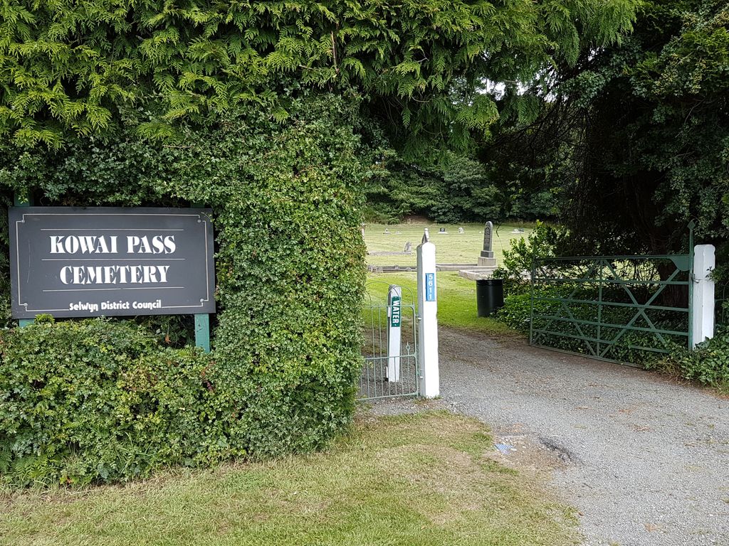
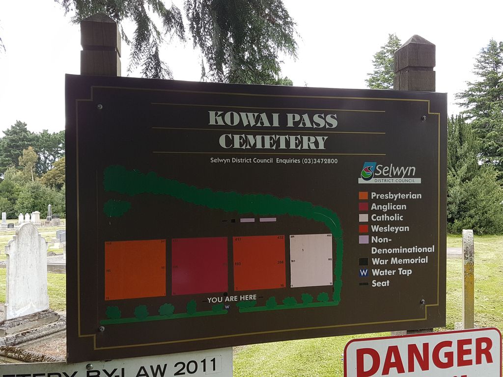
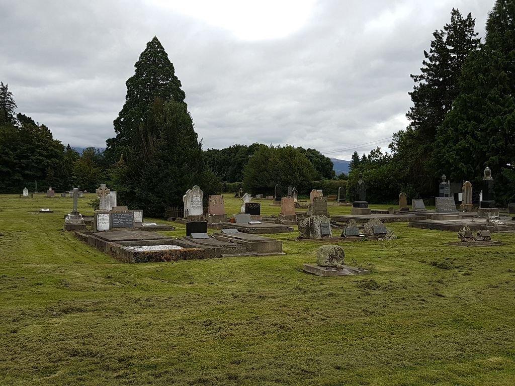
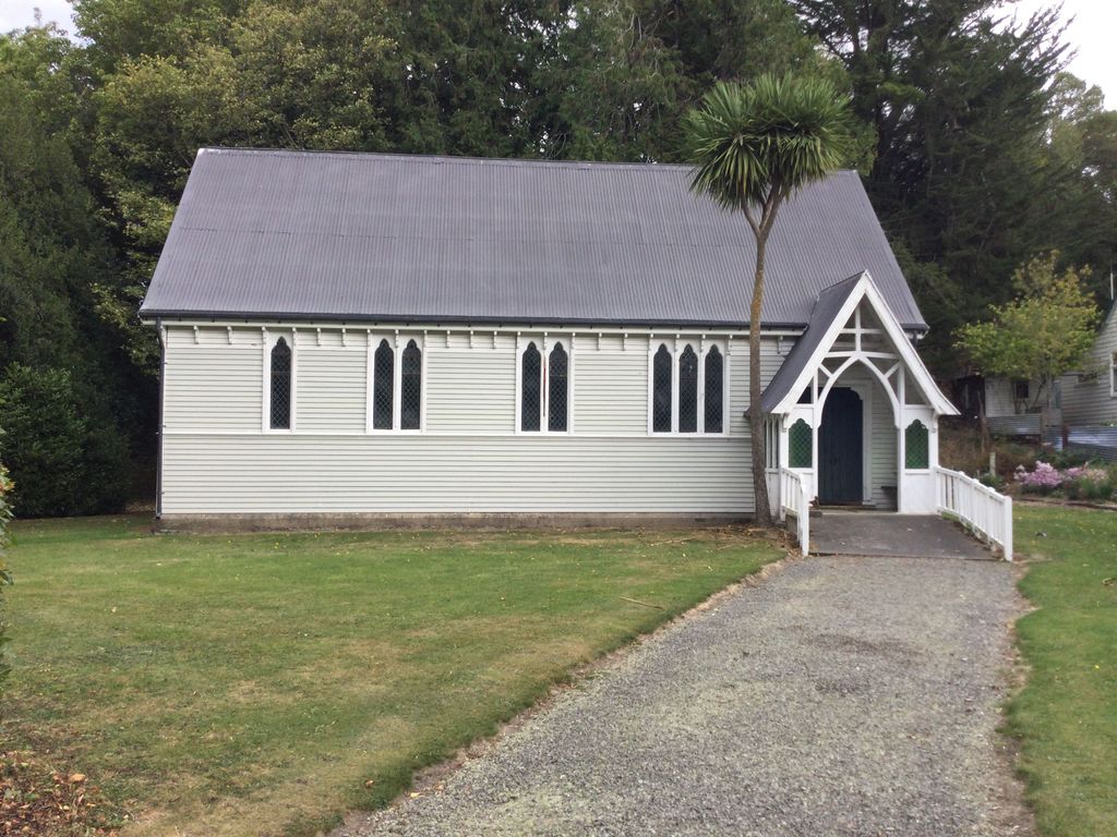
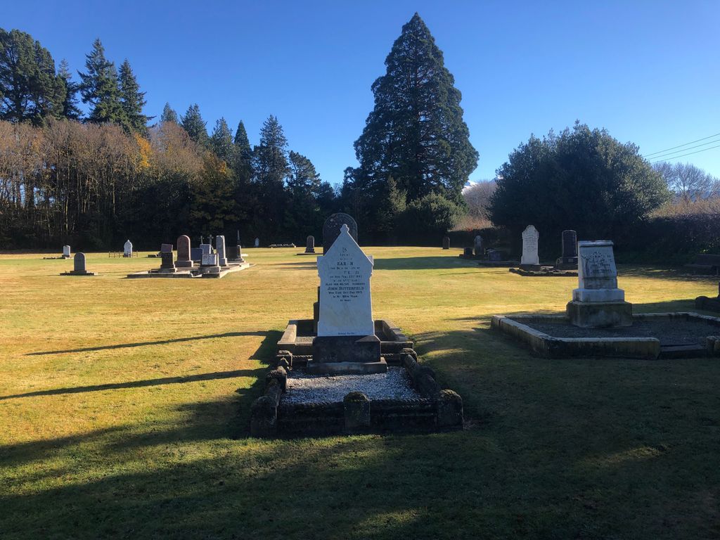
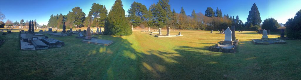
| Description | : | Springfield - Saint Peter Church and Kowai Pass Cemetery, serving the populations of Springfield and the surrounding farming area of the Malvern Hills (including Annat, Kowai, and Sheffield) is set in a secluded location beside the main highway. All records prior to 1903 have disappeared, having either been lost or destroyed in a fire. The earliest known burials (from headstone inscriptions) are: 1876 - Methodist block 1878 - Presbyterian and Anglican blocks 1881 - Catholic block. |
frequently asked questions (FAQ):
-
Where is Kowai Pass Cemetery?
Kowai Pass Cemetery is located at Springfield, Selwyn District ,Canterbury ,New Zealand.
-
Kowai Pass Cemetery cemetery's updated grave count on graveviews.com?
41 memorials
-
Where are the coordinates of the Kowai Pass Cemetery?
Latitude: -43.3399830
Longitude: 171.9334560
Nearby Cemetories:
1. Waddington Cemetery
Waddington, Selwyn District, New Zealand
Coordinate: -43.4001830, 172.0424870
2. South Malvern Cemetery
Glentunnel, Selwyn District, New Zealand
Coordinate: -43.4807300, 171.9475200
3. Kimberley Cemetery
Darfield, Selwyn District, New Zealand
Coordinate: -43.4485800, 172.1208100
4. St Johns Churchyard
Hororata, Selwyn District, New Zealand
Coordinate: -43.5189100, 171.9457550
5. Hororata Cemetery
Hororata, Selwyn District, New Zealand
Coordinate: -43.5196600, 171.9461100
6. Rockwood Station Cemetery
Windwhistle, Selwyn District, New Zealand
Coordinate: -43.4928406, 171.7730184
7. Glenroy War Memorial
Glenroy, Selwyn District, New Zealand
Coordinate: -43.5199750, 171.8345040
8. Trinity Church Columbarium
Darfield, Selwyn District, New Zealand
Coordinate: -43.4888350, 172.1052750
9. St Joseph's Catholic Cemetery
Darfield, Selwyn District, New Zealand
Coordinate: -43.4918030, 172.1081060
10. Oxford Cemetery
Oxford, Waimakariri District, New Zealand
Coordinate: -43.2976980, 172.2000500
11. Greendale Cemetery
Greendale, Selwyn District, New Zealand
Coordinate: -43.5447560, 172.0772460
12. Kirwee Cemetery
Kirwee, Selwyn District, New Zealand
Coordinate: -43.4935800, 172.2118100
13. St George's Anglican Churchyard
Kirwee, Selwyn District, New Zealand
Coordinate: -43.4940826, 172.2182446
14. St Matthew's Churchyard
Courtenay, Selwyn District, New Zealand
Coordinate: -43.4819060, 172.2792350
15. Lake Coleridge Cemetery
Lake Coleridge, Selwyn District, New Zealand
Coordinate: -43.3695530, 171.5264300
16. Cust Anglican Cemetery
Cust, Waimakariri District, New Zealand
Coordinate: -43.3103410, 172.3545810
17. Birch Hill Cemetery
Waimakariri District, New Zealand
Coordinate: -43.2144910, 172.3319440
18. Highbank Cemetery
Highbank, Ashburton District, New Zealand
Coordinate: -43.6228060, 171.7387780
19. Cust War Memorial
Cust, Waimakariri District, New Zealand
Coordinate: -43.3114200, 172.3736700
20. Halkett Presbyterian Churchyard
Halkett, Selwyn District, New Zealand
Coordinate: -43.5011000, 172.3220900
21. Cust-West Eyreton Cemetery
Cust, Waimakariri District, New Zealand
Coordinate: -43.3183330, 172.3877170
22. Barrhill Cemetery
Barrhill, Ashburton District, New Zealand
Coordinate: -43.6756950, 171.8480790
23. Methven Cemetery
Methven, Ashburton District, New Zealand
Coordinate: -43.6346810, 171.6563070
24. Dunsandel Cemetery
Dunsandel, Selwyn District, New Zealand
Coordinate: -43.6710940, 172.1382620