
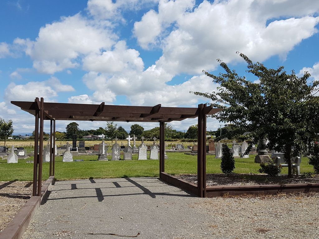
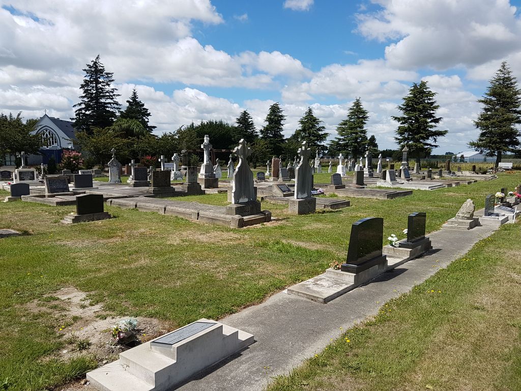
| Memorials | : | 6 |
| Location | : | Darfield, Selwyn District, New Zealand |
| Coordinate | : | -43.4918030, 172.1081060 |
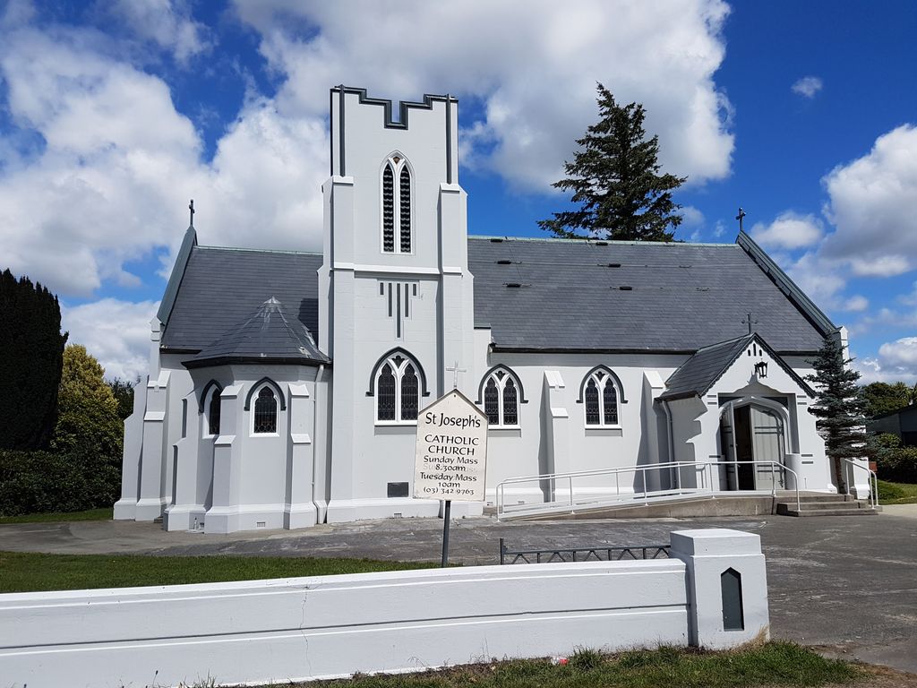
| Description | : | St Joseph's Roman Catholic Church and cemetery in Darfield were dedicated by the Reverend Father Chervier on 31st October 1880. The church stands on a 2 acre section, a gift from a Mr Maxwell of Racecourse Hill, who also contributed significantly to the church's erection. Described as "compact", the church itself was 30ft x 18ft with a sanctuary 12ft x 10ft. The two were separated by an arch. Built in a Gothic style, the western end has a large three-light window with two large windows at the eastern end. Entrance is made via two porches "similar to those at the... Read More |
frequently asked questions (FAQ):
-
Where is St Joseph's Catholic Cemetery?
St Joseph's Catholic Cemetery is located at Cardale Street and Telegraph Road Darfield, Selwyn District ,Canterbury ,New Zealand.
-
St Joseph's Catholic Cemetery cemetery's updated grave count on graveviews.com?
6 memorials
-
Where are the coordinates of the St Joseph's Catholic Cemetery?
Latitude: -43.4918030
Longitude: 172.1081060
Nearby Cemetories:
1. Trinity Church Columbarium
Darfield, Selwyn District, New Zealand
Coordinate: -43.4888350, 172.1052750
2. Kimberley Cemetery
Darfield, Selwyn District, New Zealand
Coordinate: -43.4485800, 172.1208100
3. Greendale Cemetery
Greendale, Selwyn District, New Zealand
Coordinate: -43.5447560, 172.0772460
4. Kirwee Cemetery
Kirwee, Selwyn District, New Zealand
Coordinate: -43.4935800, 172.2118100
5. St George's Anglican Churchyard
Kirwee, Selwyn District, New Zealand
Coordinate: -43.4940826, 172.2182446
6. Waddington Cemetery
Waddington, Selwyn District, New Zealand
Coordinate: -43.4001830, 172.0424870
7. South Malvern Cemetery
Glentunnel, Selwyn District, New Zealand
Coordinate: -43.4807300, 171.9475200
8. Hororata Cemetery
Hororata, Selwyn District, New Zealand
Coordinate: -43.5196600, 171.9461100
9. St Johns Churchyard
Hororata, Selwyn District, New Zealand
Coordinate: -43.5189100, 171.9457550
10. St Matthew's Churchyard
Courtenay, Selwyn District, New Zealand
Coordinate: -43.4819060, 172.2792350
11. Halkett Presbyterian Churchyard
Halkett, Selwyn District, New Zealand
Coordinate: -43.5011000, 172.3220900
12. Dunsandel Cemetery
Dunsandel, Selwyn District, New Zealand
Coordinate: -43.6710940, 172.1382620
13. St Paul's Anglican Church Cemetery
West Melton, Selwyn District, New Zealand
Coordinate: -43.5261700, 172.3701800
14. Kowai Pass Cemetery
Springfield, Selwyn District, New Zealand
Coordinate: -43.3399830, 171.9334560
15. Glenroy War Memorial
Glenroy, Selwyn District, New Zealand
Coordinate: -43.5199750, 171.8345040
16. Oxford Cemetery
Oxford, Waimakariri District, New Zealand
Coordinate: -43.2976980, 172.2000500
17. Brookside Cemetery
Brookside, Selwyn District, New Zealand
Coordinate: -43.6751800, 172.2683700
18. Weedons Cemetery
Weedons, Selwyn District, New Zealand
Coordinate: -43.5670010, 172.4015870
19. Rockwood Station Cemetery
Windwhistle, Selwyn District, New Zealand
Coordinate: -43.4928406, 171.7730184
20. St Luke's Anglican Churchyard
Brookside, Selwyn District, New Zealand
Coordinate: -43.6903100, 172.3029000
21. Cust Anglican Cemetery
Cust, Waimakariri District, New Zealand
Coordinate: -43.3103410, 172.3545810
22. Killinchy Cemetery
Leeston, Selwyn District, New Zealand
Coordinate: -43.7325610, 172.2411540
23. Barrhill Cemetery
Barrhill, Ashburton District, New Zealand
Coordinate: -43.6756950, 171.8480790
24. Cust War Memorial
Cust, Waimakariri District, New Zealand
Coordinate: -43.3114200, 172.3736700