
| Memorials | : | 6 |
| Location | : | Courtenay, Selwyn District, New Zealand |
| Phone | : | (03)317 9079 |
| Coordinate | : | -43.4819060, 172.2792350 |
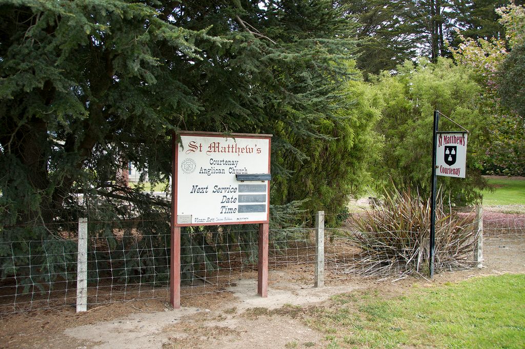
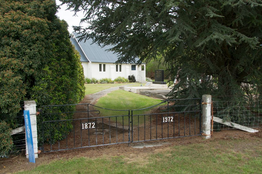
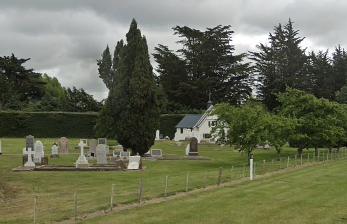
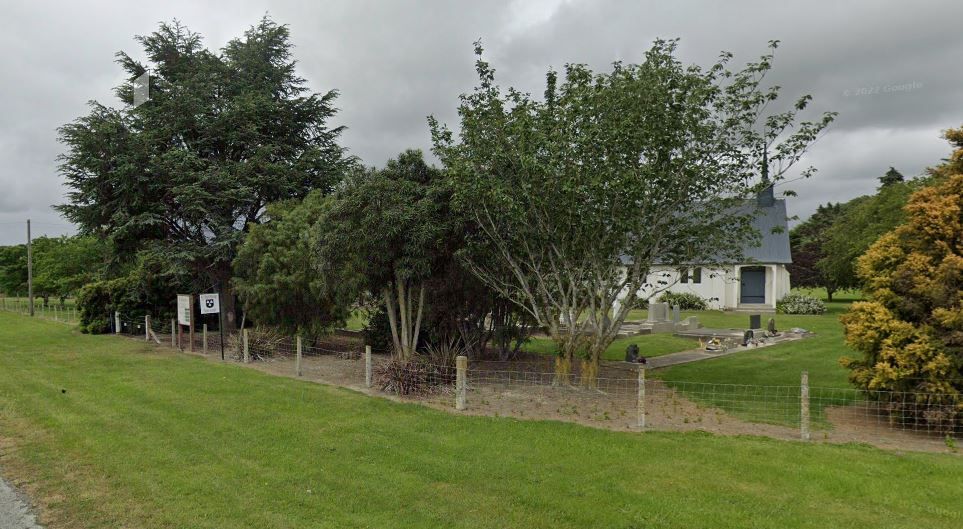
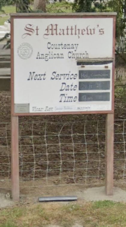
| Description | : | St Matthew’s Church, situated in the rural area of Courtenay near West Melton on the Canterbury Plains, is a small set-up on a quiet back road – Halkett Road. The graveyard is dominated with the gravestones of the Anson, Davis, Fowler, Roper and Watson families. The earliest gravestone is from January 1874 for William Cunnion. |
frequently asked questions (FAQ):
-
Where is St Matthew's Churchyard?
St Matthew's Churchyard is located at Cnr Halkett and Woolshed Rds Courtenay, Selwyn District ,Canterbury , 7671New Zealand.
-
St Matthew's Churchyard cemetery's updated grave count on graveviews.com?
5 memorials
-
Where are the coordinates of the St Matthew's Churchyard?
Latitude: -43.4819060
Longitude: 172.2792350

Nearby Cemetories:
1. Halkett Presbyterian Churchyard
Halkett, Selwyn District, New Zealand
Coordinate: -43.5011000, 172.3220900
2. St George's Anglican Churchyard
Kirwee, Selwyn District, New Zealand
Coordinate: -43.4940826, 172.2182446
3. Kirwee Cemetery
Kirwee, Selwyn District, New Zealand
Coordinate: -43.4935800, 172.2118100
4. St Paul's Anglican Church Cemetery
West Melton, Selwyn District, New Zealand
Coordinate: -43.5261700, 172.3701800
5. Kimberley Cemetery
Darfield, Selwyn District, New Zealand
Coordinate: -43.4485800, 172.1208100
6. Weedons Cemetery
Weedons, Selwyn District, New Zealand
Coordinate: -43.5670010, 172.4015870
7. St Joseph's Catholic Cemetery
Darfield, Selwyn District, New Zealand
Coordinate: -43.4918030, 172.1081060
8. Trinity Church Columbarium
Darfield, Selwyn District, New Zealand
Coordinate: -43.4888350, 172.1052750
9. Yaldhurst Cemetery
Yaldhurst, Christchurch City, New Zealand
Coordinate: -43.5109640, 172.4765980
10. St Saviours Churchyard
Templeton, Christchurch City, New Zealand
Coordinate: -43.5501420, 172.4714620
11. Greendale Cemetery
Greendale, Selwyn District, New Zealand
Coordinate: -43.5447560, 172.0772460
12. Cust Anglican Cemetery
Cust, Waimakariri District, New Zealand
Coordinate: -43.3103410, 172.3545810
13. Shands Road Cemetery
Prebbleton, Selwyn District, New Zealand
Coordinate: -43.5792540, 172.4888630
14. Cust-West Eyreton Cemetery
Cust, Waimakariri District, New Zealand
Coordinate: -43.3183330, 172.3877170
15. Cust War Memorial
Cust, Waimakariri District, New Zealand
Coordinate: -43.3114200, 172.3736700
16. Waddington Cemetery
Waddington, Selwyn District, New Zealand
Coordinate: -43.4001830, 172.0424870
17. Oxford Cemetery
Oxford, Waimakariri District, New Zealand
Coordinate: -43.2976980, 172.2000500
18. Brookside Cemetery
Brookside, Selwyn District, New Zealand
Coordinate: -43.6751800, 172.2683700
19. Swannanoa Community Churchyard
Swannanoa, Waimakariri District, New Zealand
Coordinate: -43.3701500, 172.4975000
20. St Mary's Churchyard
Springston, Selwyn District, New Zealand
Coordinate: -43.6446560, 172.4263590
21. All Saint's Churchyard
Prebbleton, Selwyn District, New Zealand
Coordinate: -43.5781040, 172.5131430
22. Prebbleton Cemetery
Prebbleton, Selwyn District, New Zealand
Coordinate: -43.5887200, 172.5053500
23. Avonhead Memorial Cemetery
Avonhead, Christchurch City, New Zealand
Coordinate: -43.5095390, 172.5503920
24. Springston Cemetery
Lincoln, Selwyn District, New Zealand
Coordinate: -43.6404360, 172.4509420