
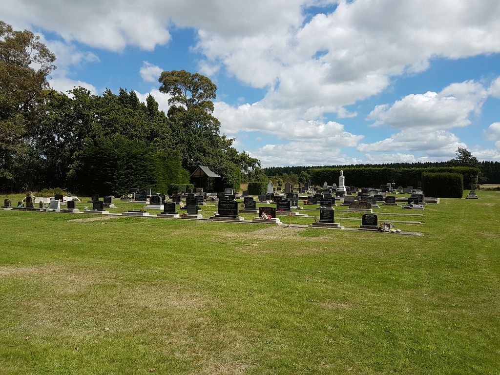
| Memorials | : | 28 |
| Location | : | Darfield, Selwyn District, New Zealand |
| Coordinate | : | -43.4485800, 172.1208100 |
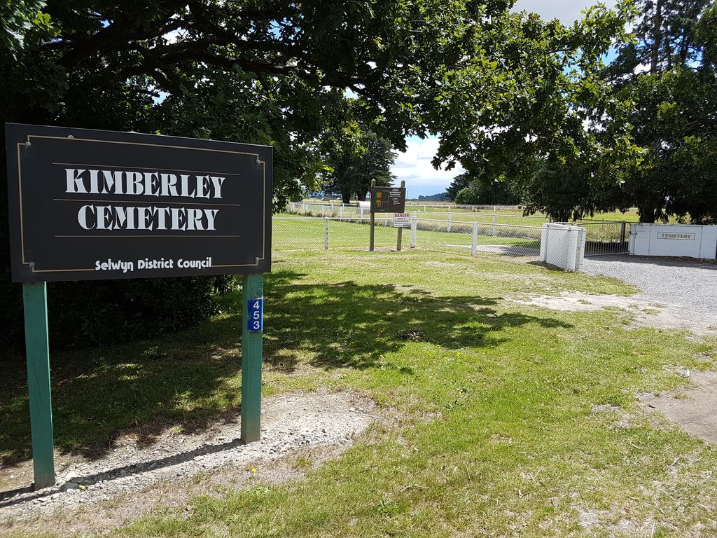
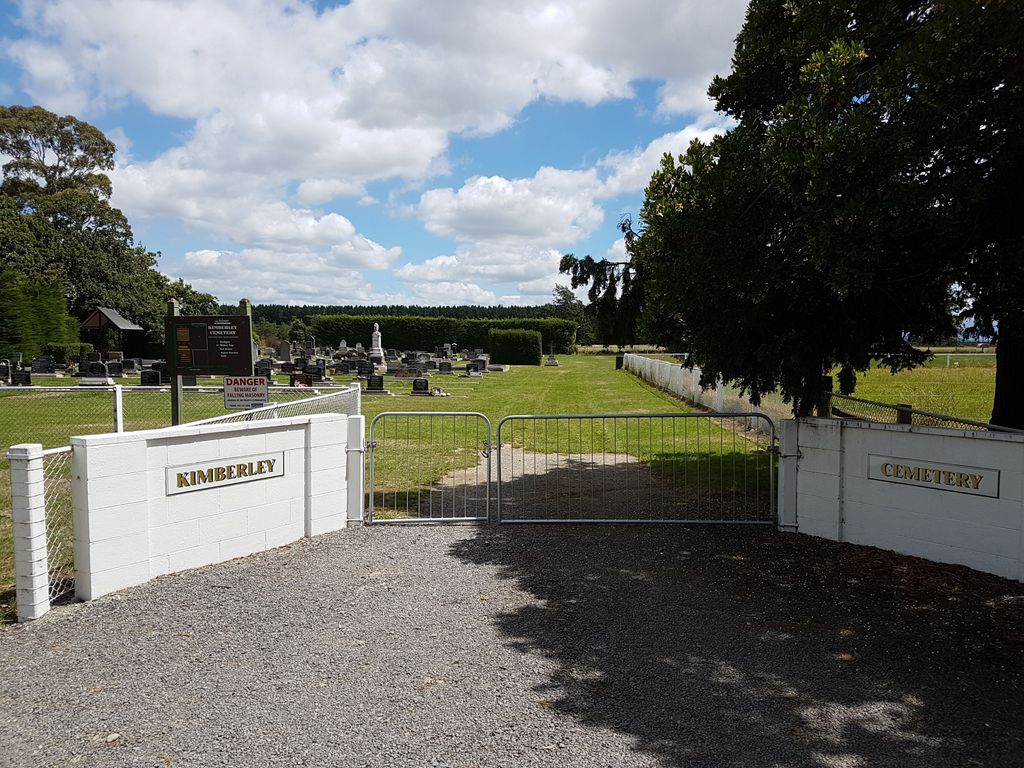
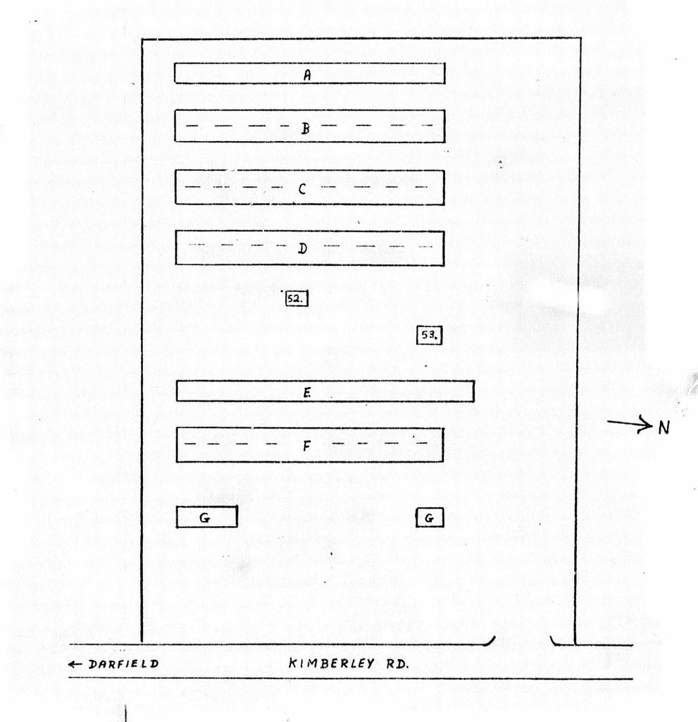
| Description | : | From Waddington, take Tramway Road. Turn right towards Darfield into Kimberley Road. The cemetery is a short way past the junction on the right hand side. |
frequently asked questions (FAQ):
-
Where is Kimberley Cemetery?
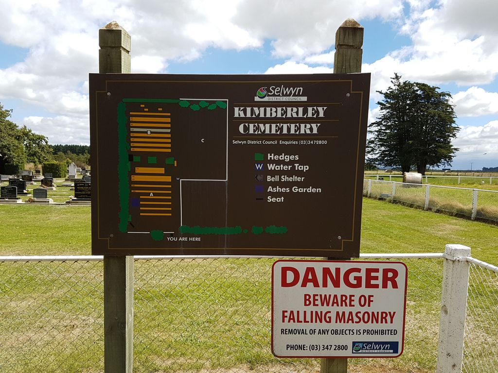
Kimberley Cemetery is located at 451 Kimberley Rd Darfield, Selwyn District ,Canterbury , 7571New Zealand.
-
Kimberley Cemetery cemetery's updated grave count on graveviews.com?
28 memorials
-
Where are the coordinates of the Kimberley Cemetery?
Latitude: -43.4485800
Longitude: 172.1208100
Nearby Cemetories:
1. Trinity Church Columbarium
Darfield, Selwyn District, New Zealand
Coordinate: -43.4888350, 172.1052750
2. St Joseph's Catholic Cemetery
Darfield, Selwyn District, New Zealand
Coordinate: -43.4918030, 172.1081060
3. Waddington Cemetery
Waddington, Selwyn District, New Zealand
Coordinate: -43.4001830, 172.0424870
4. Kirwee Cemetery
Kirwee, Selwyn District, New Zealand
Coordinate: -43.4935800, 172.2118100
5. St George's Anglican Churchyard
Kirwee, Selwyn District, New Zealand
Coordinate: -43.4940826, 172.2182446
6. Greendale Cemetery
Greendale, Selwyn District, New Zealand
Coordinate: -43.5447560, 172.0772460
7. St Matthew's Churchyard
Courtenay, Selwyn District, New Zealand
Coordinate: -43.4819060, 172.2792350
8. South Malvern Cemetery
Glentunnel, Selwyn District, New Zealand
Coordinate: -43.4807300, 171.9475200
9. St Johns Churchyard
Hororata, Selwyn District, New Zealand
Coordinate: -43.5189100, 171.9457550
10. Hororata Cemetery
Hororata, Selwyn District, New Zealand
Coordinate: -43.5196600, 171.9461100
11. Halkett Presbyterian Churchyard
Halkett, Selwyn District, New Zealand
Coordinate: -43.5011000, 172.3220900
12. Oxford Cemetery
Oxford, Waimakariri District, New Zealand
Coordinate: -43.2976980, 172.2000500
13. Kowai Pass Cemetery
Springfield, Selwyn District, New Zealand
Coordinate: -43.3399830, 171.9334560
14. St Paul's Anglican Church Cemetery
West Melton, Selwyn District, New Zealand
Coordinate: -43.5261700, 172.3701800
15. Cust Anglican Cemetery
Cust, Waimakariri District, New Zealand
Coordinate: -43.3103410, 172.3545810
16. Glenroy War Memorial
Glenroy, Selwyn District, New Zealand
Coordinate: -43.5199750, 171.8345040
17. Dunsandel Cemetery
Dunsandel, Selwyn District, New Zealand
Coordinate: -43.6710940, 172.1382620
18. Cust War Memorial
Cust, Waimakariri District, New Zealand
Coordinate: -43.3114200, 172.3736700
19. Cust-West Eyreton Cemetery
Cust, Waimakariri District, New Zealand
Coordinate: -43.3183330, 172.3877170
20. Weedons Cemetery
Weedons, Selwyn District, New Zealand
Coordinate: -43.5670010, 172.4015870
21. Brookside Cemetery
Brookside, Selwyn District, New Zealand
Coordinate: -43.6751800, 172.2683700
22. Rockwood Station Cemetery
Windwhistle, Selwyn District, New Zealand
Coordinate: -43.4928406, 171.7730184
23. Yaldhurst Cemetery
Yaldhurst, Christchurch City, New Zealand
Coordinate: -43.5109640, 172.4765980
24. St Saviours Churchyard
Templeton, Christchurch City, New Zealand
Coordinate: -43.5501420, 172.4714620