
| Memorials | : | 18 |
| Location | : | Salem Township, Jefferson County, USA |
| Coordinate | : | 40.4106710, -80.8383720 |
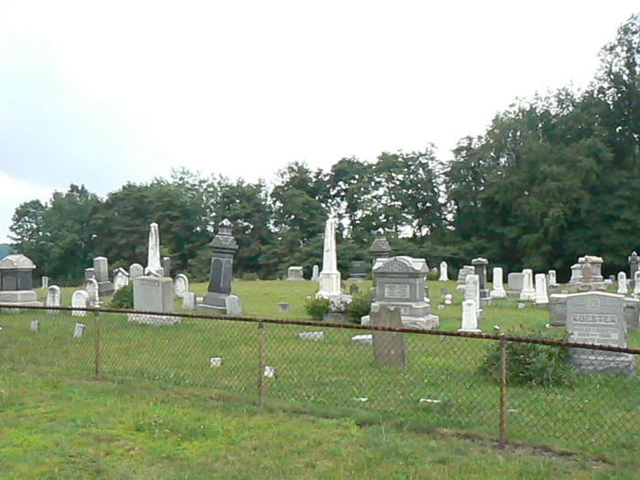
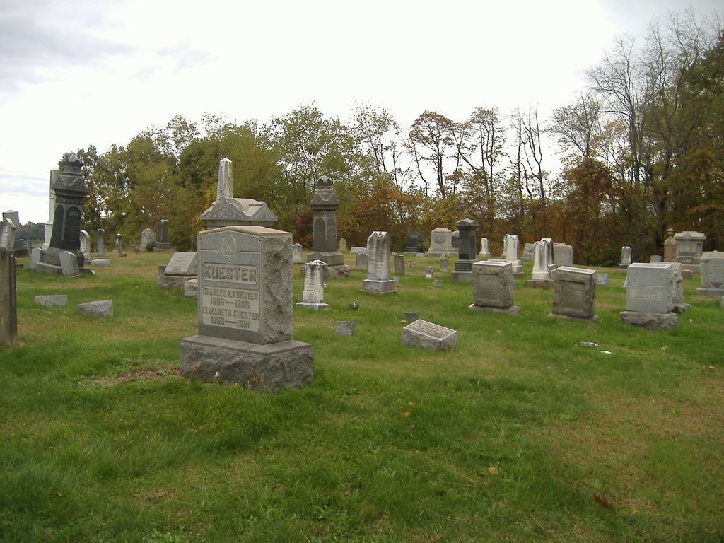
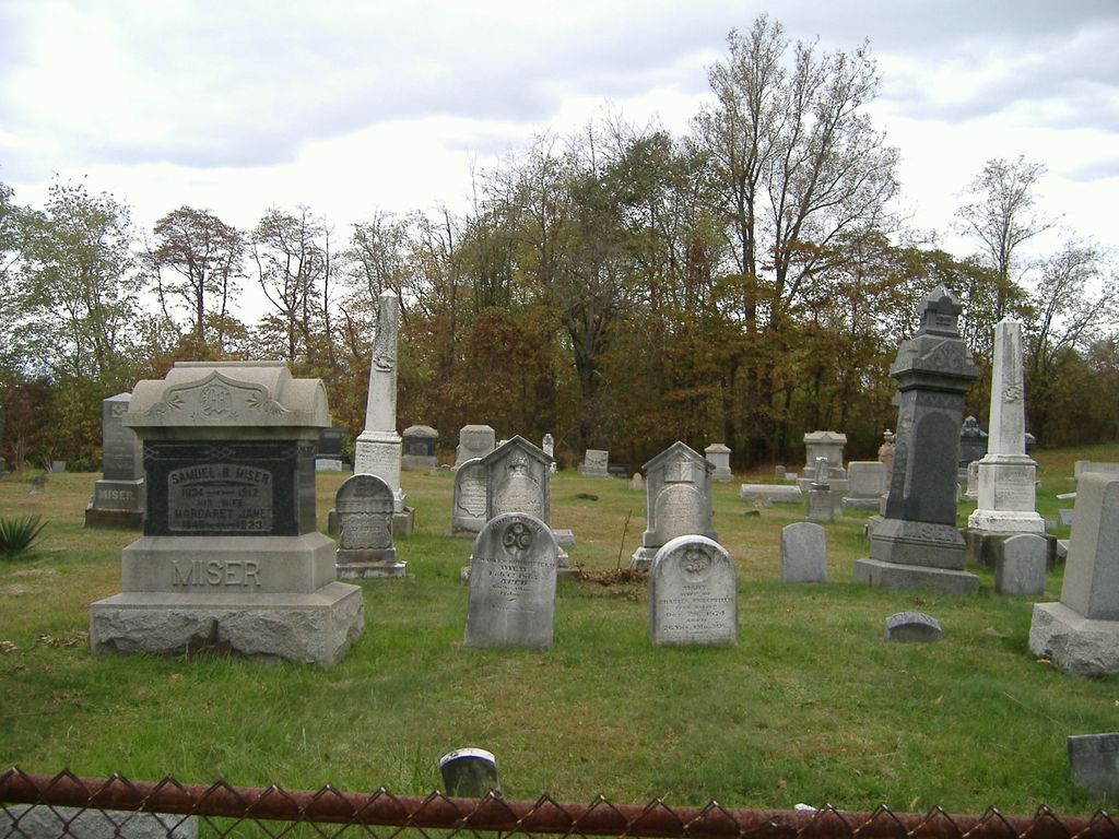
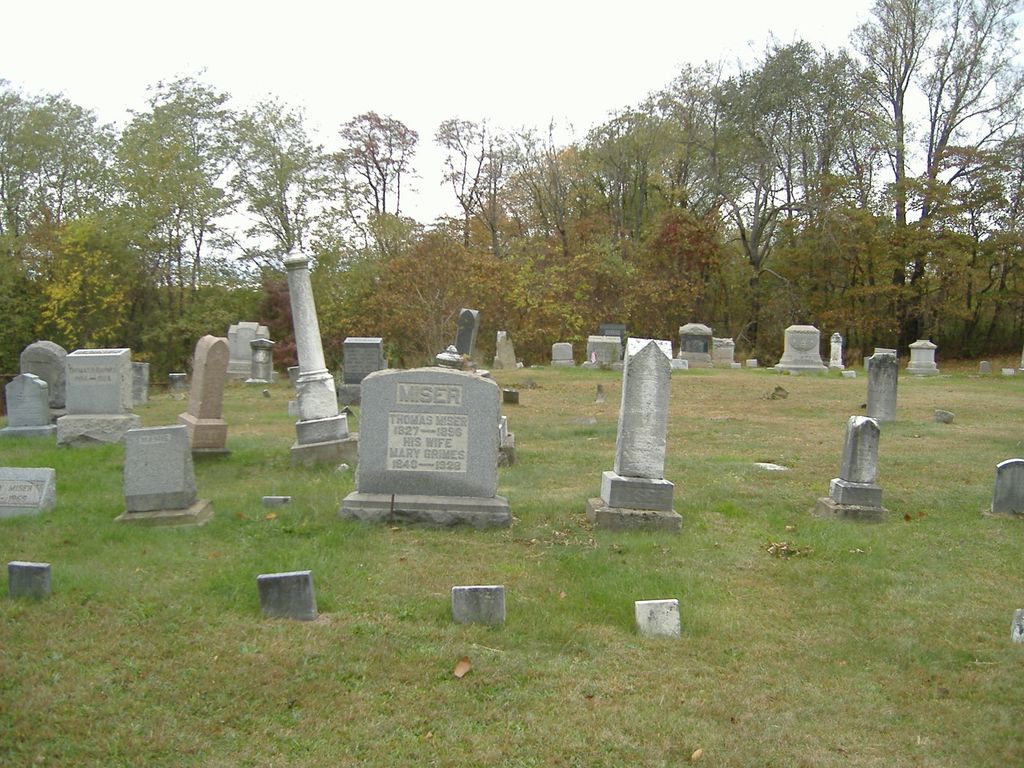
| Description | : | The cemetery is located on the north side of Ohio State Route 646 about 0.4 miles west of its intersection with Township Road 211. The cemetery is located in Salem Township, Jefferson County, Ohio, and is # 15358 (Unidentified Cemetery #1) in “Ohio Cemeteries 1803-2003”, compiled by the Ohio Genealogical Society. The U.S. Geological Survey (USGS) Geographic Names Information System (GNIS) feature ID for the cemetery is 1042452 (Leas Cemetery). |
frequently asked questions (FAQ):
-
Where is Leas Cemetery?
Leas Cemetery is located at Ohio State Route 646 Salem Township, Jefferson County ,Ohio , 43910USA.
-
Leas Cemetery cemetery's updated grave count on graveviews.com?
18 memorials
-
Where are the coordinates of the Leas Cemetery?
Latitude: 40.4106710
Longitude: -80.8383720
Nearby Cemetories:
1. Mount Hope Cemetery
Salem Township, Jefferson County, USA
Coordinate: 40.4075012, -80.8182983
2. Annapolis Lutheran Cemetery
Annapolis, Jefferson County, USA
Coordinate: 40.4130307, -80.8608010
3. Annapolis Cemetery
Salem Township, Jefferson County, USA
Coordinate: 40.4100583, -80.8636942
4. Sproat Cemetery
Harrison County, USA
Coordinate: 40.4039001, -80.8719025
5. Holy Family Hermitage Cemetery
Bloomingdale, Jefferson County, USA
Coordinate: 40.3840650, -80.8243020
6. Wallace Cemetery
Salem Township, Jefferson County, USA
Coordinate: 40.4391170, -80.8176500
7. Queen of All Saints Cemetery
Bloomingdale, Jefferson County, USA
Coordinate: 40.3841050, -80.8094450
8. Quaker Cemetery
Richmond, Jefferson County, USA
Coordinate: 40.4112680, -80.7883450
9. Pine Run Cemetery
Unionport, Jefferson County, USA
Coordinate: 40.3703003, -80.8407974
10. East Springfield Cemetery
East Springfield, Jefferson County, USA
Coordinate: 40.4490890, -80.8592080
11. Buffalo Hill Cemetery
Harrison County, USA
Coordinate: 40.3911018, -80.8886032
12. Unionport Cemetery
Unionport, Jefferson County, USA
Coordinate: 40.3650440, -80.8496090
13. Davidson Cemetery
Springfield Township, Jefferson County, USA
Coordinate: 40.4441986, -80.8818970
14. Richmond Union Cemetery
Richmond, Jefferson County, USA
Coordinate: 40.4289017, -80.7763977
15. Carne Cemetery
Salem Township, Jefferson County, USA
Coordinate: 40.4089012, -80.7667007
16. Methodist-Episcopal Cemetery
Richmond, Jefferson County, USA
Coordinate: 40.4317460, -80.7709400
17. Wheeler Cemetery
Hopedale, Harrison County, USA
Coordinate: 40.3632420, -80.8786110
18. Miller Cemetery
Springfield Township, Jefferson County, USA
Coordinate: 40.4509580, -80.8913850
19. Richmond United Presbyterian Cemetery
Salem Township, Jefferson County, USA
Coordinate: 40.4310989, -80.7680969
20. Blue Ridge Cemetery
Hopedale, Harrison County, USA
Coordinate: 40.3671989, -80.8949966
21. All Saints Russian Orthodox Church Cemetery
Wolf Run, Jefferson County, USA
Coordinate: 40.4598130, -80.8920900
22. Zion Cemetery
Germano, Harrison County, USA
Coordinate: 40.4030991, -80.9238968
23. Montgomery Cemetery
East Springfield, Jefferson County, USA
Coordinate: 40.4776540, -80.8347600
24. Mizer Cemetery
Amsterdam, Jefferson County, USA
Coordinate: 40.4318450, -80.9247940