
| Memorials | : | 4 |
| Location | : | Lowgap, Surry County, USA |
| Coordinate | : | 36.5273056, -80.8688583 |
frequently asked questions (FAQ):
-
Where is Liberty Union Baptist Cemetery?
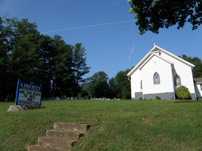
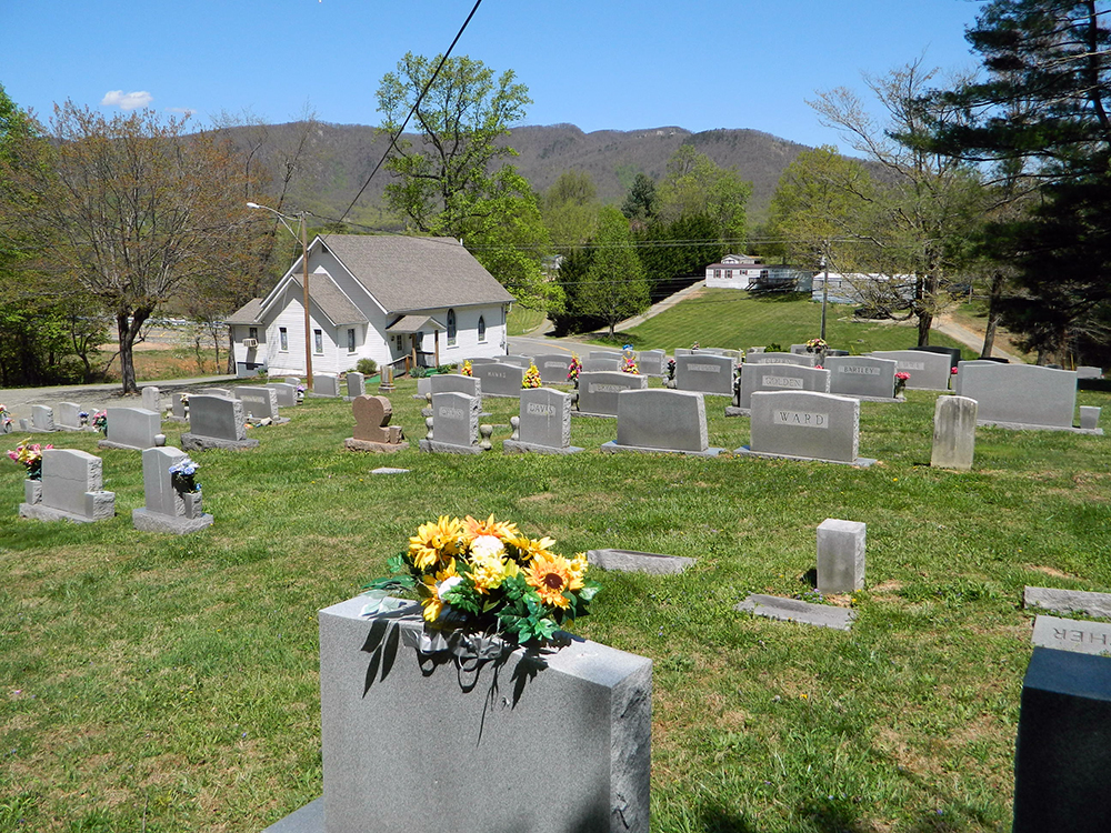
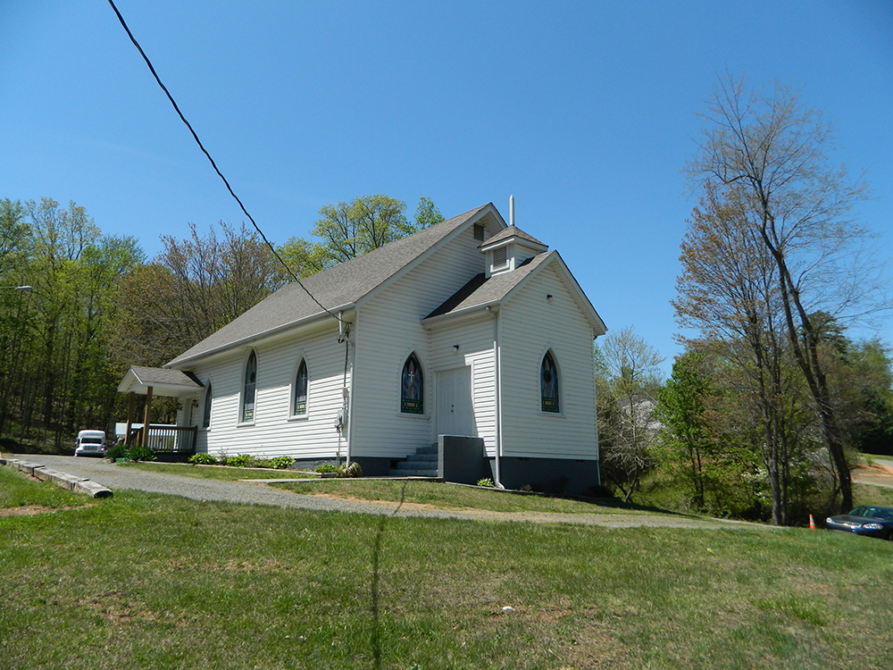
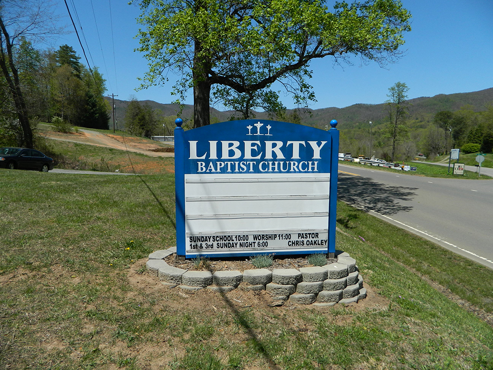
Liberty Union Baptist Cemetery is located at Lowgap, Surry County ,North Carolina ,USA.
-
Liberty Union Baptist Cemetery cemetery's updated grave count on graveviews.com?
4 memorials
-
Where are the coordinates of the Liberty Union Baptist Cemetery?
Latitude: 36.5273056
Longitude: -80.8688583

Nearby Cemetories:
1. Galyean Family Cemetery
Lowgap, Surry County, USA
Coordinate: 36.5346140, -80.8703660
2. Shinault Family Cemetery
Lowgap, Surry County, USA
Coordinate: 36.5333640, -80.8758540
3. Mountain View Baptist Church Cemetery
Lowgap, Surry County, USA
Coordinate: 36.5197420, -80.8645570
4. Fishers Gap Church Cemetery
Lowgap, Surry County, USA
Coordinate: 36.5231400, -80.8833923
5. Cockerham Family Cemetery
Lowgap, Surry County, USA
Coordinate: 36.5284720, -80.8465830
6. Roaring Gap Baptist Church Cemetery
Lowgap, Surry County, USA
Coordinate: 36.5101929, -80.8920288
7. Barker Graveyard
Lowgap, Surry County, USA
Coordinate: 36.5295540, -80.8340600
8. Cumberland Knob Cemetery
Surry County, USA
Coordinate: 36.5535100, -80.9073400
9. Goodson Cemetery
Grayson County, USA
Coordinate: 36.5688900, -80.8611200
10. Montgomery Cemetery
Surry County, USA
Coordinate: 36.5439722, -80.8204722
11. Smith Family Cemetery
Grayson County, USA
Coordinate: 36.5701930, -80.8726180
12. Mount Vernon Baptist Church Cemetery
Beulah, Surry County, USA
Coordinate: 36.5003624, -80.8213882
13. Jarrell Family Cemetery
Lowgap, Surry County, USA
Coordinate: 36.5427860, -80.8103660
14. Ladonia Baptist Church Cemetery
Ladonia, Surry County, USA
Coordinate: 36.4780280, -80.8386670
15. Fairview Memorial Gardens
Low Gap, Grayson County, USA
Coordinate: 36.5784080, -80.9056970
16. Saddle Mountain Baptist Church Cemetery
Ennice, Alleghany County, USA
Coordinate: 36.5082300, -80.9386300
17. Low Family Cemetery
Lowgap, Surry County, USA
Coordinate: 36.5461430, -80.7985910
18. Dillard Family Cemetery
Lowgap, Surry County, USA
Coordinate: 36.5500298, -80.8002243
19. Snow Hill Baptist Church Cemetery
Low Gap, Grayson County, USA
Coordinate: 36.5859100, -80.8890390
20. Haven of Rest Bible Church Cemetery
Grayson County, USA
Coordinate: 36.5740400, -80.9222210
21. Holder Cemetery
Lowgap, Surry County, USA
Coordinate: 36.5364670, -80.7875720
22. Round Peak Primitive Baptist Church Cemetery
Round Peak, Surry County, USA
Coordinate: 36.5145264, -80.7861633
23. Big Springs Regular Baptist Church Cemetery
Delhart, Grayson County, USA
Coordinate: 36.5710090, -80.9352570
24. Payne Cemetery
Lowgap, Surry County, USA
Coordinate: 36.4947220, -80.7928060