
| Memorials | : | 53 |
| Location | : | Bean Station, Grainger County, USA |
| Coordinate | : | 36.2785988, -83.2791977 |
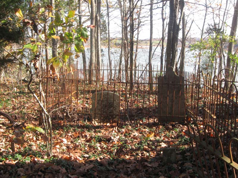
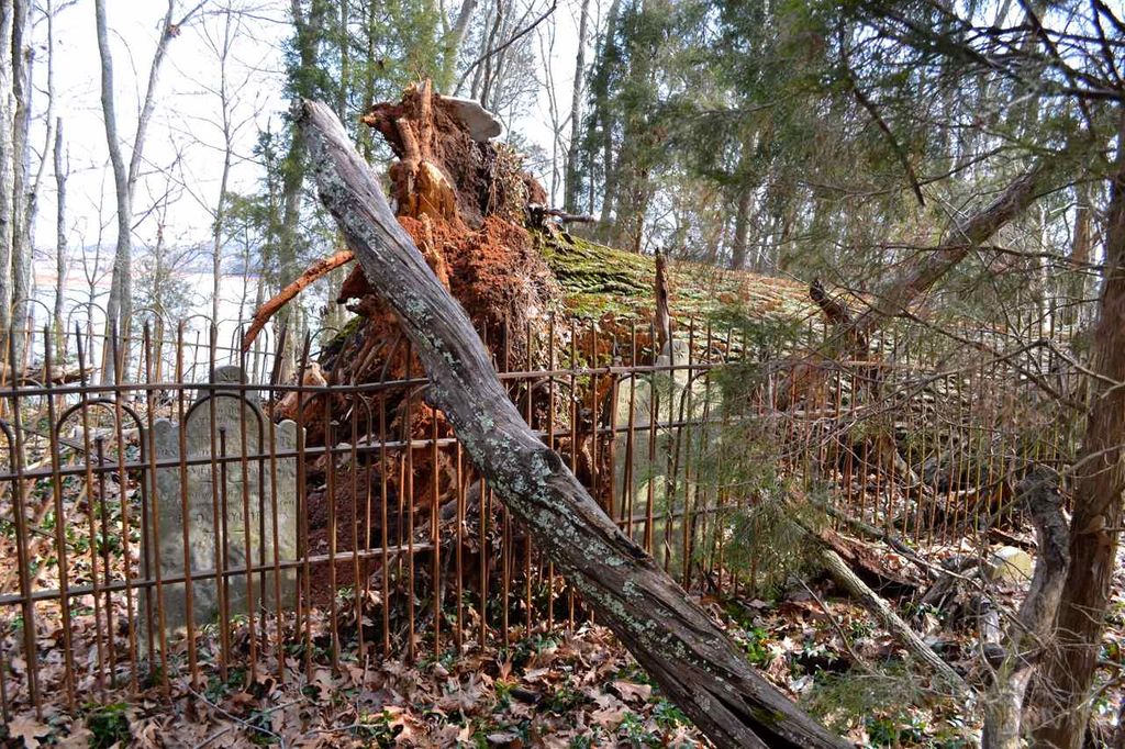
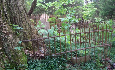
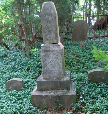
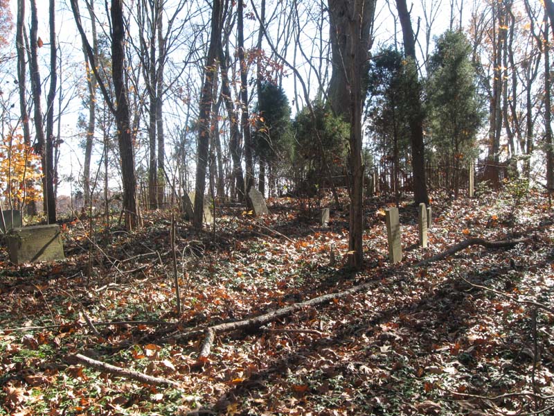
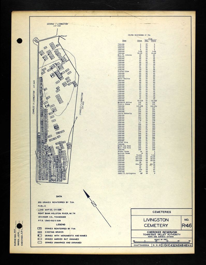
| Description | : | Located on the north bank of the Holston River, the dividing line between Grainger and Hamblen Counties, Livingston Cemetery and its 96 graves were not affected by the creation of Cherokee Lake in 1941, except for TVA's having to build a new road to access the cemetery. However, as a reinterrment cemetery, Livingston tripled in size as 203 graves from other flooded cemeteries were removed by TVA to Livingston Cemetery, most of them unidentified graves from McAnally Cemetery in Grainger County and Cocke Cemetery in Hawkins County. The marked graves in Livingston Cemetery include many early, prominent names of this... Read More |
frequently asked questions (FAQ):
-
Where is Livingston Cemetery?
Livingston Cemetery is located at off Livingston Road Bean Station, Grainger County ,Tennessee ,USA.
-
Livingston Cemetery cemetery's updated grave count on graveviews.com?
53 memorials
-
Where are the coordinates of the Livingston Cemetery?
Latitude: 36.2785988
Longitude: -83.2791977
Nearby Cemetories:
1. N L Henard Cemetery
Morristown, Hamblen County, USA
Coordinate: 36.2708221, -83.2726048
2. Taylor Family Cemetery
Bean Station, Grainger County, USA
Coordinate: 36.2876670, -83.2907330
3. Grantham Cemetery
Grainger County, USA
Coordinate: 36.2946860, -83.2794570
4. Rocky Summit Cemetery
Bean Station, Grainger County, USA
Coordinate: 36.2984750, -83.2799030
5. Dodson Cemetery
Bean Station, Grainger County, USA
Coordinate: 36.2989006, -83.2869034
6. Ford Cemetery
Grainger County, USA
Coordinate: 36.2902985, -83.3071976
7. Samsel Cemetery
Bean Station, Grainger County, USA
Coordinate: 36.3114014, -83.2925034
8. Adriel Baptist Church Cemetery
Bean Station, Grainger County, USA
Coordinate: 36.3125000, -83.2897034
9. First Independent Freewill Baptist Church Cemetery
Bean Station, Grainger County, USA
Coordinate: 36.3158860, -83.2855850
10. Fairfield Baptist Church Cemetery
Hamblen County, USA
Coordinate: 36.2561000, -83.2401800
11. Winstead Family Cemetery
Hamblen County, USA
Coordinate: 36.2493060, -83.3161570
12. Macedonia Missionary Baptist Church Cemetery
Morristown, Hamblen County, USA
Coordinate: 36.2696100, -83.3301400
13. Meek Cemetery
Bean Station, Grainger County, USA
Coordinate: 36.3207180, -83.2797150
14. County Line Cemetery
Bean Station, Grainger County, USA
Coordinate: 36.3207700, -83.2789850
15. Cedar Creek Cemetery
Russellville, Hamblen County, USA
Coordinate: 36.2711360, -83.2274010
16. Davis Cemetery
Morristown, Hamblen County, USA
Coordinate: 36.2503400, -83.2385100
17. Liberty Hill Methodist Church Cemetery
Hamblen County, USA
Coordinate: 36.2340300, -83.2751600
18. Amis Cemetery
Hamblen County, USA
Coordinate: 36.2898100, -83.2255000
19. Shannon Cemetery
Hamblen County, USA
Coordinate: 36.2468600, -83.2390600
20. Dodson Cemetery
Needmore, Hamblen County, USA
Coordinate: 36.2644005, -83.2238998
21. Noes Chapel United Methodist Church Cemetery
Morristown, Hamblen County, USA
Coordinate: 36.2401000, -83.3124900
22. Harris Cemetery
Grainger County, USA
Coordinate: 36.3055992, -83.3308029
23. Noeton Baptist Church Cemetery Original
Bean Station, Grainger County, USA
Coordinate: 36.3012600, -83.3342200
24. Morelock Cemetery
Hamblen County, USA
Coordinate: 36.2289009, -83.2611008