
| Memorials | : | 4 |
| Location | : | Luccombe, West Somerset District, England |
| Coordinate | : | 51.1897360, -3.5609100 |
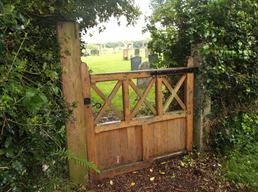
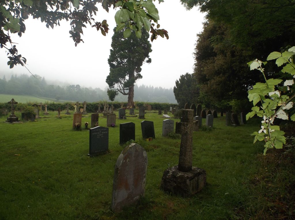
| Description | : | The Cemetery is a short walk along the right hand lane leading from the gate behind the Church. It contains four Military Graves as per CWGC. |
frequently asked questions (FAQ):
-
Where is Luccombe Extension Cemetery?
Luccombe Extension Cemetery is located at Luccombe, West Somerset District ,Somerset ,England.
-
Luccombe Extension Cemetery cemetery's updated grave count on graveviews.com?
4 memorials
-
Where are the coordinates of the Luccombe Extension Cemetery?
Latitude: 51.1897360
Longitude: -3.5609100
Nearby Cemetories:
1. St. Mary's Churchyard
Luccombe, West Somerset District, England
Coordinate: 51.1895770, -3.5596880
2. Selworthy Extension Cemeteries
Selworthy, West Somerset District, England
Coordinate: 51.2098330, -3.5481240
3. All Saints Churchyard
Selworthy, West Somerset District, England
Coordinate: 51.2101800, -3.5475440
4. Porlock Cemetery
Porlock, West Somerset District, England
Coordinate: 51.2033790, -3.5954070
5. All Saints Churchyard
Wootton Courtenay, West Somerset District, England
Coordinate: 51.1801840, -3.5203550
6. St Dubricius Churchyard
Porlock, West Somerset District, England
Coordinate: 51.2083000, -3.5955000
7. Stoke Pero Churchyard
Porlock, West Somerset District, England
Coordinate: 51.1796510, -3.6060674
8. Minehead Cemetery
Minehead, West Somerset District, England
Coordinate: 51.2050650, -3.4982030
9. St. Petrock's Churchyard
Timberscombe, West Somerset District, England
Coordinate: 51.1680950, -3.4948210
10. St. John the Evangelist Churchyard
Cutcombe, West Somerset District, England
Coordinate: 51.1424576, -3.5295319
11. St. Michael's Anglican Church Cemetery
Minehead, West Somerset District, England
Coordinate: 51.2110390, -3.4808250
12. Culbone St. Bueno's Churchyard
Oare, West Somerset District, England
Coordinate: 51.2213640, -3.6594820
13. Grabbist Hill Cemetery
Dunster, West Somerset District, England
Coordinate: 51.1820510, -3.4492540
14. George Street Cemetery
Dunster, West Somerset District, England
Coordinate: 51.1833740, -3.4483046
15. St. Mary Magdalene Churchyard
Exford, West Somerset District, England
Coordinate: 51.1341450, -3.6342160
16. Priory Churchyard of St. George
Dunster, West Somerset District, England
Coordinate: 51.1832000, -3.4459000
17. Blesssed Virgin Mary Churchyard
Luxborough, West Somerset District, England
Coordinate: 51.1321490, -3.4680500
18. Winsford Churchyard
Winsford, West Somerset District, England
Coordinate: 51.1038000, -3.5665000
19. Saint John the Baptist Churchyard
Carhampton, West Somerset District, England
Coordinate: 51.1746000, -3.4186000
20. St Peter's Church Exton
Exton, West Somerset District, England
Coordinate: 51.0925840, -3.5352300
21. St Nicholas Churchyard
Withycombe, West Somerset District, England
Coordinate: 51.1624530, -3.4096990
22. Saint Andrew's Churchyard
Withypool, West Somerset District, England
Coordinate: 51.1078060, -3.6492700
23. St. Mary the Virgin Churchyard
Oare, West Somerset District, England
Coordinate: 51.2124350, -3.7164290
24. Treborough Parish Churchyard
Treborough, West Somerset District, England
Coordinate: 51.1180220, -3.4147610