
| Memorials | : | 170 |
| Location | : | Porlock, West Somerset District, England |
| Coordinate | : | 51.2083000, -3.5955000 |
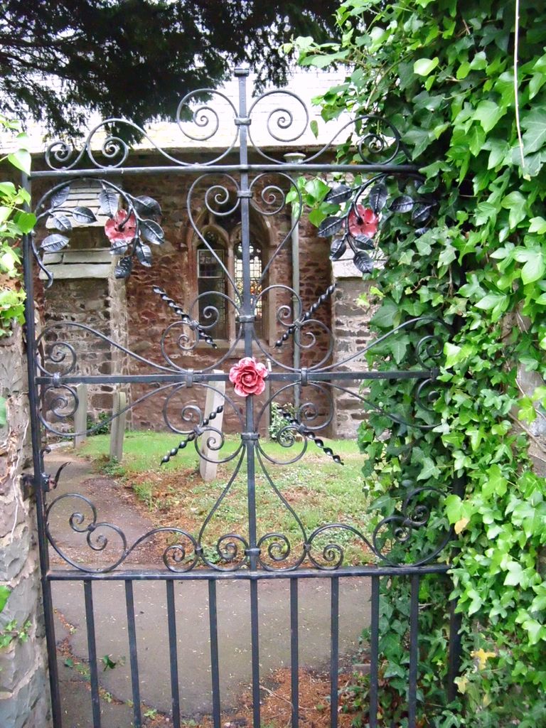
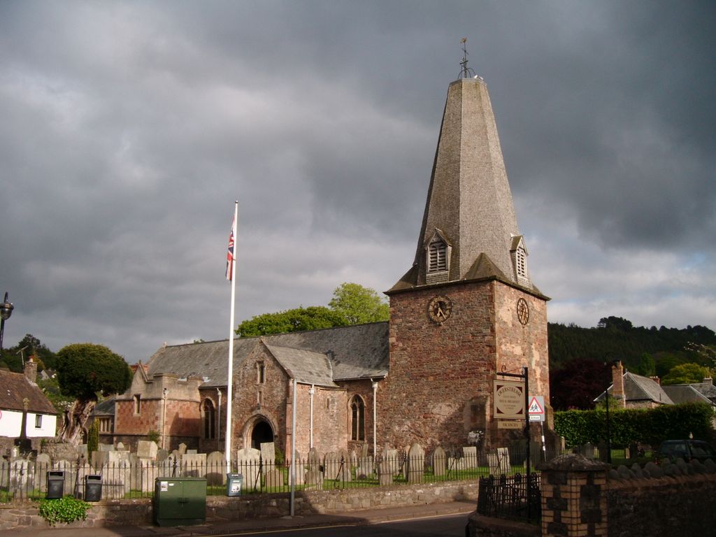
| Description | : | The Church of St Dubricius in Porlock, Somerset, England dates from the 13th century. The church has been designated by English Heritage as a grade I listed building. The dedication is to Dubricius, a 6th-century Briton ecclesiastic venerated as a saint and may indicate he travelled to the area. The church stands on the site of an earlier church which may date from around 1120. Restoration work was undertaken in the 15th century. The spire was damaged in a storm of 1703. Further restoration was undertaken between 1888 and 1891. |
frequently asked questions (FAQ):
-
Where is St Dubricius Churchyard?
St Dubricius Churchyard is located at Porlock, West Somerset District ,Somerset , TA24 8PYEngland.
-
St Dubricius Churchyard cemetery's updated grave count on graveviews.com?
170 memorials
-
Where are the coordinates of the St Dubricius Churchyard?
Latitude: 51.2083000
Longitude: -3.5955000

Nearby Cemetories:
1. Porlock Cemetery
Porlock, West Somerset District, England
Coordinate: 51.2033790, -3.5954070
2. Luccombe Extension Cemetery
Luccombe, West Somerset District, England
Coordinate: 51.1897360, -3.5609100
3. St. Mary's Churchyard
Luccombe, West Somerset District, England
Coordinate: 51.1895770, -3.5596880
4. Stoke Pero Churchyard
Porlock, West Somerset District, England
Coordinate: 51.1796510, -3.6060674
5. Selworthy Extension Cemeteries
Selworthy, West Somerset District, England
Coordinate: 51.2098330, -3.5481240
6. All Saints Churchyard
Selworthy, West Somerset District, England
Coordinate: 51.2101800, -3.5475440
7. Culbone St. Bueno's Churchyard
Oare, West Somerset District, England
Coordinate: 51.2213640, -3.6594820
8. All Saints Churchyard
Wootton Courtenay, West Somerset District, England
Coordinate: 51.1801840, -3.5203550
9. Minehead Cemetery
Minehead, West Somerset District, England
Coordinate: 51.2050650, -3.4982030
10. St. Michael's Anglican Church Cemetery
Minehead, West Somerset District, England
Coordinate: 51.2110390, -3.4808250
11. St. Petrock's Churchyard
Timberscombe, West Somerset District, England
Coordinate: 51.1680950, -3.4948210
12. St. Mary the Virgin Churchyard
Oare, West Somerset District, England
Coordinate: 51.2124350, -3.7164290
13. St. John the Evangelist Churchyard
Cutcombe, West Somerset District, England
Coordinate: 51.1424576, -3.5295319
14. St. Mary Magdalene Churchyard
Exford, West Somerset District, England
Coordinate: 51.1341450, -3.6342160
15. Grabbist Hill Cemetery
Dunster, West Somerset District, England
Coordinate: 51.1820510, -3.4492540
16. George Street Cemetery
Dunster, West Somerset District, England
Coordinate: 51.1833740, -3.4483046
17. Priory Churchyard of St. George
Dunster, West Somerset District, England
Coordinate: 51.1832000, -3.4459000
18. Saint Andrew's Churchyard
Withypool, West Somerset District, England
Coordinate: 51.1078060, -3.6492700
19. Winsford Churchyard
Winsford, West Somerset District, England
Coordinate: 51.1038000, -3.5665000
20. Blesssed Virgin Mary Churchyard
Luxborough, West Somerset District, England
Coordinate: 51.1321490, -3.4680500
21. Saint John the Baptist Churchyard
Carhampton, West Somerset District, England
Coordinate: 51.1746000, -3.4186000
22. St.Luke's Churchyard
Simonsbath, West Somerset District, England
Coordinate: 51.1408600, -3.7514560
23. St Peter's Church Exton
Exton, West Somerset District, England
Coordinate: 51.0925840, -3.5352300
24. St. Brendon's Churchyard
Brendon, North Devon District, England
Coordinate: 51.2149390, -3.7910490