
| Memorials | : | 79 |
| Location | : | Mount Sterling, Montgomery County, USA |
| Phone | : | 859-498-3804 |
| Coordinate | : | 38.0564003, -83.9310989 |
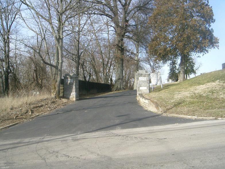
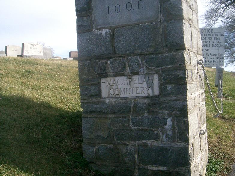
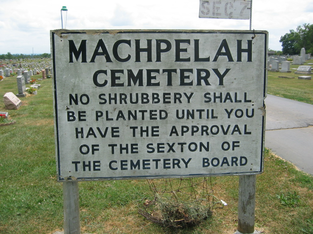
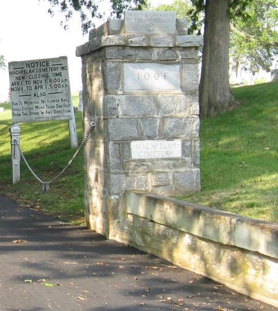
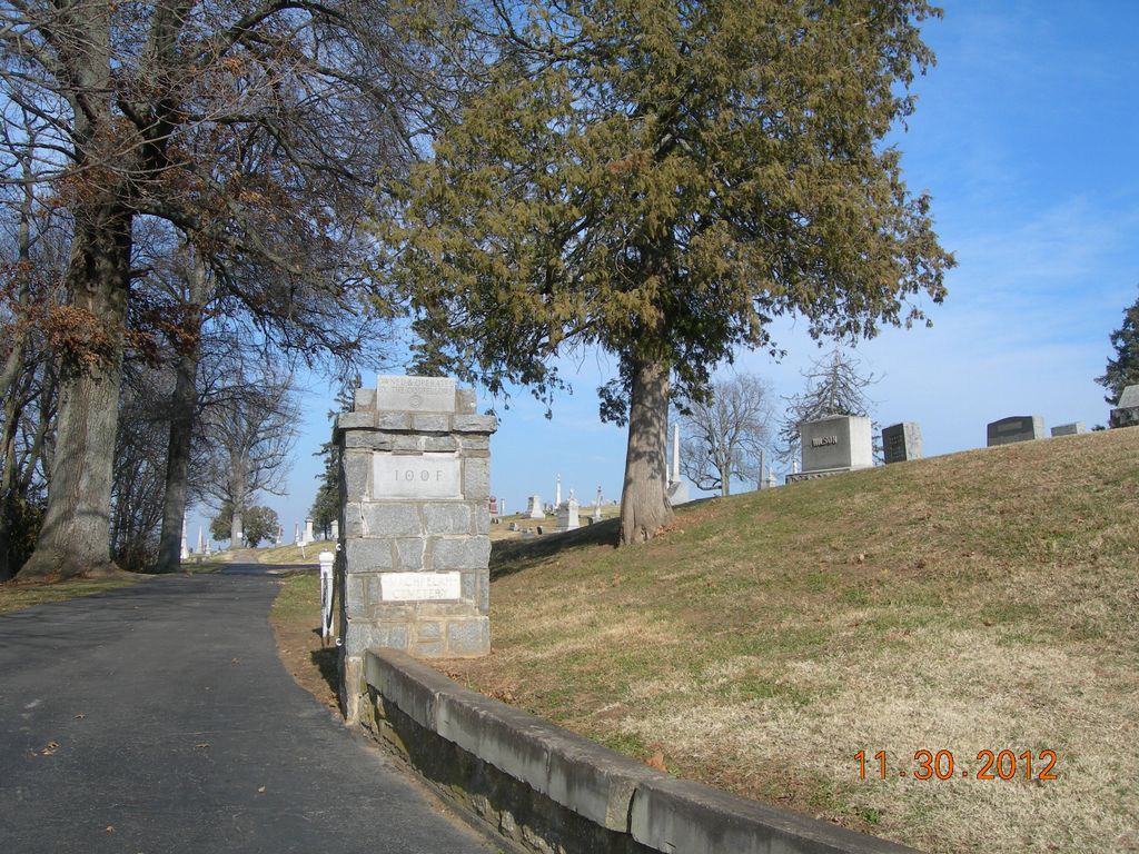
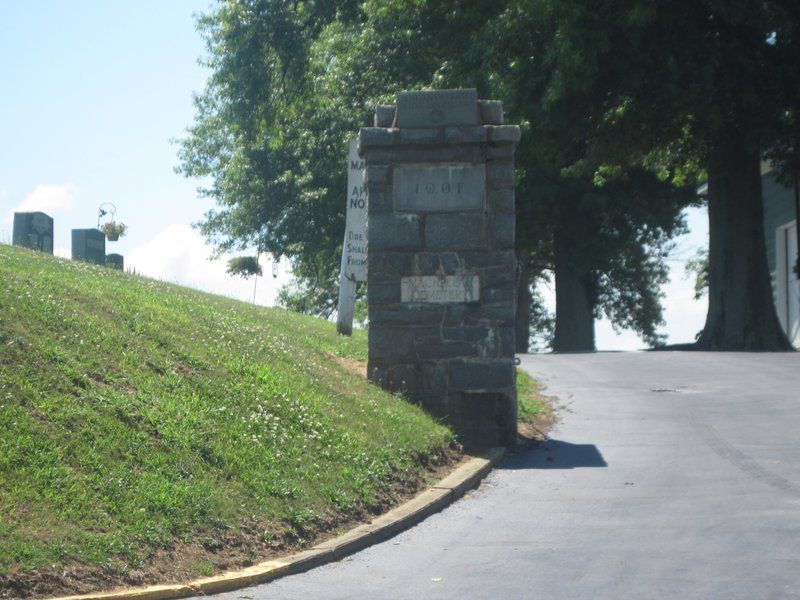
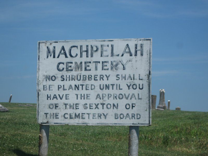
| Description | : | Was previously called Mount Sterling City Cemetery. Is now called Machpelah Cemetery. Office open M-F 8:00 - 3:00 |
frequently asked questions (FAQ):
-
Where is Machpelah Cemetery?
Machpelah Cemetery is located at 600 E. Locust St. Mount Sterling, Montgomery County ,Kentucky , 40353USA.
-
Machpelah Cemetery cemetery's updated grave count on graveviews.com?
72 memorials
-
Where are the coordinates of the Machpelah Cemetery?
Latitude: 38.0564003
Longitude: -83.9310989
Nearby Cemetories:
1. Walker Cemetery
Mount Sterling, Montgomery County, USA
Coordinate: 38.0544870, -83.9321890
2. Lincolnview Cemetery
Mount Sterling, Montgomery County, USA
Coordinate: 38.0583330, -83.9275000
3. Fairview Cemetery
Mount Sterling, Montgomery County, USA
Coordinate: 38.0588989, -83.9272003
4. Olive Hill Cemetery
Mount Sterling, Montgomery County, USA
Coordinate: 38.0593987, -83.9263992
5. Estill's Defeat Cemetery
Mount Sterling, Montgomery County, USA
Coordinate: 38.0539120, -83.9376340
6. Episcopal Church Cemetery
Mount Sterling, Montgomery County, USA
Coordinate: 38.0566670, -83.9441670
7. Magowan Cemetery
Mount Sterling, Montgomery County, USA
Coordinate: 38.0483017, -83.9178009
8. Divine and Ramey Cemetery
Mount Sterling, Montgomery County, USA
Coordinate: 38.0680560, -83.9227780
9. Love Cemetery
Montgomery County, USA
Coordinate: 38.0460590, -83.9179920
10. Daniel Cemetery
Mount Sterling, Montgomery County, USA
Coordinate: 38.0666670, -83.9452780
11. Civil War Cemetery
Montgomery County, USA
Coordinate: 38.0561110, -83.9505560
12. Hopwood Cemetery
Montgomery County, USA
Coordinate: 38.0597229, -83.9083328
13. Saint Thomas Cemetery
Mount Sterling, Montgomery County, USA
Coordinate: 38.0710983, -83.9483032
14. Chenault Cemetery
Mount Sterling, Montgomery County, USA
Coordinate: 38.0357450, -83.9220540
15. Spratt and Cockrell Family Cemetery
Mount Sterling, Montgomery County, USA
Coordinate: 38.0337100, -83.9377460
16. Lockridge Cemetery
Montgomery County, USA
Coordinate: 38.0397220, -83.8933330
17. Calk Cemetery
Mount Sterling, Montgomery County, USA
Coordinate: 38.0290670, -83.9609640
18. Ferguson Cemetery
Grassy Lick, Montgomery County, USA
Coordinate: 38.0680560, -83.9750000
19. Orear Cemetery
Montgomery County, USA
Coordinate: 38.0204210, -83.9019290
20. Orear Cemetery
Montgomery County, USA
Coordinate: 38.0238890, -83.9675000
21. Jones Cemetery
Montgomery County, USA
Coordinate: 38.0891991, -83.8822021
22. Cheatham Cemetery
Montgomery County, USA
Coordinate: 38.0194440, -83.8800000
23. Fletcher-Garrett Cemetery
Montgomery County, USA
Coordinate: 38.0128674, -83.9738331
24. Fawns Cemetery
Mount Sterling, Montgomery County, USA
Coordinate: 38.1047597, -83.9660666