
| Memorials | : | 0 |
| Location | : | Mount Sterling, Montgomery County, USA |
| Coordinate | : | 38.0337100, -83.9377460 |
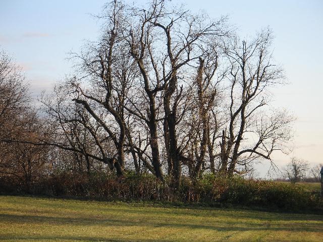
| Description | : | This family cemetery is overgrown and derelict. Many markers are broken or deteriorated. The wall surrounding the cemetery is degraded, some sections fallen. Family tradition has these individuals buried in this cemetery and those markers no doubt belong to them: George Cockrell (1863-1864, S/O S.A./G.B.), Catherine E. Garrett (11/20/1825 – 11/10/1859), Tibitha Holland (1801- 11/11/1870). Several markers remain unknown. This is private land and you must obtain permission to enter. This is posted land and trespassers will be prosecuted. |
frequently asked questions (FAQ):
-
Where is Spratt and Cockrell Family Cemetery?
Spratt and Cockrell Family Cemetery is located at Mount Sterling, Montgomery County ,Kentucky ,USA.
-
Spratt and Cockrell Family Cemetery cemetery's updated grave count on graveviews.com?
0 memorials
-
Where are the coordinates of the Spratt and Cockrell Family Cemetery?
Latitude: 38.0337100
Longitude: -83.9377460
Nearby Cemetories:
1. Chenault Cemetery
Mount Sterling, Montgomery County, USA
Coordinate: 38.0357450, -83.9220540
2. Calk Cemetery
Mount Sterling, Montgomery County, USA
Coordinate: 38.0290670, -83.9609640
3. Love Cemetery
Montgomery County, USA
Coordinate: 38.0460590, -83.9179920
4. Estill's Defeat Cemetery
Mount Sterling, Montgomery County, USA
Coordinate: 38.0539120, -83.9376340
5. Walker Cemetery
Mount Sterling, Montgomery County, USA
Coordinate: 38.0544870, -83.9321890
6. Magowan Cemetery
Mount Sterling, Montgomery County, USA
Coordinate: 38.0483017, -83.9178009
7. Machpelah Cemetery
Mount Sterling, Montgomery County, USA
Coordinate: 38.0564003, -83.9310989
8. Episcopal Church Cemetery
Mount Sterling, Montgomery County, USA
Coordinate: 38.0566670, -83.9441670
9. Civil War Cemetery
Montgomery County, USA
Coordinate: 38.0561110, -83.9505560
10. Orear Cemetery
Montgomery County, USA
Coordinate: 38.0238890, -83.9675000
11. Lincolnview Cemetery
Mount Sterling, Montgomery County, USA
Coordinate: 38.0583330, -83.9275000
12. Fairview Cemetery
Mount Sterling, Montgomery County, USA
Coordinate: 38.0588989, -83.9272003
13. Olive Hill Cemetery
Mount Sterling, Montgomery County, USA
Coordinate: 38.0593987, -83.9263992
14. Orear Cemetery
Montgomery County, USA
Coordinate: 38.0204210, -83.9019290
15. Anderson Family Cemetery
Montgomery County, USA
Coordinate: 38.0008330, -83.9455560
16. Daniel Cemetery
Mount Sterling, Montgomery County, USA
Coordinate: 38.0666670, -83.9452780
17. Hopwood Cemetery
Montgomery County, USA
Coordinate: 38.0597229, -83.9083328
18. Fletcher-Garrett Cemetery
Montgomery County, USA
Coordinate: 38.0128674, -83.9738331
19. Lockridge Cemetery
Montgomery County, USA
Coordinate: 38.0397220, -83.8933330
20. Divine and Ramey Cemetery
Mount Sterling, Montgomery County, USA
Coordinate: 38.0680560, -83.9227780
21. Saint Thomas Cemetery
Mount Sterling, Montgomery County, USA
Coordinate: 38.0710983, -83.9483032
22. Prewitt and Combs Cemetery
Prewitt, Montgomery County, USA
Coordinate: 38.0180560, -83.9861110
23. Lulbegrud Baptist Church Cemetery
Klondike, Montgomery County, USA
Coordinate: 38.0204500, -83.9892000
24. Sappington Cemetery
Camargo, Montgomery County, USA
Coordinate: 37.9925000, -83.9183330