
| Memorials | : | 19 |
| Location | : | Good Hope Township, Hocking County, USA |
| Coordinate | : | 39.5774498, -82.5608368 |
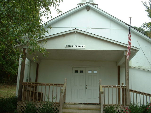
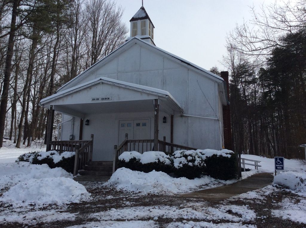
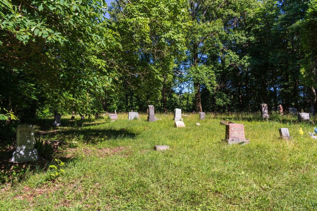
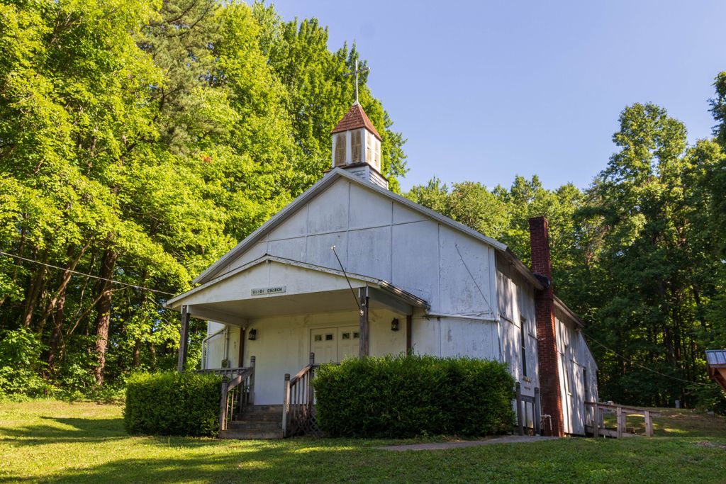
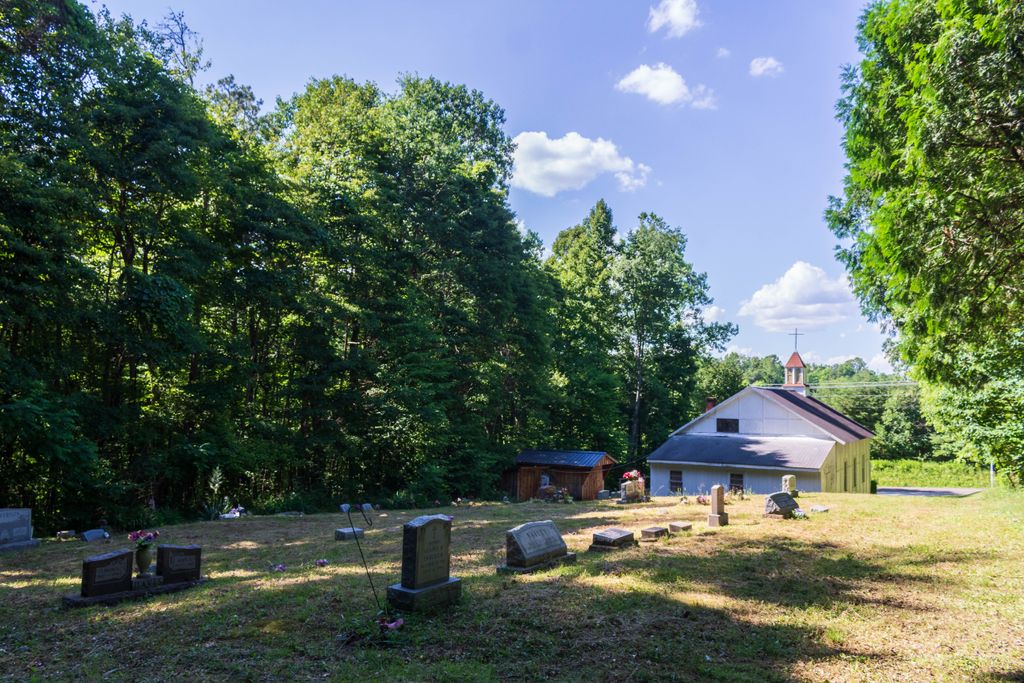
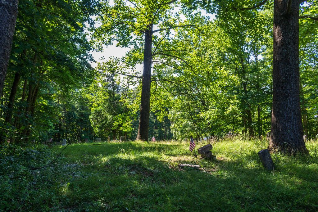
| Description | : | The cemetery is located on the south side of Buena Vista Road (County Road 34) about 0.2 mile west of its intersection with Opossum Hollow Road (Township Road 129). The cemetery is located in Good Hope Township, Hocking County, Ohio, and is # 5402 (Union Cemetery / Union Church Cemetery) in “Ohio Cemeteries 1803-2003”, compiled by the Ohio Genealogical Society. The cemetery is registered with the Ohio Division of Real Estate and Professional Licensing (ODRE) as Union Church Cemetery with registration license number CGR.0000981427. The U.S. Geological Survey (USGS) Geographic Names Information System (GNIS) feature ID for the cemetery... Read More |
frequently asked questions (FAQ):
-
Where is Union Church Cemetery?
Union Church Cemetery is located at Buena Vista Road (County Road 34) Good Hope Township, Hocking County ,Ohio , 43149USA.
-
Union Church Cemetery cemetery's updated grave count on graveviews.com?
19 memorials
-
Where are the coordinates of the Union Church Cemetery?
Latitude: 39.5774498
Longitude: -82.5608368
Nearby Cemetories:
1. Union Grove Cemetery
Rockbridge, Hocking County, USA
Coordinate: 39.5776520, -82.5558070
2. Whippoorwill Cemetery
Good Hope Township, Hocking County, USA
Coordinate: 39.5677986, -82.5430984
3. Richards Family Cemetery
Rockbridge, Hocking County, USA
Coordinate: 39.5853680, -82.5390430
4. West Pleasant Hill Cemetery
Good Hope Township, Hocking County, USA
Coordinate: 39.5499687, -82.5613708
5. Brown Cemetery
Good Hope Township, Hocking County, USA
Coordinate: 39.5647583, -82.6028824
6. Our Lady of Good Hope Catholic Cemetery
Good Hope Township, Hocking County, USA
Coordinate: 39.6036797, -82.6033020
7. Brushy Fork Cemetery
Sugar Grove, Fairfield County, USA
Coordinate: 39.6150017, -82.5871964
8. Pisgah Cemetery
Good Hope Township, Hocking County, USA
Coordinate: 39.5610199, -82.6120224
9. McBroom Cemetery
Laurel Township, Hocking County, USA
Coordinate: 39.5346985, -82.5643997
10. Sharp Cemetery
Sugar Grove, Fairfield County, USA
Coordinate: 39.6203003, -82.5535965
11. Sugar Grove Cemetery
Sugar Grove, Fairfield County, USA
Coordinate: 39.6203003, -82.5436020
12. Evangelical Lutheran Cemetery
Sugar Grove, Fairfield County, USA
Coordinate: 39.6211761, -82.5423817
13. Kline Cemetery
Good Hope Township, Hocking County, USA
Coordinate: 39.5588070, -82.5035510
14. Fairview Memorial Gardens
Rockbridge, Hocking County, USA
Coordinate: 39.5594510, -82.5028920
15. Fairview Methodist Church Cemetery
Good Hope Township, Hocking County, USA
Coordinate: 39.5592499, -82.5011902
16. Centenary Cemetery
Enterprise, Hocking County, USA
Coordinate: 39.5802994, -82.4946976
17. Hansen Cemetery
Laurel Township, Hocking County, USA
Coordinate: 39.5253340, -82.5788750
18. Stukey Cemetery
Fairfield County, USA
Coordinate: 39.6343994, -82.5558014
19. Homestead Crossing Cemetery
Rockbridge, Hocking County, USA
Coordinate: 39.5212690, -82.5891820
20. Dawley Wood Cemetery
Enterprise, Hocking County, USA
Coordinate: 39.5731670, -82.4818100
21. Trinity Sponagle Lutheran Church Cemetery
Sugar Grove, Fairfield County, USA
Coordinate: 39.6159600, -82.4993000
22. Saint John Lutheran Cemetery
Maysville, Hocking County, USA
Coordinate: 39.5314370, -82.5032140
23. Morgan Chapel Cemetery
Rockbridge, Hocking County, USA
Coordinate: 39.5542908, -82.6383438
24. Antioch Cemetery
Enterprise, Hocking County, USA
Coordinate: 39.5573300, -82.4799700