
| Memorials | : | 3 |
| Location | : | Smithfield, Jefferson County, USA |
| Coordinate | : | 40.3050688, -80.7809165 |
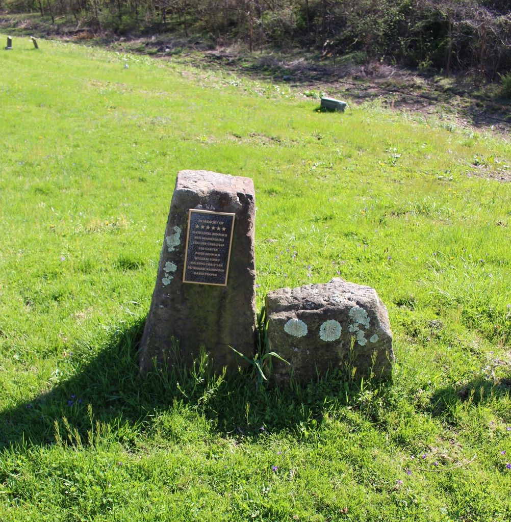
| Description | : | The cemetery is located on the west side of McIntyre Road (Township Road 191) about 600 feet south of its intersection with Township Road 193. The cemetery is located in Wayne Township, Jefferson County, Ohio, and is # 6115 (African American Cemetery / McIntyre African Methodist Episcopal Cemetery) in “Ohio Cemeteries 1803-2003”, compiled by the Ohio Genealogical Society. The U.S. Geological Survey (USGS) Geographic Names Information System (GNIS) feature ID for the cemetery is 1981697 (McIntyre African Methodist Episcopal Cemetery). |
frequently asked questions (FAQ):
-
Where is McIntyre African Methodist Episcopal Cemetery?
McIntyre African Methodist Episcopal Cemetery is located at 1240 McIntyre Road (Township Road 191) Smithfield, Jefferson County ,Ohio , 43910USA.
-
McIntyre African Methodist Episcopal Cemetery cemetery's updated grave count on graveviews.com?
3 memorials
-
Where are the coordinates of the McIntyre African Methodist Episcopal Cemetery?
Latitude: 40.3050688
Longitude: -80.7809165
Nearby Cemetories:
1. Shaffer Chapel McIntyre AME Church Cemetery
Bloomingdale, Jefferson County, USA
Coordinate: 40.3050688, -80.7809165
2. Saint James Episcopal Cemetery
Cross Creek Township, Jefferson County, USA
Coordinate: 40.3211700, -80.7563400
3. Mount Moriah Cemetery
Bloomingdale, Jefferson County, USA
Coordinate: 40.3047640, -80.8137800
4. Northern Cemetery
Smithfield, Jefferson County, USA
Coordinate: 40.2736805, -80.7817502
5. Longs Methodist Episcopal Cemetery
Jefferson County, USA
Coordinate: 40.3203400, -80.7400100
6. Smithfield Quaker Cemetery
Smithfield, Jefferson County, USA
Coordinate: 40.2670010, -80.7844370
7. Bloomingdale Cemetery
Bloomingdale, Jefferson County, USA
Coordinate: 40.3418110, -80.8134230
8. Tent Church Cemetery
New Alexandria, Jefferson County, USA
Coordinate: 40.2832985, -80.7202988
9. Oliver Cemetery
Wells Township, Jefferson County, USA
Coordinate: 40.2644005, -80.7217026
10. Wheeler Cemetery
Smithfield, Jefferson County, USA
Coordinate: 40.2453003, -80.7996979
11. Ferguson Cemetery
Hopedale, Harrison County, USA
Coordinate: 40.3311005, -80.8741989
12. New Alexandria Cemetery
New Alexandria, Jefferson County, USA
Coordinate: 40.2949982, -80.6781006
13. Pine Run Cemetery
Unionport, Jefferson County, USA
Coordinate: 40.3703003, -80.8407974
14. Unionport Cemetery
Unionport, Jefferson County, USA
Coordinate: 40.3650440, -80.8496090
15. Queen of All Saints Cemetery
Bloomingdale, Jefferson County, USA
Coordinate: 40.3841050, -80.8094450
16. Cross Creek Cemetery
Wintersville, Jefferson County, USA
Coordinate: 40.3492928, -80.6872635
17. Holy Family Hermitage Cemetery
Bloomingdale, Jefferson County, USA
Coordinate: 40.3840650, -80.8243020
18. Beech Spring Cemetery
Hopedale, Harrison County, USA
Coordinate: 40.2933006, -80.8936005
19. Wintersville United Methodist Church Cemetery
Wintersville, Jefferson County, USA
Coordinate: 40.3755360, -80.7064440
20. Hopedale Cemetery
Hopedale, Harrison County, USA
Coordinate: 40.3189011, -80.8989029
21. Buckingham Cemetery
Wells Township, Jefferson County, USA
Coordinate: 40.2739230, -80.6662180
22. Rehoboth Cemetery
Smithfield Township, Jefferson County, USA
Coordinate: 40.2336006, -80.8593979
23. Wheeler Cemetery
Hopedale, Harrison County, USA
Coordinate: 40.3632420, -80.8786110
24. Fort Steuben Burial Estates
Wintersville, Jefferson County, USA
Coordinate: 40.3891983, -80.7236023