
| Memorials | : | 21 |
| Location | : | Smithfield, Jefferson County, USA |
| Coordinate | : | 40.2670010, -80.7844370 |
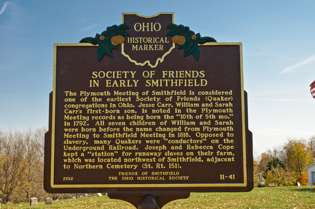
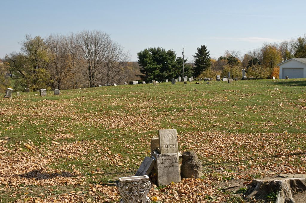
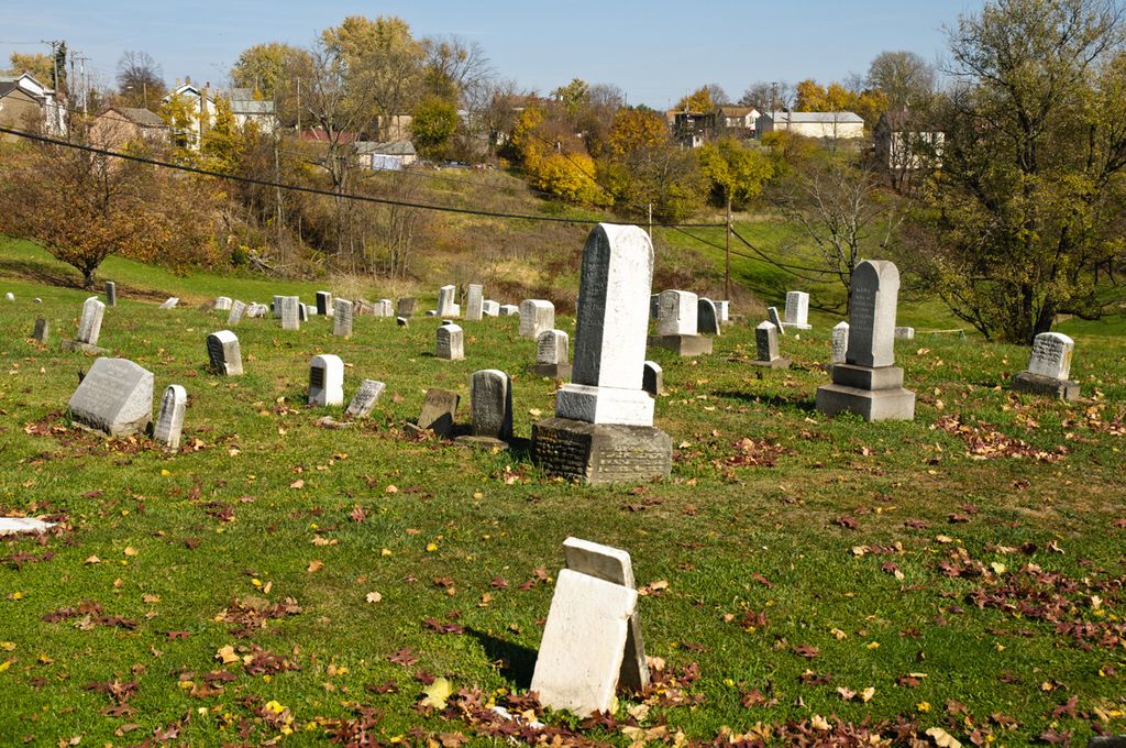
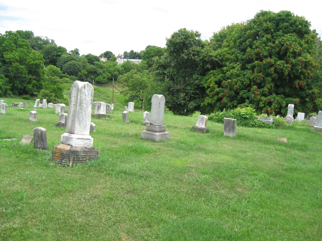
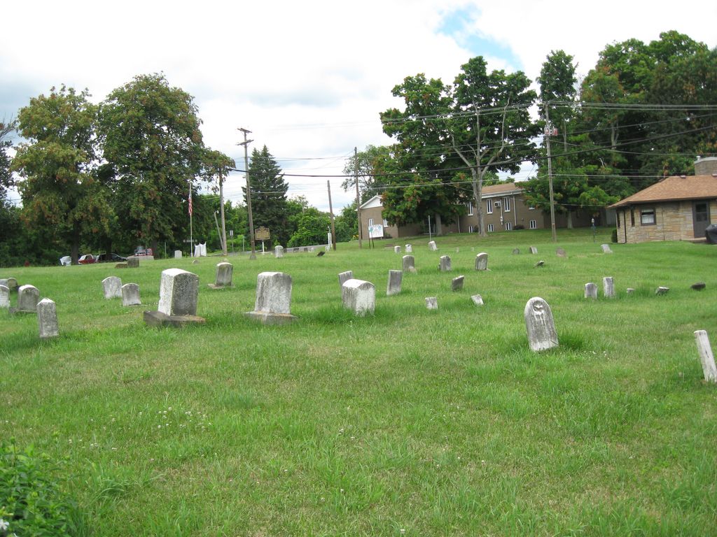
| Description | : | The cemetery is located on the southeast side of Main Street (Ohio State Route 152) at its intersection with Maple Avenue and with Stadium Avenue as its southern boundary. The cemetery is located in Smithfield Township, Jefferson County, Ohio, and is # 6080 (Friends Cemetery / Smithfield Quaker Cemetery) in “Ohio Cemeteries 1803-2003”, compiled by the Ohio Genealogical Society. |
frequently asked questions (FAQ):
-
Where is Smithfield Quaker Cemetery?
Smithfield Quaker Cemetery is located at Main Street and Maple Avenue Smithfield, Jefferson County ,Ohio , 43938USA.
-
Smithfield Quaker Cemetery cemetery's updated grave count on graveviews.com?
21 memorials
-
Where are the coordinates of the Smithfield Quaker Cemetery?
Latitude: 40.2670010
Longitude: -80.7844370

Nearby Cemetories:
1. Northern Cemetery
Smithfield, Jefferson County, USA
Coordinate: 40.2736805, -80.7817502
2. Wheeler Cemetery
Smithfield, Jefferson County, USA
Coordinate: 40.2453003, -80.7996979
3. Shaffer Chapel McIntyre AME Church Cemetery
Bloomingdale, Jefferson County, USA
Coordinate: 40.3050688, -80.7809165
4. McIntyre African Methodist Episcopal Cemetery
Smithfield, Jefferson County, USA
Coordinate: 40.3050688, -80.7809165
5. Mount Moriah Cemetery
Bloomingdale, Jefferson County, USA
Coordinate: 40.3047640, -80.8137800
6. Oliver Cemetery
Wells Township, Jefferson County, USA
Coordinate: 40.2644005, -80.7217026
7. Tent Church Cemetery
New Alexandria, Jefferson County, USA
Coordinate: 40.2832985, -80.7202988
8. Saint James Episcopal Cemetery
Cross Creek Township, Jefferson County, USA
Coordinate: 40.3211700, -80.7563400
9. Longs Methodist Episcopal Cemetery
Jefferson County, USA
Coordinate: 40.3203400, -80.7400100
10. Rehoboth Cemetery
Smithfield Township, Jefferson County, USA
Coordinate: 40.2336006, -80.8593979
11. Saint Adalbert Cemetery
Warren Township, Jefferson County, USA
Coordinate: 40.2033005, -80.7518997
12. Hopewell Methodist Cemetery
Warren Township, Jefferson County, USA
Coordinate: 40.2236824, -80.7117462
13. Holmes Pioneer Cemetery
Adena, Jefferson County, USA
Coordinate: 40.2182999, -80.8527985
14. Saint Casimirs Roman Catholic Church Cemetery
Smithfield, Jefferson County, USA
Coordinate: 40.2131004, -80.8510971
15. Bayless Cemetery
Rayland, Jefferson County, USA
Coordinate: 40.2122930, -80.7123024
16. Bloomingdale Cemetery
Bloomingdale, Jefferson County, USA
Coordinate: 40.3418110, -80.8134230
17. Adena Presbyterian Church Cemetery
Smithfield, Jefferson County, USA
Coordinate: 40.2161805, -80.8742561
18. New Alexandria Cemetery
New Alexandria, Jefferson County, USA
Coordinate: 40.2949982, -80.6781006
19. Beech Spring Cemetery
Hopedale, Harrison County, USA
Coordinate: 40.2933006, -80.8936005
20. Short Creek Cemetery
Bergholz, Jefferson County, USA
Coordinate: 40.1817017, -80.8116989
21. Highland Cemetery
Mount Pleasant, Jefferson County, USA
Coordinate: 40.1785580, -80.7966240
22. Short Creek Cemetery
Mount Pleasant, Jefferson County, USA
Coordinate: 40.1802000, -80.8124400
23. Buckingham Cemetery
Wells Township, Jefferson County, USA
Coordinate: 40.2739230, -80.6662180
24. Oak Grove Cemetery
Mount Pleasant, Jefferson County, USA
Coordinate: 40.1769060, -80.7655010