
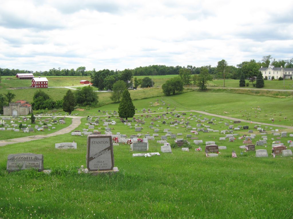
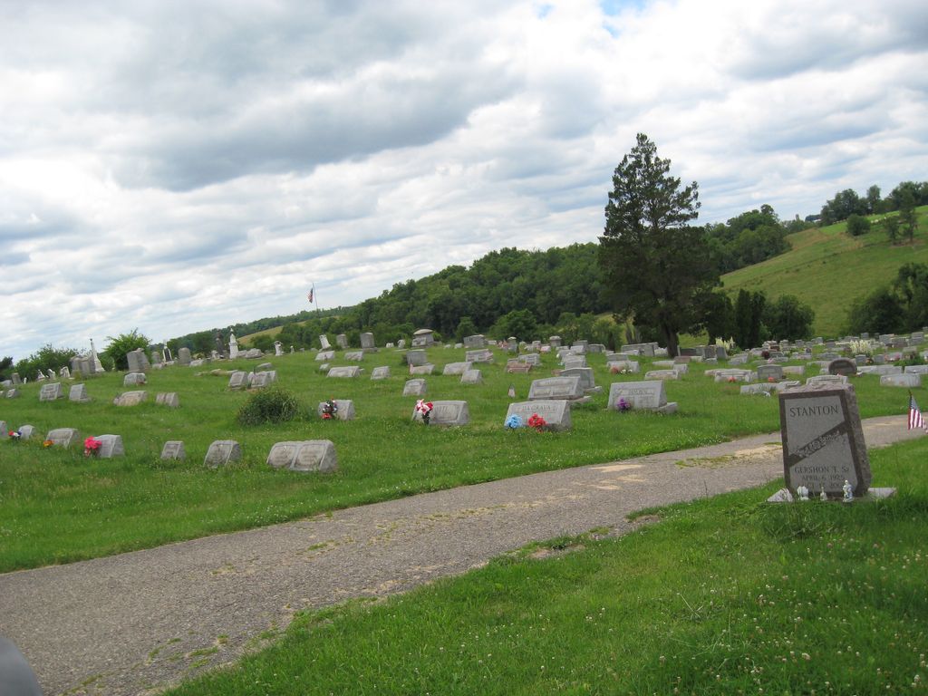
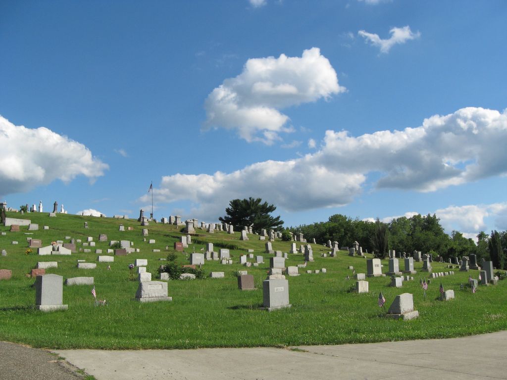
| Memorials | : | 131 |
| Location | : | Smithfield, Jefferson County, USA |
| Coordinate | : | 40.2736805, -80.7817502 |
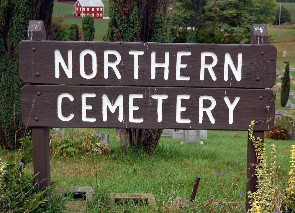
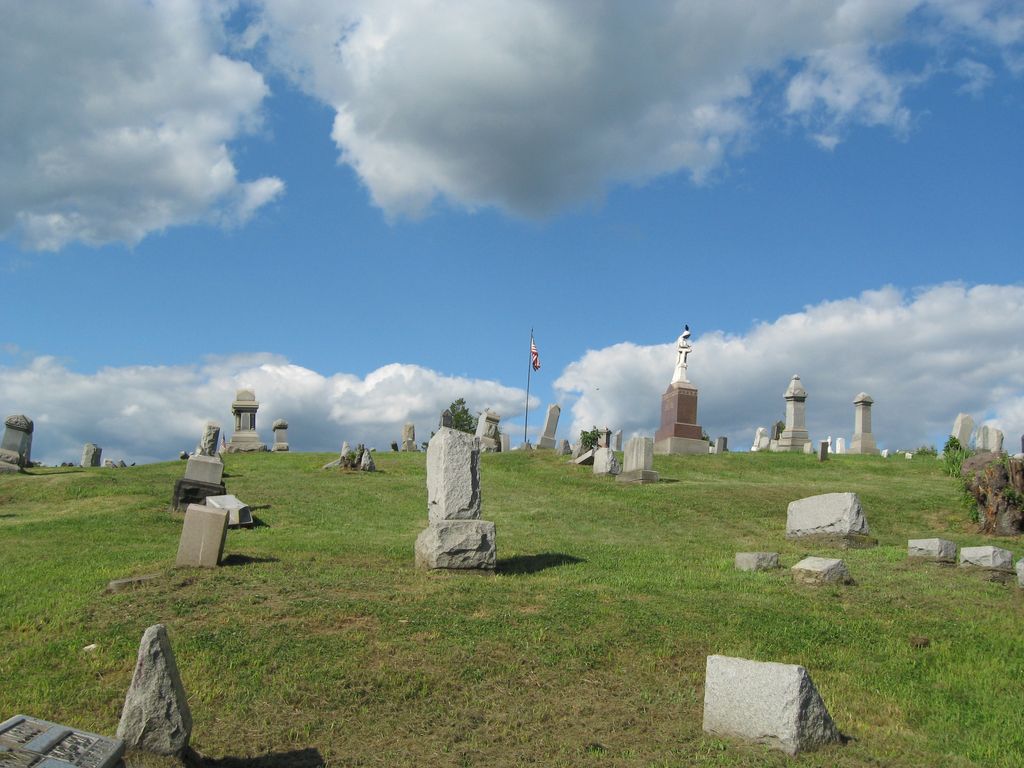
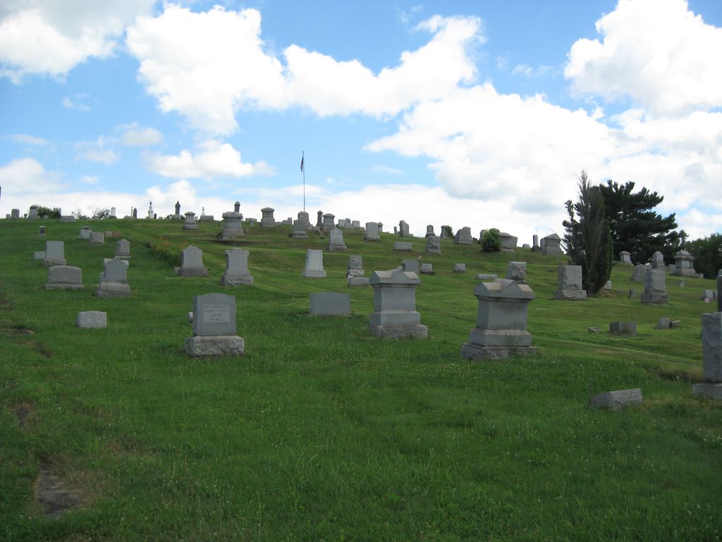
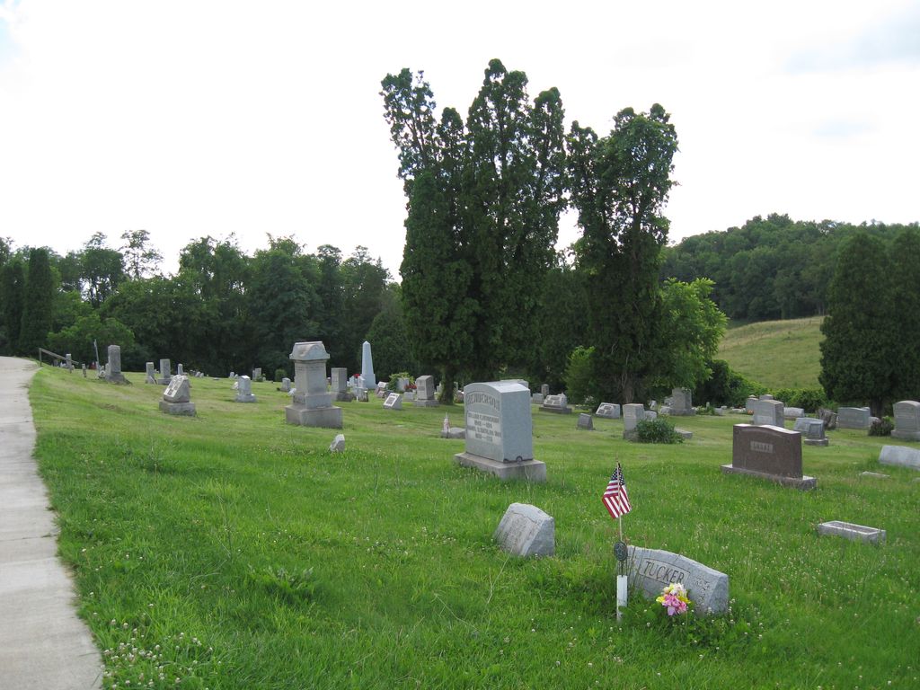
| Description | : | The cemetery is located in the north end of the village of Smithfield northwest of West Street and south of Wood Street (Ohio State Route 151). The cemetery is located in Smithfield Township, Jefferson County, Ohio, and is # 6082 (Northern Cemetery / Smithfield Cemetery) in “Ohio Cemeteries 1803-2003”, compiled by the Ohio Genealogical Society. The cemetery is registered with the Ohio Division of Real Estate and Professional Licensing (ODRE) as Northern Cemetery with registration license number CGR.2014003589. The U.S. Geological Survey (USGS) Geographic Names Information System (GNIS) feature ID for the cemetery is 1961707 (Northern Cemetery /... Read More |
frequently asked questions (FAQ):
-
Where is Northern Cemetery?
Northern Cemetery is located at Wood Street Smithfield, Jefferson County ,Ohio , 43917USA.
-
Northern Cemetery cemetery's updated grave count on graveviews.com?
121 memorials
-
Where are the coordinates of the Northern Cemetery?
Latitude: 40.2736805
Longitude: -80.7817502
Nearby Cemetories:
1. Smithfield Quaker Cemetery
Smithfield, Jefferson County, USA
Coordinate: 40.2670010, -80.7844370
2. Shaffer Chapel McIntyre AME Church Cemetery
Bloomingdale, Jefferson County, USA
Coordinate: 40.3050688, -80.7809165
3. McIntyre African Methodist Episcopal Cemetery
Smithfield, Jefferson County, USA
Coordinate: 40.3050688, -80.7809165
4. Wheeler Cemetery
Smithfield, Jefferson County, USA
Coordinate: 40.2453003, -80.7996979
5. Mount Moriah Cemetery
Bloomingdale, Jefferson County, USA
Coordinate: 40.3047640, -80.8137800
6. Oliver Cemetery
Wells Township, Jefferson County, USA
Coordinate: 40.2644005, -80.7217026
7. Tent Church Cemetery
New Alexandria, Jefferson County, USA
Coordinate: 40.2832985, -80.7202988
8. Saint James Episcopal Cemetery
Cross Creek Township, Jefferson County, USA
Coordinate: 40.3211700, -80.7563400
9. Longs Methodist Episcopal Cemetery
Jefferson County, USA
Coordinate: 40.3203400, -80.7400100
10. Rehoboth Cemetery
Smithfield Township, Jefferson County, USA
Coordinate: 40.2336006, -80.8593979
11. Bloomingdale Cemetery
Bloomingdale, Jefferson County, USA
Coordinate: 40.3418110, -80.8134230
12. Hopewell Methodist Cemetery
Warren Township, Jefferson County, USA
Coordinate: 40.2236824, -80.7117462
13. Saint Adalbert Cemetery
Warren Township, Jefferson County, USA
Coordinate: 40.2033005, -80.7518997
14. Holmes Pioneer Cemetery
Adena, Jefferson County, USA
Coordinate: 40.2182999, -80.8527985
15. Saint Casimirs Roman Catholic Church Cemetery
Smithfield, Jefferson County, USA
Coordinate: 40.2131004, -80.8510971
16. Bayless Cemetery
Rayland, Jefferson County, USA
Coordinate: 40.2122930, -80.7123024
17. New Alexandria Cemetery
New Alexandria, Jefferson County, USA
Coordinate: 40.2949982, -80.6781006
18. Beech Spring Cemetery
Hopedale, Harrison County, USA
Coordinate: 40.2933006, -80.8936005
19. Buckingham Cemetery
Wells Township, Jefferson County, USA
Coordinate: 40.2739230, -80.6662180
20. Ferguson Cemetery
Hopedale, Harrison County, USA
Coordinate: 40.3311005, -80.8741989
21. Adena Presbyterian Church Cemetery
Smithfield, Jefferson County, USA
Coordinate: 40.2161805, -80.8742561
22. Everson Family Cemetery
Salt Run, Jefferson County, USA
Coordinate: 40.2492340, -80.6633810
23. Short Creek Cemetery
Bergholz, Jefferson County, USA
Coordinate: 40.1817017, -80.8116989
24. Highland Cemetery
Mount Pleasant, Jefferson County, USA
Coordinate: 40.1785580, -80.7966240