
| Memorials | : | 0 |
| Location | : | Melbourn, South Cambridgeshire District, England |
| Coordinate | : | 52.0811610, 0.0165870 |
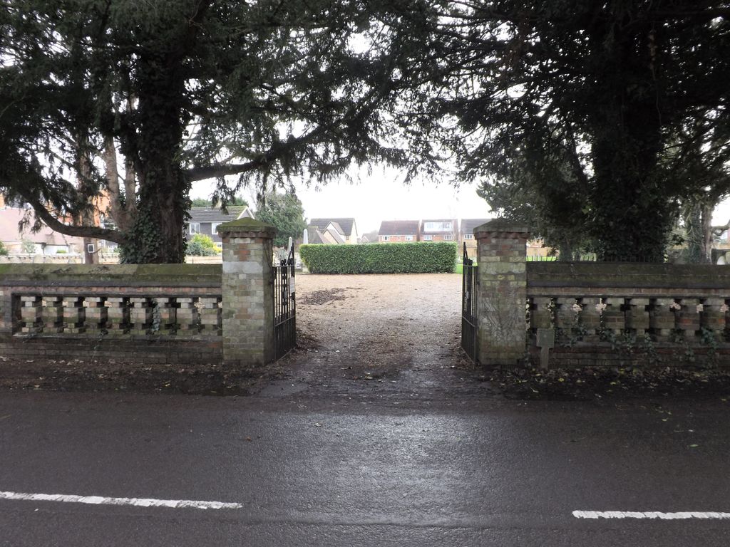
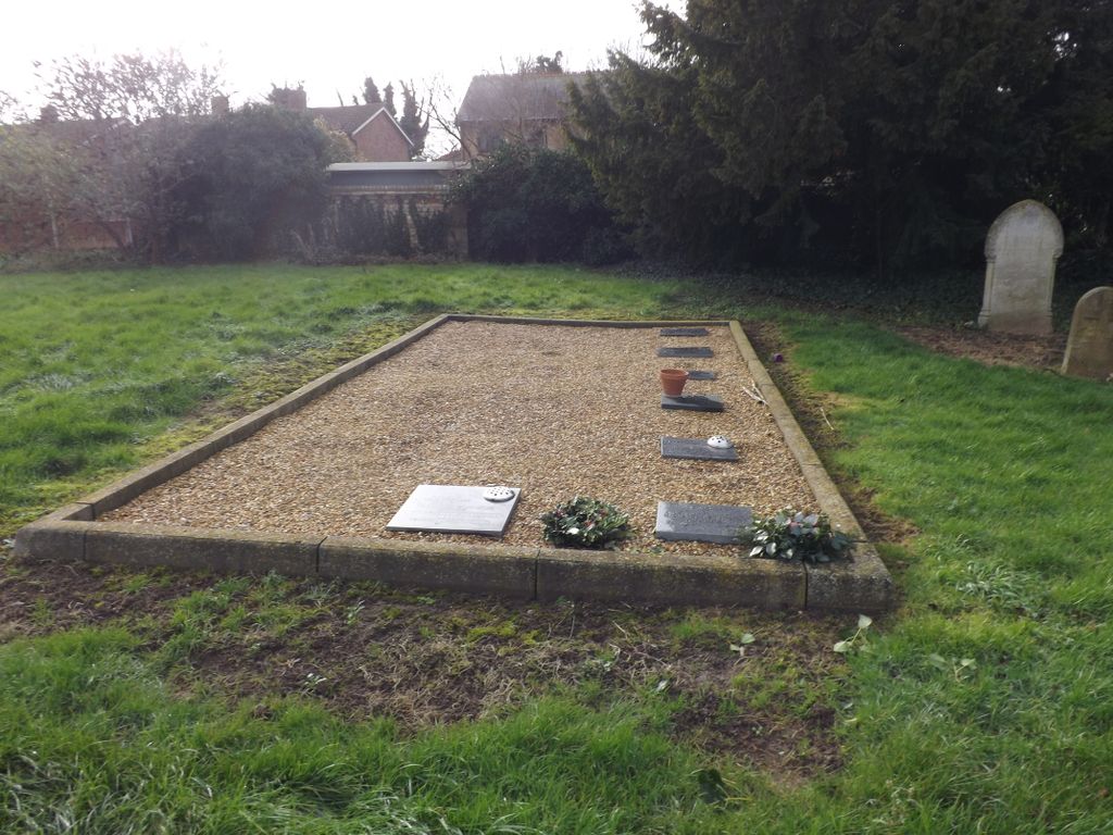
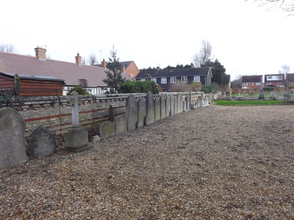
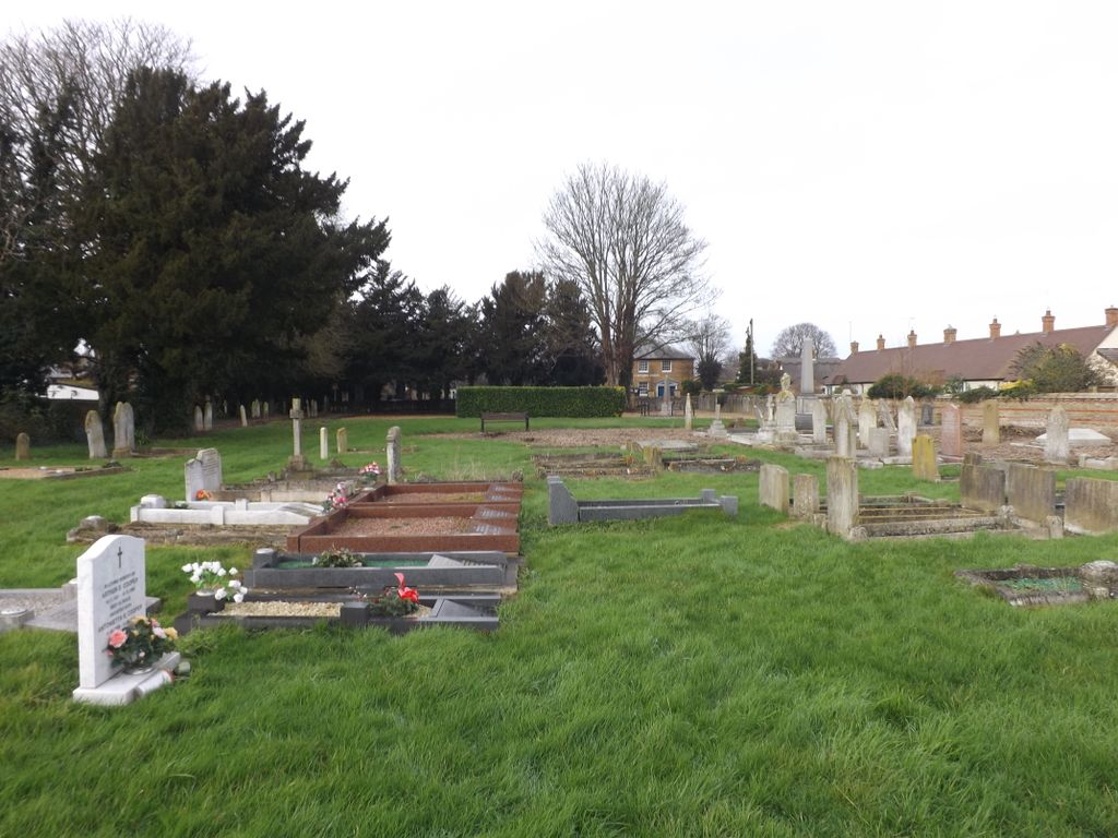
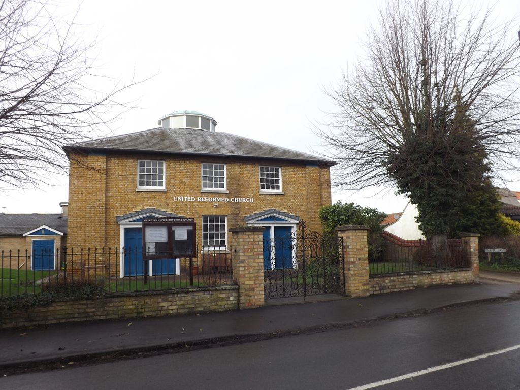
| Description | : | Melbourn is a large village in the far south west of Cambridgeshire, England. It is located next to the A10 just north of Royston. Melbourn has Royston, Hertfordshire post codes. The name Melbourn comes from Meldeburn, the "stream of a man named Melde" There are three places of worship-Anglican, Baptist and URC. There is also a Methodist churchyard with graves. The URC Chapelyard is actually in three parts-there are burials in the grounds of the chapel and there is a smaller plot, rather unkempt,on the same side of the road across Meeting Lane, but the largest burial ground is opposite the Chapel. The following... Read More |
frequently asked questions (FAQ):
-
Where is Melbourn United Reformed Churchyard?
Melbourn United Reformed Churchyard is located at Orchard Road Melbourn, South Cambridgeshire District ,Cambridgeshire , SG8 6BPEngland.
-
Melbourn United Reformed Churchyard cemetery's updated grave count on graveviews.com?
0 memorials
-
Where are the coordinates of the Melbourn United Reformed Churchyard?
Latitude: 52.0811610
Longitude: 0.0165870
Nearby Cemetories:
1. Melbourn Burial Ground
Melbourn, South Cambridgeshire District, England
Coordinate: 52.0834230, 0.0202940
2. Holy Trinity Churchyard
Meldreth, South Cambridgeshire District, England
Coordinate: 52.1024700, 0.0101600
3. All Saints Churchyard
Shepreth, South Cambridgeshire District, England
Coordinate: 52.1081000, 0.0323800
4. Fowlmere Cemetery
Fowlmere, South Cambridgeshire District, England
Coordinate: 52.0989000, 0.0613500
5. Church of St. Mary The Virgin Cemetery
Whaddon, South Cambridgeshire District, England
Coordinate: 52.1012000, -0.0311000
6. THE CHURCH OF ST MARY THE VIRGIN
Whaddon, South Cambridgeshire District, England
Coordinate: 52.1012000, -0.0311000
7. Fowlmere United Reformed Churchyard
Fowlmere, South Cambridgeshire District, England
Coordinate: 52.0902000, 0.0734000
8. Royston Cemetery
Royston, North Hertfordshire District, England
Coordinate: 52.0522860, -0.0190440
9. St Mary Churchyard
Fowlmere, South Cambridgeshire District, England
Coordinate: 52.0933800, 0.0750800
10. Bassingbourn-cum-Kneesworth Cemetery
Bassingbourn-cum-Kneesworth, South Cambridgeshire District, England
Coordinate: 52.0802380, -0.0488110
11. St John the Baptist Churchyard
Royston, North Hertfordshire District, England
Coordinate: 52.0478410, -0.0218200
12. St. Peter and St. Paul Churchyard
Bassingbourn, South Cambridgeshire District, England
Coordinate: 52.0789460, -0.0598880
13. All Saints Churchyard
Barrington, South Cambridgeshire District, England
Coordinate: 52.1302100, 0.0388300
14. St. Margaret of Antioch Churchyard
Barley, North Hertfordshire District, England
Coordinate: 52.0264390, 0.0416390
15. St George Churchyard
Thriplow, South Cambridgeshire District, England
Coordinate: 52.1021560, 0.1040390
16. Holy Trinity Churchyard
Heydon, South Cambridgeshire District, England
Coordinate: 52.0399400, 0.0868500
17. All Saints Churchyard
Wendy, South Cambridgeshire District, England
Coordinate: 52.1110400, -0.0703100
18. St Swithin Churchyard
Great Chishill, South Cambridgeshire District, England
Coordinate: 52.0300090, 0.0715990
19. All Saints Churchyard
Harston, South Cambridgeshire District, England
Coordinate: 52.1388620, 0.0707670
20. St. Margaret Churchyard
Newton, South Cambridgeshire District, England
Coordinate: 52.1242580, 0.1005080
21. Harston Burial Ground
Harston, South Cambridgeshire District, England
Coordinate: 52.1403600, 0.0723652
22. St Michael and All Angels Churchyard
Abington Pigotts, South Cambridgeshire District, England
Coordinate: 52.0849450, -0.0976970
23. All Saints Churchyard
Haslingfield, South Cambridgeshire District, England
Coordinate: 52.1497600, 0.0504370
24. St Nicholas Churchyard
Little Chishill, South Cambridgeshire District, England
Coordinate: 52.0154690, 0.0654890