
| Memorials | : | 0 |
| Location | : | Royston, North Hertfordshire District, England |
| Coordinate | : | 52.0522860, -0.0190440 |
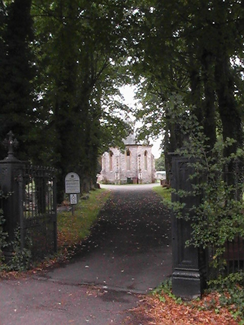
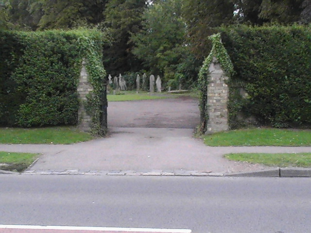
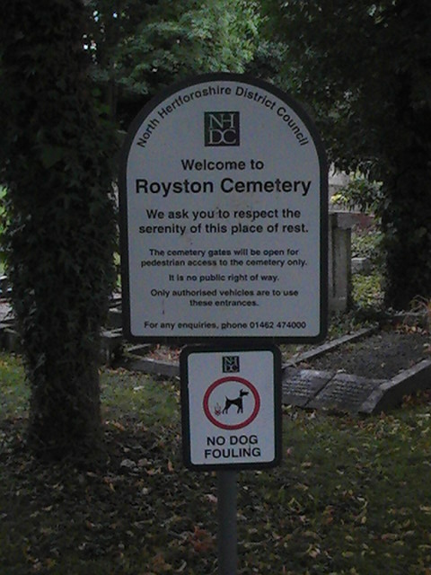
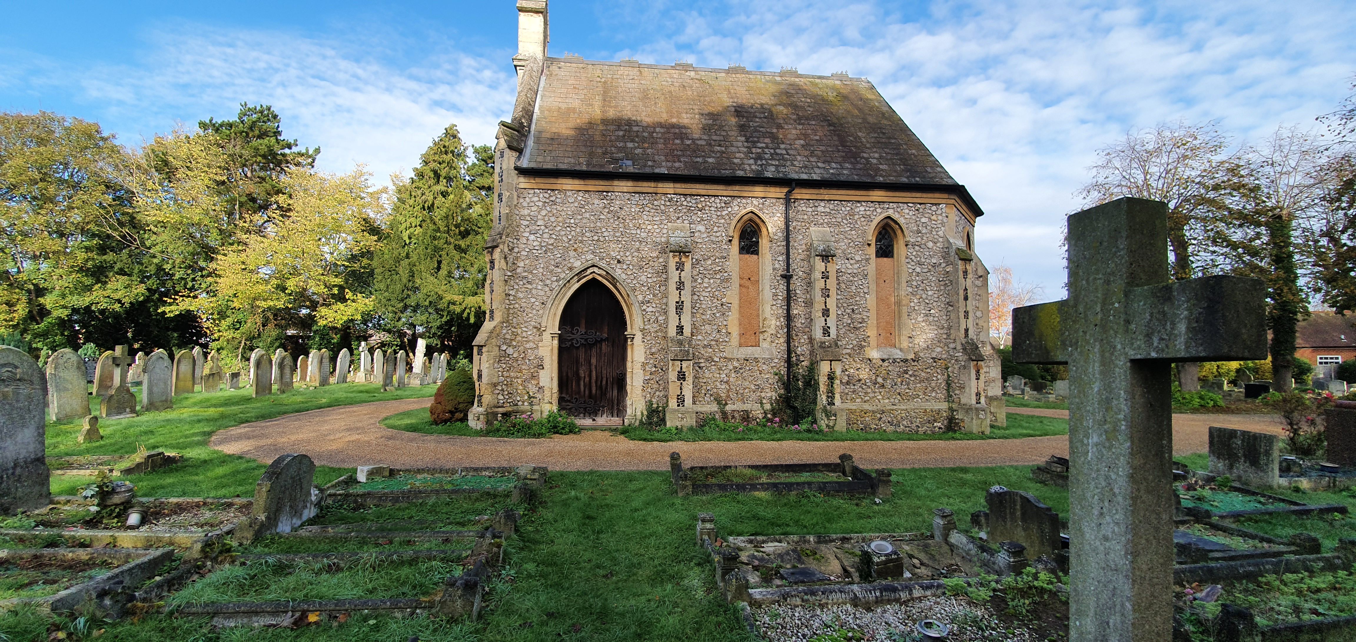
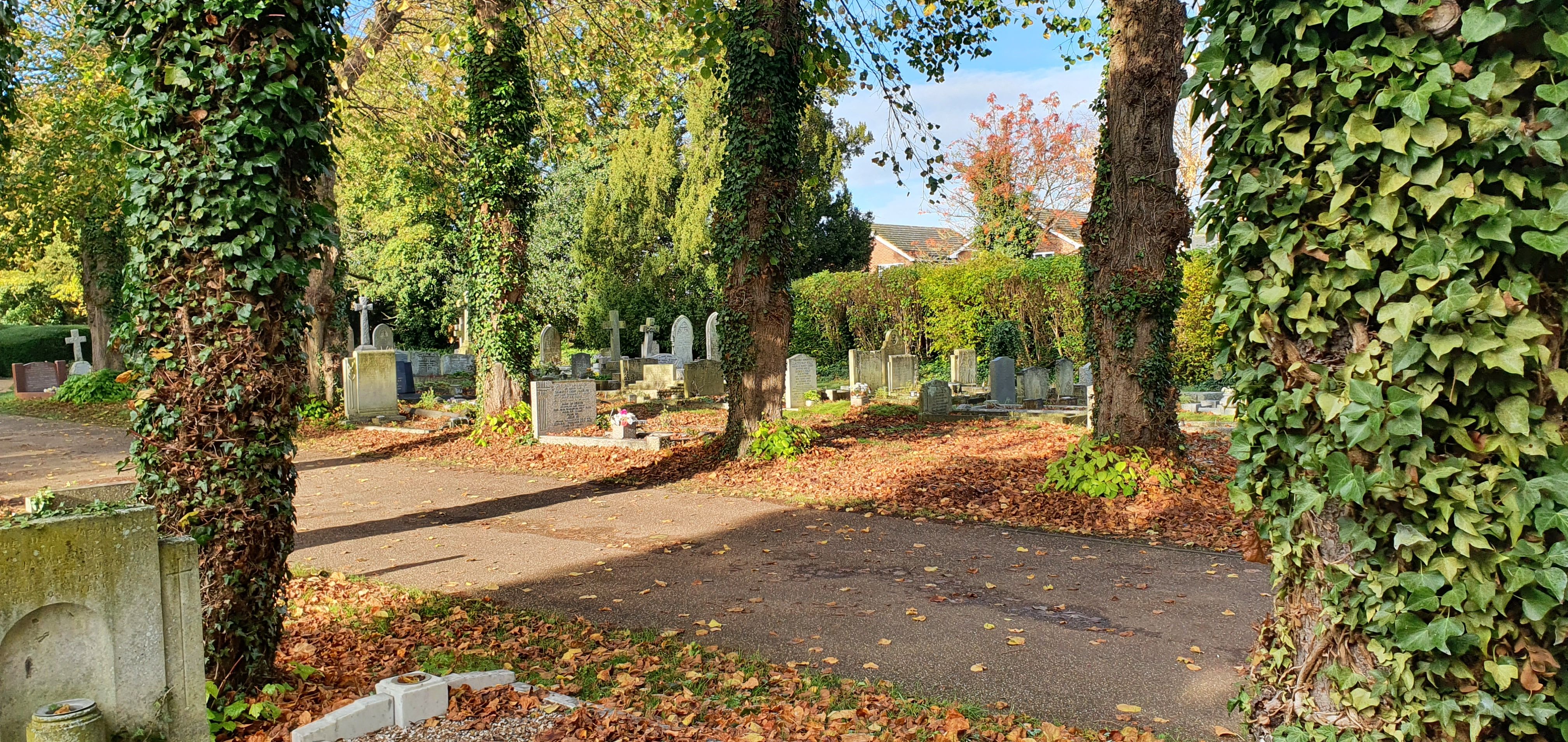
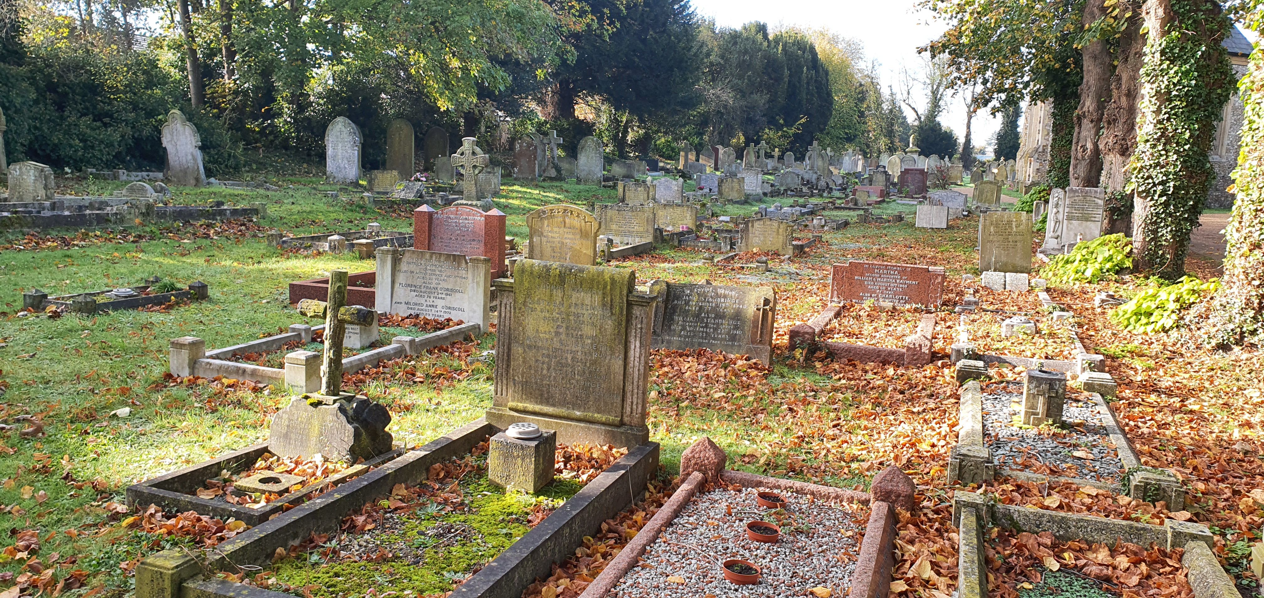
| Description | : | Melbourn Road Cemetery (Royston Cemetery East) is situated north of Royston Football Club. Stamford Avenue Cemetery (Royston Cemetery West) was built as an extension to Melbourn Road Cemetery and lies west of the road with a disused chapel on the site. The older part of the cemetery containing the boarded-up chapel is the responsibility of St John's Church for interments and the church holds the records. |
frequently asked questions (FAQ):
-
Where is Royston Cemetery?
Royston Cemetery is located at Melbourn Road Royston, North Hertfordshire District ,Hertfordshire , SG8 7DEEngland.
-
Royston Cemetery cemetery's updated grave count on graveviews.com?
0 memorials
-
Where are the coordinates of the Royston Cemetery?
Latitude: 52.0522860
Longitude: -0.0190440
Nearby Cemetories:
1. St John the Baptist Churchyard
Royston, North Hertfordshire District, England
Coordinate: 52.0478410, -0.0218200
2. Bassingbourn-cum-Kneesworth Cemetery
Bassingbourn-cum-Kneesworth, South Cambridgeshire District, England
Coordinate: 52.0802380, -0.0488110
3. Melbourn United Reformed Churchyard
Melbourn, South Cambridgeshire District, England
Coordinate: 52.0811610, 0.0165870
4. St. Peter and St. Paul Churchyard
Bassingbourn, South Cambridgeshire District, England
Coordinate: 52.0789460, -0.0598880
5. Melbourn Burial Ground
Melbourn, South Cambridgeshire District, England
Coordinate: 52.0834230, 0.0202940
6. St Mary the Virgin Churchyard
Therfield, North Hertfordshire District, England
Coordinate: 52.0162060, -0.0568230
7. St. Margaret of Antioch Churchyard
Barley, North Hertfordshire District, England
Coordinate: 52.0264390, 0.0416390
8. St Mary Churchyard
Reed, North Hertfordshire District, England
Coordinate: 52.0034714, -0.0183250
9. Church of St. Mary The Virgin Cemetery
Whaddon, South Cambridgeshire District, England
Coordinate: 52.1012000, -0.0311000
10. THE CHURCH OF ST MARY THE VIRGIN
Whaddon, South Cambridgeshire District, England
Coordinate: 52.1012000, -0.0311000
11. Barkway Chapel Cemetery
Barkway, North Hertfordshire District, England
Coordinate: 52.0047910, 0.0151040
12. St Faiths Churchyard
Kelshall, North Hertfordshire District, England
Coordinate: 52.0084230, -0.0656070
13. Holy Trinity Churchyard
Meldreth, South Cambridgeshire District, England
Coordinate: 52.1024700, 0.0101600
14. St Mary Magdalene Churchyard
Barkway, North Hertfordshire District, England
Coordinate: 52.0015793, 0.0129600
15. St Michael and All Angels Churchyard
Abington Pigotts, South Cambridgeshire District, England
Coordinate: 52.0849450, -0.0976970
16. St Swithin Churchyard
Great Chishill, South Cambridgeshire District, England
Coordinate: 52.0300090, 0.0715990
17. St Nicholas Churchyard
Little Chishill, South Cambridgeshire District, England
Coordinate: 52.0154690, 0.0654890
18. All Saints Churchyard
Shepreth, South Cambridgeshire District, England
Coordinate: 52.1081000, 0.0323800
19. St Andrew Churchyard
Buckland, East Hertfordshire District, England
Coordinate: 51.9866510, -0.0230880
20. Holy Trinity Churchyard
Heydon, South Cambridgeshire District, England
Coordinate: 52.0399400, 0.0868500
21. All Saints Churchyard
Wendy, South Cambridgeshire District, England
Coordinate: 52.1110400, -0.0703100
22. St Peter and St Paul
Steeple Morden, South Cambridgeshire District, England
Coordinate: 52.0655979, -0.1257247
23. Fowlmere Cemetery
Fowlmere, South Cambridgeshire District, England
Coordinate: 52.0989000, 0.0613500
24. Fowlmere United Reformed Churchyard
Fowlmere, South Cambridgeshire District, England
Coordinate: 52.0902000, 0.0734000