
| Memorials | : | 0 |
| Location | : | Middle Claydon, Aylesbury Vale District, England |
| Coordinate | : | 51.9264680, -0.9504380 |
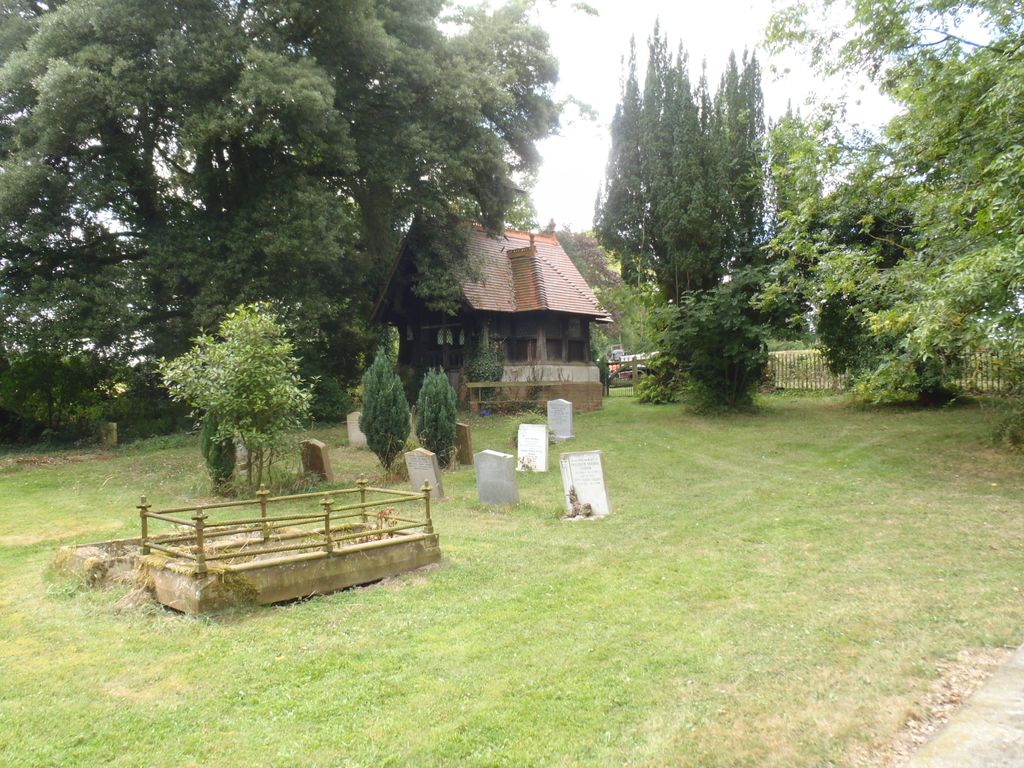
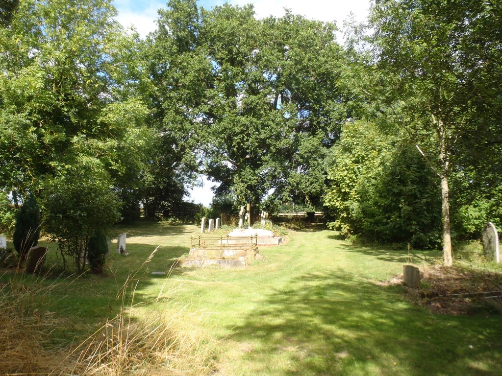
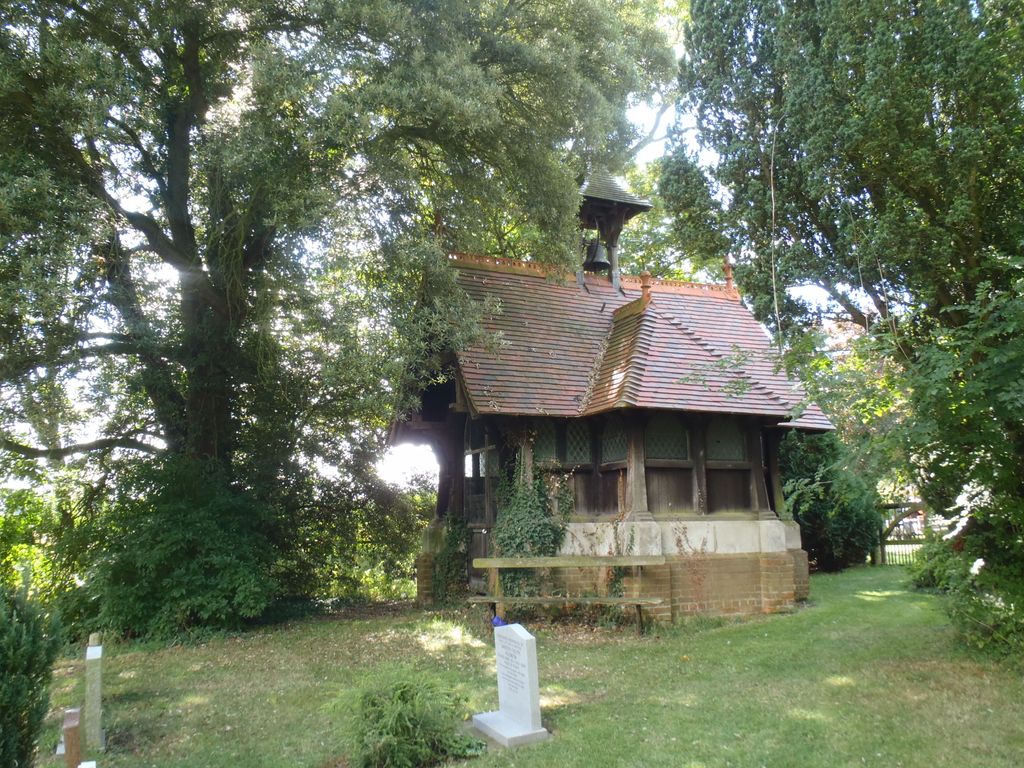
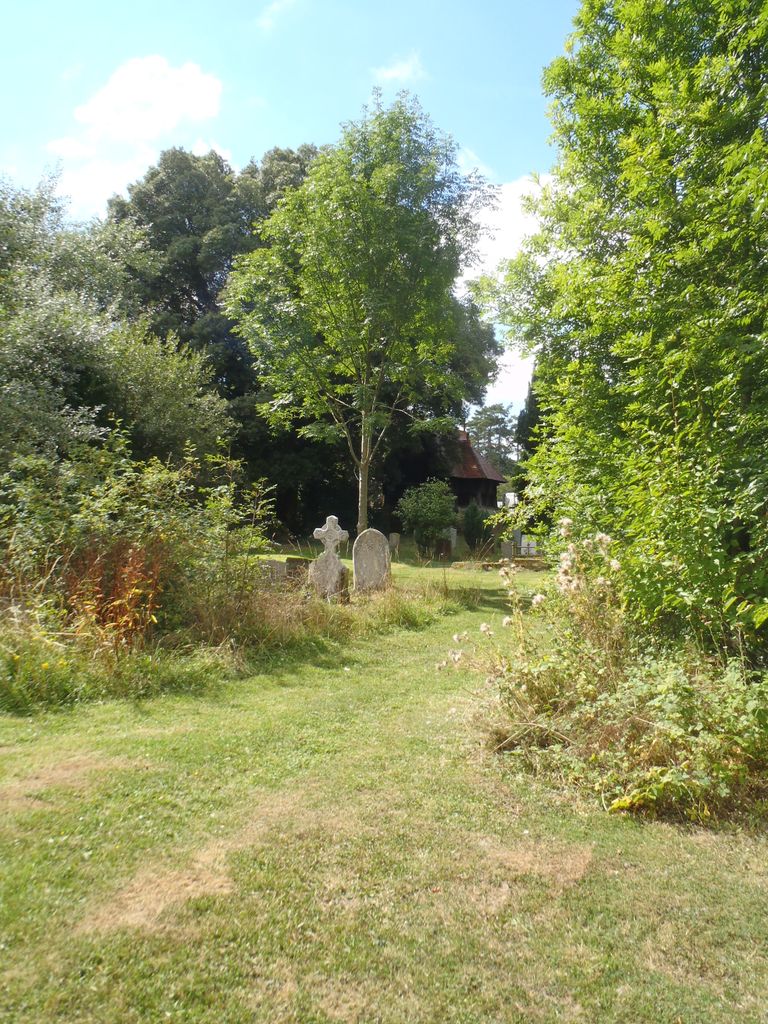
| Description | : | Middle Claydon is a village and civil parish in the Aylesbury Vale district of Buckinghamshire, England. The village is about 5 miles (8 km) south of Buckingham and about 3.5 miles (5.6 km) west of Winslow. Also nearby is the Parish church of All Saints that is in the grounds of Claydon House. The house was the home of Sir Edmund Verney, an English Civil War Royalist, and of Florence Nightingale. |
frequently asked questions (FAQ):
-
Where is Middle Claydon Cemetery?
Middle Claydon Cemetery is located at Queen Catherine Road Middle Claydon, Aylesbury Vale District ,Buckinghamshire ,England.
-
Middle Claydon Cemetery cemetery's updated grave count on graveviews.com?
0 memorials
-
Where are the coordinates of the Middle Claydon Cemetery?
Latitude: 51.9264680
Longitude: -0.9504380
Nearby Cemetories:
1. All Saints Churchyard
Middle Claydon, Aylesbury Vale District, England
Coordinate: 51.9214610, -0.9560130
2. St. Mary the Virgin Churchyard
East Claydon, Aylesbury Vale District, England
Coordinate: 51.9234470, -0.9254750
3. St. Michael Churchyard
Steeple Claydon, Aylesbury Vale District, England
Coordinate: 51.9345150, -0.9752060
4. St. Mary's Churchyard
Addington, Aylesbury Vale District, England
Coordinate: 51.9497100, -0.9206790
5. St. John the Baptist Churchyard
Hogshaw, Aylesbury Vale District, England
Coordinate: 51.8966960, -0.9297480
6. St. Cecilia Churchyard
Adstock, Aylesbury Vale District, England
Coordinate: 51.9646400, -0.9314500
7. St John the Baptist Churchyard
Granborough, Aylesbury Vale District, England
Coordinate: 51.9180150, -0.8850860
8. St Marys Churchyard
Padbury, Aylesbury Vale District, England
Coordinate: 51.9720660, -0.9512940
9. All Saints Churchyard
Hillesden, Aylesbury Vale District, England
Coordinate: 51.9582028, -1.0045972
10. St Michael and All Angels Churchyard
Edgcott, Aylesbury Vale District, England
Coordinate: 51.8995450, -1.0132210
11. Primitive Methodist Church Churchyard (Defunct)
North Marston, Aylesbury Vale District, England
Coordinate: 51.8987110, -0.8828110
12. Assumption of BVM Churchyard
Twyford, Aylesbury Vale District, England
Coordinate: 51.9345860, -1.0341060
13. St. Mary's Churchyard
North Marston, Aylesbury Vale District, England
Coordinate: 51.8971600, -0.8720400
14. St. Mary and Holy Cross Churchyard
Quainton, Aylesbury Vale District, England
Coordinate: 51.8747440, -0.9116610
15. St Leonard Churchyard
Grendon Underwood, Aylesbury Vale District, England
Coordinate: 51.8832800, -1.0174800
16. St. James Churchyard
Great Horwood, Aylesbury Vale District, England
Coordinate: 51.9740230, -0.8792870
17. Holy Trinity Churchyard
Gawcott-with-Lenborough, Aylesbury Vale District, England
Coordinate: 51.9809000, -1.0114000
18. All Saints Churchyard
Oving, Aylesbury Vale District, England
Coordinate: 51.8859230, -0.8644540
19. St. Giles Churchyard
Pitchcott, Aylesbury Vale District, England
Coordinate: 51.8768733, -0.8750126
20. St. John the Baptist Churchyard
Preston Bissett, Aylesbury Vale District, England
Coordinate: 51.9637380, -1.0440980
21. St Mary the Virgin Churchyard
Marsh Gibbon, Aylesbury Vale District, England
Coordinate: 51.9038310, -1.0601060
22. St. Swithun's Churchyard
Swanbourne, Aylesbury Vale District, England
Coordinate: 51.9382920, -0.8362480
23. Swanbourne Cemetery
Swanbourne, Aylesbury Vale District, England
Coordinate: 51.9353700, -0.8349600
24. St. Mary's Churchyard
Thornborough, Aylesbury Vale District, England
Coordinate: 51.9964070, -0.9189690