
| Memorials | : | 0 |
| Location | : | Great Horwood, Aylesbury Vale District, England |
| Coordinate | : | 51.9740230, -0.8792870 |
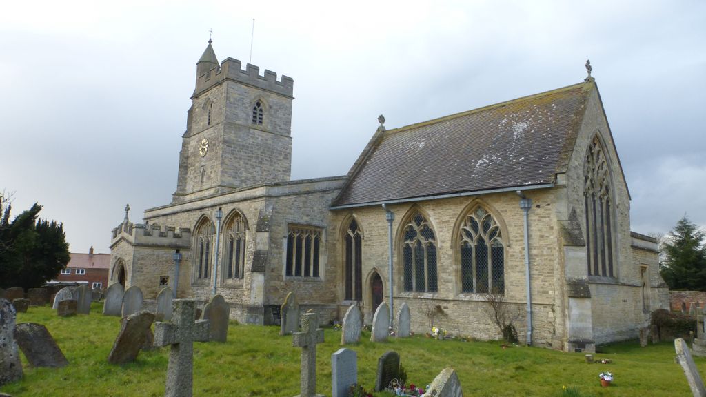
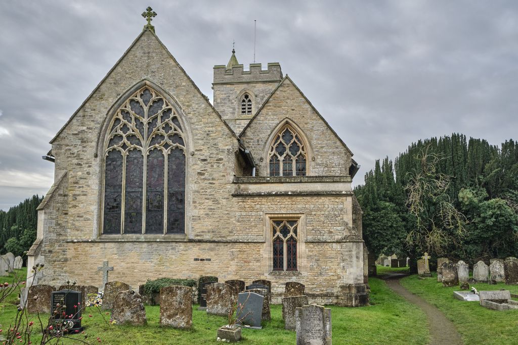
| Description | : | St James is a grade II listed church in the village of Great Horwood It is about five miles ESE of Buckingham, six miles WSW of Milton Keynes. The village name 'Horwood' is Anglo Saxon in origin |
frequently asked questions (FAQ):
-
Where is St. James Churchyard?
St. James Churchyard is located at Great Horwood, Aylesbury Vale District ,Buckinghamshire ,England.
-
St. James Churchyard cemetery's updated grave count on graveviews.com?
0 memorials
-
Where are the coordinates of the St. James Churchyard?
Latitude: 51.9740230
Longitude: -0.8792870
Nearby Cemetories:
1. St. Nicholas Churchyard
Little Horwood, Aylesbury Vale District, England
Coordinate: 51.9703630, -0.8508680
2. All Saints Churchyard
Nash, Aylesbury Vale District, England
Coordinate: 51.9990300, -0.8634000
3. St. Mary's Churchyard
Thornborough, Aylesbury Vale District, England
Coordinate: 51.9964070, -0.9189690
4. St. Cecilia Churchyard
Adstock, Aylesbury Vale District, England
Coordinate: 51.9646400, -0.9314500
5. St. Mary's Churchyard
Addington, Aylesbury Vale District, England
Coordinate: 51.9497100, -0.9206790
6. St Mary Churchyard
Whaddon, Aylesbury Vale District, England
Coordinate: 51.9993190, -0.8283310
7. St Marys Churchyard
Padbury, Aylesbury Vale District, England
Coordinate: 51.9720660, -0.9512940
8. St. Swithun's Churchyard
Swanbourne, Aylesbury Vale District, England
Coordinate: 51.9382920, -0.8362480
9. Swanbourne Cemetery
Swanbourne, Aylesbury Vale District, England
Coordinate: 51.9353700, -0.8349600
10. St Mary the Virgin Churchyard
Mursley, Aylesbury Vale District, England
Coordinate: 51.9494170, -0.8125050
11. St. Michael & All Angels Churchyard
Thornton, Aylesbury Vale District, England
Coordinate: 52.0194400, -0.9055200
12. Mursley Cemetery
Mursley, Aylesbury Vale District, England
Coordinate: 51.9483550, -0.8110360
13. Assumption of the Blessed Virgin Mary Church
Beachampton, Aylesbury Vale District, England
Coordinate: 52.0267000, -0.8784000
14. St John the Baptist Churchyard
Granborough, Aylesbury Vale District, England
Coordinate: 51.9180150, -0.8850860
15. St. Mary the Virgin Churchyard
East Claydon, Aylesbury Vale District, England
Coordinate: 51.9234470, -0.9254750
16. St Leonard's Churchyard
Foscote, Aylesbury Vale District, England
Coordinate: 52.0154000, -0.9571000
17. Middle Claydon Cemetery
Middle Claydon, Aylesbury Vale District, England
Coordinate: 51.9264680, -0.9504380
18. Holy Cross Churchyard
Hoggeston, Aylesbury Vale District, England
Coordinate: 51.9179220, -0.8260200
19. Holy Trinity Churchyard
Drayton Parslow, Aylesbury Vale District, England
Coordinate: 51.9508846, -0.7802638
20. St. Edmund's Churchyard
Maids Moreton, Aylesbury Vale District, England
Coordinate: 52.0104310, -0.9722660
21. St. Faith Churchyard
Newton Longville, Aylesbury Vale District, England
Coordinate: 51.9748000, -0.7667600
22. All Saints Churchyard
Middle Claydon, Aylesbury Vale District, England
Coordinate: 51.9214610, -0.9560130
23. St. Michael Churchyard
Steeple Claydon, Aylesbury Vale District, England
Coordinate: 51.9345150, -0.9752060
24. Friends Meeting House Burial Ground
Buckingham, Aylesbury Vale District, England
Coordinate: 52.0017400, -0.9867000