
| Memorials | : | 0 |
| Location | : | Swanbourne, Aylesbury Vale District, England |
| Coordinate | : | 51.9382920, -0.8362480 |
| Description | : | Swanbourne is a village and also a civil parish within Aylesbury Vale district in Buckinghamshire, England. It is located about two miles east of Winslow, three miles west of Stewkley, on the secondary road B4032. It nestles in the heart of the Buckinghamshire countryside, close to Milton Keynes, Buckingham, Aylesbury and Leighton Buzzard. The village name is Anglo Saxon in origin, and possibly means 'swan stream'. In the Anglo-Saxon Chronicle in 792 the village was recorded as Suanaburna. The manor of Swanbourne once belonged to Woburn Abbey. Swanbourne House was bought in 1798 by Thomas Fremantle. The Fremantle family, originally from... Read More |
frequently asked questions (FAQ):
-
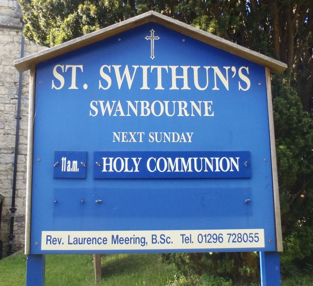
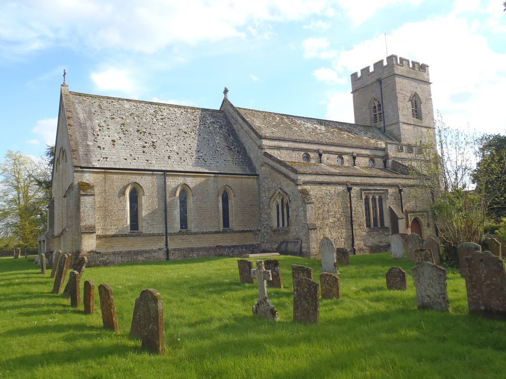
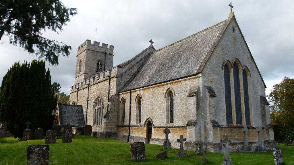
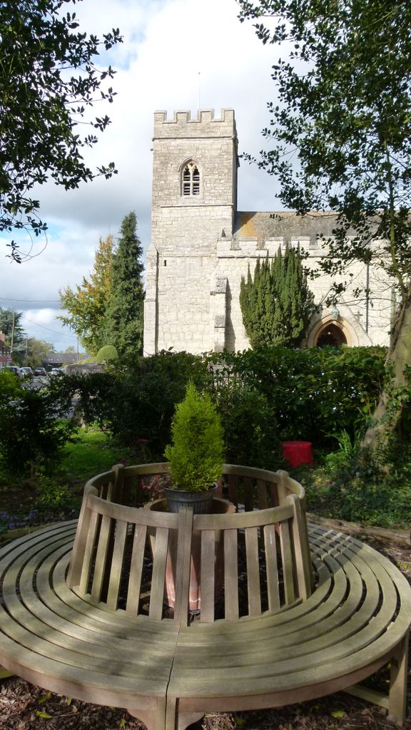
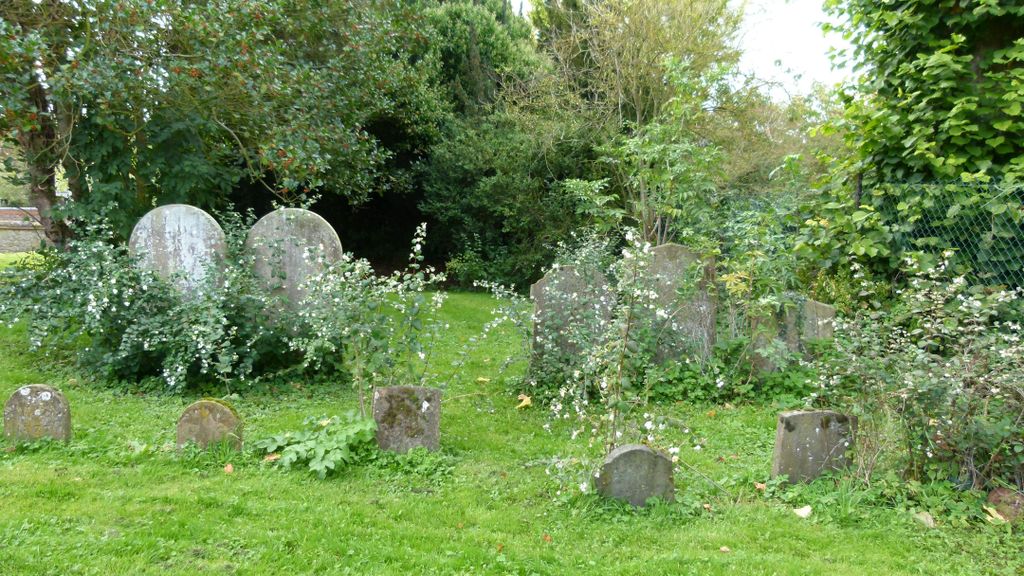
Where is St. Swithun's Churchyard?
St. Swithun's Churchyard is located at Winslow Road B4032 Swanbourne, Aylesbury Vale District ,Buckinghamshire , MK17 0SREngland.
-
St. Swithun's Churchyard cemetery's updated grave count on graveviews.com?
0 memorials
-
Where are the coordinates of the St. Swithun's Churchyard?
Latitude: 51.9382920
Longitude: -0.8362480
Nearby Cemetories:
1. Swanbourne Cemetery
Swanbourne, Aylesbury Vale District, England
Coordinate: 51.9353700, -0.8349600
2. St Mary the Virgin Churchyard
Mursley, Aylesbury Vale District, England
Coordinate: 51.9494170, -0.8125050
3. Mursley Cemetery
Mursley, Aylesbury Vale District, England
Coordinate: 51.9483550, -0.8110360
4. Holy Cross Churchyard
Hoggeston, Aylesbury Vale District, England
Coordinate: 51.9179220, -0.8260200
5. St Martin's churchyard
Dunton, Aylesbury Vale District, England
Coordinate: 51.9117610, -0.8038370
6. St. Nicholas Churchyard
Little Horwood, Aylesbury Vale District, England
Coordinate: 51.9703630, -0.8508680
7. St John the Baptist Churchyard
Granborough, Aylesbury Vale District, England
Coordinate: 51.9180150, -0.8850860
8. Holy Trinity Churchyard
Drayton Parslow, Aylesbury Vale District, England
Coordinate: 51.9508846, -0.7802638
9. St. James Churchyard
Great Horwood, Aylesbury Vale District, England
Coordinate: 51.9740230, -0.8792870
10. St. Mary's Churchyard
North Marston, Aylesbury Vale District, England
Coordinate: 51.8971600, -0.8720400
11. St. Michael & All Angels Churchyard
Stewkley, Aylesbury Vale District, England
Coordinate: 51.9269300, -0.7625700
12. Primitive Methodist Church Churchyard (Defunct)
North Marston, Aylesbury Vale District, England
Coordinate: 51.8987110, -0.8828110
13. St. Mary's Churchyard
Addington, Aylesbury Vale District, England
Coordinate: 51.9497100, -0.9206790
14. All Saints Churchyard
Oving, Aylesbury Vale District, England
Coordinate: 51.8859230, -0.8644540
15. St. Faith Churchyard
Newton Longville, Aylesbury Vale District, England
Coordinate: 51.9748000, -0.7667600
16. St. Mary the Virgin Churchyard
East Claydon, Aylesbury Vale District, England
Coordinate: 51.9234470, -0.9254750
17. St. Nicholas' Churchyard
Cublington, Aylesbury Vale District, England
Coordinate: 51.8918828, -0.7825741
18. St. John the Evangelist Churchyard
Whitchurch, Aylesbury Vale District, England
Coordinate: 51.8806720, -0.8351220
19. St Mary Churchyard
Whaddon, Aylesbury Vale District, England
Coordinate: 51.9993190, -0.8283310
20. All Saints Churchyard
Nash, Aylesbury Vale District, England
Coordinate: 51.9990300, -0.8634000
21. St. Cecilia Churchyard
Adstock, Aylesbury Vale District, England
Coordinate: 51.9646400, -0.9314500
22. St. Giles Churchyard
Pitchcott, Aylesbury Vale District, England
Coordinate: 51.8768733, -0.8750126
23. St. John the Baptist Churchyard
Hogshaw, Aylesbury Vale District, England
Coordinate: 51.8966960, -0.9297480
24. Middle Claydon Cemetery
Middle Claydon, Aylesbury Vale District, England
Coordinate: 51.9264680, -0.9504380