| Memorials | : | 0 |
| Location | : | Franklin County, USA |
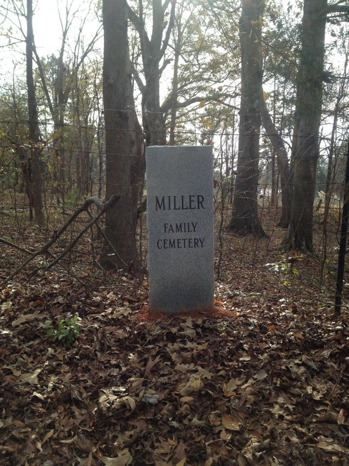
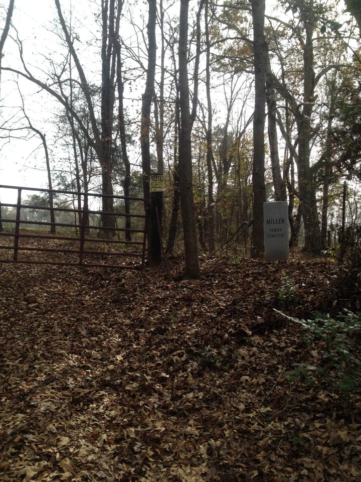
| Description | : | The James Miller 1780-1828 and Adenia Mayson Miller cemetery stands on a hill surrounded by a cedar grove, dividing Banks and Franklin County, Georgia, two miles south of Stephens County and Currahee Mountain, according to cousin Charles Miller, a genealogist known as the Bonedigger. Daughter Mary Polly Miller and her husband George Kesler later owned the land and had a store nearby. Also buried in the cemetery is Judge Richard L. Hooper, a sergeant in the Revolutionary war, the second husband of Adenia. Thanks to cousin Larry Whitfield and his wife Evie Wilson Whitfield, the cemetery is marked for generations... Read More |
frequently asked questions (FAQ):
-
Where is Miller Family Cemetery?
Miller Family Cemetery is located at Franklin County, USA.
-
Miller Family Cemetery cemetery's updated grave count on graveviews.com?
0 memorials
Nearby Cemetories:
1. Addison Family Cemetery
Franklin County, USA
Coordinate: 34.4392014, -83.2641983
2. Arendall Family Cemetery
Franklin County, USA
Coordinate: 34.4451942, -83.2011566
3. Arnolds Chapel C.M.E. Church Cemetery
Ashland, Franklin County, USA
4. Ashland Chapel Cemetery
Ashland, Franklin County, USA
Coordinate: 34.4654670, -83.1334190
5. Dailey Family Cemetery
Ashland, Franklin County, USA
Coordinate: 34.4804170, -83.1471170
6. Goss Family Cemetery
Ashland, Franklin County, USA
Coordinate: 34.3360200, -83.1931110
7. Neal-Adams Family Cemetery
Ashland, Franklin County, USA
Coordinate: 34.3203810, -83.2558360
8. Shannon Family Cemetery
Ashland, Franklin County, USA
Coordinate: 34.2953050, -83.3346660
9. Strange Family Cemetery
Ashland, Franklin County, USA
Coordinate: 34.3714910, -83.2337580
10. Tucker Family Cemetery
Ashland, Franklin County, USA
Coordinate: 34.3577350, -83.1765490
11. Lebanon Campground Cemetery
Franklin County, USA
Coordinate: 34.3284210, -83.3418420
12. Little Hope Cemetery
Franklin County, USA
Coordinate: 34.4029380, -83.3074540
13. Allens United Methodist Church Cemetery
Martin, Franklin County, USA
Coordinate: 34.4392014, -83.2641983
14. Clarks Creek Baptist Church Cemetery
Martin, Franklin County, USA
Coordinate: 34.4451942, -83.2011566
15. McNeil Family Cemetery
Martin, Franklin County, USA
16. Pleasant Hill Baptist Church Cemetery
Martin, Franklin County, USA
Coordinate: 34.4654670, -83.1334190
17. Thomas-Burgess Cemetery
Martin, Franklin County, USA
Coordinate: 34.4804170, -83.1471170
18. Adams Cemetery
Carnesville, Franklin County, USA
Coordinate: 34.3360200, -83.1931110
19. Blackwell Family Cemetery
Carnesville, Franklin County, USA
Coordinate: 34.3203810, -83.2558360
20. Bold Springs Methodist Church Cemetery
Carnesville, Franklin County, USA
Coordinate: 34.2953050, -83.3346660
21. Carnesville United Methodist Church Cemetery
Carnesville, Franklin County, USA
Coordinate: 34.3714910, -83.2337580
22. Carroll's UMC Cemetery
Carnesville, Franklin County, USA
Coordinate: 34.3577350, -83.1765490
23. Carson Road Family Cemetery
Carnesville, Franklin County, USA
Coordinate: 34.3284210, -83.3418420
24. Cash Cemetery #02
Carnesville, Franklin County, USA
Coordinate: 34.4029380, -83.3074540


