
| Memorials | : | 22 |
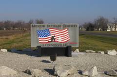
| Location | : | Jacksonville, Randolph County, USA |
| Coordinate | : | 39.5817795, -92.4808426 |
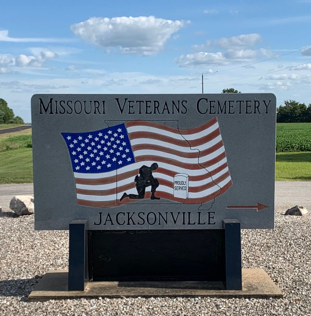
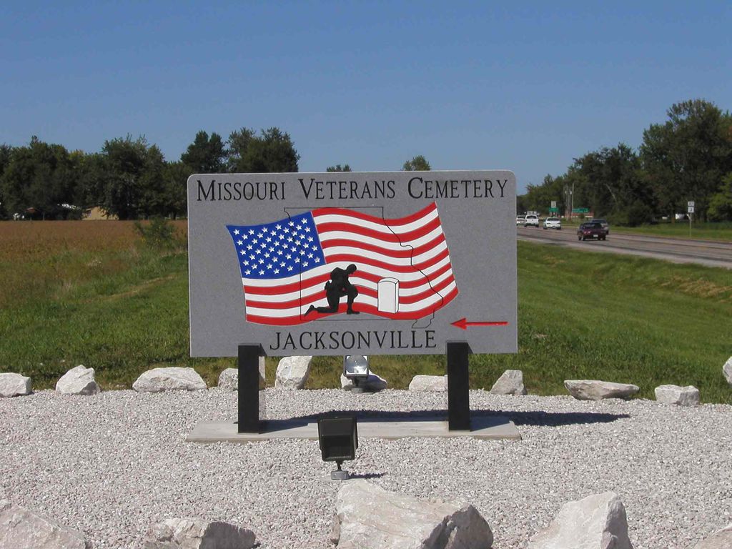
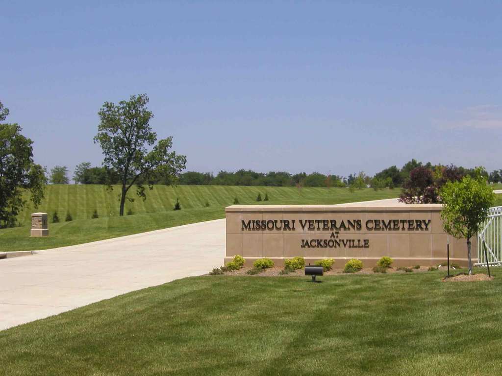
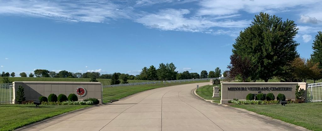
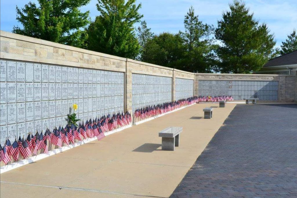
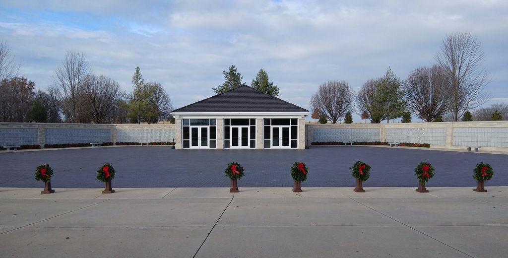
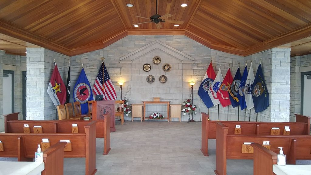
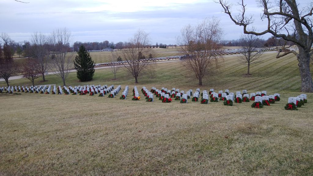
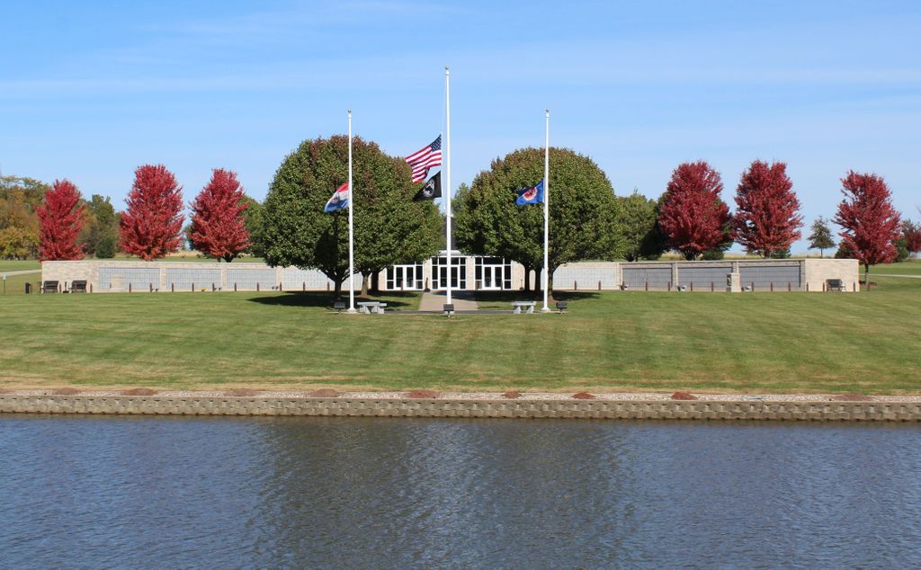
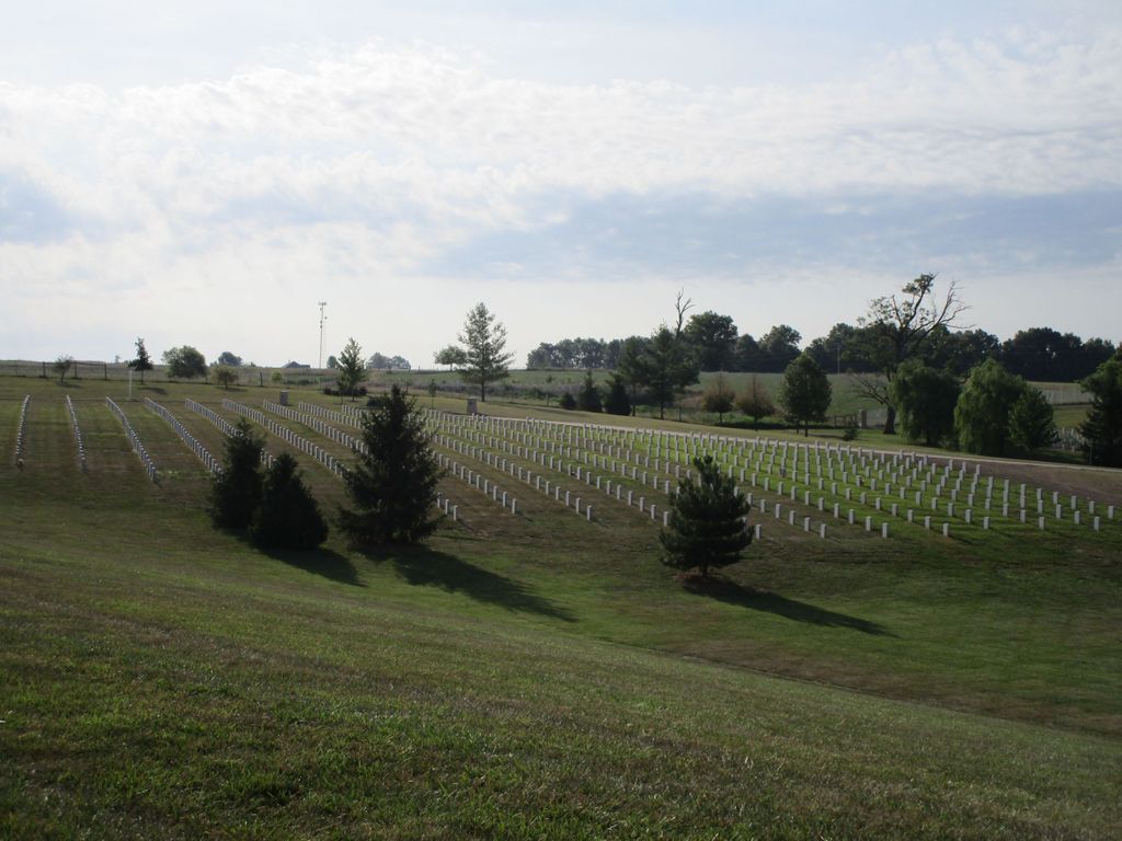
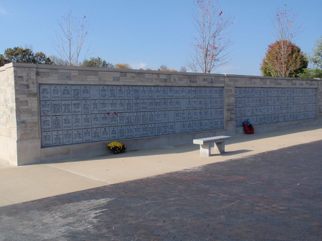
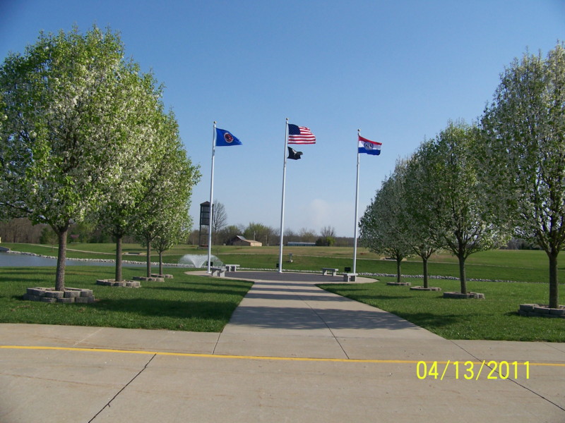
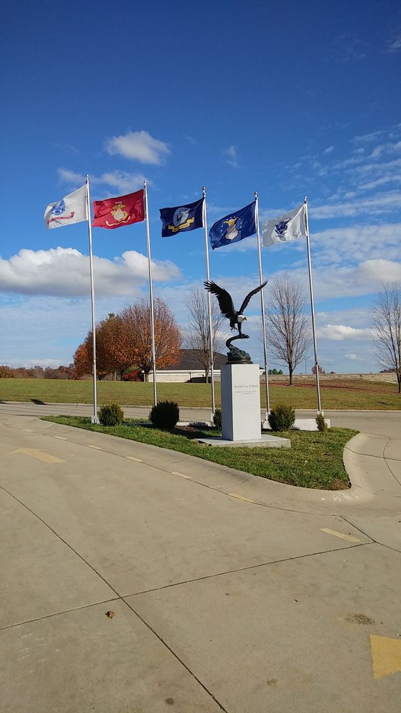
| Description | : | In response to the desire of Missouri Veterans to be buried in a military cemetery, the Missouri Veterans Commission and the National Cemetery Administration established a State Veterans Cemetery at Jacksonville to serve the Veterans of Northeast Missouri. The first interment services were held at the Jacksonville facility on November 3, 2003. The cemetery is situated on 117.4 softly contoured acres which includes a 10 acre lake. Within this extremely attractive location, 59 manicured acres represent the first development phase of the cemetery. This area encompasses an administration building, maintenance facility, committal shelter for interment services, columbarium wall for placement... Read More |
frequently asked questions (FAQ):
-
Where is Missouri Veterans Cemetery at Jacksonville?
Missouri Veterans Cemetery at Jacksonville is located at 1479 County Road 1675 Jacksonville, Randolph County ,Missouri , 65260USA.
-
Missouri Veterans Cemetery at Jacksonville cemetery's updated grave count on graveviews.com?
21 memorials
-
Where are the coordinates of the Missouri Veterans Cemetery at Jacksonville?
Latitude: 39.5817795
Longitude: -92.4808426
Nearby Cemetories:
1. Old Jacksonville Cemetery
Jacksonville, Randolph County, USA
Coordinate: 39.5769600, -92.4670500
2. Reynolds Cemetery
Jacksonville, Randolph County, USA
Coordinate: 39.5855700, -92.4982300
3. Eads Chapel Cemetery
Randolph County, USA
Coordinate: 39.5742580, -92.5052750
4. Davis Cemetery
Randolph County, USA
Coordinate: 39.5630240, -92.4691570
5. Gregory Cemetery
Randolph County, USA
Coordinate: 39.5640660, -92.5119030
6. Stevens-Coulter Family Cemetery
Macon County, USA
Coordinate: 39.6126850, -92.4840747
7. McCanne Burying Ground
Excello, Macon County, USA
Coordinate: 39.6084518, -92.4564667
8. Coulter Cemetery
Jacksonville, Randolph County, USA
Coordinate: 39.6062000, -92.4435900
9. Mount Salem Cemetery
Excello, Macon County, USA
Coordinate: 39.6227600, -92.4864700
10. Coulter Cemetery
Macon County, USA
Coordinate: 39.6238060, -92.4691772
11. Grand Prairie Cemetery
Cairo, Randolph County, USA
Coordinate: 39.5363998, -92.4539032
12. Ancell Cemetery
Cairo, Randolph County, USA
Coordinate: 39.5324600, -92.5044200
13. Summers Family Cemetery
Huntsville, Randolph County, USA
Coordinate: 39.5439036, -92.5413740
14. Barnhart Cemetery
Randolph County, USA
Coordinate: 39.5731010, -92.5671997
15. Butler-Thompson Cemetery
Macon County, USA
Coordinate: 39.6492100, -92.4812290
16. Liberty Cemetery
Cairo, Randolph County, USA
Coordinate: 39.5411200, -92.4035600
17. Jones-Brock Cemetery
Cairo, Randolph County, USA
Coordinate: 39.5458370, -92.3983460
18. Marvin-Carter Cemetery
Randolph County, USA
Coordinate: 39.5957680, -92.5744400
19. Teter Cemetery
College Mound, Macon County, USA
Coordinate: 39.6275570, -92.5563600
20. Lamb Cemetery
Excello, Macon County, USA
Coordinate: 39.6503460, -92.4443200
21. Dameron Family Cemetery
Cairo, Randolph County, USA
Coordinate: 39.5074898, -92.4732701
22. Gilchrist Cemetery
Macon County, USA
Coordinate: 39.6450210, -92.5369770
23. Hall Family Cemetery
Darksville, Randolph County, USA
Coordinate: 39.5613890, -92.5769090
24. Polson-Pipes Cemetery
Randolph County, USA
Coordinate: 39.5044590, -92.4919350