
| Memorials | : | 0 |
| Location | : | Randolph County, USA |
| Coordinate | : | 39.5044590, -92.4919350 |
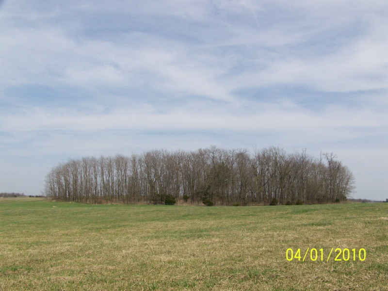
| Description | : | Located in T54 R14 S4 on the east side of Rt DD .42 miles north of CR 1355 Some of this cemetery was accidentally bulldozed when this area was mined. Once the employees realized it was a cemetery, a 6 ft high chain link fence was put up around the area. Since then, trees have fallen across the gate and I could not find a way in. The names listed here are from a listing done before mining started, and even then apparently not many headstones were visible. There were several graves with fieldstone markers and broken headstones.... Read More |
frequently asked questions (FAQ):
-
Where is Polson-Pipes Cemetery?
Polson-Pipes Cemetery is located at Randolph County ,Missouri ,USA.
-
Polson-Pipes Cemetery cemetery's updated grave count on graveviews.com?
0 memorials
-
Where are the coordinates of the Polson-Pipes Cemetery?
Latitude: 39.5044590
Longitude: -92.4919350

Nearby Cemetories:
1. Pleasant Hill Cemetery
Cairo, Randolph County, USA
Coordinate: 39.4976600, -92.4969900
2. Dameron Family Cemetery
Cairo, Randolph County, USA
Coordinate: 39.5074898, -92.4732701
3. Mason-Payton Cemetery
Randolph County, USA
Coordinate: 39.5067770, -92.5215990
4. Phipps-Goodding Cemetery
Randolph County, USA
Coordinate: 39.4897420, -92.5200980
5. Hardister Cemetery
Randolph County, USA
Coordinate: 39.4799210, -92.5116790
6. Ancell Cemetery
Cairo, Randolph County, USA
Coordinate: 39.5324600, -92.5044200
7. Mount Olivette Cemetery
Randolph County, USA
Coordinate: 39.4690780, -92.5131110
8. Grand Prairie Cemetery
Cairo, Randolph County, USA
Coordinate: 39.5363998, -92.4539032
9. Terry Cemetery
Huntsville, Randolph County, USA
Coordinate: 39.4985470, -92.5585630
10. Summers Family Cemetery
Huntsville, Randolph County, USA
Coordinate: 39.5439036, -92.5413740
11. Chapman Cemetery
Randolph County, USA
Coordinate: 39.4494090, -92.5041380
12. Davis Cemetery
Randolph County, USA
Coordinate: 39.5630240, -92.4691570
13. Gregory Cemetery
Randolph County, USA
Coordinate: 39.5640660, -92.5119030
14. David Austin Cemetery
Huntsville, Randolph County, USA
Coordinate: 39.4737420, -92.5649930
15. Sugar Creek Cemetery
Moberly, Randolph County, USA
Coordinate: 39.4468994, -92.4550018
16. Klink-Lay Cemetery
Randolph County, USA
Coordinate: 39.4474120, -92.5345440
17. Little Union Primitive Baptist Church Cemetery
Randolph County, USA
Coordinate: 39.4528000, -92.5510280
18. Memorial Park Cemetery
Moberly, Randolph County, USA
Coordinate: 39.4508018, -92.4332962
19. Eads Chapel Cemetery
Randolph County, USA
Coordinate: 39.5742580, -92.5052750
20. Huntsville City Cemetery
Huntsville, Randolph County, USA
Coordinate: 39.4440500, -92.5460000
21. Old Jacksonville Cemetery
Jacksonville, Randolph County, USA
Coordinate: 39.5769600, -92.4670500
22. Liberty Cemetery
Cairo, Randolph County, USA
Coordinate: 39.5411200, -92.4035600
23. Missouri Veterans Cemetery at Jacksonville
Jacksonville, Randolph County, USA
Coordinate: 39.5817795, -92.4808426
24. Henry Austin Cemetery
Huntsville, Randolph County, USA
Coordinate: 39.4365180, -92.5434960