| Memorials | : | 0 |
| Location | : | Randolph County, USA |
| Coordinate | : | 39.5640660, -92.5119030 |
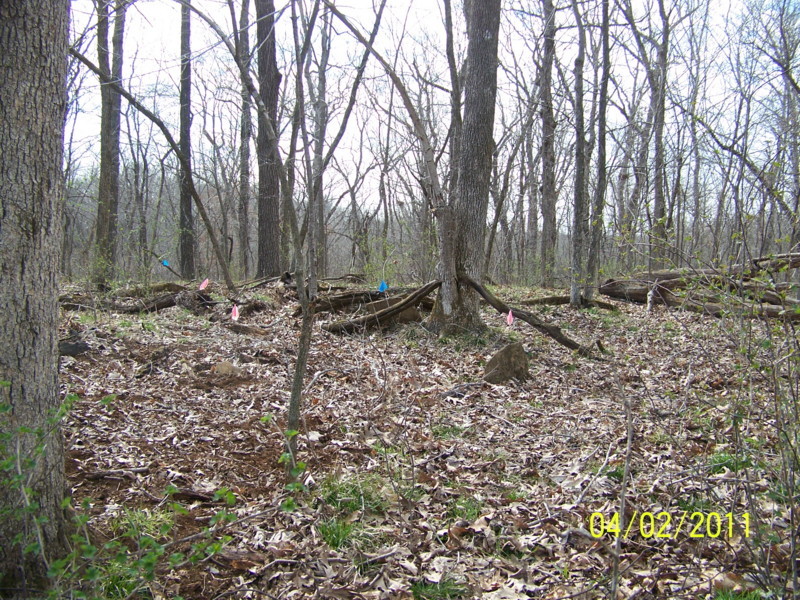
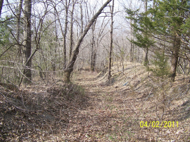
| Description | : | Located in T55 R14 S17/18 on the north side of CR 1285 a short distance west of junction with CR 1650 This cemetery is down an old mining lane in strip pits. There are no engraved stones, but at least a dozen definite graves marked with fieldstones. Remnants of an old wire fence that once enclosed it can still be found. The name Gregory comes from a note and map marked with this location found in the Randolph County Historical Society. The note said the last burial was "A Mr. Gregory" who died about 1900. The 1876 plat... Read More |
frequently asked questions (FAQ):
-
Where is Gregory Cemetery?
Gregory Cemetery is located at Randolph County ,Missouri ,USA.
-
Gregory Cemetery cemetery's updated grave count on graveviews.com?
0 memorials
-
Where are the coordinates of the Gregory Cemetery?
Latitude: 39.5640660
Longitude: -92.5119030
Nearby Cemetories:
1. Eads Chapel Cemetery
Randolph County, USA
Coordinate: 39.5742580, -92.5052750
2. Reynolds Cemetery
Jacksonville, Randolph County, USA
Coordinate: 39.5855700, -92.4982300
3. Missouri Veterans Cemetery at Jacksonville
Jacksonville, Randolph County, USA
Coordinate: 39.5817795, -92.4808426
4. Summers Family Cemetery
Huntsville, Randolph County, USA
Coordinate: 39.5439036, -92.5413740
5. Ancell Cemetery
Cairo, Randolph County, USA
Coordinate: 39.5324600, -92.5044200
6. Davis Cemetery
Randolph County, USA
Coordinate: 39.5630240, -92.4691570
7. Old Jacksonville Cemetery
Jacksonville, Randolph County, USA
Coordinate: 39.5769600, -92.4670500
8. Barnhart Cemetery
Randolph County, USA
Coordinate: 39.5731010, -92.5671997
9. Hall Family Cemetery
Darksville, Randolph County, USA
Coordinate: 39.5613890, -92.5769090
10. Grand Prairie Cemetery
Cairo, Randolph County, USA
Coordinate: 39.5363998, -92.4539032
11. Stevens-Coulter Family Cemetery
Macon County, USA
Coordinate: 39.6126850, -92.4840747
12. Darksville Cemetery
Darksville, Randolph County, USA
Coordinate: 39.5542700, -92.5814900
13. Mount Shiloh Baptist Church Cemetery
Darksville, Randolph County, USA
Coordinate: 39.5534360, -92.5814940
14. Marvin-Carter Cemetery
Randolph County, USA
Coordinate: 39.5957680, -92.5744400
15. Mason-Payton Cemetery
Randolph County, USA
Coordinate: 39.5067770, -92.5215990
16. Broaddus Cemetery
Darksville, Randolph County, USA
Coordinate: 39.5655550, -92.5902770
17. Hickory Grove Cemetery
Randolph County, USA
Coordinate: 39.5402985, -92.5852966
18. Polson-Pipes Cemetery
Randolph County, USA
Coordinate: 39.5044590, -92.4919350
19. McCanne Burying Ground
Excello, Macon County, USA
Coordinate: 39.6084518, -92.4564667
20. Mount Salem Cemetery
Excello, Macon County, USA
Coordinate: 39.6227600, -92.4864700
21. Dameron Family Cemetery
Cairo, Randolph County, USA
Coordinate: 39.5074898, -92.4732701
22. Pleasant Hill Cemetery
Cairo, Randolph County, USA
Coordinate: 39.4976600, -92.4969900
23. Coulter Cemetery
Jacksonville, Randolph County, USA
Coordinate: 39.6062000, -92.4435900
24. Coulter Cemetery
Macon County, USA
Coordinate: 39.6238060, -92.4691772


