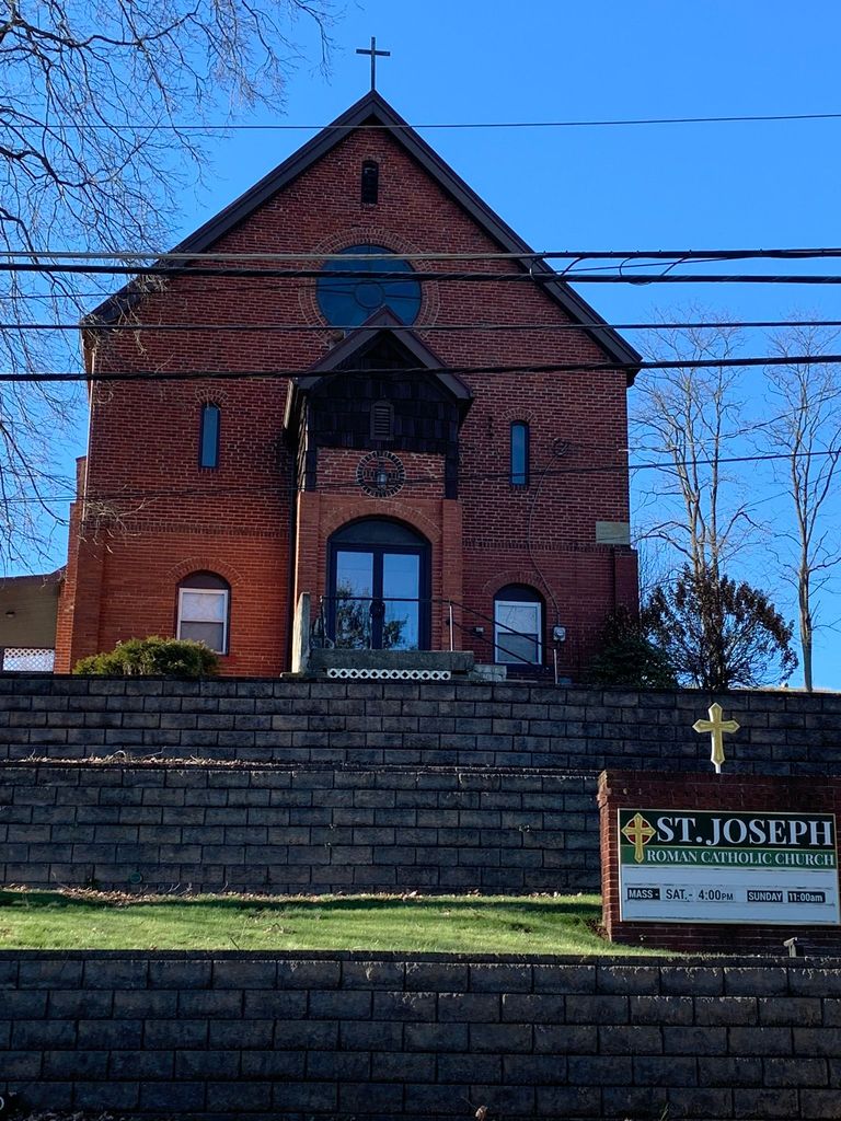
| Memorials | : | 1 |
| Location | : | Amsterdam, Jefferson County, USA |
| Coordinate | : | 40.4756230, -80.9229770 |
| Description | : | The cemetery is located on the east side of N Main Street (Ohio State Route 164) about 0.1 miles north of its intersection with Steubenville Road Se (Ohio State Route 43). The cemetery is located in Springfield Township, Jefferson County, Ohio, and is # 14764 (Saint Joseph Cemetery) in “Ohio Cemeteries 1803-2003”, compiled by the Ohio Genealogical Society. The cemetery is registered with the Ohio Division of Real Estate and Professional Licensing (ODRE) as St. Joseph Cemetery with registration license number CBR.0000983135. |
frequently asked questions (FAQ):
-
Where is Saint Joseph Cemetery?
Saint Joseph Cemetery is located at Amsterdam, Jefferson County, USA.
-
Saint Joseph Cemetery cemetery's updated grave count on graveviews.com?
1 memorials
-
Where are the coordinates of the Saint Joseph Cemetery?
Latitude: 40.4756230
Longitude: -80.9229770
Nearby Cemetories:
1. Amsterdam Cemetery
Loudon Township, Carroll County, USA
Coordinate: 40.4752998, -80.9250031
2. Amsterdam Catholic Cemetery
Amsterdam, Jefferson County, USA
Coordinate: 40.4899390, -80.9093740
3. Kisha Farm Cemetery
Wolf Run, Jefferson County, USA
Coordinate: 40.4646988, -80.8964005
4. All Saints Russian Orthodox Church Cemetery
Wolf Run, Jefferson County, USA
Coordinate: 40.4598130, -80.8920900
5. Simmons Ridge Cemetery
Carroll County, USA
Coordinate: 40.4757996, -80.9621964
6. Crawford Cemetery
Lee Township, Carroll County, USA
Coordinate: 40.4935030, -80.9578650
7. Miller Cemetery
Springfield Township, Jefferson County, USA
Coordinate: 40.4509580, -80.8913850
8. Circle Green Cemetery
Springfield Township, Jefferson County, USA
Coordinate: 40.4817610, -80.8769050
9. Mizer Cemetery
Amsterdam, Jefferson County, USA
Coordinate: 40.4318450, -80.9247940
10. Simmons Cemetery
Carroll County, USA
Coordinate: 40.4622002, -80.9783020
11. Davidson Cemetery
Springfield Township, Jefferson County, USA
Coordinate: 40.4441986, -80.8818970
12. Bergholz Cemetery
Bergholz, Jefferson County, USA
Coordinate: 40.5155983, -80.8955994
13. Wells-Jackman Cemetery
Carroll County, USA
Coordinate: 40.5177994, -80.9522018
14. East Springfield Cemetery
East Springfield, Jefferson County, USA
Coordinate: 40.4490890, -80.8592080
15. Kilgore Presbyterian Cemetery
Carroll County, USA
Coordinate: 40.4603004, -81.0002975
16. Kilgore Cemetery
Kilgore, Carroll County, USA
Coordinate: 40.4632988, -81.0014038
17. Montgomery Cemetery
East Springfield, Jefferson County, USA
Coordinate: 40.4776540, -80.8347600
18. Dorn Cemetery
Bergholz, Jefferson County, USA
Coordinate: 40.5257988, -80.8625031
19. Germano Cemetery
Germano, Harrison County, USA
Coordinate: 40.4108009, -80.9522018
20. Abel Cemetery
Carroll County, USA
Coordinate: 40.4578018, -81.0113983
21. Zion Cemetery
Germano, Harrison County, USA
Coordinate: 40.4030991, -80.9238968
22. Chestnut Ridge Cemetery
Harlem Springs, Carroll County, USA
Coordinate: 40.5491982, -80.9336014
23. Yellow Creek Cemetery
Bergholz, Jefferson County, USA
Coordinate: 40.5193740, -80.8438470
24. Mooretown Methodist Episcopal Cemetery
Ross Township, Jefferson County, USA
Coordinate: 40.5189200, -80.8391800

