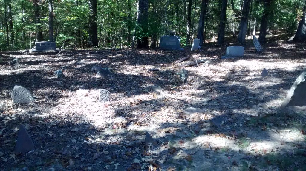
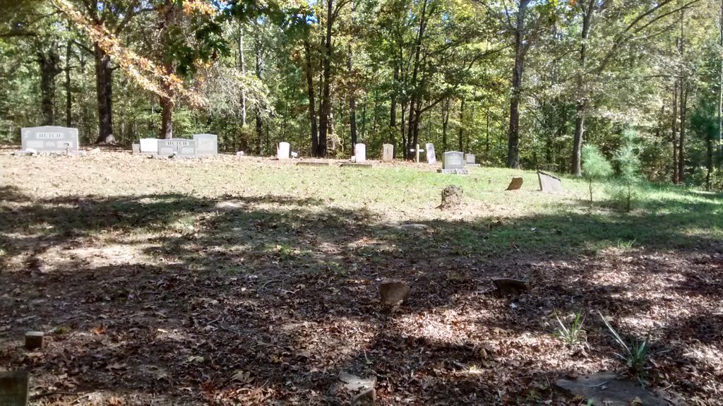
| Memorials | : | 4 |
| Location | : | Cedar Grove, Carroll County, USA |
| Coordinate | : | 35.8335550, -88.5556430 |
| Description | : | From the intersection of US-70 & Sulphur Springs Rd., travel southeast on Sulphur Springs Rd. for 0.8 mi. turning east (left) onto Morning Sun Cemetery Rd. going 0.9 mi to the driveway leading to the cemetery on the south (right) side of the road. |
frequently asked questions (FAQ):
-
Where is Morning Sun Cemetery?
Morning Sun Cemetery is located at 890 Morning Sun Cemetery Rd Cedar Grove, Carroll County ,Tennessee , 38321USA.
-
Morning Sun Cemetery cemetery's updated grave count on graveviews.com?
4 memorials
-
Where are the coordinates of the Morning Sun Cemetery?
Latitude: 35.8335550
Longitude: -88.5556430
Nearby Cemetories:
1. Barham Cemetery
Carroll County, USA
Coordinate: 35.8264600, -88.5800200
2. New Bethel Cemetery
Cedar Grove, Carroll County, USA
Coordinate: 35.8319016, -88.5286636
3. Old Woodard Cemetery
Cedar Grove, Carroll County, USA
Coordinate: 35.8570180, -88.5457830
4. Woodard Cemetery
Cedar Grove, Carroll County, USA
Coordinate: 35.8574250, -88.5639770
5. Spain Cemetery
Henderson County, USA
Coordinate: 35.8069000, -88.5663986
6. Hickory Flat Church Cemetery
Cedar Grove, Carroll County, USA
Coordinate: 35.8223490, -88.5904320
7. James Cemetery
Cedar Grove, Henderson County, USA
Coordinate: 35.8034590, -88.5310720
8. Kirk Family Cemetery
Cedar Grove, Henderson County, USA
Coordinate: 35.8158990, -88.5958870
9. Furgerson Cemetery
Cedar Grove, Carroll County, USA
Coordinate: 35.8730830, -88.5732250
10. Pleasant Hill Church Cemetery
Lavinia, Carroll County, USA
Coordinate: 35.8481670, -88.6147370
11. Providence Cemetery
Carroll County, USA
Coordinate: 35.8306007, -88.6175003
12. Pearce Cemetery
Lavinia, Carroll County, USA
Coordinate: 35.8385000, -88.6180100
13. Rue Hammer Cemetery
Parkers Crossroads, Henderson County, USA
Coordinate: 35.8093400, -88.4994800
14. Bible Hill Cemetery
Henderson County, USA
Coordinate: 35.8097000, -88.4985200
15. Seats Chapel Holiness Church Cemetery
Cedar Grove, Henderson County, USA
Coordinate: 35.8118860, -88.4964260
16. Mount Pleasant Church Cemetery
Wildersville, Henderson County, USA
Coordinate: 35.8095680, -88.4974310
17. Leach Seventh Day Adventist Cemetery
Leach, Carroll County, USA
Coordinate: 35.8909988, -88.5358963
18. Wood Hill Cemetery
Cedar Grove, Carroll County, USA
Coordinate: 35.8041440, -88.6211750
19. Burns Family Cemetery
Terry, Carroll County, USA
Coordinate: 35.8650700, -88.6197200
20. Mount Aratt Primitive Baptist Church Cemetery
Rock Springs, Henderson County, USA
Coordinate: 35.8206000, -88.4798800
21. Zion Church Cemetery
Lavinia, Carroll County, USA
Coordinate: 35.8947920, -88.5787710
22. Stewart Cemetery
Henderson County, USA
Coordinate: 35.7694170, -88.5537500
23. Smith-Hart Cemetery
Henderson County, USA
Coordinate: 35.8191986, -88.4753036
24. Pearson Cemetery
Cedar Grove, Carroll County, USA
Coordinate: 35.9003660, -88.5531730


