
| Memorials | : | 0 |
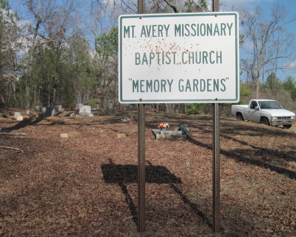
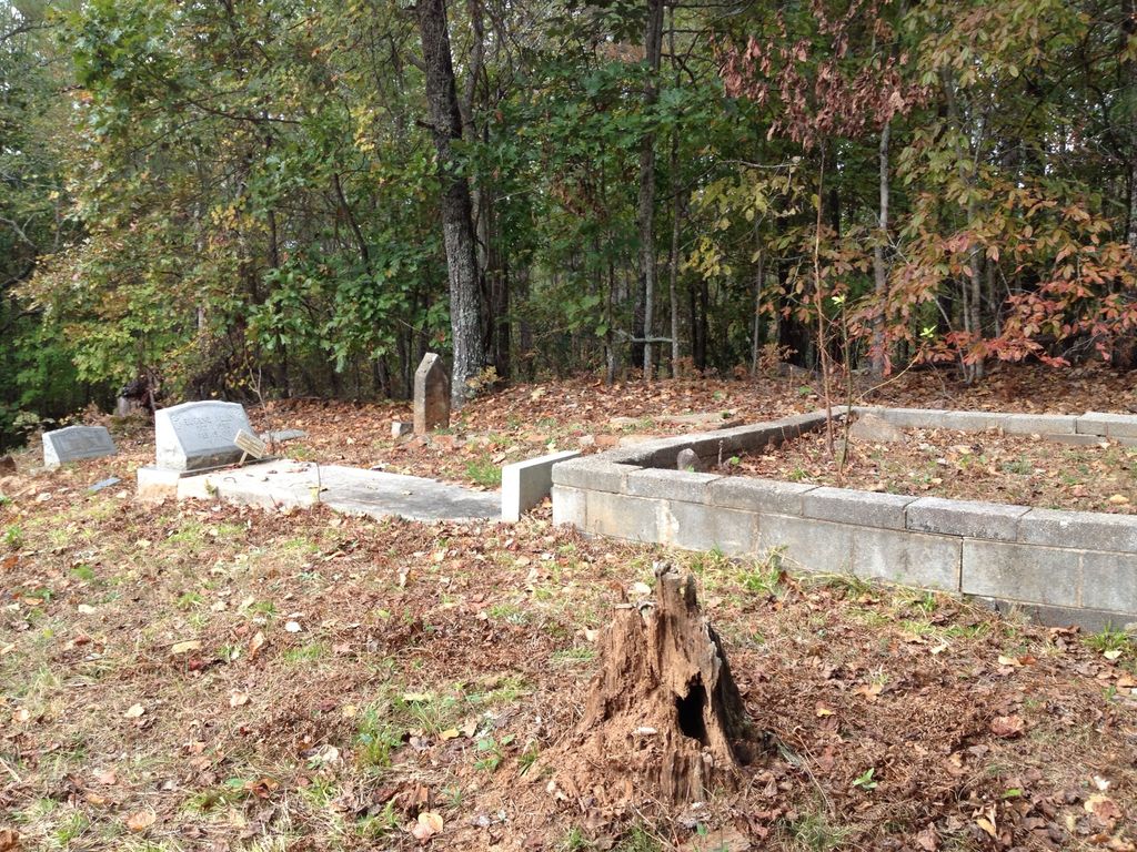
| Location | : | Whitesburg, Carroll County, USA |
| Coordinate | : | 33.5317001, -84.8966980 |
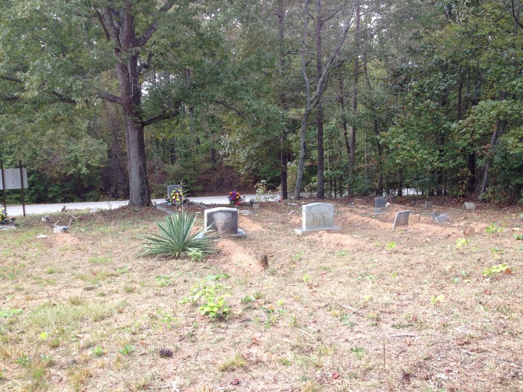
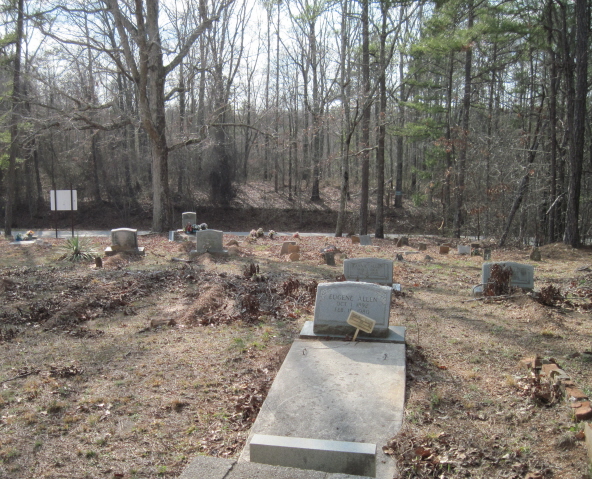
| Description | : | From Whitesburg going east on Highway 5, turn left at Jones Mills Road and go 2.5 miles. The cemetery in on the east side of Jones Mills Road. Row 1 starts closest to the road. |
frequently asked questions (FAQ):
-
Where is Mount Avery Missionary Baptist Memory Gardens?
Mount Avery Missionary Baptist Memory Gardens is located at Jones Mills Road Whitesburg, Carroll County ,Georgia ,USA.
-
Mount Avery Missionary Baptist Memory Gardens cemetery's updated grave count on graveviews.com?
0 memorials
-
Where are the coordinates of the Mount Avery Missionary Baptist Memory Gardens?
Latitude: 33.5317001
Longitude: -84.8966980
Nearby Cemetories:
1. Saint Paul Methodist Church Cemetery
Whitesburg, Carroll County, USA
Coordinate: 33.5503006, -84.9094009
2. Jones Mill Cemetery
Whitesburg, Carroll County, USA
Coordinate: 33.5139008, -84.9116974
3. Corinth Baptist Church Cemetery
Whitesburg, Carroll County, USA
Coordinate: 33.5231018, -84.9233017
4. Buyers Cemetery
Whitesburg, Carroll County, USA
Coordinate: 33.5079750, -84.8897370
5. Antioch Baptist Church Cemetery
Whitesburg, Carroll County, USA
Coordinate: 33.5228190, -84.8674190
6. Jones-Watson Cemetery
Whitesburg, Carroll County, USA
Coordinate: 33.5186780, -84.8694710
7. Ayers Cemetery
Whitesburg, Carroll County, USA
Coordinate: 33.5029340, -84.9100470
8. Antioch Primitive Baptist Church Cemetery
Banning, Carroll County, USA
Coordinate: 33.5181007, -84.9321976
9. Mount Calvary Cemetery
Carroll County, USA
Coordinate: 33.5085983, -84.9246979
10. Head Family Cemetery
Whitesburg, Carroll County, USA
Coordinate: 33.5410910, -84.8566390
11. Banning Church of God Cemetery
Whitesburg, Carroll County, USA
Coordinate: 33.5088340, -84.9296410
12. Whitesburg Cemetery
Whitesburg, Carroll County, USA
Coordinate: 33.5005989, -84.9180984
13. Summerlin - Adams Cemetery
Whitesburg, Carroll County, USA
Coordinate: 33.5028620, -84.8676250
14. Stovall Cemetery
Whitesburg, Carroll County, USA
Coordinate: 33.5726510, -84.8971080
15. Avery Cemetery
Whitesburg, Carroll County, USA
Coordinate: 33.5280340, -84.8473910
16. Sparks Cemetery
Dingler Crossroads, Carroll County, USA
Coordinate: 33.5429840, -84.9445500
17. Jones-Cook Cemetery
Carroll County, USA
Coordinate: 33.5732002, -84.8909098
18. Taylor Cemetery
Whitesburg, Carroll County, USA
Coordinate: 33.4875450, -84.8988030
19. Dillard Cemetery
Whitesburg, Carroll County, USA
Coordinate: 33.4920640, -84.9213980
20. Consolation Baptist Church Cemetery
Whitesburg, Carroll County, USA
Coordinate: 33.5731010, -84.9171982
21. Holland Mills Cemetery
Byers Crossroads, Carroll County, USA
Coordinate: 33.5687180, -84.8654040
22. Mount Avery Missionary Baptist Church Cemetery
Whitesburg, Carroll County, USA
Coordinate: 33.4867220, -84.9074080
23. County Line Primitive Baptist Church Cemetery
Whitesburg, Carroll County, USA
Coordinate: 33.5477982, -84.8442001
24. Driver-Boon-Bearden Family Cemetery
Carrollton, Carroll County, USA
Coordinate: 33.5353710, -84.9556820