
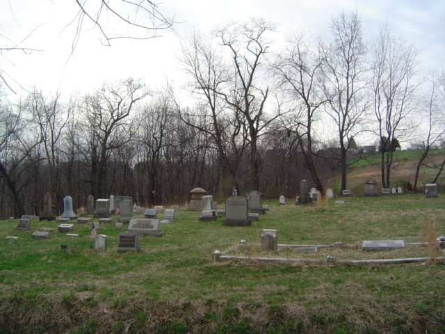
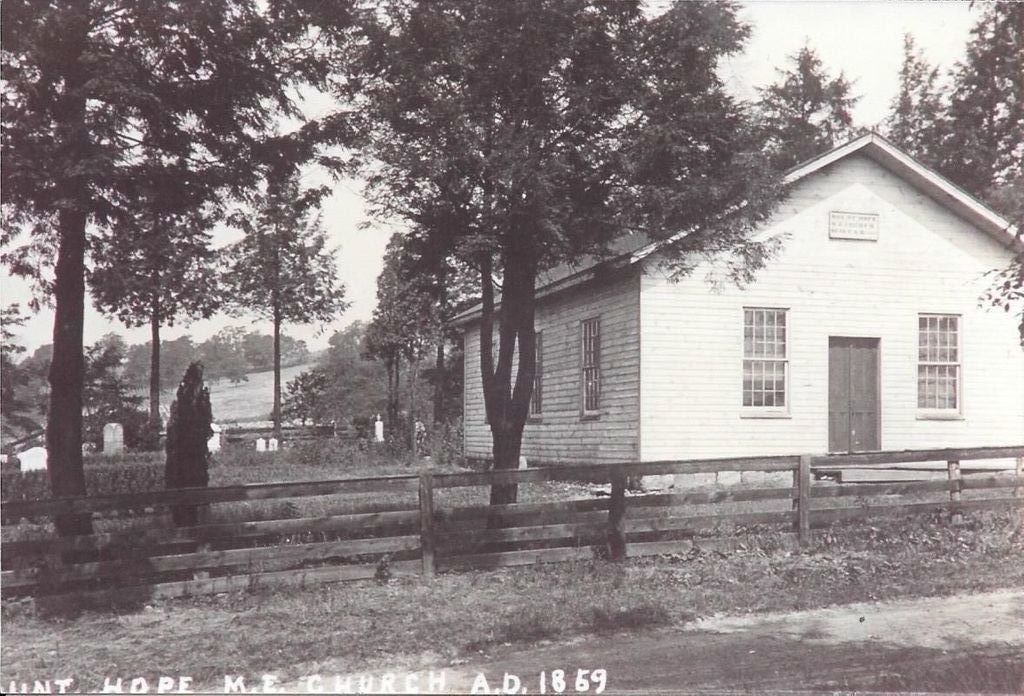
| Memorials | : | 1 |
| Location | : | Westmoreland County, USA |
| Coordinate | : | 40.6166382, -79.6881180 |
frequently asked questions (FAQ):
-
Where is Mount Hope Cemetery?
Mount Hope Cemetery is located at Westmoreland County ,Pennsylvania ,USA.
-
Mount Hope Cemetery cemetery's updated grave count on graveviews.com?
1 memorials
-
Where are the coordinates of the Mount Hope Cemetery?
Latitude: 40.6166382
Longitude: -79.6881180
Nearby Cemetories:
1. Morrison Cemetery
Lower Burrell, Westmoreland County, USA
Coordinate: 40.6082500, -79.7003600
2. Greenwood Memorial Park
Lower Burrell, Westmoreland County, USA
Coordinate: 40.5957985, -79.6849976
3. Saint Joseph Parish Cemetery
Natrona Heights, Allegheny County, USA
Coordinate: 40.6316150, -79.7158960
4. Mount Airy Cemetery
Natrona Heights, Allegheny County, USA
Coordinate: 40.6371994, -79.7089005
5. Pet Haven at Mount Airy
Natrona Heights, Allegheny County, USA
Coordinate: 40.6388615, -79.7090183
6. Saint Mary Cemetery
Lower Burrell, Westmoreland County, USA
Coordinate: 40.5868988, -79.6964035
7. Burtner Cemetery
Natrona Heights, Allegheny County, USA
Coordinate: 40.6299000, -79.7293000
8. Bethesda Cemetery
Westmoreland County, USA
Coordinate: 40.5833015, -79.6744003
9. Brookland Cemetery
Bagdad, Westmoreland County, USA
Coordinate: 40.6493988, -79.6669006
10. Puckety UP Church Cemetery
Lower Burrell, Westmoreland County, USA
Coordinate: 40.5787010, -79.6961975
11. Bethel Cemetery
Lower Burrell, Westmoreland County, USA
Coordinate: 40.5891991, -79.7292023
12. Prospect Cemetery
Brackenridge, Allegheny County, USA
Coordinate: 40.6102982, -79.7472000
13. Ross Cemetery
Lower Burrell, Westmoreland County, USA
Coordinate: 40.5881190, -79.7422660
14. Pine Run Presbyterian Church Cemetery
Markle, Westmoreland County, USA
Coordinate: 40.5811005, -79.6417007
15. Beth Jacob Congregational Cemetery
New Kensington, Westmoreland County, USA
Coordinate: 40.5928001, -79.7481995
16. Union Cemetery
Arnold, Westmoreland County, USA
Coordinate: 40.5819016, -79.7549973
17. Saint Mary's Cemetery
Freeport, Armstrong County, USA
Coordinate: 40.6800003, -79.6781006
18. Leechburg Cemetery
Leechburg, Armstrong County, USA
Coordinate: 40.6320220, -79.6064030
19. Freeport Cemetery
Freeport, Armstrong County, USA
Coordinate: 40.6810989, -79.6791992
20. Sober Hill Cemetery
Leechburg, Armstrong County, USA
Coordinate: 40.6650760, -79.6245240
21. Evergreen Cemetery
Leechburg, Armstrong County, USA
Coordinate: 40.6478004, -79.6035995
22. Saint Catherine's Cemetery
Leechburg, Armstrong County, USA
Coordinate: 40.6469994, -79.6019974
23. Hunter Family Cemetery
Lower Burrell, Westmoreland County, USA
Coordinate: 40.5417862, -79.6650391
24. Kidd Farm Cemetery
Leechburg, Armstrong County, USA
Coordinate: 40.6547220, -79.5988890