
| Memorials | : | 126 |
| Location | : | Council Bluffs, Pottawattamie County, USA |
| Coordinate | : | 41.2700900, -95.8226400 |
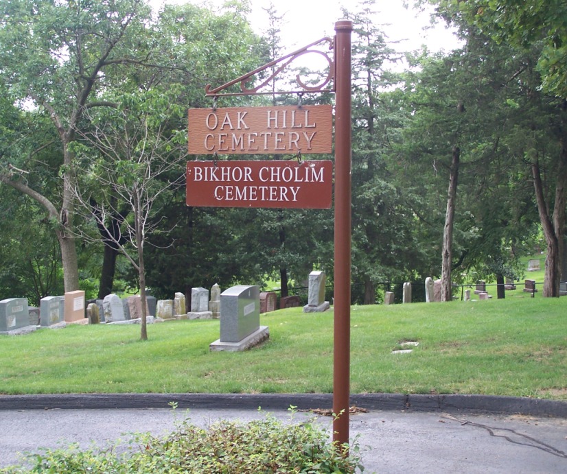
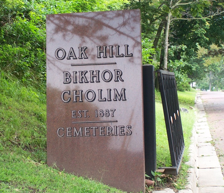
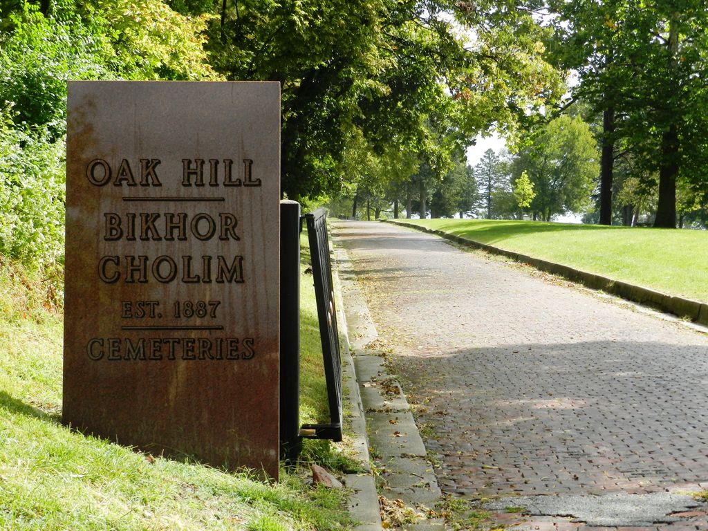
| Description | : | Oak Hill is a Reformed-Jewish Cemetery. It is located beside three other cemeteries - Bikhor Cholim is on the north, St. Joseph Catholic Cemetery is on the east, and Cedar Lawn is on the south. East Pierce Street and the brick entry driveway to the cemetery are on the west side. |
frequently asked questions (FAQ):
-
Where is Oak Hill Cemetery?
Oak Hill Cemetery is located at 1350 East Pierce Street Council Bluffs, Pottawattamie County ,Iowa , 51503USA.
-
Oak Hill Cemetery cemetery's updated grave count on graveviews.com?
126 memorials
-
Where are the coordinates of the Oak Hill Cemetery?
Latitude: 41.2700900
Longitude: -95.8226400
Nearby Cemetories:
1. Bikhor Cholim Cemetery
Council Bluffs, Pottawattamie County, USA
Coordinate: 41.2703670, -95.8229350
2. Saint Joseph Cemetery
Council Bluffs, Pottawattamie County, USA
Coordinate: 41.2722015, -95.8208008
3. Walnut Hill Cemetery
Council Bluffs, Pottawattamie County, USA
Coordinate: 41.2719002, -95.8255997
4. Cedar Lawn Cemetery
Council Bluffs, Pottawattamie County, USA
Coordinate: 41.2694016, -95.8182983
5. Ridgewood Cemetery
Council Bluffs, Pottawattamie County, USA
Coordinate: 41.2694016, -95.8272018
6. Green Valley Cemetery
Council Bluffs, Pottawattamie County, USA
Coordinate: 41.2743988, -95.8225021
7. Memorial Park Cemetery
Council Bluffs, Pottawattamie County, USA
Coordinate: 41.2644005, -95.8261032
8. Clark Cemetery
Pottawattamie County, USA
Coordinate: 41.2551610, -95.8223390
9. Fairview Cemetery
Council Bluffs, Pottawattamie County, USA
Coordinate: 41.2703018, -95.8480988
10. Garner Cemetery
Council Bluffs, Pottawattamie County, USA
Coordinate: 41.2956161, -95.8001709
11. Stoker-Graybill Cemetery
Council Bluffs, Pottawattamie County, USA
Coordinate: 41.2532620, -95.7751770
12. Maple Grove Cemetery
Council Bluffs, Pottawattamie County, USA
Coordinate: 41.2265560, -95.8187100
13. Evans Cemetery
Crescent, Pottawattamie County, USA
Coordinate: 41.3255997, -95.8368988
14. Lewis Township Cemetery
Council Bluffs, Pottawattamie County, USA
Coordinate: 41.2117004, -95.7938995
15. Gregg Cemetery
Weston, Pottawattamie County, USA
Coordinate: 41.3330000, -95.7931000
16. Council Point Cemetery
Council Bluffs, Pottawattamie County, USA
Coordinate: 41.2110830, -95.8788610
17. Hazel Dell Cemetery
Council Bluffs, Pottawattamie County, USA
Coordinate: 41.3489723, -95.7939911
18. Trinity Cathedral Columbarium
Omaha, Douglas County, USA
Coordinate: 41.2603900, -95.9393660
19. Saint Columbanus Cemetery
Weston, Pottawattamie County, USA
Coordinate: 41.3429440, -95.7435260
20. Crescent Cemetery
Crescent, Pottawattamie County, USA
Coordinate: 41.3664894, -95.8566208
21. Prospect Hill Cemetery
Omaha, Douglas County, USA
Coordinate: 41.2780991, -95.9593964
22. First Central Congregational Columbarium
Omaha, Douglas County, USA
Coordinate: 41.2563456, -95.9658365
23. Saint Pauls Evangelical Country Church Cemetery
Dumfries, Pottawattamie County, USA
Coordinate: 41.1748352, -95.7492371
24. Nash Chapel Crypt
Omaha, Douglas County, USA
Coordinate: 41.2665090, -95.9721790