
| Memorials | : | 122 |
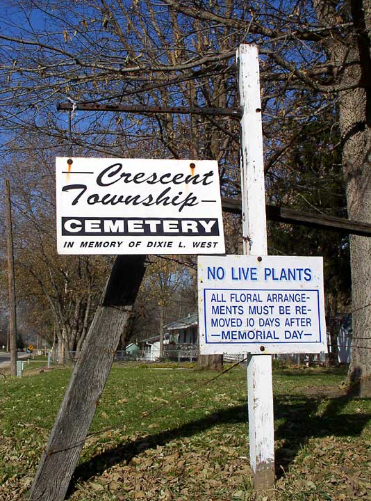
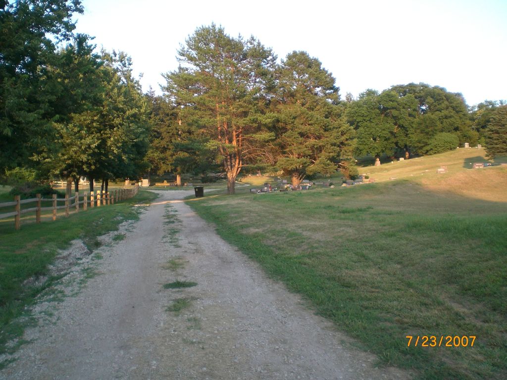
| Location | : | Crescent, Pottawattamie County, USA |
| Coordinate | : | 41.3664894, -95.8566208 |
frequently asked questions (FAQ):
-
Where is Crescent Cemetery?
Crescent Cemetery is located at Crescent, Pottawattamie County ,Iowa ,USA.
-
Crescent Cemetery cemetery's updated grave count on graveviews.com?
39 memorials
-
Where are the coordinates of the Crescent Cemetery?
Latitude: 41.3664894
Longitude: -95.8566208
Nearby Cemetories:
1. William C McIntosh Cemetery
Crescent, Pottawattamie County, USA
Coordinate: 41.4088745, -95.8477097
2. Evans Cemetery
Crescent, Pottawattamie County, USA
Coordinate: 41.3255997, -95.8368988
3. Hazel Dell Cemetery
Council Bluffs, Pottawattamie County, USA
Coordinate: 41.3489723, -95.7939911
4. Gregg Cemetery
Weston, Pottawattamie County, USA
Coordinate: 41.3330000, -95.7931000
5. Reels Cemetery
Crescent, Pottawattamie County, USA
Coordinate: 41.4234100, -95.8321700
6. Allen Cemetery
Pottawattamie County, USA
Coordinate: 41.4427986, -95.8550034
7. Garner Cemetery
Council Bluffs, Pottawattamie County, USA
Coordinate: 41.2956161, -95.8001709
8. Grange Cemetery
Honey Creek, Pottawattamie County, USA
Coordinate: 41.4446678, -95.8034668
9. Saint Columbanus Cemetery
Weston, Pottawattamie County, USA
Coordinate: 41.3429440, -95.7435260
10. Mormon Pioneer Cemetery
Omaha, Douglas County, USA
Coordinate: 41.3348450, -95.9663720
11. Crook Cemetery
Honey Creek, Pottawattamie County, USA
Coordinate: 41.4581330, -95.8737000
12. Green Valley Cemetery
Council Bluffs, Pottawattamie County, USA
Coordinate: 41.2743988, -95.8225021
13. Fairview Cemetery
Council Bluffs, Pottawattamie County, USA
Coordinate: 41.2703018, -95.8480988
14. Walnut Hill Cemetery
Council Bluffs, Pottawattamie County, USA
Coordinate: 41.2719002, -95.8255997
15. Saint Joseph Cemetery
Council Bluffs, Pottawattamie County, USA
Coordinate: 41.2722015, -95.8208008
16. Shipley Cemetery
Washington County, USA
Coordinate: 41.3932991, -95.9828033
17. Saint Pauls Lutheran Cemetery
Neola, Pottawattamie County, USA
Coordinate: 41.4337000, -95.7607000
18. Bikhor Cholim Cemetery
Council Bluffs, Pottawattamie County, USA
Coordinate: 41.2703670, -95.8229350
19. Ridgewood Cemetery
Council Bluffs, Pottawattamie County, USA
Coordinate: 41.2694016, -95.8272018
20. Oak Hill Cemetery
Council Bluffs, Pottawattamie County, USA
Coordinate: 41.2700900, -95.8226400
21. Cedar Lawn Cemetery
Council Bluffs, Pottawattamie County, USA
Coordinate: 41.2694016, -95.8182983
22. Saint Bridgets Cemetery
Honey Creek, Pottawattamie County, USA
Coordinate: 41.4664001, -95.8289032
23. Pleasant Hill Jewish Cemetery
Omaha, Douglas County, USA
Coordinate: 41.3185997, -95.9766998
24. Forest Lawn Memorial Park
Omaha, Douglas County, USA
Coordinate: 41.3272018, -95.9847031