
| Memorials | : | 0 |
| Location | : | Ilkeston, Erewash Borough, England |
| Coordinate | : | 52.9714000, -1.3006350 |
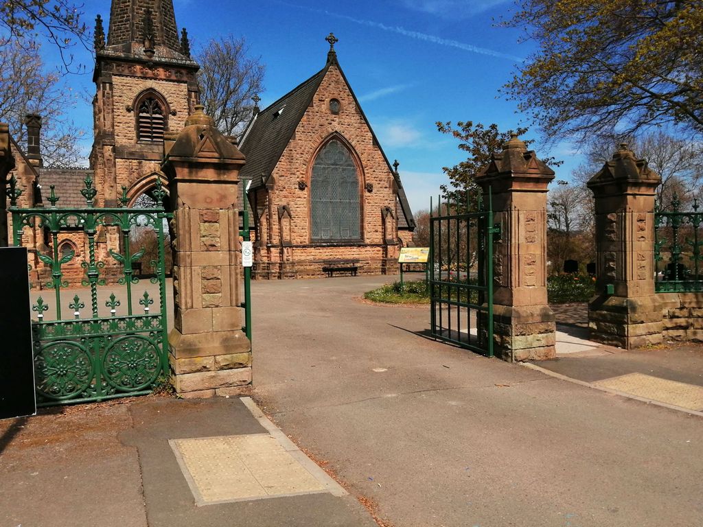
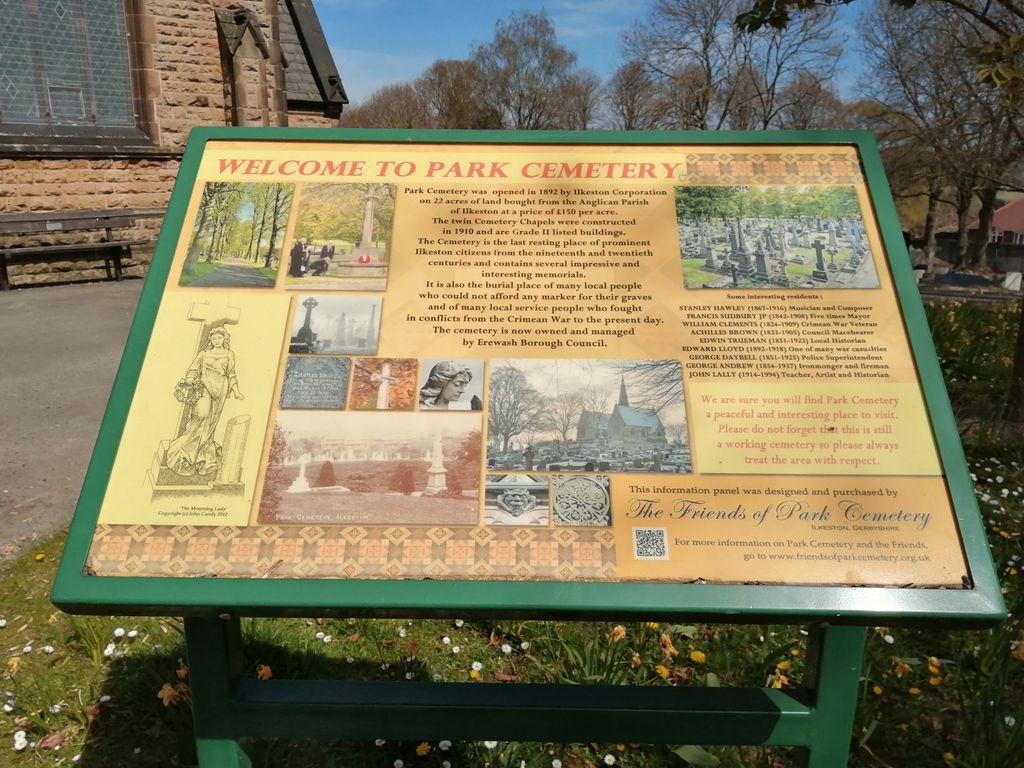
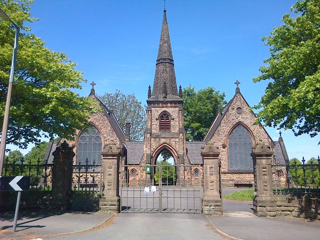
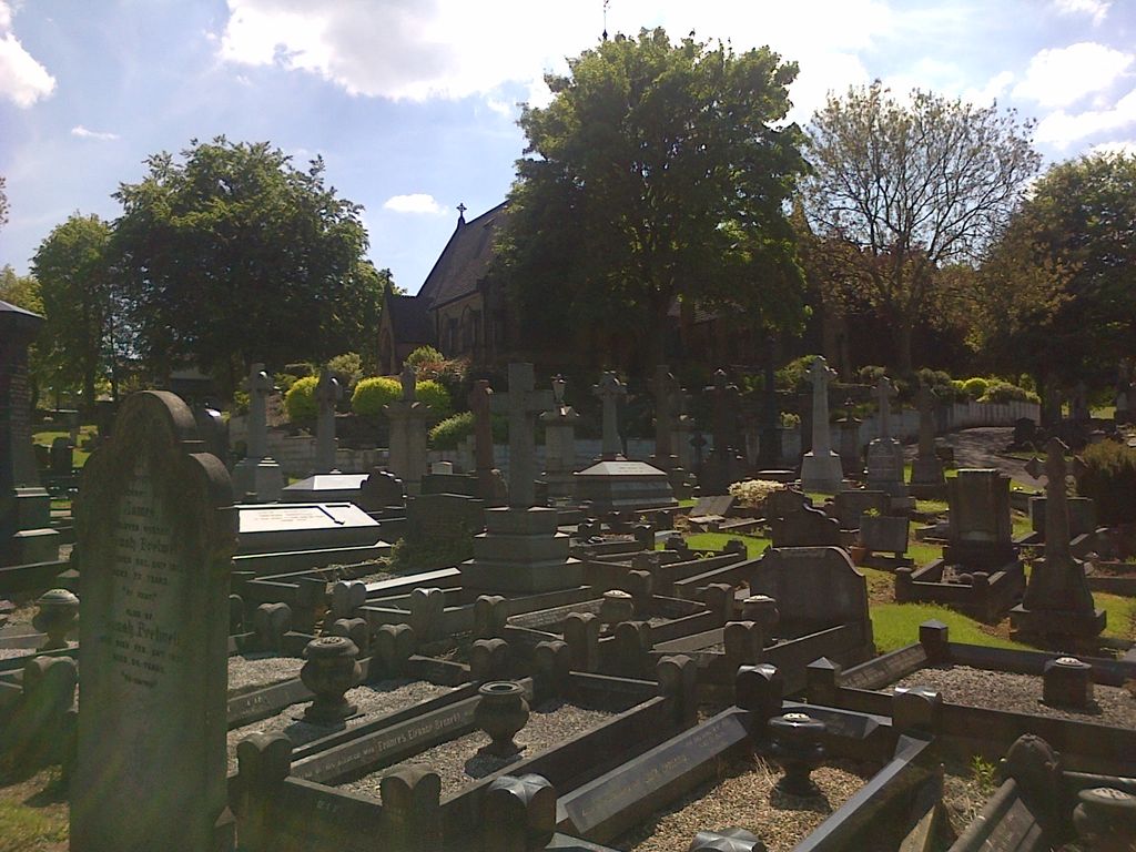
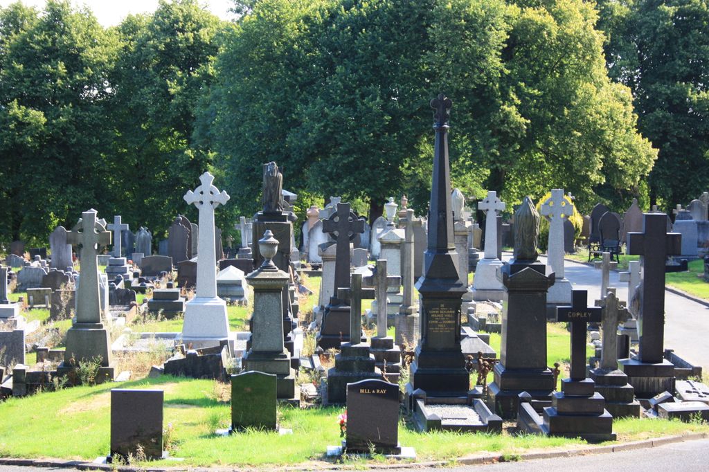
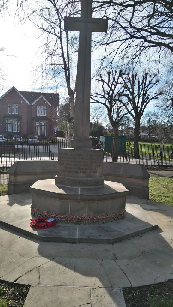
| Description | : | Park Cemetery is the town's municipal cemetery, and is owned and run by Erewash Borough Council. For information about Burial / Plot records Bramcote Crematorium Coventry Lane Bramcote Beeston Nottingham NG9 3GJ Any one wishing to view these documents should telephone on 0115 917 3338 or 0115 917 3630 |
frequently asked questions (FAQ):
-
Where is Park Cemetery?
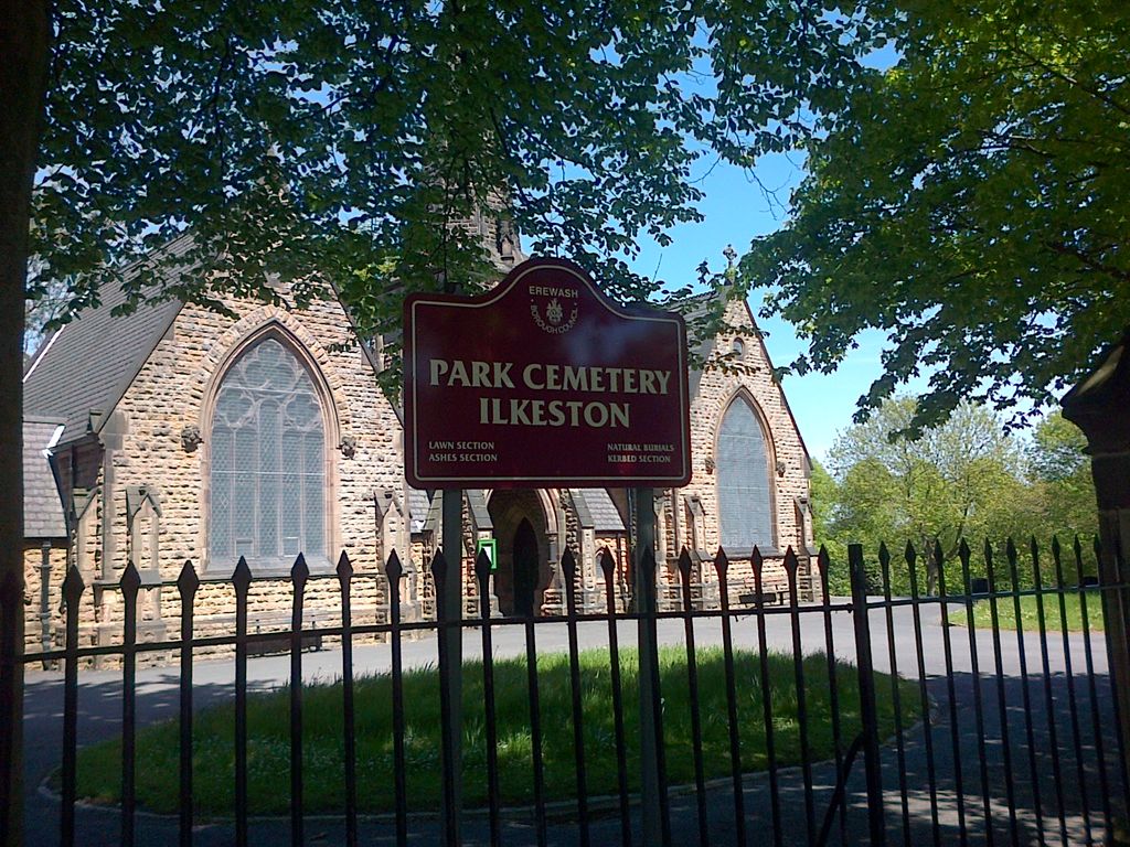
Park Cemetery is located at Cantelupe road Ilkeston, Erewash Borough ,Derbyshire ,England.
-
Park Cemetery cemetery's updated grave count on graveviews.com?
0 memorials
-
Where are the coordinates of the Park Cemetery?
Latitude: 52.9714000
Longitude: -1.3006350
Nearby Cemetories:
1. Ilkeston Stanton Road
Ilkeston, Erewash Borough, England
Coordinate: 52.9645800, -1.3077120
2. All Saints
Kirk Hallam, Erewash Borough, England
Coordinate: 52.9602950, -1.3188150
3. St. Helen's Churchyard
Trowell, Broxtowe Borough, England
Coordinate: 52.9528120, -1.2815590
4. All Saints Church
Strelley, Broxtowe Borough, England
Coordinate: 52.9737900, -1.2470340
5. Holy Trinity Churchyard
Mapperley, Amber Valley Borough, England
Coordinate: 52.9818800, -1.3536800
6. St. Wilfrid Churchyard
West Hallam, Erewash Borough, England
Coordinate: 52.9656640, -1.3579720
7. Bramcote Crematorium
Beeston, Broxtowe Borough, England
Coordinate: 52.9456300, -1.2555100
8. Eastwood Cemetery
Eastwood, Broxtowe Borough, England
Coordinate: 53.0115814, -1.3073300
9. St. Helen's Churchyard
Stapleford, Broxtowe Borough, England
Coordinate: 52.9316670, -1.2744440
10. Stapleford Cemetery
Stapleford, Broxtowe Borough, England
Coordinate: 52.9299770, -1.2699190
11. St. Mary's Churchyard
Eastwood, Broxtowe Borough, England
Coordinate: 53.0166227, -1.3084371
12. Marlpool Municipal Cemetery
Heanor, Amber Valley Borough, England
Coordinate: 53.0082110, -1.3490550
13. St. Andrew's Churchyard
Stanley, Erewash Borough, England
Coordinate: 52.9594760, -1.3772680
14. St. Michael and All Angels Churchyard
Bramcote, Broxtowe Borough, England
Coordinate: 52.9352531, -1.2463690
15. Wollaton Cemetery
Wollaton, Nottingham Unitary Authority, England
Coordinate: 52.9503000, -1.2260800
16. All Saints Churchyard
Stanley Common, Erewash Borough, England
Coordinate: 52.9770772, -1.3834721
17. St. Mary's Churchyard
Greasley, Broxtowe Borough, England
Coordinate: 53.0201100, -1.2720500
18. St. Leonard's Churchyard
Wollaton, Nottingham Unitary Authority, England
Coordinate: 52.9529790, -1.2200830
19. All Saints Risley Churchyard
Risley, Erewash Borough, England
Coordinate: 52.9164000, -1.3158000
20. Beeston Cemetery
Beeston, Broxtowe Borough, England
Coordinate: 52.9354540, -1.2275310
21. St John's Church, Aldercar
Amber Valley Borough, England
Coordinate: 53.0266800, -1.3360000
22. St. John the Baptist Churchyard
Smalley, Amber Valley Borough, England
Coordinate: 52.9930300, -1.3961360
23. Northern Cemetery
Bulwell, Nottingham Unitary Authority, England
Coordinate: 52.9979840, -1.2077900
24. Smalley Baptist Churchyard
Smalley, Amber Valley Borough, England
Coordinate: 52.9968520, -1.3947580