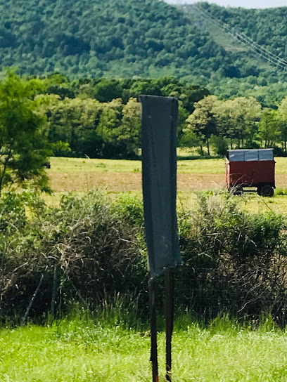
| Memorials | : | 0 |
| Location | : | Metal Township, Franklin County, USA |
| Coordinate | : | 40.1271763, -77.8050054 |
| Description | : | This cemetery is located in an area once referred to as Stony Point, Metal Township, Franklin County, Pennsylvania. The Cemetery is abandoned and located on the East side of the Tuscarora Mountain. Access available only by permission of landowners. |
frequently asked questions (FAQ):
-
Where is Parker Cemetery?
Parker Cemetery is located at Metal Township, Franklin County ,Pennsylvania ,USA.
-
Parker Cemetery cemetery's updated grave count on graveviews.com?
0 memorials
-
Where are the coordinates of the Parker Cemetery?
Latitude: 40.1271763
Longitude: -77.8050054
Nearby Cemetories:
1. Shetler Family Cemetery
Franklin County, USA
Coordinate: 40.1100000, -77.7833000
2. Wiggins Cemetery
Tell Township, Huntingdon County, USA
Coordinate: 40.1346600, -77.7748563
3. Fleming Cemetery
Neelyton, Huntingdon County, USA
Coordinate: 40.1333330, -77.8375000
4. Spring Run Cemetery
Spring Run, Franklin County, USA
Coordinate: 40.1436110, -77.7722220
5. Flickinger Farm Family Cemetery
Franklin County, USA
Coordinate: 40.0927480, -77.8015170
6. Pine Grove Presbyterian Church Cemetery
Neelyton, Huntingdon County, USA
Coordinate: 40.1605400, -77.8170200
7. Path Valley Cemetery
Spring Run, Franklin County, USA
Coordinate: 40.1547012, -77.7658005
8. Evert Farm Family Cemetery
Metal, Franklin County, USA
Coordinate: 40.0794670, -77.7987490
9. Pleasant Hill Cemetery
Shade Gap, Huntingdon County, USA
Coordinate: 40.1425844, -77.8661077
10. Cree Cemetery
Dublin Township, Huntingdon County, USA
Coordinate: 40.0982014, -77.8660481
11. Fannettsburg Reformed Church Cemetery
Fannettsburg, Franklin County, USA
Coordinate: 40.0735000, -77.8277000
12. Fair Ridge Cemetery
Shade Gap, Huntingdon County, USA
Coordinate: 40.1356300, -77.8858200
13. Blair Cemetery
Shade Gap, Huntingdon County, USA
Coordinate: 40.1698800, -77.8655300
14. Possumtown Cemetery
Shade Gap, Huntingdon County, USA
Coordinate: 40.1857900, -77.8498900
15. Shade Gap Presbyterian Church Cemetery
Shade Gap, Huntingdon County, USA
Coordinate: 40.1826400, -77.8624700
16. Salem Cemetery
Tell Township, Huntingdon County, USA
Coordinate: 40.2069400, -77.8099800
17. Lower Path Valley Cemetery
Fannettsburg, Franklin County, USA
Coordinate: 40.0531006, -77.8450012
18. Locke Valley Cemetery
Shade Gap, Huntingdon County, USA
Coordinate: 40.1576600, -77.9068600
19. McMullen Cemetery
Tell Township, Huntingdon County, USA
Coordinate: 40.2108189, -77.8301899
20. Keefers Cemetery
Upper Strasburg, Franklin County, USA
Coordinate: 40.0406550, -77.8079090
21. Burnt Cabins Cemetery
Burnt Cabins, Fulton County, USA
Coordinate: 40.0754000, -77.8963000
22. Horse Valley Cemetery
Franklin County, USA
Coordinate: 40.0386009, -77.8058014
23. New Hope Mennonite Cemetery
Upper Strasburg, Franklin County, USA
Coordinate: 40.0628950, -77.7099840
24. Saint Mary's Catholic Church Cemetery
Shade Gap, Huntingdon County, USA
Coordinate: 40.2062300, -77.8788600

