
| Memorials | : | 0 |
| Location | : | Franklin County, USA |
| Coordinate | : | 40.1100000, -77.7833000 |
frequently asked questions (FAQ):
-
Where is Shetler Family Cemetery?
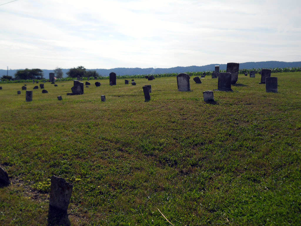
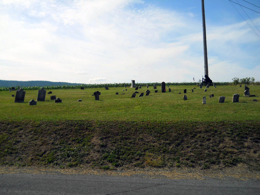
Shetler Family Cemetery is located at Franklin County ,Pennsylvania ,USA.
-
Shetler Family Cemetery cemetery's updated grave count on graveviews.com?
0 memorials
-
Where are the coordinates of the Shetler Family Cemetery?
Latitude: 40.1100000
Longitude: -77.7833000
Nearby Cemetories:
1. Flickinger Farm Family Cemetery
Franklin County, USA
Coordinate: 40.0927480, -77.8015170
2. Parker Cemetery
Metal Township, Franklin County, USA
Coordinate: 40.1271763, -77.8050054
3. Wiggins Cemetery
Tell Township, Huntingdon County, USA
Coordinate: 40.1346600, -77.7748563
4. Evert Farm Family Cemetery
Metal, Franklin County, USA
Coordinate: 40.0794670, -77.7987490
5. Spring Run Cemetery
Spring Run, Franklin County, USA
Coordinate: 40.1436110, -77.7722220
6. Path Valley Cemetery
Spring Run, Franklin County, USA
Coordinate: 40.1547012, -77.7658005
7. Fleming Cemetery
Neelyton, Huntingdon County, USA
Coordinate: 40.1333330, -77.8375000
8. Fannettsburg Reformed Church Cemetery
Fannettsburg, Franklin County, USA
Coordinate: 40.0735000, -77.8277000
9. Pine Grove Presbyterian Church Cemetery
Neelyton, Huntingdon County, USA
Coordinate: 40.1605400, -77.8170200
10. Cree Cemetery
Dublin Township, Huntingdon County, USA
Coordinate: 40.0982014, -77.8660481
11. Pleasant Hill Cemetery
Shade Gap, Huntingdon County, USA
Coordinate: 40.1425844, -77.8661077
12. Keefers Cemetery
Upper Strasburg, Franklin County, USA
Coordinate: 40.0406550, -77.8079090
13. New Hope Mennonite Cemetery
Upper Strasburg, Franklin County, USA
Coordinate: 40.0628950, -77.7099840
14. Horse Valley Cemetery
Franklin County, USA
Coordinate: 40.0386009, -77.8058014
15. Lower Path Valley Cemetery
Fannettsburg, Franklin County, USA
Coordinate: 40.0531006, -77.8450012
16. Upper Strasburg Methodist Church Cemetery
Upper Strasburg, Franklin County, USA
Coordinate: 40.0596000, -77.7105000
17. Emanuel Lutheran Church Cemetery
Upper Strasburg, Franklin County, USA
Coordinate: 40.0587000, -77.7049000
18. Fair Ridge Cemetery
Shade Gap, Huntingdon County, USA
Coordinate: 40.1356300, -77.8858200
19. Blair Cemetery
Shade Gap, Huntingdon County, USA
Coordinate: 40.1698800, -77.8655300
20. Possumtown Cemetery
Shade Gap, Huntingdon County, USA
Coordinate: 40.1857900, -77.8498900
21. Stake Cemetery
Amberson, Franklin County, USA
Coordinate: 40.1610170, -77.6820090
22. Burnt Cabins Cemetery
Burnt Cabins, Fulton County, USA
Coordinate: 40.0754000, -77.8963000
23. Shade Gap Presbyterian Church Cemetery
Shade Gap, Huntingdon County, USA
Coordinate: 40.1826400, -77.8624700
24. Roxbury Union Cemetery
Roxbury, Franklin County, USA
Coordinate: 40.1099200, -77.6593900