
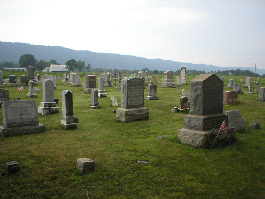
| Memorials | : | 4 |
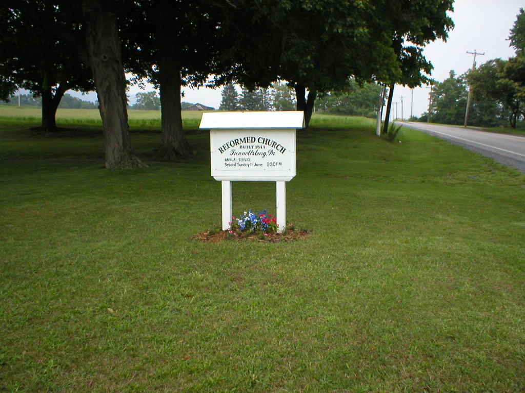
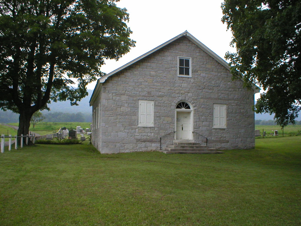
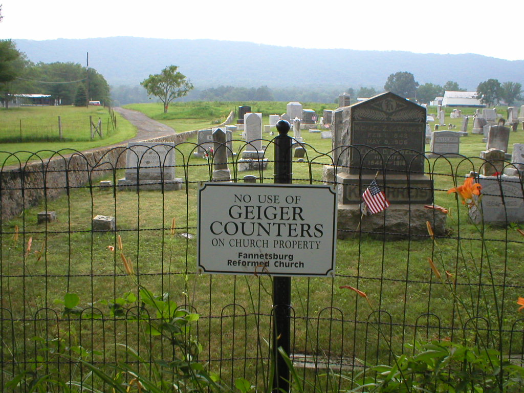
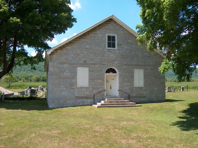
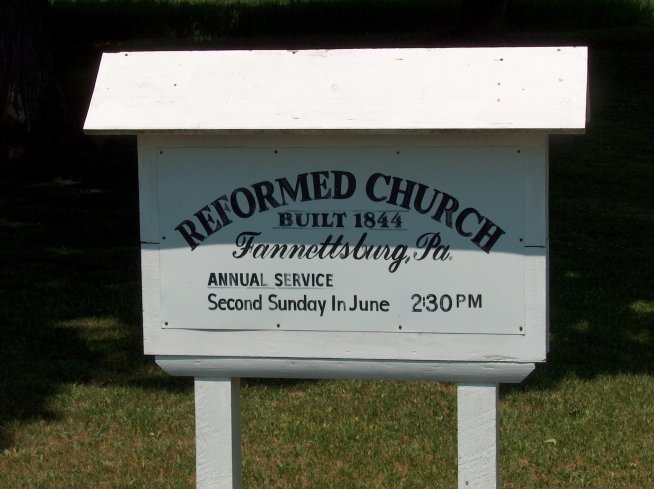
| Location | : | Fannettsburg, Franklin County, USA |
| Coordinate | : | 40.0735000, -77.8277000 |
frequently asked questions (FAQ):
-
Where is Fannettsburg Reformed Church Cemetery?
Fannettsburg Reformed Church Cemetery is located at Fannettsburg, Franklin County ,Pennsylvania ,USA.
-
Fannettsburg Reformed Church Cemetery cemetery's updated grave count on graveviews.com?
4 memorials
-
Where are the coordinates of the Fannettsburg Reformed Church Cemetery?
Latitude: 40.0735000
Longitude: -77.8277000
Nearby Cemetories:
1. Evert Farm Family Cemetery
Metal, Franklin County, USA
Coordinate: 40.0794670, -77.7987490
2. Lower Path Valley Cemetery
Fannettsburg, Franklin County, USA
Coordinate: 40.0531006, -77.8450012
3. Flickinger Farm Family Cemetery
Franklin County, USA
Coordinate: 40.0927480, -77.8015170
4. Keefers Cemetery
Upper Strasburg, Franklin County, USA
Coordinate: 40.0406550, -77.8079090
5. Cree Cemetery
Dublin Township, Huntingdon County, USA
Coordinate: 40.0982014, -77.8660481
6. Horse Valley Cemetery
Franklin County, USA
Coordinate: 40.0386009, -77.8058014
7. Shetler Family Cemetery
Franklin County, USA
Coordinate: 40.1100000, -77.7833000
8. Burnt Cabins Cemetery
Burnt Cabins, Fulton County, USA
Coordinate: 40.0754000, -77.8963000
9. Forrester Family Cemetery
Freestone, Franklin County, USA
Coordinate: 40.0172290, -77.8317830
10. Parker Cemetery
Metal Township, Franklin County, USA
Coordinate: 40.1271763, -77.8050054
11. Metal Methodist Cemetery
Metal, Franklin County, USA
Coordinate: 40.0240000, -77.8725000
12. Fleming Cemetery
Neelyton, Huntingdon County, USA
Coordinate: 40.1333330, -77.8375000
13. Wright Farm Family Cemetery
Metal, Franklin County, USA
Coordinate: 40.0213364, -77.8832249
14. Carrick United Methodist Church Cemetery
Metal, Franklin County, USA
Coordinate: 40.0151850, -77.8783810
15. Wiggins Cemetery
Tell Township, Huntingdon County, USA
Coordinate: 40.1346600, -77.7748563
16. Pleasant Hill Cemetery
Shade Gap, Huntingdon County, USA
Coordinate: 40.1425844, -77.8661077
17. Fair Ridge Cemetery
Shade Gap, Huntingdon County, USA
Coordinate: 40.1356300, -77.8858200
18. Spring Run Cemetery
Spring Run, Franklin County, USA
Coordinate: 40.1436110, -77.7722220
19. Zion United Brethren Cemetery
Upper Strasburg, Franklin County, USA
Coordinate: 39.9909670, -77.8514330
20. Zion United Brethren Cemetery
Saint Thomas, Franklin County, USA
Coordinate: 39.9909893, -77.8516591
21. Pine Grove Presbyterian Church Cemetery
Neelyton, Huntingdon County, USA
Coordinate: 40.1605400, -77.8170200
22. New Hope Mennonite Cemetery
Upper Strasburg, Franklin County, USA
Coordinate: 40.0628950, -77.7099840
23. Upper Strasburg Methodist Church Cemetery
Upper Strasburg, Franklin County, USA
Coordinate: 40.0596000, -77.7105000
24. Path Valley Cemetery
Spring Run, Franklin County, USA
Coordinate: 40.1547012, -77.7658005