
| Memorials | : | 0 |
| Location | : | Raleigh, Smith County, USA |
| Coordinate | : | 32.0145490, -89.5891550 |
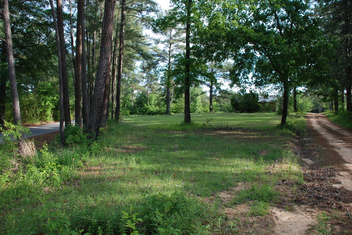
| Description | : | From Raleigh, MS take Hwy 540 west about 4 miles. Turn left on county road 540-2. Cemetery was located on top of small elevation on right side of road, about .5 miles south of Salem Church. Section 16, Township 2N, Range 7E. This cemetery is now located under the house at 2768 Smith County Road 540-2. No trace of any graves as of 1968, according to Smith County Mississippi Cemeteries 2008 edition. |
frequently asked questions (FAQ):
-
Where is Pauper Cemetery?
Pauper Cemetery is located at Raleigh, Smith County ,Mississippi ,USA.
-
Pauper Cemetery cemetery's updated grave count on graveviews.com?
0 memorials
-
Where are the coordinates of the Pauper Cemetery?
Latitude: 32.0145490
Longitude: -89.5891550
Nearby Cemetories:
1. Crossroads Holiness Church Cemetery
Raleigh, Smith County, USA
Coordinate: 32.0237000, -89.6119300
2. Corinth Baptist Church Cemetery
Raleigh, Smith County, USA
Coordinate: 32.0265100, -89.5593900
3. Easterling Cemetery
Raleigh, Smith County, USA
Coordinate: 32.0045300, -89.5485500
4. Wilkinson Memorial Baptist Cemetery
Raleigh, Smith County, USA
Coordinate: 31.9817700, -89.5653800
5. Pleasant Hill Baptist Church Cemetery
Raleigh, Smith County, USA
Coordinate: 32.0127300, -89.6373700
6. Merchant Cemetery
Smith County, USA
Coordinate: 32.0335999, -89.6472015
7. Raleigh Cemetery
Raleigh, Smith County, USA
Coordinate: 32.0308500, -89.5229600
8. North Raleigh Cemetery
Raleigh, Smith County, USA
Coordinate: 32.0432140, -89.5222230
9. Union Baptist Church Cemetery
Raleigh, Smith County, USA
Coordinate: 31.9799600, -89.5219900
10. Mount Pisgah Cemetery
Raleigh, Smith County, USA
Coordinate: 32.0589300, -89.5261100
11. Lewis Harper Cemetery
Raleigh, Smith County, USA
Coordinate: 32.0396800, -89.5115600
12. Rocky Hill Baptist Church Cemetery
Smith County, USA
Coordinate: 31.9657100, -89.6490800
13. Craft Cemetery
Smith County, USA
Coordinate: 32.0774994, -89.5460968
14. Eastside Baptist Church Cemetery
Raleigh, Smith County, USA
Coordinate: 32.0360600, -89.5063500
15. Butler Cemetery
Mize, Smith County, USA
Coordinate: 31.9407280, -89.5959160
16. Turner Chapel Cemetery
Raleigh, Smith County, USA
Coordinate: 32.0474700, -89.5075300
17. South Raleigh Christian Cemetery
Mize, Smith County, USA
Coordinate: 31.9650100, -89.5195300
18. Tillson Cemetery
Mize, Smith County, USA
Coordinate: 31.9655800, -89.5187300
19. Sharon Baptist Church Cemetery
Raleigh, Smith County, USA
Coordinate: 32.0909100, -89.5740800
20. McAlpin Cemetery
Raleigh, Smith County, USA
Coordinate: 31.9644900, -89.5182000
21. Gordan Cemetery
Raleigh, Smith County, USA
Coordinate: 32.0950012, -89.5935974
22. Myers Cemetery
Raleigh, Smith County, USA
Coordinate: 32.0950012, -89.5730972
23. Butler Cemetery
Simpson County, USA
Coordinate: 31.9549256, -89.6573443
24. Boykin Church Cemetery
Raleigh, Smith County, USA
Coordinate: 32.0985177, -89.5898151