| Memorials | : | 17 |
| Location | : | Pitt Island, Chatham Islands Unitary Authority, New Zealand |
| Coordinate | : | -44.2666660, -176.2400000 |
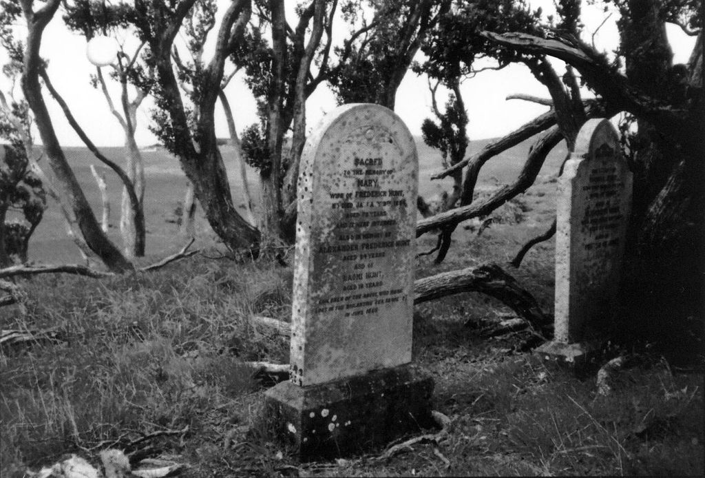
| Description | : | Pitt Island Cemetery overlooking Waihere Bay, Chattam Islands, NZ |
frequently asked questions (FAQ):
-
Where is Pitt Island?
Pitt Island is located at Pitt Island, Chatham Islands Unitary Authority ,Chatham Islands Territory ,New Zealand.
-
Pitt Island cemetery's updated grave count on graveviews.com?
17 memorials
-
Where are the coordinates of the Pitt Island?
Latitude: -44.2666660
Longitude: -176.2400000
Nearby Cemetories:
1. Mangaoranga Eketahuna Cemetery
Eketahuna, Tararua District, New Zealand
Coordinate: -40.6592570, -175.7095200
2. Castlepoint Cemetery
Masterton, Masterton District, New Zealand
Coordinate: -40.8972060, 176.2189360
3. Taupare Urupā
Homewood, Masterton District, New Zealand
Coordinate: -41.1717200, 175.9813100
4. Wainui Cemetery
Herbertville, Tararua District, New Zealand
Coordinate: -40.5066410, 176.5331160
5. Crispin Grove Cemetery
Herbertville, Tararua District, New Zealand
Coordinate: -40.4650000, 176.5550000
6. Akitio Station Cemetery
Akitio, Tararua District, New Zealand
Coordinate: -40.5936554, 176.4251922
7. Owananga Station Cemetery
Pongaroa, Tararua District, New Zealand
Coordinate: -40.6692650, 176.3413350
8. Tinui Cemetery
Masterton, Masterton District, New Zealand
Coordinate: -40.8714040, 176.0976860
9. Pourerere Station Cemetery
Pourerere, Central Hawke's Bay District, New Zealand
Coordinate: -40.0955450, 176.8649650
10. Waipuna Urupā
Porangahau, Central Hawke's Bay District, New Zealand
Coordinate: -40.3104480, 176.6227650
11. Pokakanui Urupā
Porangahau, Central Hawke's Bay District, New Zealand
Coordinate: -40.3190660, 176.5985750
12. St Michael & All Angel's Anglican Church Cemetery
Porangahau, Central Hawke's Bay District, New Zealand
Coordinate: -40.3022980, 176.6154250
13. Kaiwhitikitiki Urupā
Porangahau, Central Hawke's Bay District, New Zealand
Coordinate: -40.3064010, 176.6087780
14. Pongaroa cemetery
Pahiatua, Tararua District, New Zealand
Coordinate: -40.5448890, 176.1975300
15. Waimarama Cemetery
Waimarama, Hastings District, New Zealand
Coordinate: -39.8070690, 176.9870000
16. Weber Cemetery
Dannevirke, Tararua District, New Zealand
Coordinate: -40.4011600, 176.3112550
17. Church of St Francis of Assisi
Bideford, Masterton District, New Zealand
Coordinate: -40.8592400, 175.8714600
18. Kaiuku Marae Urupā
Mahia, Wairoa District, New Zealand
Coordinate: -39.0956100, 177.9460200
19. Waipopo Urupā
Masterton, Masterton District, New Zealand
Coordinate: -41.0696370, 175.6604430
20. Waipoapoa Urupa
Hastings, Hastings District, New Zealand
Coordinate: -41.0696050, 175.6604650
21. Gladstone Church Cemetery
Gladstone, Carterton District, New Zealand
Coordinate: -41.0883600, 175.6432100
22. Hamuera Urupā
Masterton District, New Zealand
Coordinate: -41.0374980, 175.6611940
23. Kaiuku Marae Urupā
Mahia, Wairoa District, New Zealand
Coordinate: -39.0823112, 177.9086516
24. Hurunui-o-rangi
Masterton, Masterton District, New Zealand
Coordinate: -41.0709670, 175.6200720

