
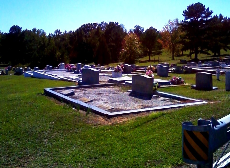
| Memorials | : | 1 |
| Location | : | Broughton, Randolph County, USA |
| Coordinate | : | 33.1826700, -85.4420100 |
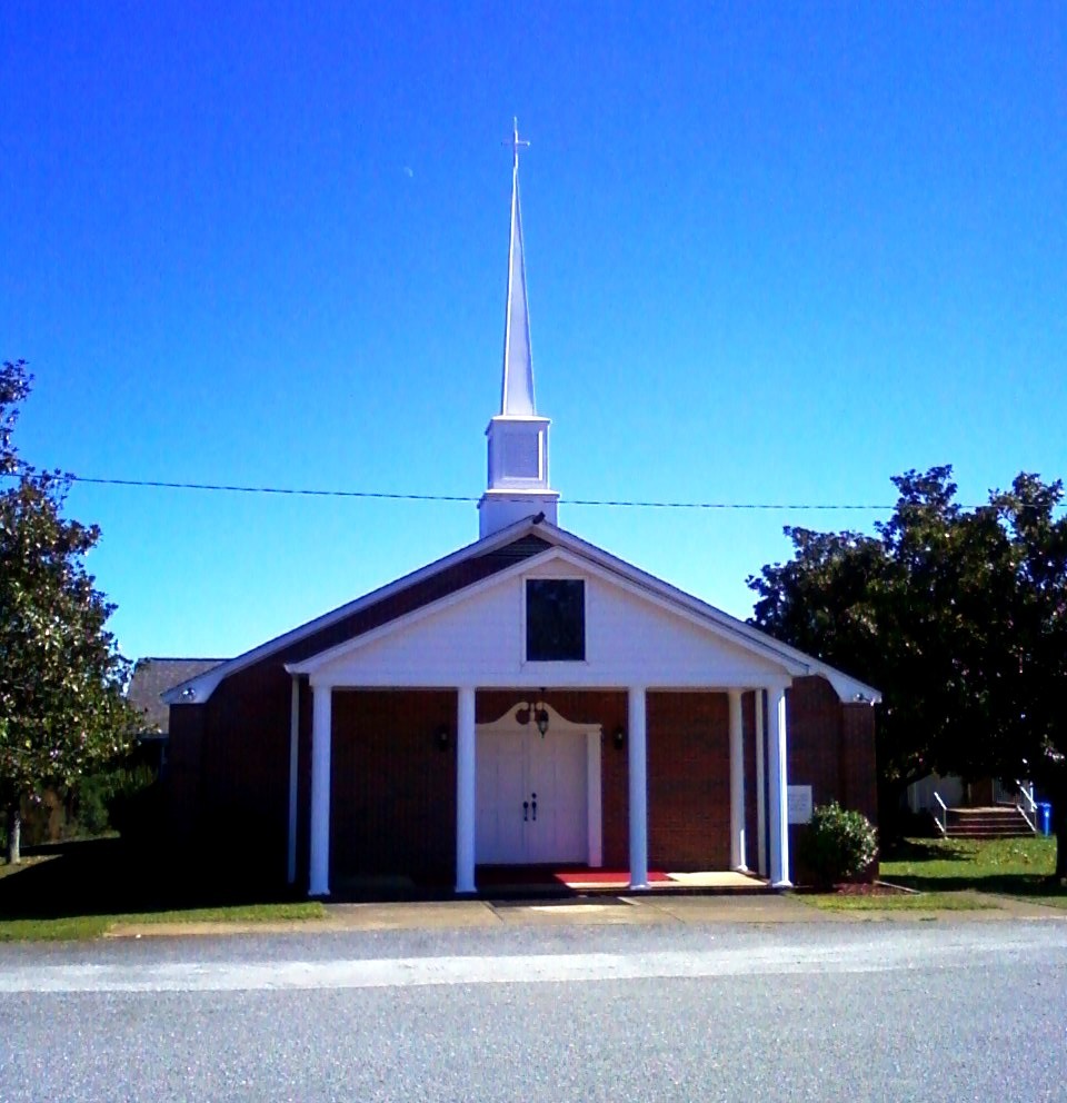
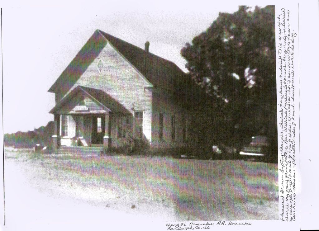
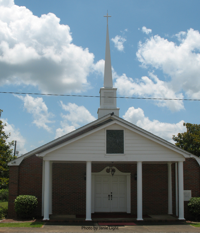
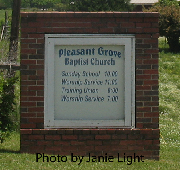
| Description | : | This church was torn down after the new/current church was built. Rev. William McCarter pastored this church and is buried where the pulpit of this or a previous church once stood. |
frequently asked questions (FAQ):
-
Where is Pleasant Grove Baptist Church Cemetery?
Pleasant Grove Baptist Church Cemetery is located at 3085 County Road 26 Broughton, Randolph County ,Alabama ,USA.
-
Pleasant Grove Baptist Church Cemetery cemetery's updated grave count on graveviews.com?
1 memorials
-
Where are the coordinates of the Pleasant Grove Baptist Church Cemetery?
Latitude: 33.1826700
Longitude: -85.4420100
Nearby Cemetories:
1. Rocky Mount United Methodist Church Cemetery
Roanoke, Randolph County, USA
Coordinate: 33.1880480, -85.4416230
2. Union Hill Baptist Church Cemetery
Roanoke, Randolph County, USA
Coordinate: 33.1893010, -85.4031770
3. Rock Springs Cemetery
Roanoke, Randolph County, USA
Coordinate: 33.2221800, -85.4563210
4. Radneys Chapel Cemetery
Peavy, Randolph County, USA
Coordinate: 33.1410590, -85.4559300
5. Kidd Family Cemetery
Randolph County, USA
Coordinate: 33.2061610, -85.4902840
6. Mount Zion Christian Church Cemetery
Randolph County, USA
Coordinate: 33.1361850, -85.4246100
7. Mount Pisgah Baptist Church Cemetery
Roanoke, Randolph County, USA
Coordinate: 33.1592510, -85.3901760
8. Rock Stand Congregational Christian Church Cemeter
Roanoke, Randolph County, USA
Coordinate: 33.2242350, -85.4084310
9. Zion's Rest Primitive Baptist Church Cemetery
Roanoke, Randolph County, USA
Coordinate: 33.2024250, -85.3797090
10. High Pine Baptist Church Cemetery
Roanoke, Randolph County, USA
Coordinate: 33.1243210, -85.4435370
11. Macedonia Baptist Church Cemetery
Forester Chapel, Randolph County, USA
Coordinate: 33.1847770, -85.5173410
12. Mount Bethel United Methodist Church Cemetery
Roanoke, Randolph County, USA
Coordinate: 33.1281290, -85.3992600
13. Roanoke Baptist Church Cemetery
Roanoke, Randolph County, USA
Coordinate: 33.1506600, -85.3730260
14. Cedarwood Cemetery
Roanoke, Randolph County, USA
Coordinate: 33.1519012, -85.3681030
15. Peace and Goodwill Baptist Church Cemetery
Randolph County, USA
Coordinate: 33.1240270, -85.3954800
16. Bethlehem Primitive Baptist Church Cemetery
Level Road, Randolph County, USA
Coordinate: 33.1957300, -85.5278830
17. East Roanoke Cemetery
Roanoke, Randolph County, USA
Coordinate: 33.1432991, -85.3644028
18. Booger Hill Cemetery
Roanoke, Randolph County, USA
Coordinate: 33.1481018, -85.3610992
19. Macedonia Cemetery
Roanoke, Randolph County, USA
Coordinate: 33.1802040, -85.3505050
20. Lebanon Christian Church Cemetery
Springfield, Randolph County, USA
Coordinate: 33.1897400, -85.3500700
21. Friendship Christian Cemetery
Roanoke, Randolph County, USA
Coordinate: 33.2585810, -85.4187610
22. Forresters Chapel Church Cemetery
Randolph County, USA
Coordinate: 33.1620160, -85.5383900
23. Mount Pisgah Methodist Church Cemetery
Randolph County, USA
Coordinate: 33.2616997, -85.4942017
24. Center Chapel Baptist Church Cemetery
Randolph County, USA
Coordinate: 33.1735460, -85.3333320