
| Memorials | : | 0 |
| Location | : | Poederoijen, Zaltbommel Municipality, Netherlands |
| Coordinate | : | 51.7861200, 5.0784600 |
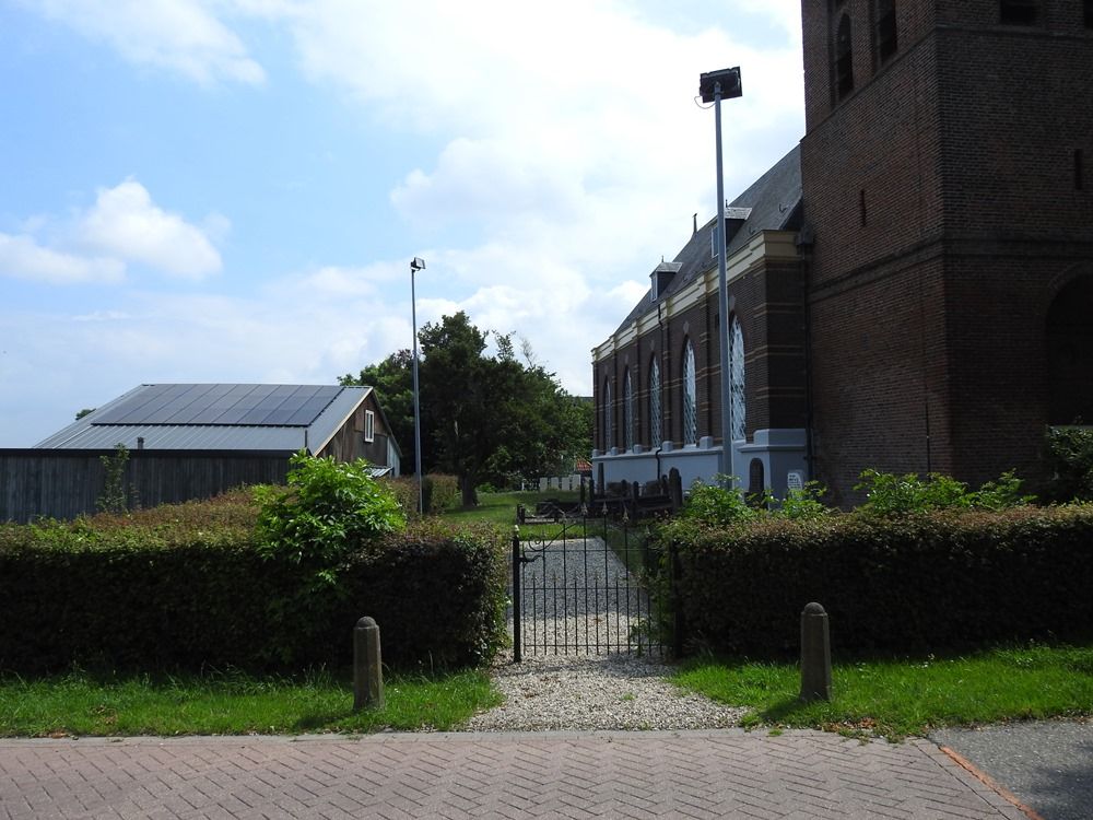
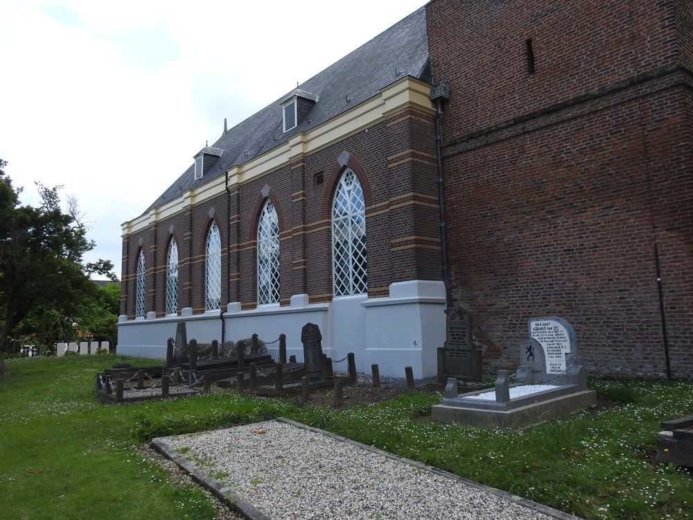
| Description | : | Poederoijen is a village 10 kilometres south-east of Gorinchem, which is on the Breda - Utrecht road. From the Breda - Utrecht road, the N322, turn off in the direction of Poederoijen and continue along this road, the Burgermeesterpostweg, into the village. The church and cemetery are at the end of the road on the right. |
frequently asked questions (FAQ):
-
Where is Poederoijen Protestant Churchyard?
Poederoijen Protestant Churchyard is located at Poederoijen, Zaltbommel Municipality ,Gelderland ,Netherlands.
-
Poederoijen Protestant Churchyard cemetery's updated grave count on graveviews.com?
0 memorials
-
Where are the coordinates of the Poederoijen Protestant Churchyard?
Latitude: 51.7861200
Longitude: 5.0784600
Nearby Cemetories:
1. Andel oude Nederlands Hervormde begraafplaats
Andel, Woudrichem Municipality, Netherlands
Coordinate: 51.7838700, 5.0537100
2. Veen Nederlands Hervormd Cemetery
Veen, Aalburg Municipality, Netherlands
Coordinate: 51.7797400, 5.1072100
3. Giessen Nederlands Hervormd Cemetery
Giessen, Woudrichem Municipality, Netherlands
Coordinate: 51.7924700, 5.0370100
4. Wijk-en-Aalburg General Cemetery
Wijk en Aalburg, Aalburg Municipality, Netherlands
Coordinate: 51.7587900, 5.1168100
5. Zuilichem General Cemetery
Zuilichem, Zaltbommel Municipality, Netherlands
Coordinate: 51.8060400, 5.1354500
6. Begraafplaats woudrichem
Woudrichem Municipality, Netherlands
Coordinate: 51.8142805, 4.9994250
7. Joodse Begraafplaats
Heesbeen, Heusden Municipality, Netherlands
Coordinate: 51.7358060, 5.1302780
8. Heesbeen Protestant Churchyard
Heesbeen, Heusden Municipality, Netherlands
Coordinate: 51.7297500, 5.1197600
9. Heusden Oudheusden Protestant Cemetery
Heusden, Heusden Municipality, Netherlands
Coordinate: 51.7279100, 5.1348900
10. Heusden Buytenhove Algemene Begraafplaats
Heusden, Heusden Municipality, Netherlands
Coordinate: 51.7323600, 5.1485200
11. Gorinchem Old General Cemetery
Gorinchem, Gorinchem Municipality, Netherlands
Coordinate: 51.8379600, 4.9786700
12. Algemene Begraafplaats Haaften
Haaften, Neerijnen Municipality, Netherlands
Coordinate: 51.8186100, 5.2134100
13. Begraafplaats Bruchem
Bruchem, Zaltbommel Municipality, Netherlands
Coordinate: 51.7833840, 5.2255020
14. Elshout Roman Catholic Churchyard
Elshout, Heusden Municipality, Netherlands
Coordinate: 51.7004700, 5.1364900
15. St. Johannes Roman Catholic Churchyard
Waalwijk, Waalwijk Municipality, Netherlands
Coordinate: 51.6894300, 5.0676600
16. Algemene Begraafplaats
Leerdam, Leerdam Municipality, Netherlands
Coordinate: 51.8865484, 5.0789400
17. Joodse Begraafplaats Asperen
Asperen, Lingewaal Municipality, Netherlands
Coordinate: 51.8870200, 5.1013500
18. Drunen Roman Catholic Cemetery
Drunen, Heusden Municipality, Netherlands
Coordinate: 51.6885800, 5.1295700
19. Haarsteeg Roman Catholic Cemetery
Haarsteeg, Heusden Municipality, Netherlands
Coordinate: 51.7107300, 5.1983600
20. Joodse Begraafplaats Maarten van Rossumsingel
Zaltbommel Municipality, Netherlands
Coordinate: 51.8084430, 5.2469290
21. Rooms Katholieke Begraafplaats St. Barbera
Leerdam Municipality, Netherlands
Coordinate: 51.8934994, 5.1083541
22. Zaltbommel General Cemetery
Zaltbommel, Zaltbommel Municipality, Netherlands
Coordinate: 51.8105900, 5.2509500
23. Joodse Begraafplaats Bossche Poort
Zaltbommel Municipality, Netherlands
Coordinate: 51.8104310, 5.2514020
24. Joodse Begraafplaats
Werkendam Municipality, Netherlands
Coordinate: 51.8072500, 4.9043100