
| Memorials | : | 0 |
| Location | : | Waalwijk, Waalwijk Municipality, Netherlands |
| Coordinate | : | 51.6894300, 5.0676600 |
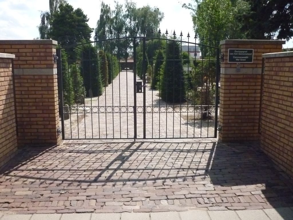
| Description | : | Waalwijk is situated 16 kilometres west of 'S-Hertogenbosch, on the road to Raamsdonksveer. The church of St. Johannes is in the centre of the town opposite the Gemeente House. |
frequently asked questions (FAQ):
-
Where is St. Johannes Roman Catholic Churchyard?
St. Johannes Roman Catholic Churchyard is located at Waalwijk, Waalwijk Municipality ,Noord-Brabant ,Netherlands.
-
St. Johannes Roman Catholic Churchyard cemetery's updated grave count on graveviews.com?
0 memorials
-
Where are the coordinates of the St. Johannes Roman Catholic Churchyard?
Latitude: 51.6894300
Longitude: 5.0676600
Nearby Cemetories:
1. Kaatsheuvel Sint-Jozef Kerkhof
Kaatsheuvel, Loon op Zand Municipality, Netherlands
Coordinate: 51.6570600, 5.0470500
2. Drunen Roman Catholic Cemetery
Drunen, Heusden Municipality, Netherlands
Coordinate: 51.6885800, 5.1295700
3. Loonschedijk Protestant Cemetery
Loon op Zand, Loon op Zand Municipality, Netherlands
Coordinate: 51.6700400, 5.0130500
4. Elshout Roman Catholic Churchyard
Elshout, Heusden Municipality, Netherlands
Coordinate: 51.7004700, 5.1364900
5. Heesbeen Protestant Churchyard
Heesbeen, Heusden Municipality, Netherlands
Coordinate: 51.7297500, 5.1197600
6. Heusden Oudheusden Protestant Cemetery
Heusden, Heusden Municipality, Netherlands
Coordinate: 51.7279100, 5.1348900
7. Joodse Begraafplaats
Heesbeen, Heusden Municipality, Netherlands
Coordinate: 51.7358060, 5.1302780
8. Heusden Buytenhove Algemene Begraafplaats
Heusden, Heusden Municipality, Netherlands
Coordinate: 51.7323600, 5.1485200
9. St. Theresia van Lisieux Cemetery
Waspik-Boven, Waalwijk Municipality, Netherlands
Coordinate: 51.6757453, 4.9602146
10. Waspik Protestant Churchyard
Waspik, Waalwijk Municipality, Netherlands
Coordinate: 51.6878900, 4.9465900
11. St. Bartholomeuskerk Cemetery
Waspik, Waalwijk Municipality, Netherlands
Coordinate: 51.6863970, 4.9465918
12. Wijk-en-Aalburg General Cemetery
Wijk en Aalburg, Aalburg Municipality, Netherlands
Coordinate: 51.7587900, 5.1168100
13. Nieuwkuijk Algemene Begraafplaats Onsenoort
Nieuwkuijk, Heusden Municipality, Netherlands
Coordinate: 51.6974300, 5.1895300
14. de Roonlaan Cemetery
Waspik, Waalwijk Municipality, Netherlands
Coordinate: 51.6924608, 4.9421490
15. Haarsteeg Roman Catholic Cemetery
Haarsteeg, Heusden Municipality, Netherlands
Coordinate: 51.7107300, 5.1983600
16. Udenhout Roman Catholic Churchyard
Udenhout, Tilburg Municipality, Netherlands
Coordinate: 51.6106700, 5.1412200
17. Veen Nederlands Hervormd Cemetery
Veen, Aalburg Municipality, Netherlands
Coordinate: 51.7797400, 5.1072100
18. Andel oude Nederlands Hervormde begraafplaats
Andel, Woudrichem Municipality, Netherlands
Coordinate: 51.7838700, 5.0537100
19. Biezenmortel Roman Catholic Cemetery
Biezenmortel, Haaren Municipality, Netherlands
Coordinate: 51.6241100, 5.1786400
20. Vlijmen Roman Catholic Churchyard
Vlijmen, Heusden Municipality, Netherlands
Coordinate: 51.6969200, 5.2231100
21. Poederoijen Protestant Churchyard
Poederoijen, Zaltbommel Municipality, Netherlands
Coordinate: 51.7861200, 5.0784600
22. Dongen Roman Catholic Cemetery
Dongen, Dongen Municipality, Netherlands
Coordinate: 51.6323900, 4.9389800
23. Raamsdonk Roman Catholic Cemetery
Raamsdonk, Geertruidenberg Municipality, Netherlands
Coordinate: 51.6875200, 4.9059100
24. Giessen Nederlands Hervormd Cemetery
Giessen, Woudrichem Municipality, Netherlands
Coordinate: 51.7924700, 5.0370100