
| Memorials | : | 0 |
| Location | : | Gorinchem, Gorinchem Municipality, Netherlands |
| Coordinate | : | 51.8379600, 4.9786700 |
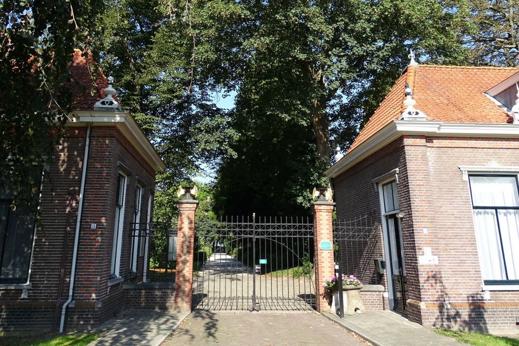
| Description | : | Gorinchem is a town in the province of South Holland lying 27 kilometres east of Dordrecht, 34 kilometres north-north-east of Breda and about the same distance south-south-west of Utrecht. The cemetery is on the northern outskirts of the town in a road known as Vriesrobbeweg, which is east of, and parallel to, the main road to Utrecht. |
frequently asked questions (FAQ):
-
Where is Gorinchem Old General Cemetery?
Gorinchem Old General Cemetery is located at Gorinchem, Gorinchem Municipality ,Zuid-Holland ,Netherlands.
-
Gorinchem Old General Cemetery cemetery's updated grave count on graveviews.com?
0 memorials
-
Where are the coordinates of the Gorinchem Old General Cemetery?
Latitude: 51.8379600
Longitude: 4.9786700
Nearby Cemetories:
1. Begraafplaats woudrichem
Woudrichem Municipality, Netherlands
Coordinate: 51.8142805, 4.9994250
2. Joodse Begraafplaats
Werkendam Municipality, Netherlands
Coordinate: 51.8072500, 4.9043100
3. Werkendam Protestant Cemetery
Werkendam, Werkendam Municipality, Netherlands
Coordinate: 51.8129300, 4.8963800
4. Boven Hardinxveld General Cemetery
Boven-Hardinxveld, Hardinxveld-Giessendam Municipality, Netherlands
Coordinate: 51.8268800, 4.8873100
5. Giessen Nederlands Hervormd Cemetery
Giessen, Woudrichem Municipality, Netherlands
Coordinate: 51.7924700, 5.0370100
6. Giessen-Oudekerk Churchyard
Giessen-Oudekerk, Giessenlanden Municipality, Netherlands
Coordinate: 51.8453275, 4.8658347
7. Begraafplaats Noordeloos
Noordeloos, Giessenlanden Municipality, Netherlands
Coordinate: 51.9050436, 4.9412288
8. Andel oude Nederlands Hervormde begraafplaats
Andel, Woudrichem Municipality, Netherlands
Coordinate: 51.7838700, 5.0537100
9. Algemene Begraafplaats
Leerdam, Leerdam Municipality, Netherlands
Coordinate: 51.8865484, 5.0789400
10. Poederoijen Protestant Churchyard
Poederoijen, Zaltbommel Municipality, Netherlands
Coordinate: 51.7861200, 5.0784600
11. Begraafplaats Ottoland
Ottoland, Molenwaard Municipality, Netherlands
Coordinate: 51.8932730, 4.8735990
12. Goudriaan Algemene Begraafplaats
Goudriaan, Molenwaard Municipality, Netherlands
Coordinate: 51.9036512, 4.8883253
13. Algemene Begraafplaats Neder Hardinxveld
Neder-Hardinxveld, Hardinxveld-Giessendam Municipality, Netherlands
Coordinate: 51.8278580, 4.8369950
14. Joodse Begraafplaats Asperen
Asperen, Lingewaal Municipality, Netherlands
Coordinate: 51.8870200, 5.1013500
15. Rooms Katholieke Begraafplaats St. Barbera
Leerdam Municipality, Netherlands
Coordinate: 51.8934994, 5.1083541
16. Veen Nederlands Hervormd Cemetery
Veen, Aalburg Municipality, Netherlands
Coordinate: 51.7797400, 5.1072100
17. Zuilichem General Cemetery
Zuilichem, Zaltbommel Municipality, Netherlands
Coordinate: 51.8060400, 5.1354500
18. Molenaarsgraaf Protestant Churchyard
Molenaarsgraaf, Molenwaard Municipality, Netherlands
Coordinate: 51.8752300, 4.8183800
19. Ameide Nieuwe Begraafplaats
Ameide, Zederik Municipality, Netherlands
Coordinate: 51.9493470, 4.9665220
20. Willige-Langerak Churchyard
Willige Langerak, Krimpenerwaard Municipality, Netherlands
Coordinate: 51.9355100, 4.8829800
21. R.K.Kerkhof O.L.V. Onbevlekt Ontvangen
Hank, Werkendam Municipality, Netherlands
Coordinate: 51.7352615, 4.8947027
22. Wijk-en-Aalburg General Cemetery
Wijk en Aalburg, Aalburg Municipality, Netherlands
Coordinate: 51.7587900, 5.1168100
23. Algemene Begraafplaats
Nieuwpoort, Molenwaard Municipality, Netherlands
Coordinate: 51.9333740, 4.8683760
24. Heicop General Cemetery
Hei- en Boeicop, Zederik Municipality, Netherlands
Coordinate: 51.9478600, 5.0672500