
| Memorials | : | 0 |
| Location | : | Wijk en Aalburg, Aalburg Municipality, Netherlands |
| Coordinate | : | 51.7587900, 5.1168100 |
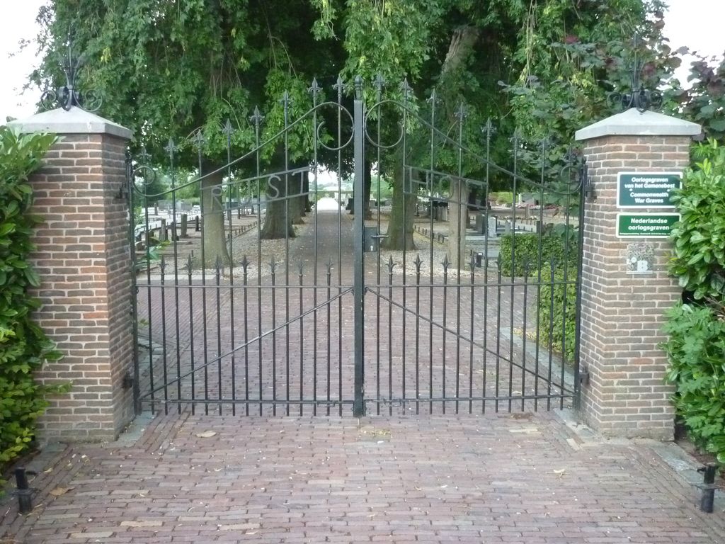
| Description | : | Wijk-en-Aalburg is a small village 13 kilometres south-east of Gorinchem, and 16 kilometres north-west of 's-Hertogenbosch. The cemetery is 1 kilometre west of the village centre and the church. |
frequently asked questions (FAQ):
-
Where is Wijk-en-Aalburg General Cemetery?
Wijk-en-Aalburg General Cemetery is located at Wijk en Aalburg, Aalburg Municipality ,Noord-Brabant ,Netherlands.
-
Wijk-en-Aalburg General Cemetery cemetery's updated grave count on graveviews.com?
0 memorials
-
Where are the coordinates of the Wijk-en-Aalburg General Cemetery?
Latitude: 51.7587900
Longitude: 5.1168100
Nearby Cemetories:
1. Veen Nederlands Hervormd Cemetery
Veen, Aalburg Municipality, Netherlands
Coordinate: 51.7797400, 5.1072100
2. Joodse Begraafplaats
Heesbeen, Heusden Municipality, Netherlands
Coordinate: 51.7358060, 5.1302780
3. Heesbeen Protestant Churchyard
Heesbeen, Heusden Municipality, Netherlands
Coordinate: 51.7297500, 5.1197600
4. Heusden Oudheusden Protestant Cemetery
Heusden, Heusden Municipality, Netherlands
Coordinate: 51.7279100, 5.1348900
5. Heusden Buytenhove Algemene Begraafplaats
Heusden, Heusden Municipality, Netherlands
Coordinate: 51.7323600, 5.1485200
6. Poederoijen Protestant Churchyard
Poederoijen, Zaltbommel Municipality, Netherlands
Coordinate: 51.7861200, 5.0784600
7. Andel oude Nederlands Hervormde begraafplaats
Andel, Woudrichem Municipality, Netherlands
Coordinate: 51.7838700, 5.0537100
8. Zuilichem General Cemetery
Zuilichem, Zaltbommel Municipality, Netherlands
Coordinate: 51.8060400, 5.1354500
9. Elshout Roman Catholic Churchyard
Elshout, Heusden Municipality, Netherlands
Coordinate: 51.7004700, 5.1364900
10. Giessen Nederlands Hervormd Cemetery
Giessen, Woudrichem Municipality, Netherlands
Coordinate: 51.7924700, 5.0370100
11. Haarsteeg Roman Catholic Cemetery
Haarsteeg, Heusden Municipality, Netherlands
Coordinate: 51.7107300, 5.1983600
12. Drunen Roman Catholic Cemetery
Drunen, Heusden Municipality, Netherlands
Coordinate: 51.6885800, 5.1295700
13. Begraafplaats Bruchem
Bruchem, Zaltbommel Municipality, Netherlands
Coordinate: 51.7833840, 5.2255020
14. St. Johannes Roman Catholic Churchyard
Waalwijk, Waalwijk Municipality, Netherlands
Coordinate: 51.6894300, 5.0676600
15. Nieuwkuijk Algemene Begraafplaats Onsenoort
Nieuwkuijk, Heusden Municipality, Netherlands
Coordinate: 51.6974300, 5.1895300
16. Algemene Begraafplaats Haaften
Haaften, Neerijnen Municipality, Netherlands
Coordinate: 51.8186100, 5.2134100
17. Vlijmen Roman Catholic Churchyard
Vlijmen, Heusden Municipality, Netherlands
Coordinate: 51.6969200, 5.2231100
18. Begraafplaats woudrichem
Woudrichem Municipality, Netherlands
Coordinate: 51.8142805, 4.9994250
19. Joodse Begraafplaats Maarten van Rossumsingel
Zaltbommel Municipality, Netherlands
Coordinate: 51.8084430, 5.2469290
20. Zaltbommel General Cemetery
Zaltbommel, Zaltbommel Municipality, Netherlands
Coordinate: 51.8105900, 5.2509500
21. Joodse Begraafplaats Bossche Poort
Zaltbommel Municipality, Netherlands
Coordinate: 51.8104310, 5.2514020
22. Engelen General Cemetery
Engelen, 's-Hertogenbosch Municipality, Netherlands
Coordinate: 51.7157900, 5.2753500
23. Loonschedijk Protestant Cemetery
Loon op Zand, Loon op Zand Municipality, Netherlands
Coordinate: 51.6700400, 5.0130500
24. Kaatsheuvel Sint-Jozef Kerkhof
Kaatsheuvel, Loon op Zand Municipality, Netherlands
Coordinate: 51.6570600, 5.0470500