
| Memorials | : | 24 |
| Location | : | Westerdale, Scarborough Borough, England |
| Coordinate | : | 54.4450870, -0.9781360 |
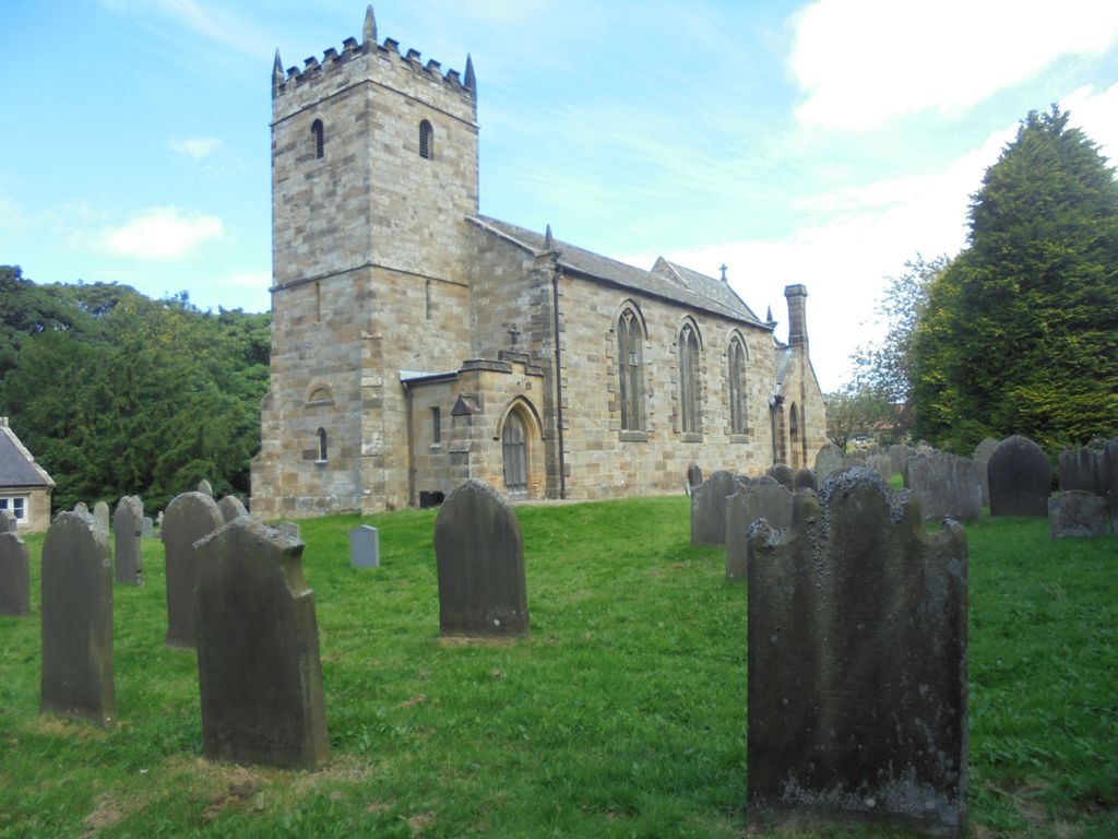
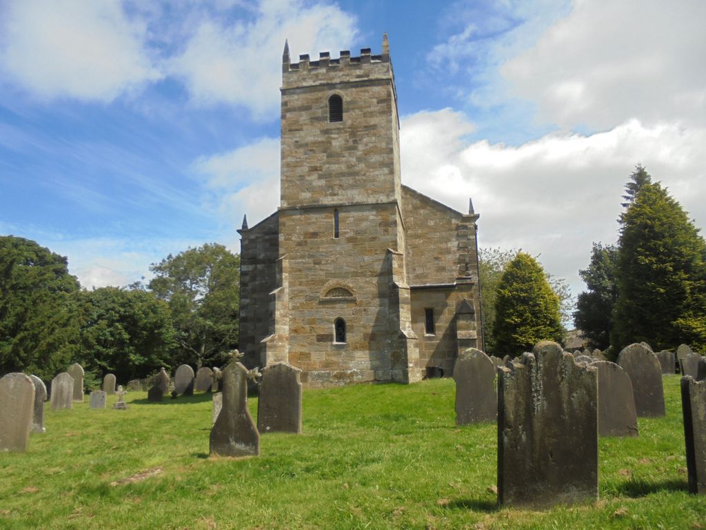
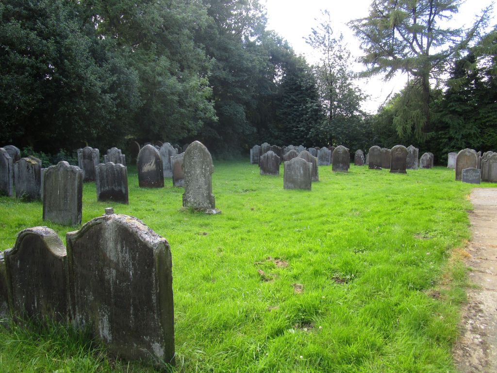
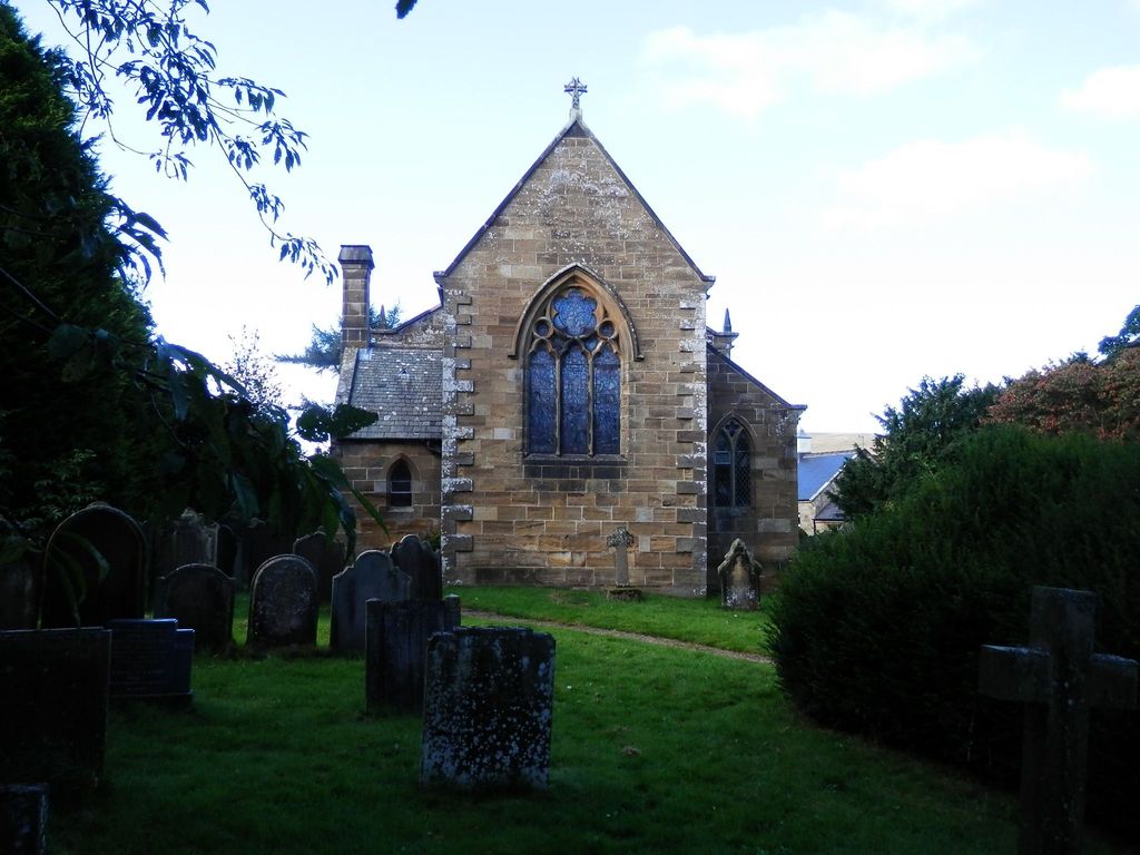
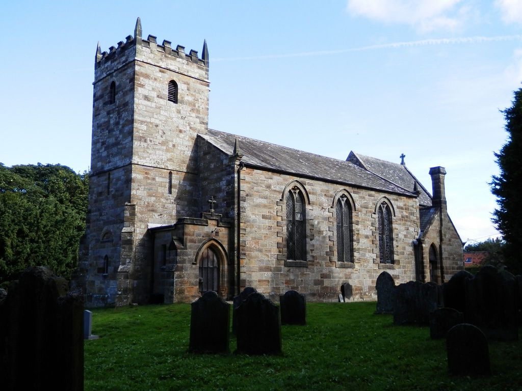
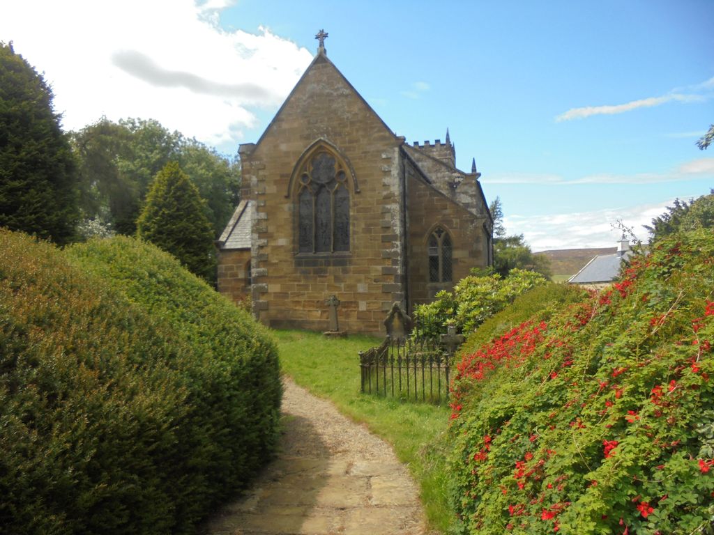
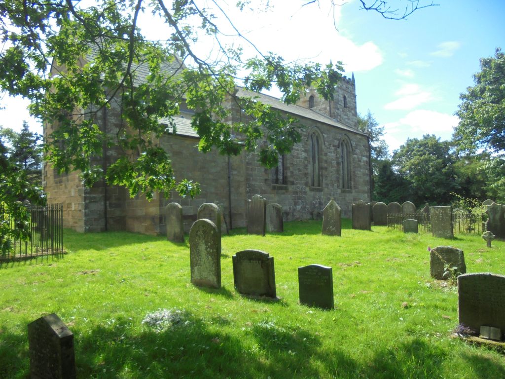
| Description | : | The churchyard is well maintained, closed to further burials. Near the intersection of Westerdale Street and Whyett Road. Westerdale lies about 15 miles west of Whitby. The river Esk rises close by and is fed by several ‘Esklet’ becks. The village has strong associations with the Knights Templar, who had maintained an important house here for two centuries when they were suppressed in 1309. Stones carved by them stand in the porch of the church and are incorporated in its walls. The church was rebuilt in 1838, was modified twice more in the nineteenth century, and had its chancel renovated... Read More |
frequently asked questions (FAQ):
-
Where is Christ Church Churchyard Westerdale?
Christ Church Churchyard Westerdale is located at Westerdale, Scarborough Borough ,North Yorkshire ,England.
-
Christ Church Churchyard Westerdale cemetery's updated grave count on graveviews.com?
23 memorials
-
Where are the coordinates of the Christ Church Churchyard Westerdale?
Latitude: 54.4450870
Longitude: -0.9781360
Nearby Cemetories:
1. Westerdale Green Burial Ground
Westerdale, Scarborough Borough, England
Coordinate: 54.4409040, -0.9555864
2. Quakers Burial Ground
Castleton, Scarborough Borough, England
Coordinate: 54.4614010, -0.9478360
3. St Hilda Churchyard
Danby, Scarborough Borough, England
Coordinate: 54.4475240, -0.9281480
4. Botton Village Cemetery
Danby, Scarborough Borough, England
Coordinate: 54.4290000, -0.9282700
5. St Peter Churchyard
Commondale, Scarborough Borough, England
Coordinate: 54.4863700, -0.9766200
6. St Cuthbert Churchyard
Kildale, Hambleton District, England
Coordinate: 54.4779100, -1.0689200
7. St. Andrew's Churchyard
Ingleby Greenhow, Hambleton District, England
Coordinate: 54.4487300, -1.1051300
8. St Mary Churchyard
Farndale East, Ryedale District, England
Coordinate: 54.3693000, -0.9663000
9. St. Nicholas' Churchyard
Bransdale, Ryedale District, England
Coordinate: 54.3777000, -1.0464000
10. St Mary Churchyard
Moorsholm, Redcar and Cleveland Unitary Authority, England
Coordinate: 54.5207800, -0.9375800
11. Emerson Family Mausoleum
Easby, Hambleton District, England
Coordinate: 54.4702280, -1.1098760
12. Glaisdale Head Methodist Church
Glaisdale, Scarborough Borough, England
Coordinate: 54.4294940, -0.8331749
13. Quaker Burial Ground
Lealholm, Scarborough Borough, England
Coordinate: 54.4575270, -0.8285030
14. St James the Greater Churchyard
Lealholm, Scarborough Borough, England
Coordinate: 54.4586200, -0.8240300
15. Our Lady of Sacred Heart Roman Catholic Churchyard
Lealholm, Scarborough Borough, England
Coordinate: 54.4592200, -0.8234600
16. St Aidan Churchyard
Boosbeck, Redcar and Cleveland Unitary Authority, England
Coordinate: 54.5428560, -0.9786800
17. Boosbeck Cemetery
Boosbeck, Redcar and Cleveland Unitary Authority, England
Coordinate: 54.5434900, -0.9779200
18. Friends Burial Ground
Great Ayton, Hambleton District, England
Coordinate: 54.4880800, -1.1315580
19. St Thomas Churchyard
Glaisdale, Scarborough Borough, England
Coordinate: 54.4373700, -0.8083400
20. St. Hilda's Churchyard
Chop Gate, Hambleton District, England
Coordinate: 54.3988950, -1.1299120
21. Guisborough Priory
Guisborough, Redcar and Cleveland Unitary Authority, England
Coordinate: 54.5361700, -1.0489500
22. St. Nicholas Churchyard
Guisborough, Redcar and Cleveland Unitary Authority, England
Coordinate: 54.5366500, -1.0482800
23. Quakers Burial Ground
Guisborough, Redcar and Cleveland Unitary Authority, England
Coordinate: 54.5355100, -1.0569760
24. St. Michael Churchyard
Liverton, Redcar and Cleveland Unitary Authority, England
Coordinate: 54.5370370, -0.9025160