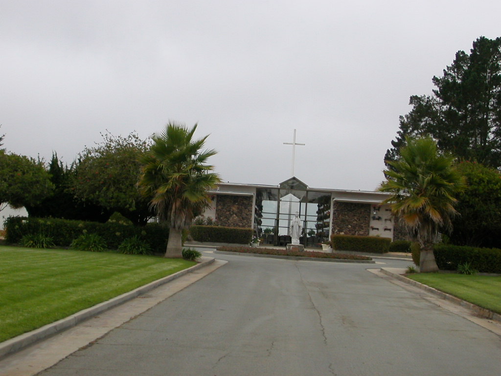
| Memorials | : | 2408 |
| Location | : | Prunedale, Monterey County, USA |
| Website | : | www.cfcsmonterey.org |
| Coordinate | : | 36.7602425, -121.6611252 |
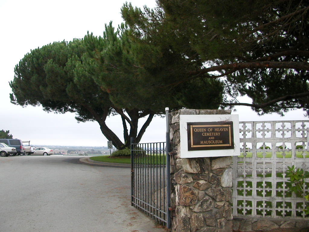
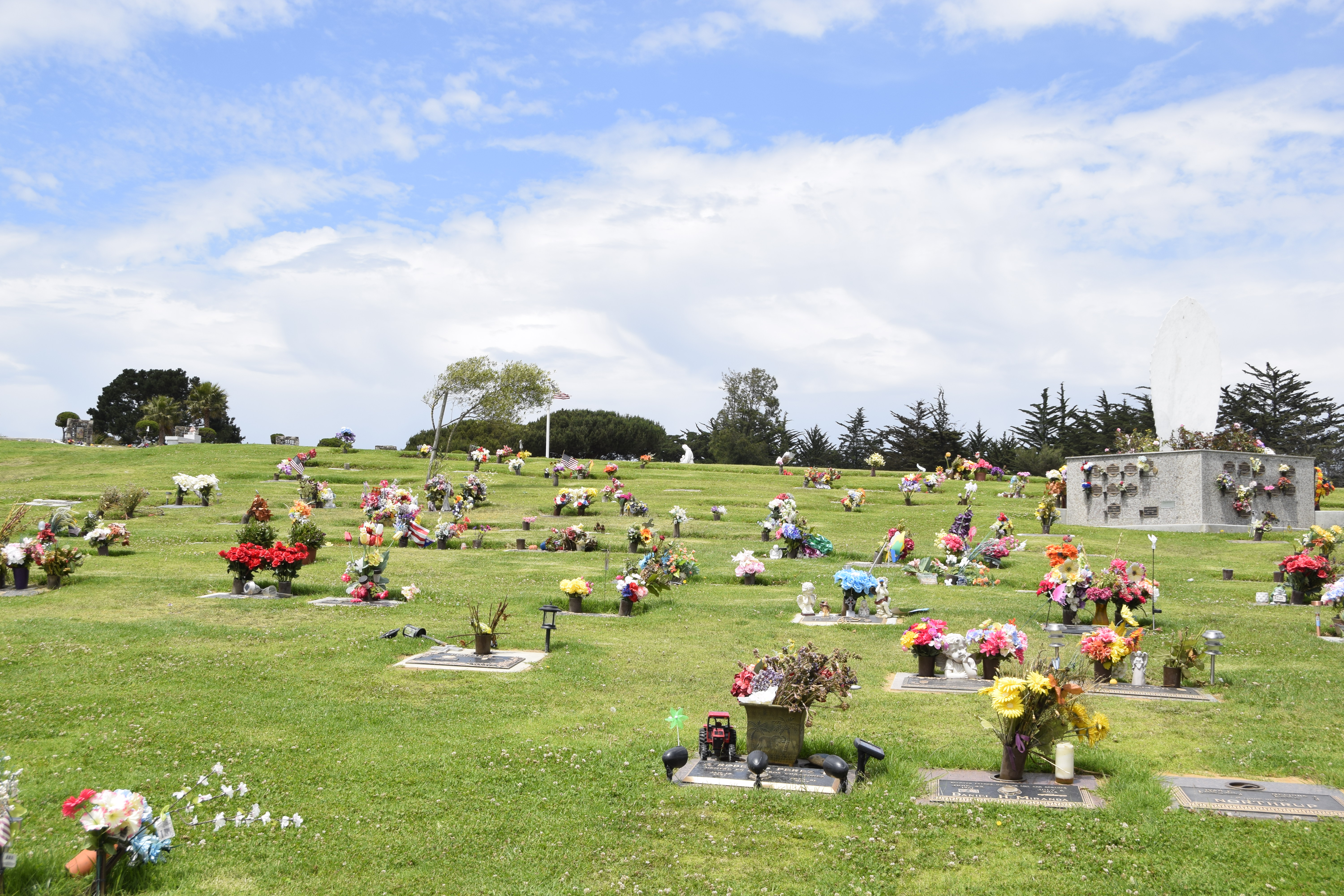
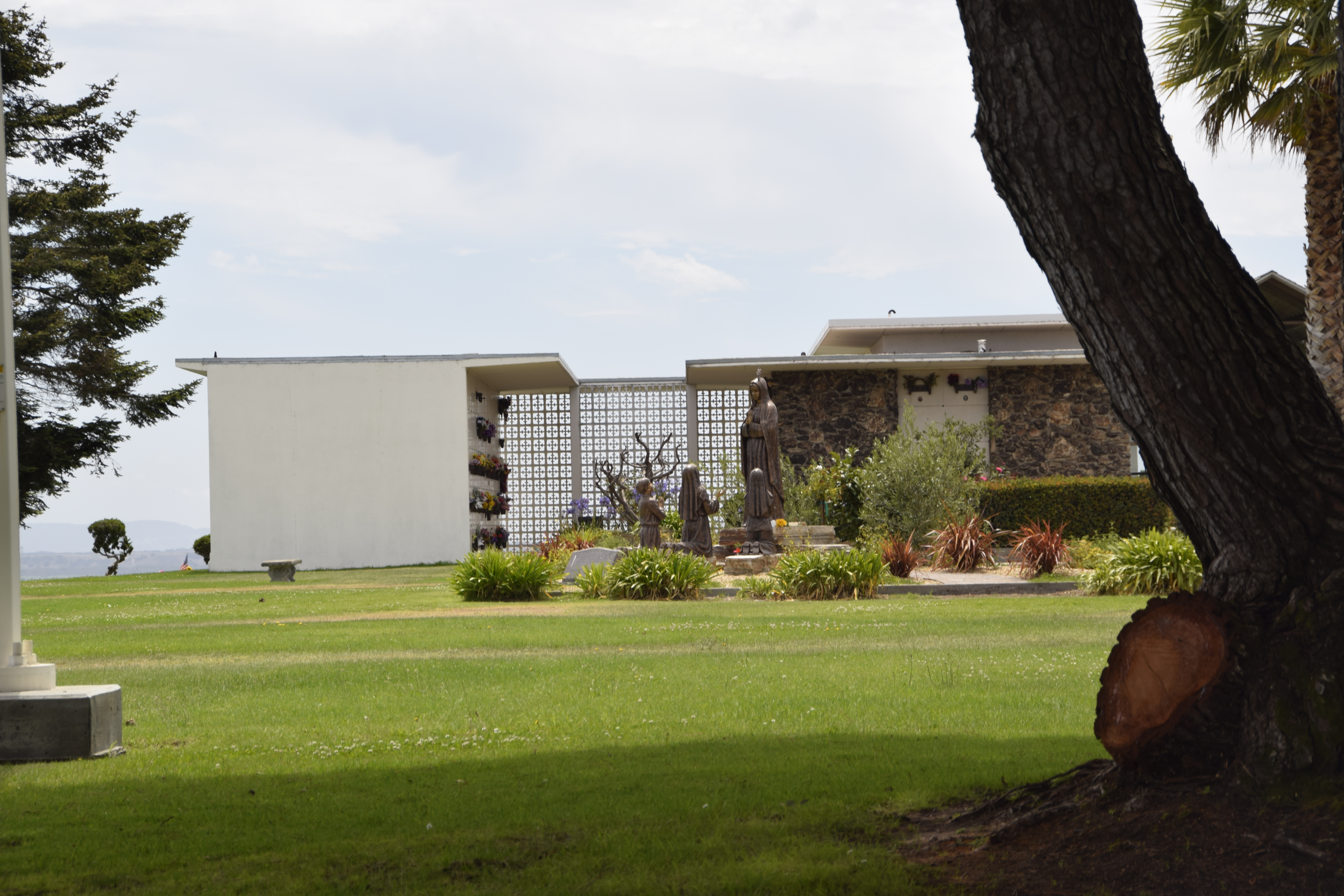
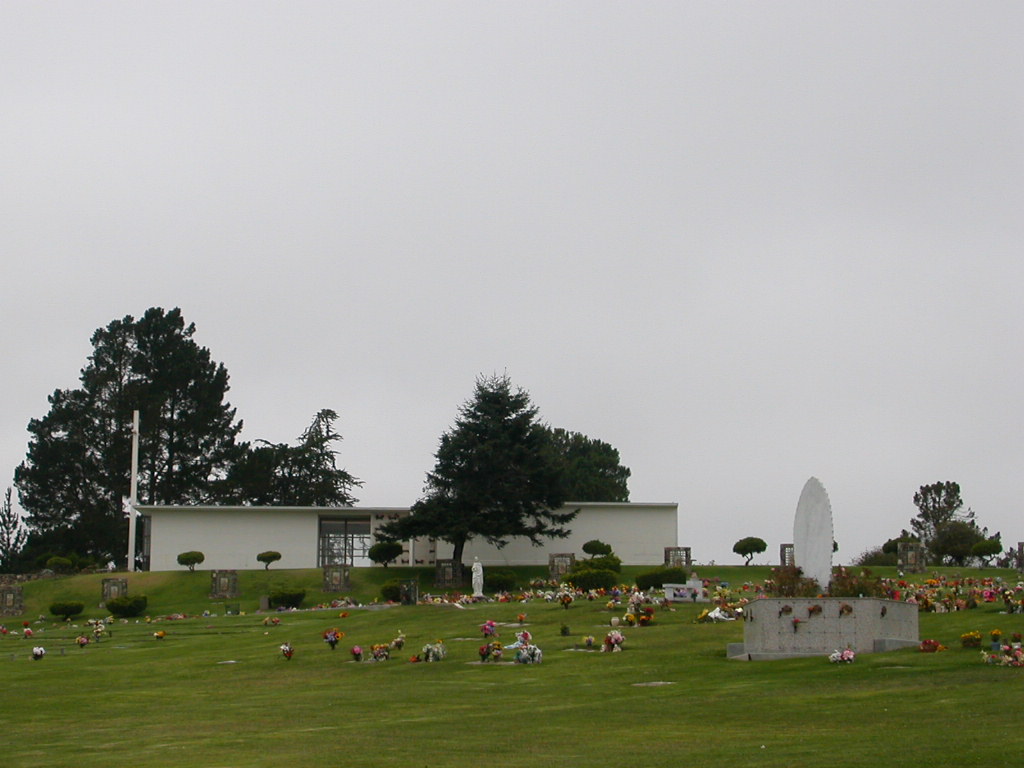
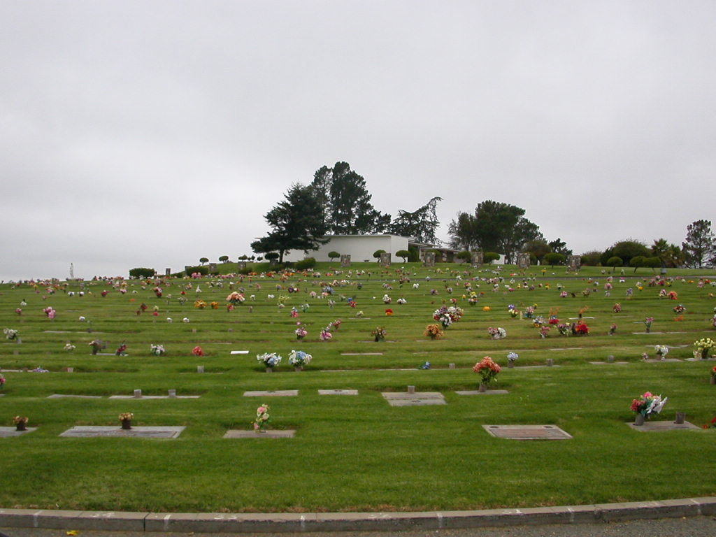
| Description | : | This cemetery has a $15 fee to locate up to 3 burial locations. Though the cemetery mailing address shows Salinas, California, it is physically located in Prunedale, at the south end of town, between U.S. Highway 101 on the west and Country Meadows Road/Harrison Road to the east. In obituaries and funeral notices, the cemetery location is usually shown as Prunedale, not Salinas. |
frequently asked questions (FAQ):
-
Where is Queen of Heaven Cemetery?
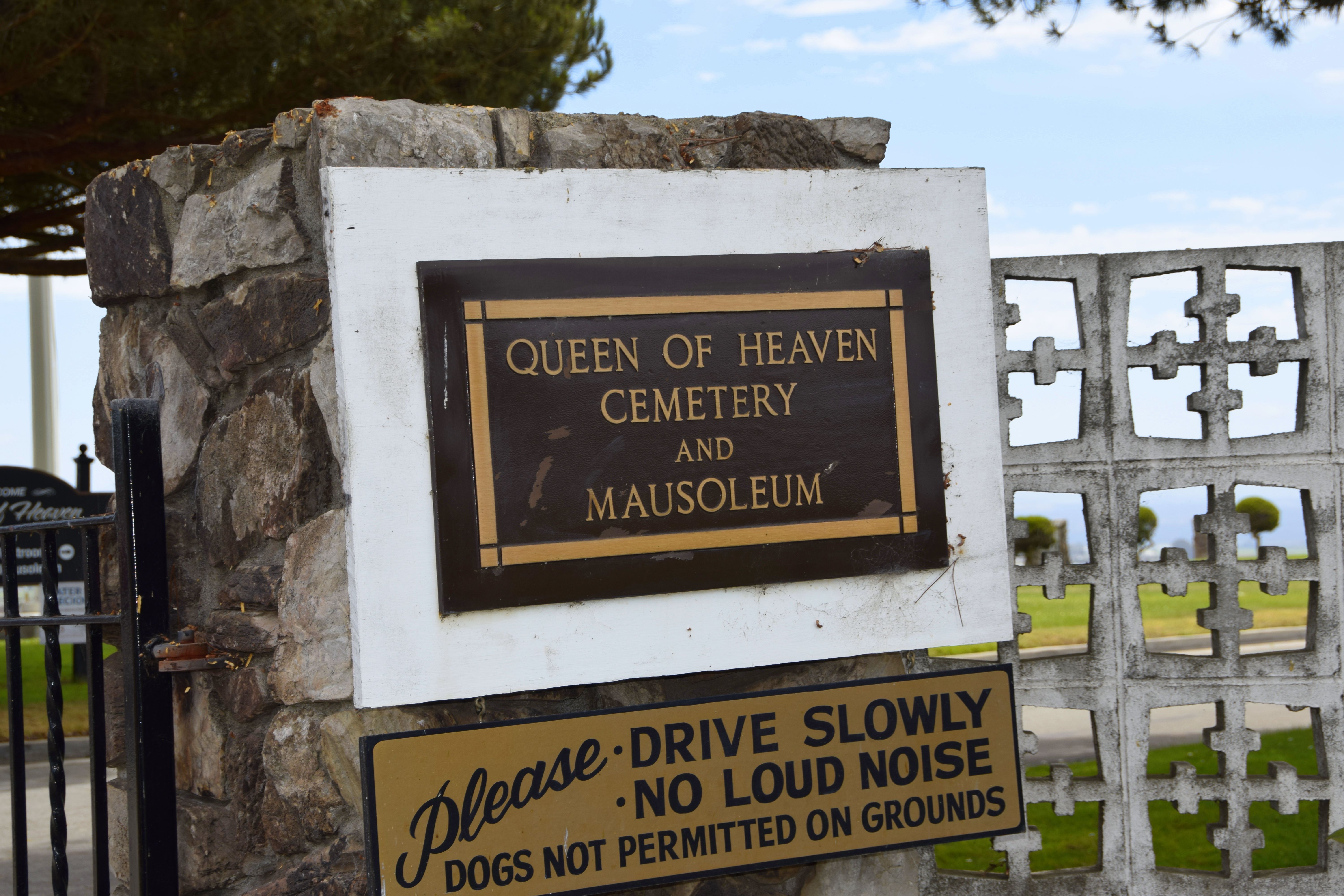
Queen of Heaven Cemetery is located at 18200 Damian Way Prunedale, Monterey County ,California , 93907USA.
-
Queen of Heaven Cemetery cemetery's updated grave count on graveviews.com?
2408 memorials
-
Where are the coordinates of the Queen of Heaven Cemetery?
Latitude: 36.7602425
Longitude: -121.6611252
Nearby Cemetories:
1. Santa Rita Chapel and Cemetery
Salinas, Monterey County, USA
Coordinate: 36.7281303, -121.6565475
2. Saint Georges Episcopal Church Columbarium
Salinas, Monterey County, USA
Coordinate: 36.7062580, -121.6440980
3. Monterey County Potters Field Cemetery
Salinas, Monterey County, USA
Coordinate: 36.6960900, -121.6381950
4. Chinese Cemetery
Salinas, Monterey County, USA
Coordinate: 36.6952057, -121.6390381
5. Calvary Catholic Cemetery
Salinas, Monterey County, USA
Coordinate: 36.6880341, -121.6818085
6. Monterey Bay Loved Pet Cemetery
Monterey County, USA
Coordinate: 36.8326160, -121.6812820
7. Hambey Cemetery
Monterey County, USA
Coordinate: 36.8372002, -121.6793976
8. Stephen Norriss Gravesite
Monterey County, USA
Coordinate: 36.8214110, -121.7601080
9. Saint Pauls Episcopal Church Columbarium
Salinas, Monterey County, USA
Coordinate: 36.6588430, -121.6558850
10. Castroville Public Cemetery
Moss Landing, Monterey County, USA
Coordinate: 36.7930145, -121.7851410
11. Garden of Memories
Salinas, Monterey County, USA
Coordinate: 36.6565247, -121.6384125
12. Yamato Cemetery
Salinas, Monterey County, USA
Coordinate: 36.6552811, -121.6307297
13. Whitcher Cemetery
East Garrison, Monterey County, USA
Coordinate: 36.6501730, -121.7305270
14. San Juan Bautista Cemetery
San Juan Bautista, San Benito County, USA
Coordinate: 36.8457985, -121.5438995
15. Mission San Juan Bautista Cemetery
San Juan Bautista, San Benito County, USA
Coordinate: 36.8460007, -121.5339966
16. California Central Coast Veterans Cemetery
Seaside, Monterey County, USA
Coordinate: 36.6371900, -121.7963600
17. All Saints Episcopal Church Memorial Garden
Watsonville, Santa Cruz County, USA
Coordinate: 36.9102310, -121.7568950
18. Pioneer Cemetery
Watsonville, Santa Cruz County, USA
Coordinate: 36.9258560, -121.7642790
19. Watsonville Catholic Cemetery
Watsonville, Santa Cruz County, USA
Coordinate: 36.9278564, -121.7658463
20. Mission Memorial Park
Seaside, Monterey County, USA
Coordinate: 36.6191635, -121.8217926
21. Valley Catholic Cemetery
Watsonville, Santa Cruz County, USA
Coordinate: 36.9415932, -121.7405777
22. Valley Public Cemetery
Watsonville, Santa Cruz County, USA
Coordinate: 36.9418983, -121.7400513
23. Pajaro Valley Memorial Park
Watsonville, Santa Cruz County, USA
Coordinate: 36.9629669, -121.7219391
24. Odd Fellows Cemetery
Hollister, San Benito County, USA
Coordinate: 36.8571210, -121.4104100


