
| Memorials | : | 1497 |
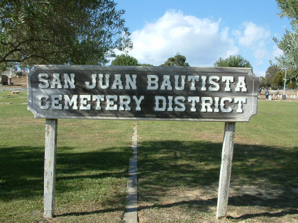
| Location | : | San Juan Bautista, San Benito County, USA |
| Phone | : | (831) 623-2646 |
| Coordinate | : | 36.8457985, -121.5438995 |
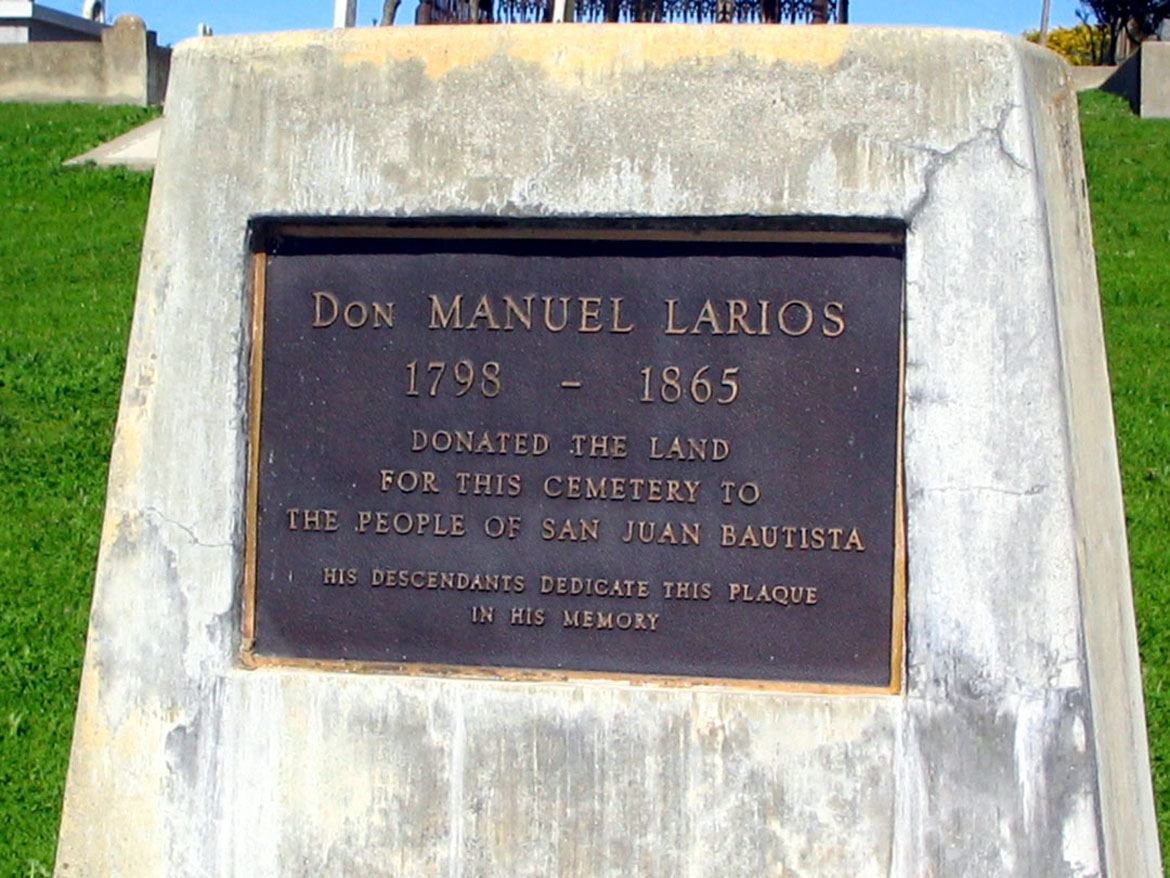
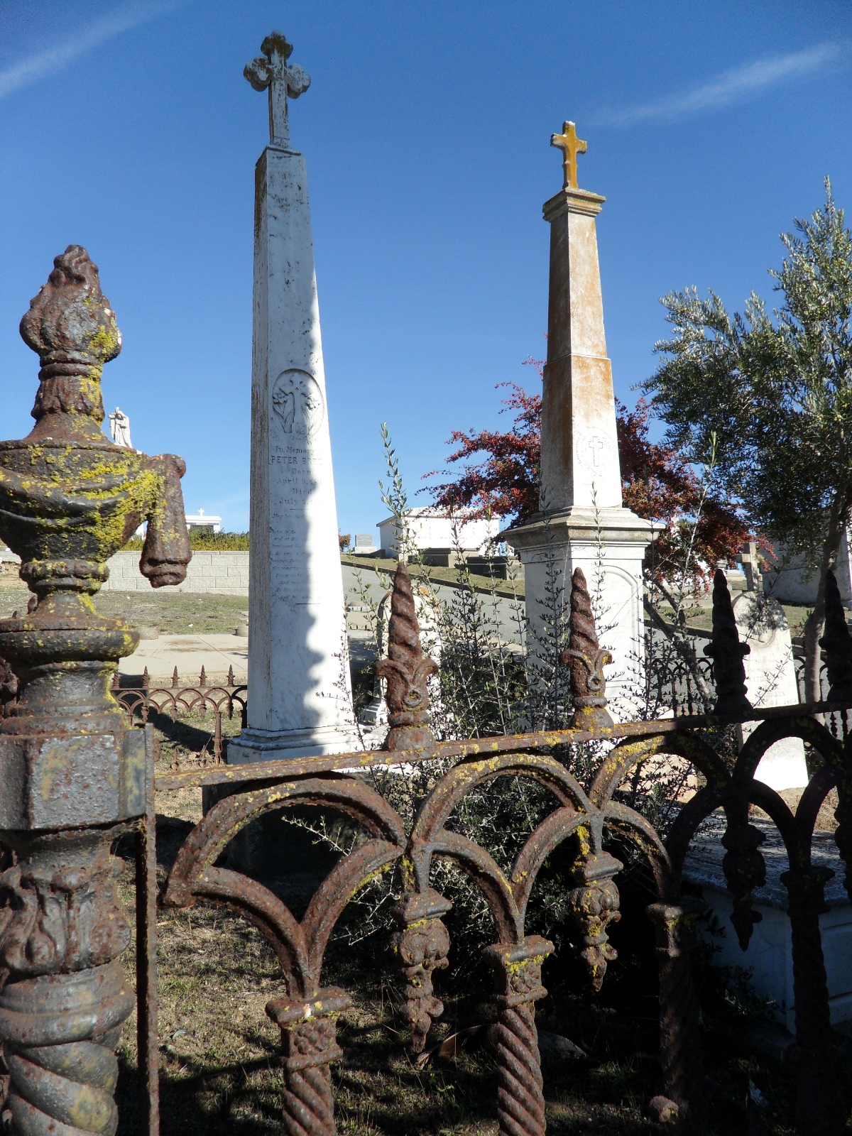
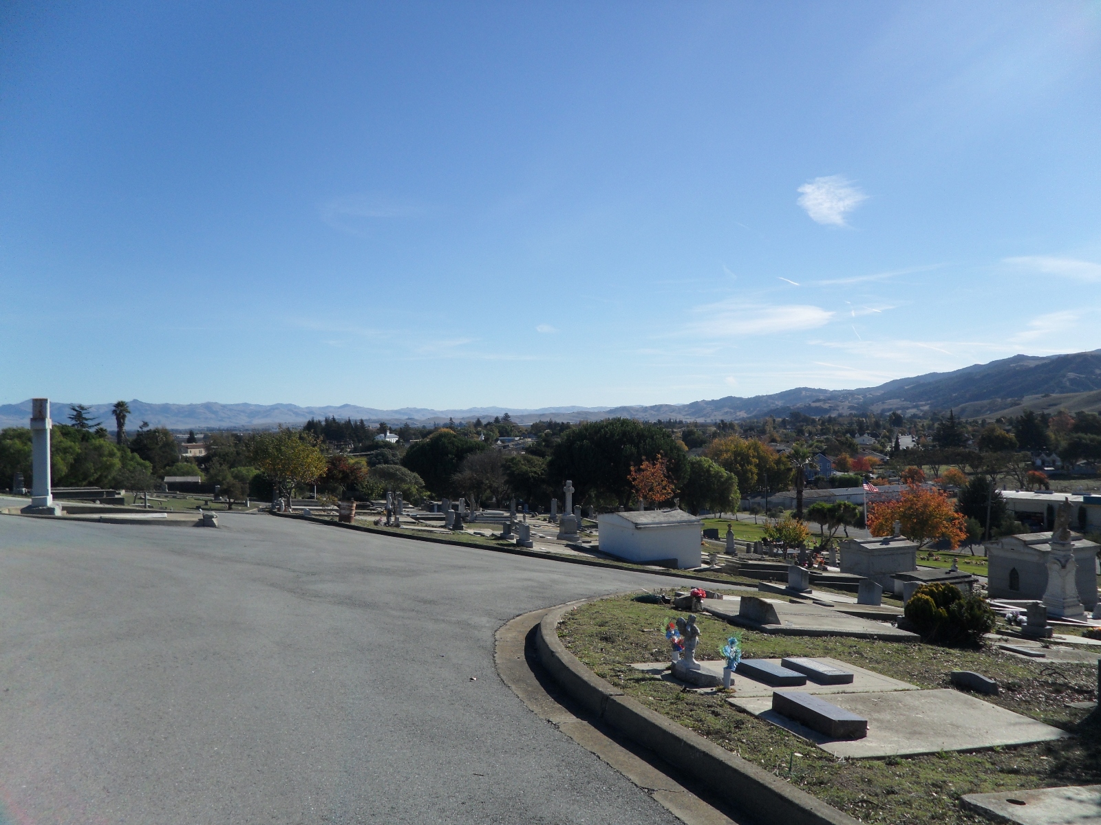
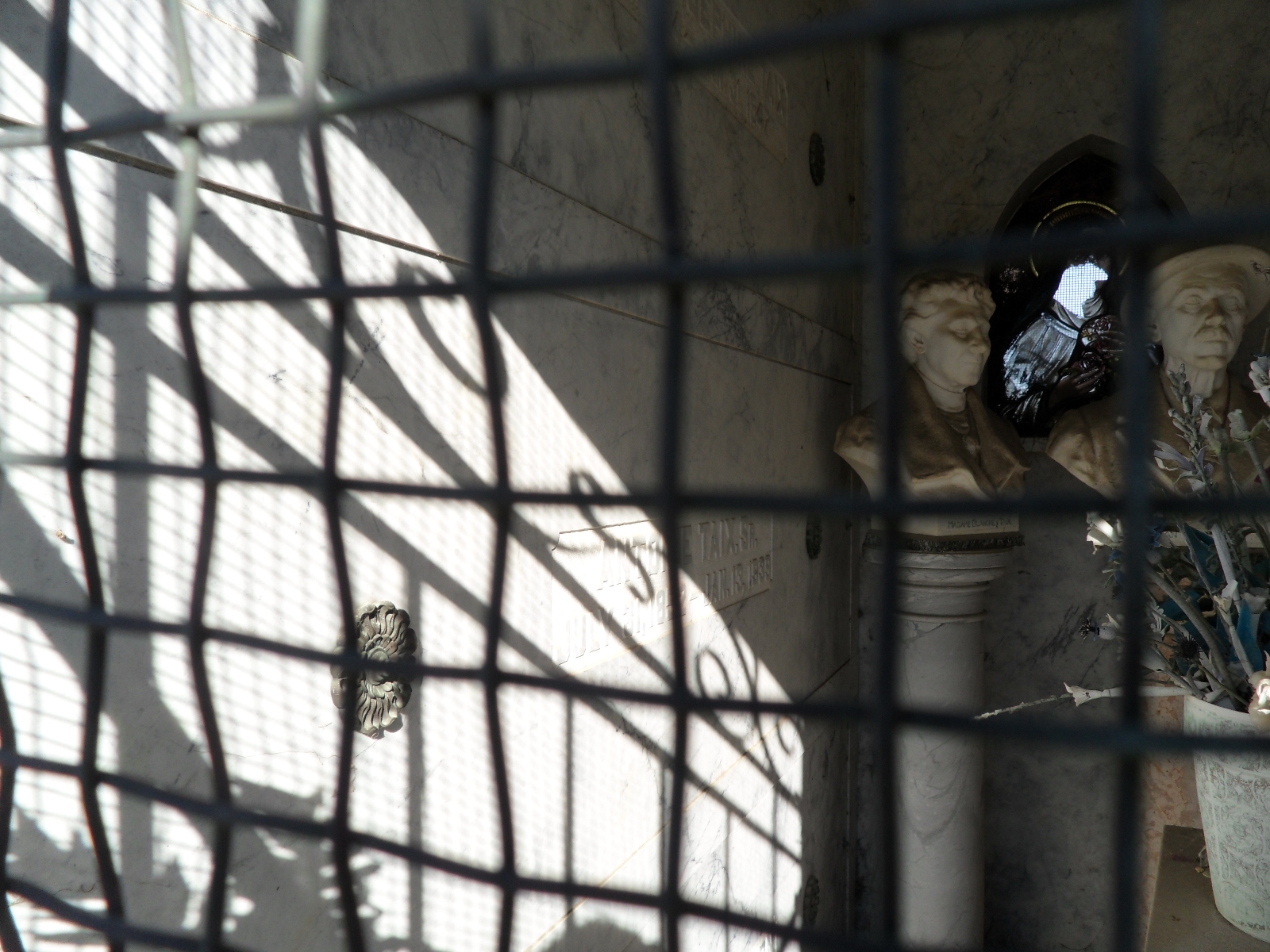
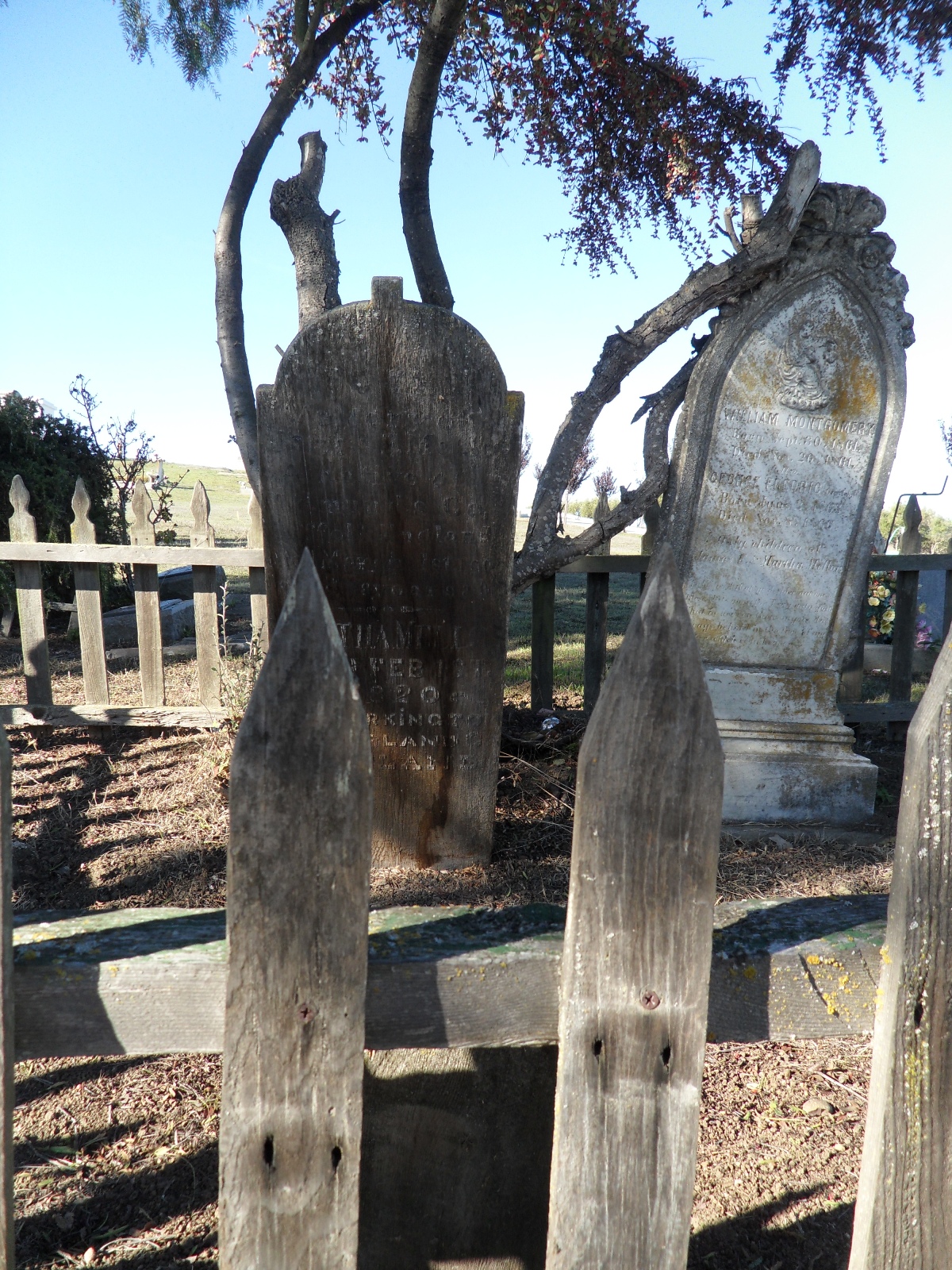
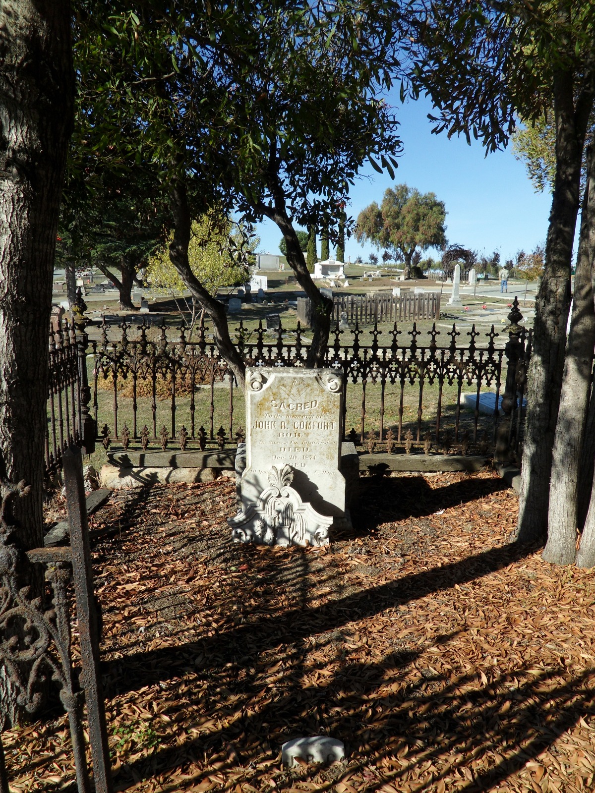
| Description | : | Active cemetery for the people of San Juan Bautista. Don Manuel Larios deeded a section of Rancho San Antonio to the people of San Juan and divided the tract into two parts, one for a Catholic cemetery and the other for a Protestant cemetery. When Don Larios deeded the land for the cemetery, he reserved a section for his family fronting the road. It is said that it was cut off from the rest of the cemetery with a barbed wire fence because of an infraction of the cemetery rules. |
frequently asked questions (FAQ):
-
Where is San Juan Bautista Cemetery?
San Juan Bautista Cemetery is located at 70 Monterey San Juan Bautista, San Benito County ,California , 95045USA.
-
San Juan Bautista Cemetery cemetery's updated grave count on graveviews.com?
1497 memorials
-
Where are the coordinates of the San Juan Bautista Cemetery?
Latitude: 36.8457985
Longitude: -121.5438995
Nearby Cemetories:
1. Mission San Juan Bautista Cemetery
San Juan Bautista, San Benito County, USA
Coordinate: 36.8460007, -121.5339966
2. Odd Fellows Cemetery
Hollister, San Benito County, USA
Coordinate: 36.8571210, -121.4104100
3. Hambey Cemetery
Monterey County, USA
Coordinate: 36.8372002, -121.6793976
4. Monterey Bay Loved Pet Cemetery
Monterey County, USA
Coordinate: 36.8326160, -121.6812820
5. Queen of Heaven Cemetery
Prunedale, Monterey County, USA
Coordinate: 36.7602425, -121.6611252
6. Calvary-Sacred Heart Cemetery
Hollister, San Benito County, USA
Coordinate: 36.8483009, -121.3767014
7. Saint Benedicts Columbarium
Hollister, San Benito County, USA
Coordinate: 36.8337440, -121.3667120
8. Santa Rita Chapel and Cemetery
Salinas, Monterey County, USA
Coordinate: 36.7281303, -121.6565475
9. Saint Georges Episcopal Church Columbarium
Salinas, Monterey County, USA
Coordinate: 36.7062580, -121.6440980
10. Monterey County Potters Field Cemetery
Salinas, Monterey County, USA
Coordinate: 36.6960900, -121.6381950
11. Chinese Cemetery
Salinas, Monterey County, USA
Coordinate: 36.6952057, -121.6390381
12. Gavilan Hills Memorial Park
Gilroy, Santa Clara County, USA
Coordinate: 37.0124000, -121.5909200
13. Saint Mary Cemetery
Gilroy, Santa Clara County, USA
Coordinate: 37.0134300, -121.5882000
14. Saint Mary Church Cemetery
Gilroy, Santa Clara County, USA
Coordinate: 37.0155970, -121.5765950
15. Stephen Norriss Gravesite
Monterey County, USA
Coordinate: 36.8214110, -121.7601080
16. All Saints Episcopal Church Memorial Garden
Watsonville, Santa Cruz County, USA
Coordinate: 36.9102310, -121.7568950
17. Valley Public Cemetery
Watsonville, Santa Cruz County, USA
Coordinate: 36.9418983, -121.7400513
18. Valley Catholic Cemetery
Watsonville, Santa Cruz County, USA
Coordinate: 36.9415932, -121.7405777
19. Pajaro Valley Memorial Park
Watsonville, Santa Cruz County, USA
Coordinate: 36.9629669, -121.7219391
20. Calvary Catholic Cemetery
Salinas, Monterey County, USA
Coordinate: 36.6880341, -121.6818085
21. Pioneer Cemetery
Watsonville, Santa Cruz County, USA
Coordinate: 36.9258560, -121.7642790
22. Watsonville Catholic Cemetery
Watsonville, Santa Cruz County, USA
Coordinate: 36.9278564, -121.7658463
23. Castroville Public Cemetery
Moss Landing, Monterey County, USA
Coordinate: 36.7930145, -121.7851410
24. Yamato Cemetery
Salinas, Monterey County, USA
Coordinate: 36.6552811, -121.6307297