| Memorials | : | 523 |
| Location | : | Topeka, Shawnee County, USA |
| Phone | : | 785-286-0291 |
| Website | : | www.rochestercemetery.org |
| Coordinate | : | 39.1044006, -95.6800003 |
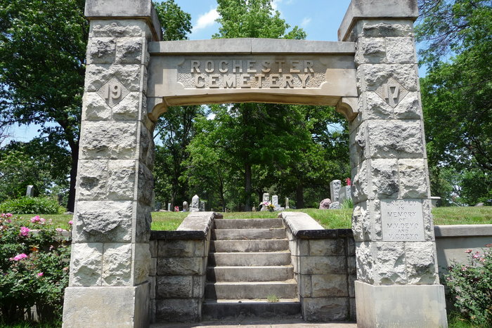
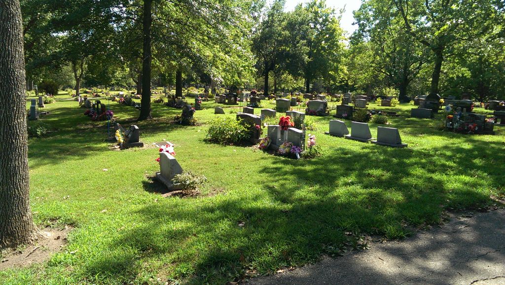
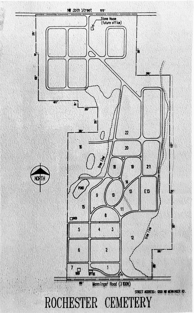
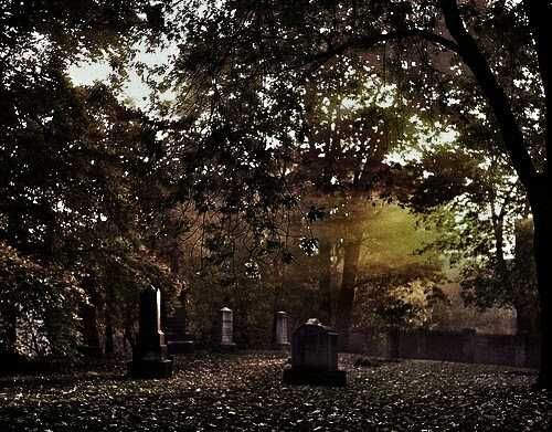
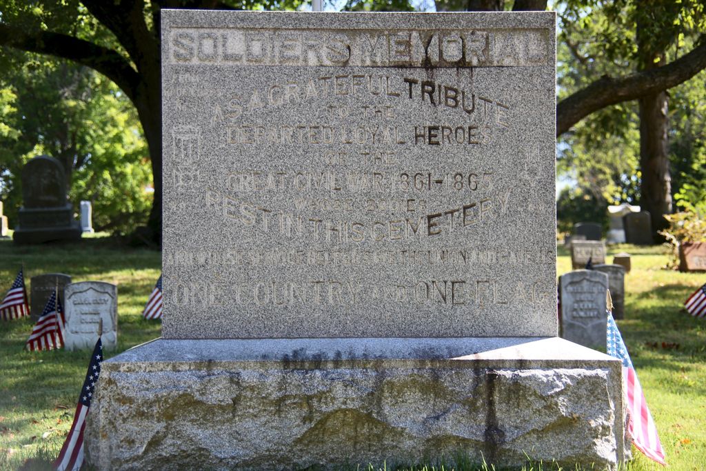
| Description | : | Their brochure: Rochester Cemetery "Cemetery of Natural Beauty" Rochester Cemetery is the oldest cemetery in Shawnee County. It was founded in 1854, the same year the City of Topeka was founded. It was chartered by the state in 1870. Many of the tombstones mark the graves of Pioneer Kansans with names familiar to area historians. The Rochester atmosphere is indicative of its long history because of the shade of the big, old trees along the drives and walks. Blooming shrubs and plants throughout the cemetery brings beautiful color around Memorial Day. Located high on rolling hills north of the Kansas River, there is excellent... Read More |
frequently asked questions (FAQ):
-
Where is Rochester Cemetery?
Rochester Cemetery is located at 1200 NW Menninger Road Topeka, Shawnee County ,Kansas , 66618USA.
-
Rochester Cemetery cemetery's updated grave count on graveviews.com?
519 memorials
-
Where are the coordinates of the Rochester Cemetery?
Latitude: 39.1044006
Longitude: -95.6800003
Nearby Cemetories:
1. Bennie Lee Graham Memorial Cemetery
Shawnee County, USA
Coordinate: 39.1020584, -95.6836472
2. Curtis Family Cemetery
North Topeka, Shawnee County, USA
Coordinate: 39.0792870, -95.6702270
3. Topeka State Hospital Cemetery
Topeka, Shawnee County, USA
Coordinate: 39.0671005, -95.7080994
4. Prairie Home Cemetery
Topeka, Shawnee County, USA
Coordinate: 39.1077118, -95.7482910
5. Grace Episcopal Cathedral Columbarium
Topeka, Shawnee County, USA
Coordinate: 39.0511284, -95.6843719
6. Memorial Park Cemetery
Topeka, Shawnee County, USA
Coordinate: 39.0619011, -95.7221985
7. Grace Episcopal Cathedral Sanctuary
Topeka, Shawnee County, USA
Coordinate: 39.0506925, -95.6839273
8. Half-Day Cemetery
Elmont, Shawnee County, USA
Coordinate: 39.1584702, -95.7143402
9. Westminster Presbyterian Church Memorial Garden
Topeka, Shawnee County, USA
Coordinate: 39.0430400, -95.7021700
10. Mount Calvary Cemetery
Topeka, Shawnee County, USA
Coordinate: 39.0532990, -95.7360992
11. Topeka Cemetery
Topeka, Shawnee County, USA
Coordinate: 39.0388985, -95.6528015
12. Mount Auburn Cemetery
Topeka, Shawnee County, USA
Coordinate: 39.0393982, -95.6500015
13. Carnegie Hall
Topeka, Shawnee County, USA
Coordinate: 39.0350600, -95.6999100
14. Security Benefit Association Cemetery
Topeka, Shawnee County, USA
Coordinate: 39.0630989, -95.7606583
15. Saint Davids Episcopal Church Columbarium
Topeka, Shawnee County, USA
Coordinate: 39.0369860, -95.7259480
16. Old Grantville Cemetery
Grantville, Jefferson County, USA
Coordinate: 39.0949500, -95.5771300
17. Mount Hope Cemetery
Topeka, Shawnee County, USA
Coordinate: 39.0367393, -95.7386703
18. Grantville Cemetery
Grantville, Jefferson County, USA
Coordinate: 39.0957400, -95.5745800
19. Ritchie Cemetery
Topeka, Shawnee County, USA
Coordinate: 39.0228010, -95.7027530
20. Foster Cemetery
Topeka, Shawnee County, USA
Coordinate: 38.9942017, -95.7061005
21. Saint Aloysius Cemetery
Meriden, Jefferson County, USA
Coordinate: 39.1872482, -95.5795593
22. Abram Burnett Burial Site
Topeka, Shawnee County, USA
Coordinate: 39.0102997, -95.7685776
23. West Lawn Memorial Gardens
Topeka, Shawnee County, USA
Coordinate: 39.0518112, -95.8167419
24. Mission Center Cemetery
Topeka, Shawnee County, USA
Coordinate: 39.0145493, -95.7819290

