
| Memorials | : | 64 |
| Location | : | Copythorne, New Forest District, England |
| Coordinate | : | 50.9307300, -1.5641400 |
frequently asked questions (FAQ):
-
Where is St. Mary's Churchyard?
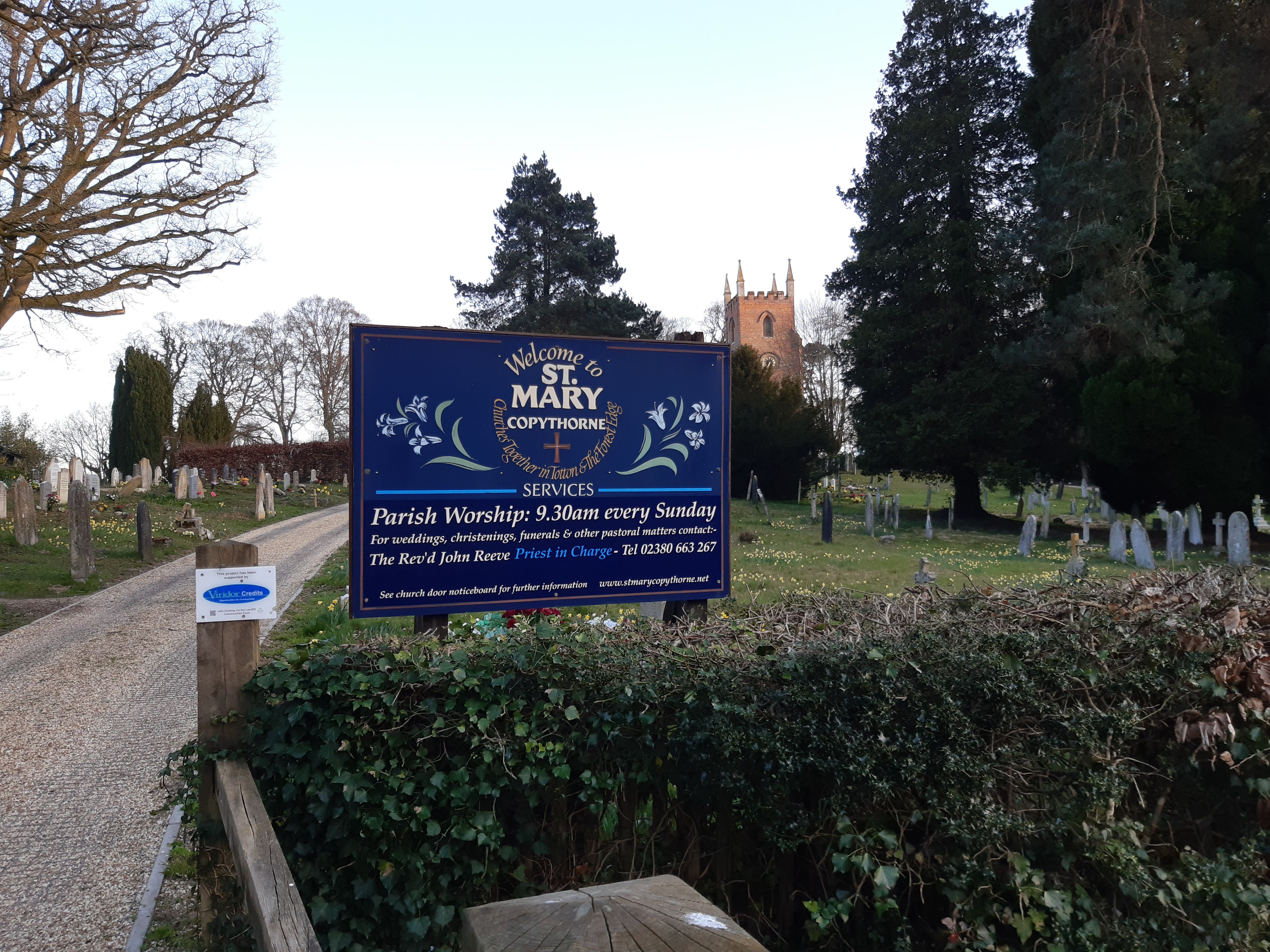
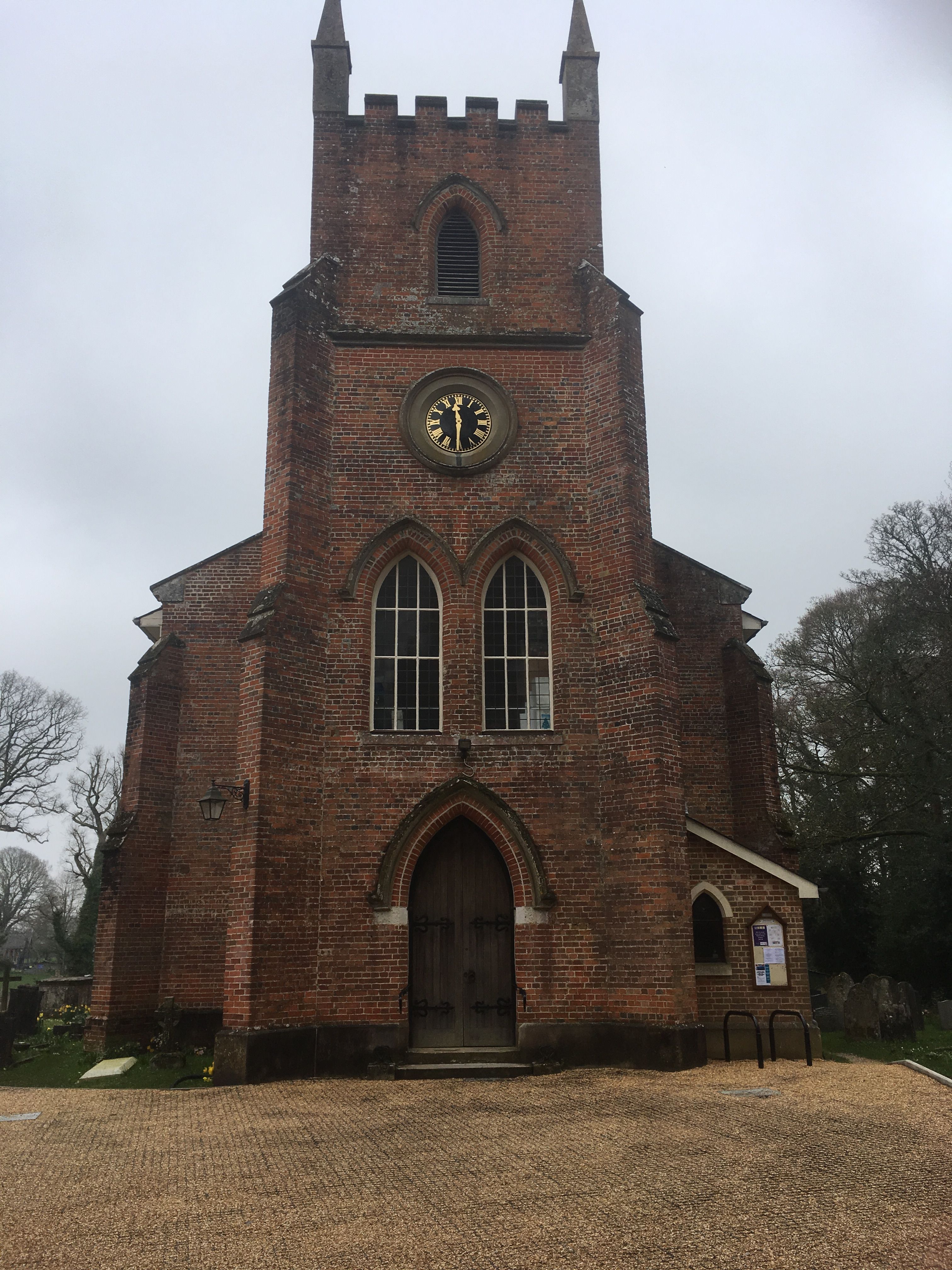
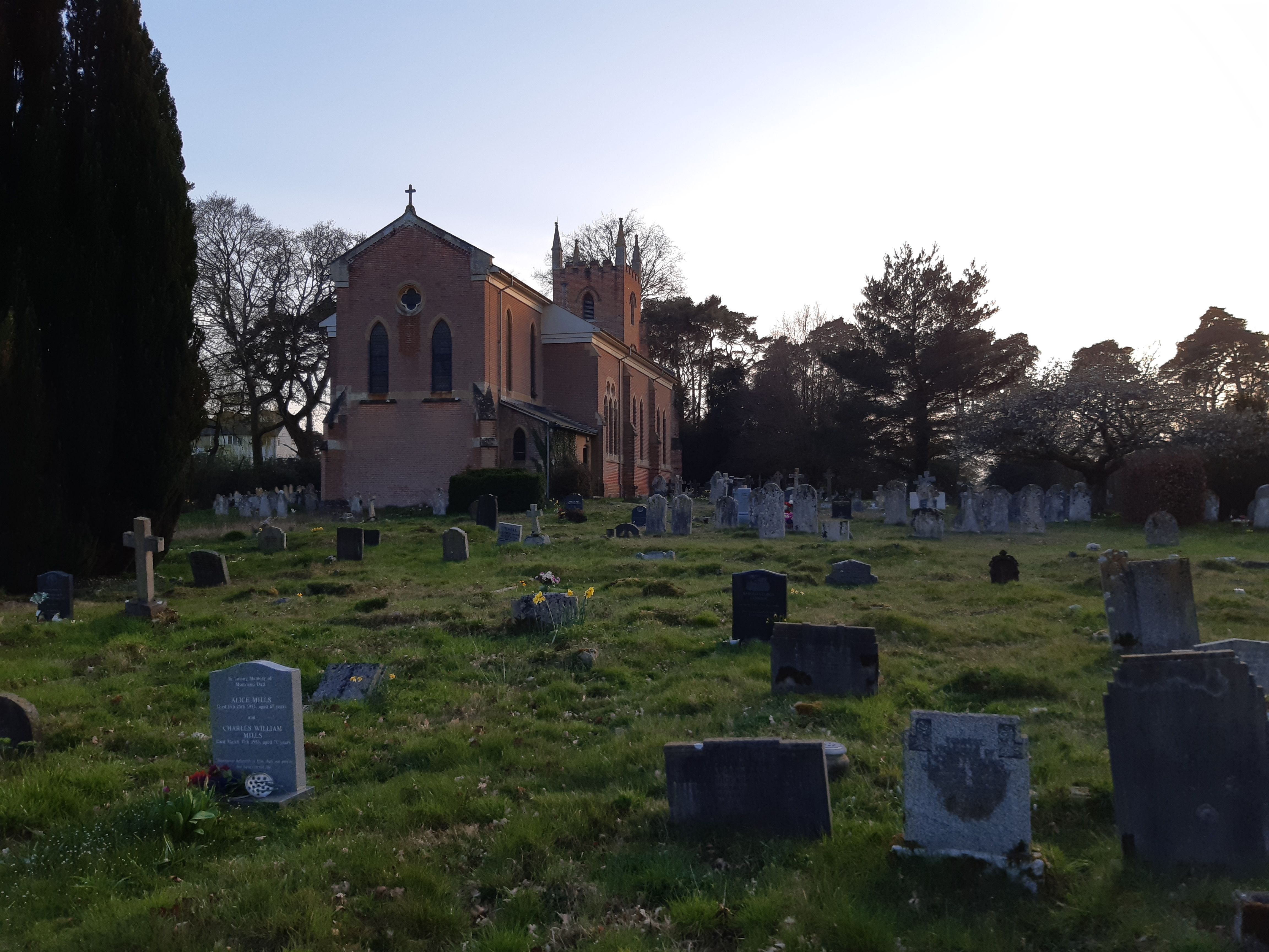
St. Mary's Churchyard is located at Romsey Road Copythorne, New Forest District ,Hampshire , SO40 2PBEngland.
-
St. Mary's Churchyard cemetery's updated grave count on graveviews.com?
64 memorials
-
Where are the coordinates of the St. Mary's Churchyard?
Latitude: 50.9307300
Longitude: -1.5641400
Nearby Cemetories:
1. St. Matthew's Churchyard
Netley Marsh, New Forest District, England
Coordinate: 50.9161620, -1.5285530
2. All Saints Churchyard
Minstead, New Forest District, England
Coordinate: 50.8967200, -1.6017160
3. St. Peter's Churchyard
Bramshaw, New Forest District, England
Coordinate: 50.9485800, -1.6245700
4. St Boniface Churchyard
Nursling, Test Valley Borough, England
Coordinate: 50.9464660, -1.4896760
5. Christ Church Churchyard
Ashurst, New Forest District, England
Coordinate: 50.8960200, -1.5054200
6. St Margaret of Antioch Churchyard
East Wellow, Test Valley Borough, England
Coordinate: 50.9822010, -1.5699490
7. Eling Cemetery
Eling, New Forest District, England
Coordinate: 50.9092640, -1.4817810
8. St Peter Churchyard
Plaitford, Test Valley Borough, England
Coordinate: 50.9815600, -1.6052890
9. St. Mary the Virgin Churchyard
Eling, New Forest District, England
Coordinate: 50.9103000, -1.4795700
10. Lyndhurst Cemetery
Lyndhurst, New Forest District, England
Coordinate: 50.8723000, -1.5644600
11. St Michael and All Angels Churchyard
Lyndhurst, New Forest District, England
Coordinate: 50.8722520, -1.5778710
12. Christ Church Churchyard
Emery Down, New Forest District, England
Coordinate: 50.8742900, -1.5935600
13. St. Leonard Churchyard
Sherfield English, Test Valley Borough, England
Coordinate: 51.0001130, -1.5875130
14. Romsey Abbey
Romsey, Test Valley Borough, England
Coordinate: 50.9896510, -1.5012580
15. Holy Trinity Churchyard
Millbrook, Southampton Unitary Authority, England
Coordinate: 50.9158400, -1.4535100
16. Millbrook Cemetery
Millbrook, Southampton Unitary Authority, England
Coordinate: 50.9164900, -1.4526100
17. St John the Evangelist Churchyard
Rownhams, Test Valley Borough, England
Coordinate: 50.9520900, -1.4541200
18. St. Nicholas Churchyard
Millbrook, Southampton Unitary Authority, England
Coordinate: 50.9139100, -1.4439800
19. Botley Road Cemetery
Romsey, Test Valley Borough, England
Coordinate: 50.9884090, -1.4784770
20. All Saints Churchyard
Awbridge, Test Valley Borough, England
Coordinate: 51.0095230, -1.5391870
21. Falklands War Memorial
Marchwood, New Forest District, England
Coordinate: 50.8898280, -1.4533250
22. St John the Apostle Churchyard
Marchwood, New Forest District, England
Coordinate: 50.8900300, -1.4530700
23. Hollybrook Cemetery
Southampton, Southampton Unitary Authority, England
Coordinate: 50.9340680, -1.4312970
24. Hollybrook War Memorial
Southampton, Southampton Unitary Authority, England
Coordinate: 50.9337420, -1.4311350