
| Memorials | : | 8 |
| Location | : | Rotherfield, Wealden District, England |
| Coordinate | : | 51.0553690, 0.2191294 |
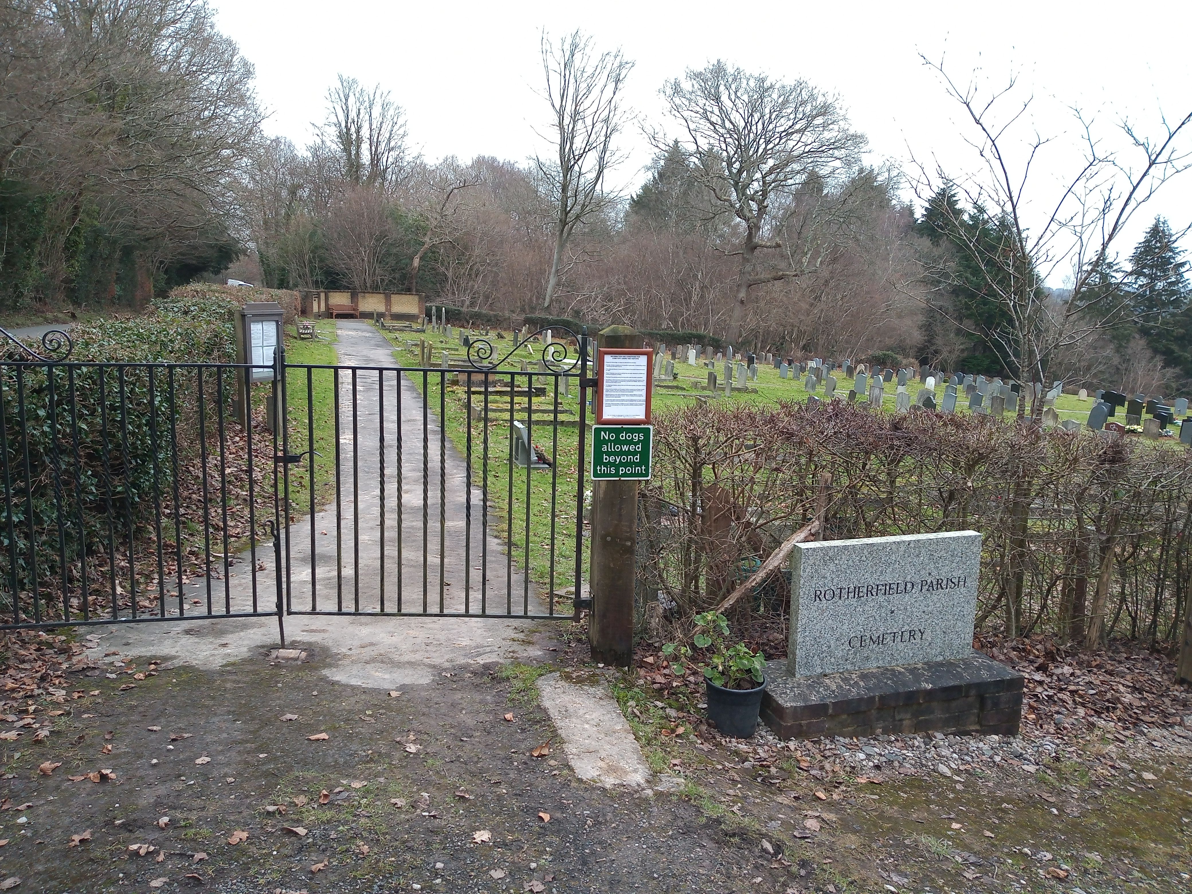
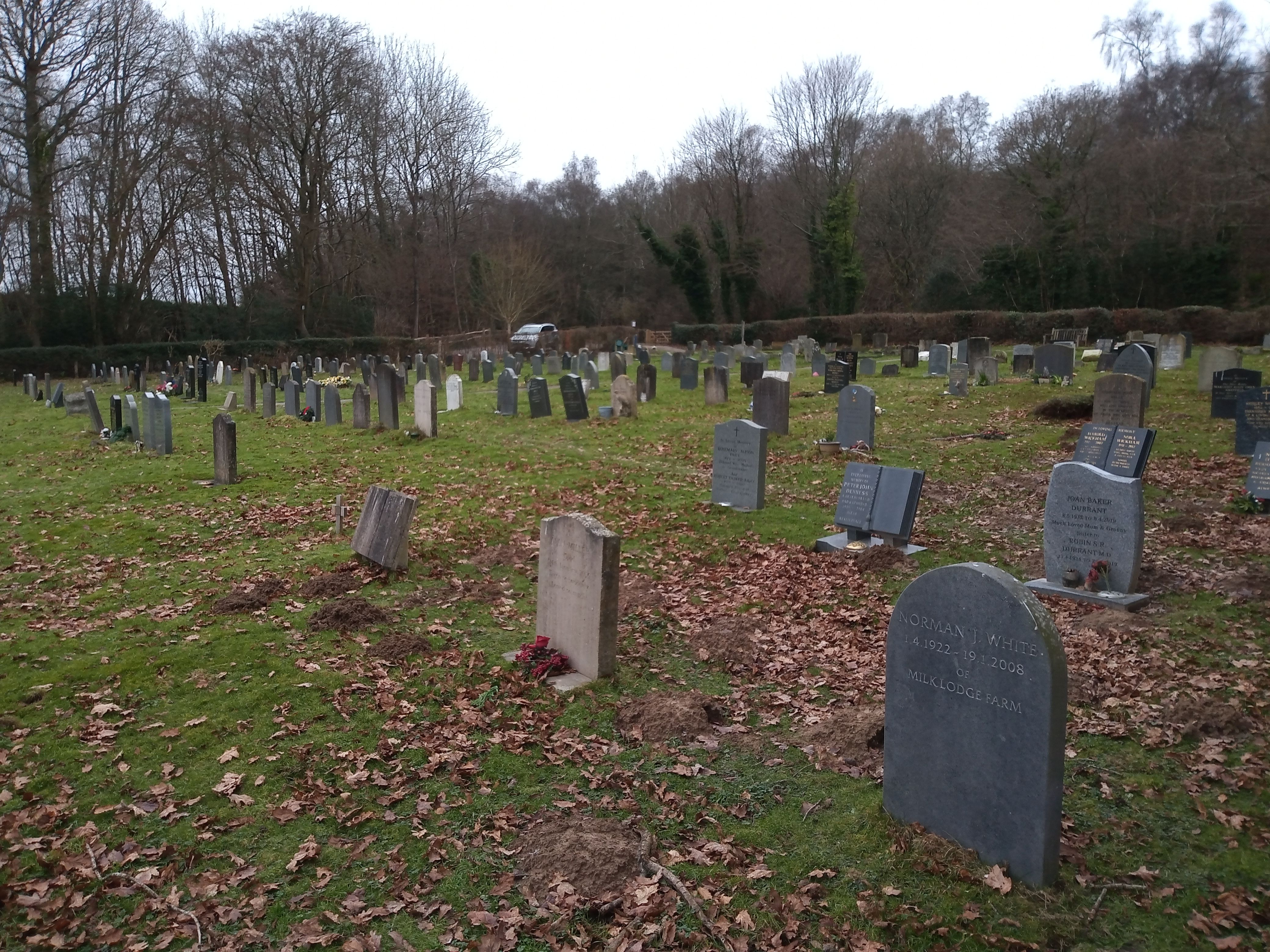
| Description | : | Opened in 1955, the cemetery is located north of the Parish Church |
frequently asked questions (FAQ):
-
Where is Rotherfield Cemetery?
Rotherfield Cemetery is located at Eridge Lane, Rotherfield Rotherfield, Wealden District ,East Sussex ,England.
-
Rotherfield Cemetery cemetery's updated grave count on graveviews.com?
0 memorials
-
Where are the coordinates of the Rotherfield Cemetery?
Latitude: 51.0553690
Longitude: 0.2191294
Nearby Cemetories:
1. St. Denys Churchyard
Rotherfield, Wealden District, England
Coordinate: 51.0460000, 0.2184000
2. All Saints Churchyard
Crowborough, Wealden District, England
Coordinate: 51.0550461, 0.1649020
3. Crowborough Cemetery
Crowborough, Wealden District, England
Coordinate: 51.0472660, 0.1648910
4. Convent of the Holy Child
Mayfield, Wealden District, England
Coordinate: 51.0216780, 0.2609150
5. St. Dunstan Churchyard
Mayfield, Wealden District, England
Coordinate: 51.0207710, 0.2605280
6. Mayfield School Chapel
Mayfield, Wealden District, England
Coordinate: 51.0212245, 0.2614751
7. Holy Trinity Churchyard
Eridge Green, Wealden District, England
Coordinate: 51.0989300, 0.2232190
8. Forest Fold Baptist Chapel
Crowborough, Wealden District, England
Coordinate: 51.0715790, 0.1531650
9. St. John the Evangelist Churchyard
Crowborough, Wealden District, England
Coordinate: 51.0656784, 0.1441483
10. Tidebrook Churchyard
Wadhurst, Wealden District, England
Coordinate: 51.0467700, 0.3013730
11. St. Alban's Churchyard
Frant, Wealden District, England
Coordinate: 51.0980580, 0.2698300
12. St Mark Churchyard
Hadlow Down, Wealden District, England
Coordinate: 50.9967460, 0.1786580
13. St John the Evangelist Churchyard
Groombridge, Wealden District, England
Coordinate: 51.1179771, 0.1854370
14. High Hurstwood Holy Trinity Churchyard
Rother District, England
Coordinate: 51.0183300, 0.1296300
15. St. Michael and All Angels Churchyard
Withyham, Wealden District, England
Coordinate: 51.0999580, 0.1322440
16. Kent and Sussex Cemetery and Crematorium
Royal Tunbridge Wells, Tunbridge Wells Borough, England
Coordinate: 51.1173720, 0.2740330
17. St. John the Evangelist Churchyard
Uckfield, Wealden District, England
Coordinate: 51.0230540, 0.1114440
18. St. Paul's Churchyard
Rusthall, Tunbridge Wells Borough, England
Coordinate: 51.1307144, 0.2376710
19. All Saints Churchyard
Langton Green, Tunbridge Wells Borough, England
Coordinate: 51.1309738, 0.2022060
20. St. Peter & St. Paul Churchyard
Wadhurst, Wealden District, England
Coordinate: 51.0626960, 0.3400690
21. Trinity Churchyard
Royal Tunbridge Wells, Tunbridge Wells Borough, England
Coordinate: 51.1328200, 0.2623600
22. St. Mary the Virgin Churchyard
Buxted, Wealden District, England
Coordinate: 50.9912990, 0.1354620
23. St Martin of Tours Churchyard
Ashurst, Tunbridge Wells Borough, England
Coordinate: 51.1306560, 0.1590710
24. St Bartholomew Churchyard
Wealden District, England
Coordinate: 50.9715490, 0.2338890