
| Memorials | : | 1 |
| Location | : | Glennon, Bollinger County, USA |
| Coordinate | : | 37.1938800, -89.9193340 |
frequently asked questions (FAQ):
-
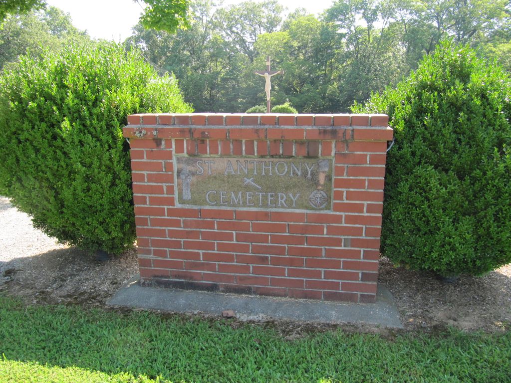
Where is Saint Anthony Catholic Cemetery?
Saint Anthony Catholic Cemetery is located at Glennon, Bollinger County ,Missouri ,USA.
-
Saint Anthony Catholic Cemetery cemetery's updated grave count on graveviews.com?
1 memorials
-
Where are the coordinates of the Saint Anthony Catholic Cemetery?
Latitude: 37.1938800
Longitude: -89.9193340
Nearby Cemetories:
1. Hebenstreit Farm Family Plot
Drum, Bollinger County, USA
Coordinate: 37.1886101, -89.8936081
2. Wayne Cemetery
Drum, Bollinger County, USA
Coordinate: 37.1925000, -89.8872000
3. Dongola Cemetery
Dongola, Bollinger County, USA
Coordinate: 37.1661750, -89.9630440
4. Ladd Cemetery
Marble Hill, Bollinger County, USA
Coordinate: 37.1630340, -89.9601890
5. Hood Cemetery
Leopold, Bollinger County, USA
Coordinate: 37.2355500, -89.8980100
6. Scott Cemetery
Leopold, Bollinger County, USA
Coordinate: 37.2186012, -89.8681030
7. Mansker Cemetery
Dongola, Bollinger County, USA
Coordinate: 37.1907997, -89.9891968
8. Kellion Cemetery
Schlatitz, Bollinger County, USA
Coordinate: 37.1582985, -89.9766998
9. Collins Cemetery
Dongola, Bollinger County, USA
Coordinate: 37.1720800, -89.9883900
10. Fairview Cemetery
Arbor, Cape Girardeau County, USA
Coordinate: 37.1711600, -89.8438600
11. Saint Johns Cemetery
Leopold, Bollinger County, USA
Coordinate: 37.2585983, -89.9282990
12. Passover Cemetery
Whitewater, Cape Girardeau County, USA
Coordinate: 37.2256012, -89.8458023
13. Frazier Cemetery
Bollinger County, USA
Coordinate: 37.1383018, -89.8685989
14. Hinkle-Crites Cemetery
Greenbrier, Bollinger County, USA
Coordinate: 37.1470900, -89.9843100
15. Perkins Cemetery
Bollinger County, USA
Coordinate: 37.2738991, -89.9313965
16. Green Cox Cemetery
Green Cox, Cape Girardeau County, USA
Coordinate: 37.1410000, -89.8390000
17. Clubb Creek Church Cemetery
Trowel, Bollinger County, USA
Coordinate: 37.2318306, -90.0125275
18. Barks Chapel Cemetery
Whitewater, Cape Girardeau County, USA
Coordinate: 37.2642212, -89.8592606
19. Balch Chapel Cemetery
Zalma, Bollinger County, USA
Coordinate: 37.1545105, -90.0145264
20. Crites Cemetery
Trowel, Bollinger County, USA
Coordinate: 37.2318993, -90.0164032
21. Laflin Cemetery
Laflin, Bollinger County, USA
Coordinate: 37.2770157, -89.8894196
22. Trinity Methodist Cemetery
Delta, Cape Girardeau County, USA
Coordinate: 37.2104180, -89.8120640
23. Eaker Cemetery
Lutesville, Bollinger County, USA
Coordinate: 37.2778015, -89.9516983
24. Bollinger County Memorial Park Cemetery
Marble Hill, Bollinger County, USA
Coordinate: 37.2689018, -89.9871979