
| Memorials | : | 3 |
| Location | : | Whitwell, Bolsover District, England |
| Coordinate | : | 53.2859088, -1.2126154 |
frequently asked questions (FAQ):
-
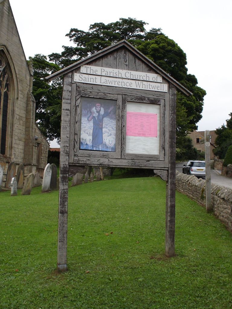
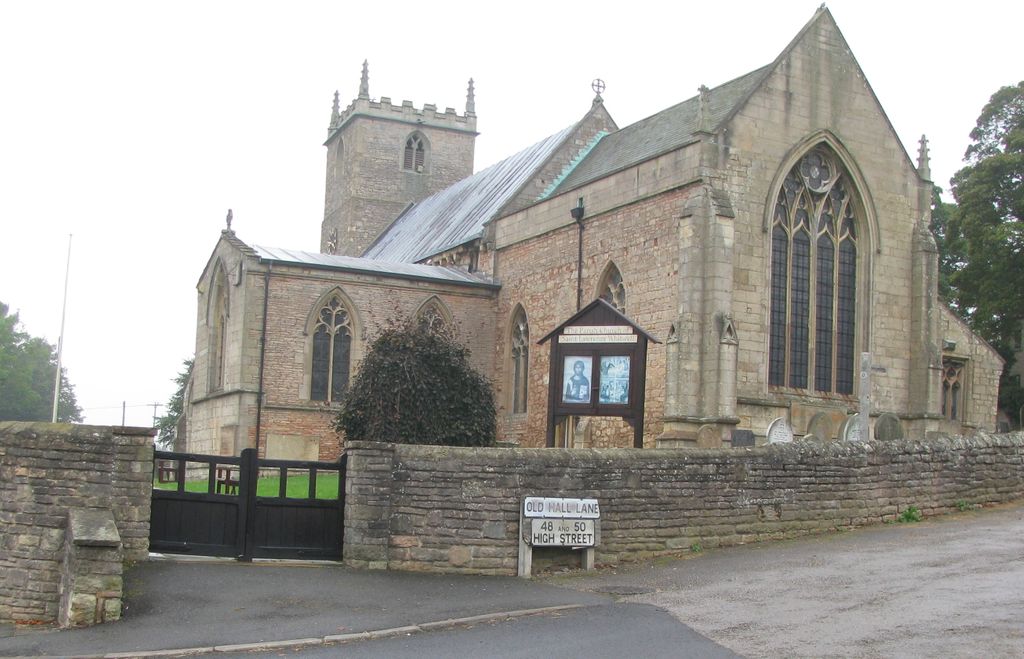
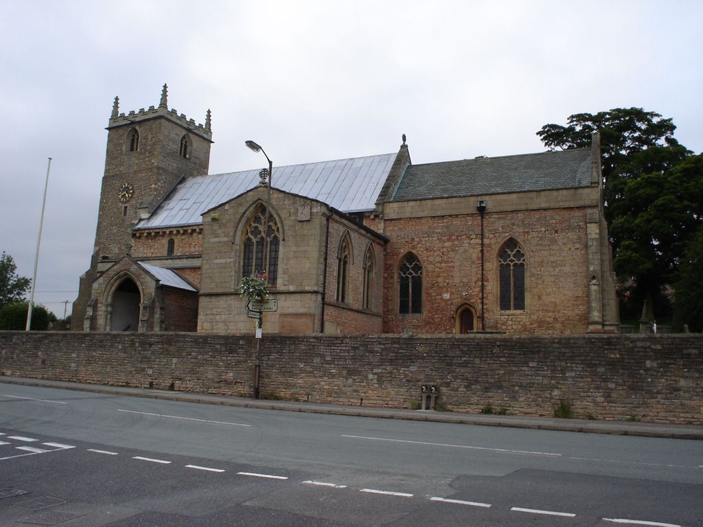
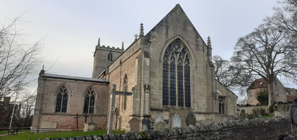
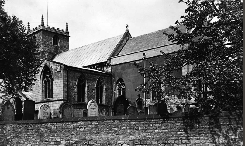
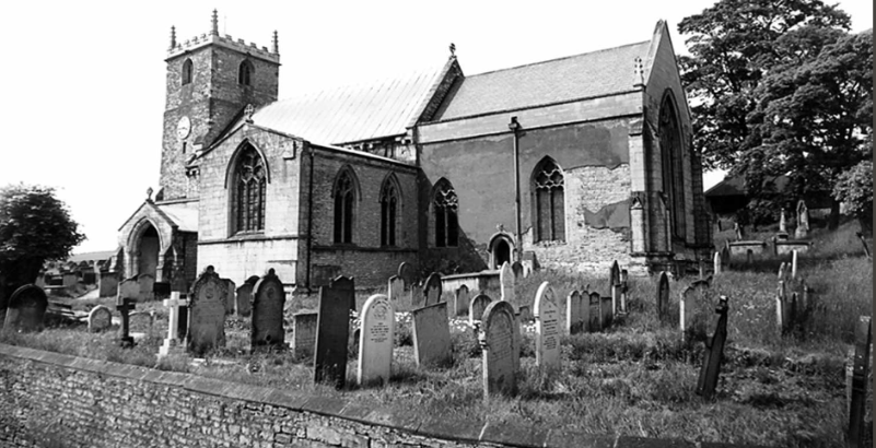
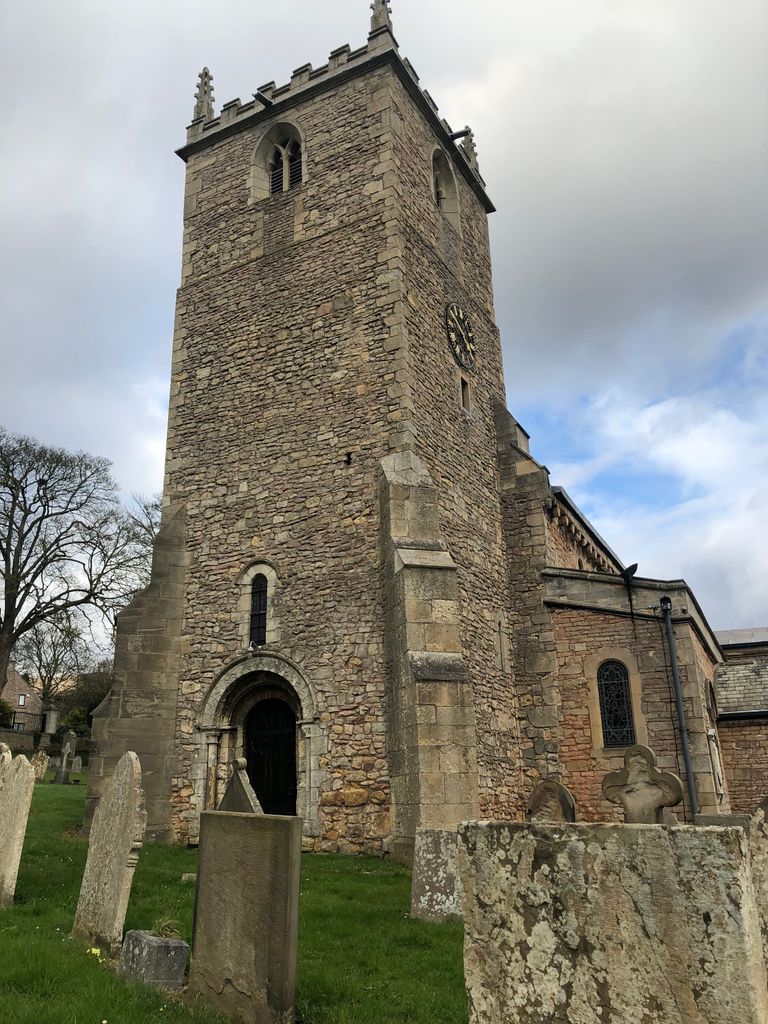
Where is Saint Lawrence Churchyard?
Saint Lawrence Churchyard is located at Whitwell, Bolsover District ,Derbyshire ,England.
-
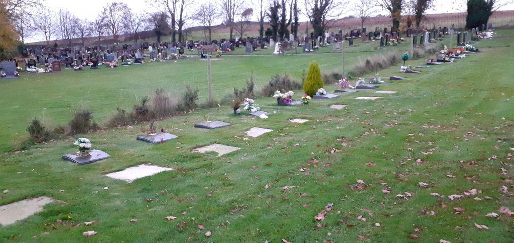
Saint Lawrence Churchyard cemetery's updated grave count on graveviews.com?
3 memorials
-
Where are the coordinates of the Saint Lawrence Churchyard?
Latitude: 53.2859088
Longitude: -1.2126154
Nearby Cemetories:
1. St Mary Magdalene Churchyard
Creswell, Stafford Borough, England
Coordinate: 53.2631170, -1.2132800
2. St. Mary Magdalene's Churchyard
Creswell, Bolsover District, England
Coordinate: 53.2630820, -1.2132450
3. All Saints Chapel
Bolsover District, England
Coordinate: 53.3027370, -1.1859097
4. St. Winifred Churchyard
Holbeck, Bassetlaw District, England
Coordinate: 53.2536780, -1.1817640
5. St. John The Baptist Churchyard
Clowne, Bolsover District, England
Coordinate: 53.2810167, -1.2750722
6. St. Peter's Churchyard
Thorpe Salvin, Metropolitan Borough of Rotherham, England
Coordinate: 53.3247920, -1.2200350
7. All Hallows Churchyard
Harthill, Metropolitan Borough of Rotherham, England
Coordinate: 53.3232800, -1.2604170
8. Clowne Cemetery
Clowne, Bolsover District, England
Coordinate: 53.2839777, -1.2917831
9. St. Lukes Whaley Thorns Burial Ground
Nether Langwith, Bassetlaw District, England
Coordinate: 53.2383210, -1.2034396
10. Anston Burial Ground
Anston, Metropolitan Borough of Rotherham, England
Coordinate: 53.3452140, -1.2139500
11. St. Mary's Churchyard
Norton, Bassetlaw District, England
Coordinate: 53.2364800, -1.1530400
12. Worksop Priory
Worksop, Bassetlaw District, England
Coordinate: 53.3039030, -1.1150690
13. St. James' Churchyard
Anston, Metropolitan Borough of Rotherham, England
Coordinate: 53.3476690, -1.2208800
14. Oxcroft Lane Cemetery
Bolsover, Bolsover District, England
Coordinate: 53.2374098, -1.2871212
15. St. George's Churchyard
Woodsetts, Metropolitan Borough of Rotherham, England
Coordinate: 53.3476000, -1.1729800
16. St. John the Baptist Church Cemetery
Wales, Metropolitan Borough of Rotherham, England
Coordinate: 53.3365267, -1.2841334
17. Killamarsh Cemetery
Killamarsh, North East Derbyshire District, England
Coordinate: 53.3231700, -1.3081400
18. St. John the Baptist Churchyard
Wales, Metropolitan Borough of Rotherham, England
Coordinate: 53.3389540, -1.2843530
19. St. John The Baptist Churchyard
Rotherham, Metropolitan Borough of Rotherham, England
Coordinate: 53.3391500, -1.2842450
20. Retford Road Cemetery
Worksop, Bassetlaw District, England
Coordinate: 53.3021540, -1.1010040
21. St. Giles Parish Church
Killamarsh, North East Derbyshire District, England
Coordinate: 53.3236200, -1.3092600
22. St. Peter and St. Paul's Churchyard
Todwick, Metropolitan Borough of Rotherham, England
Coordinate: 53.3514144, -1.2540578
23. St. Mary Old Churchyard
Bolsover, Bolsover District, England
Coordinate: 53.2276370, -1.2909470
24. Langwith Road Cemetery
Bolsover, Bolsover District, England
Coordinate: 53.2252800, -1.2883500