
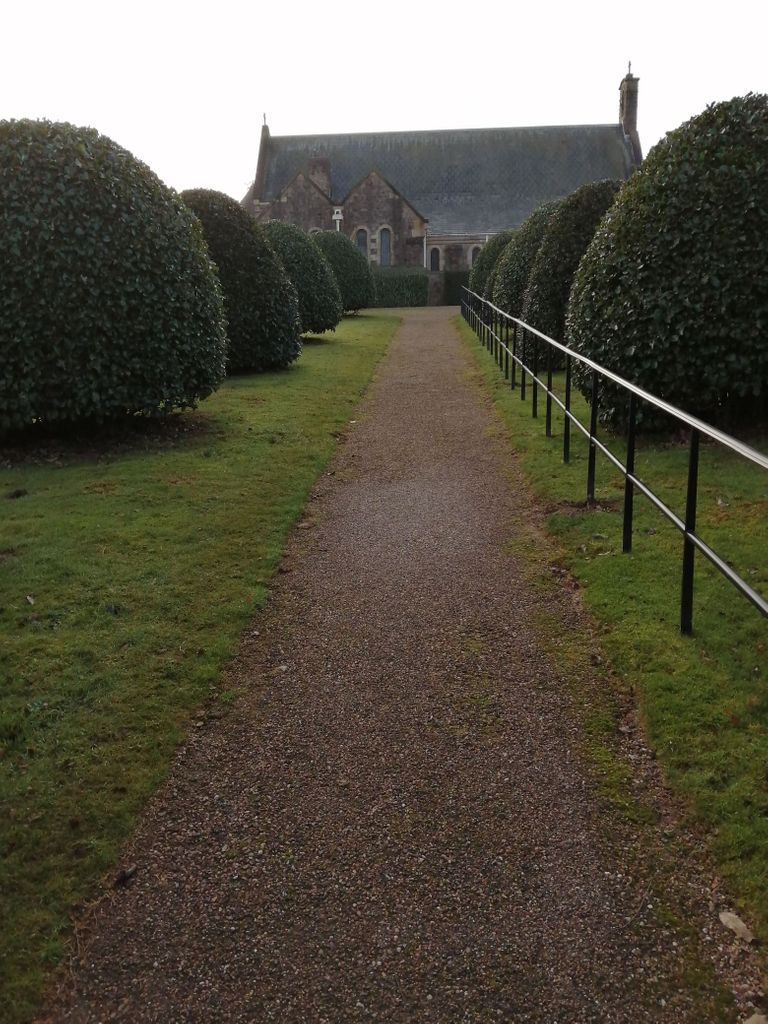
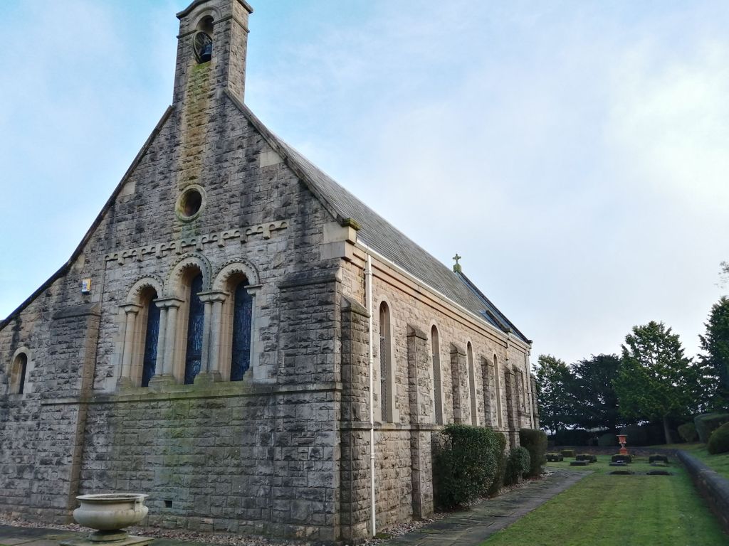
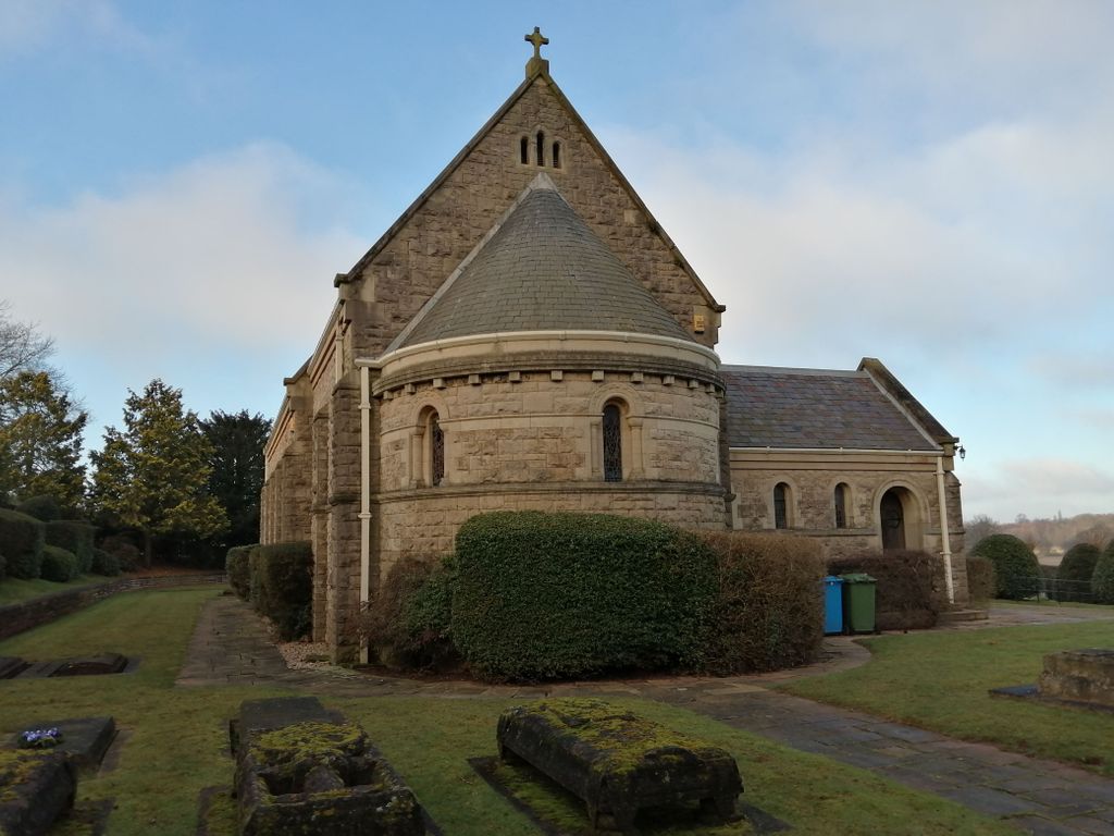
| Memorials | : | 1 |
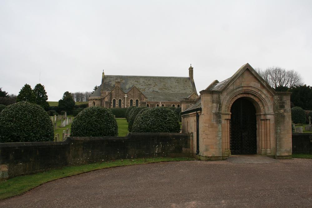
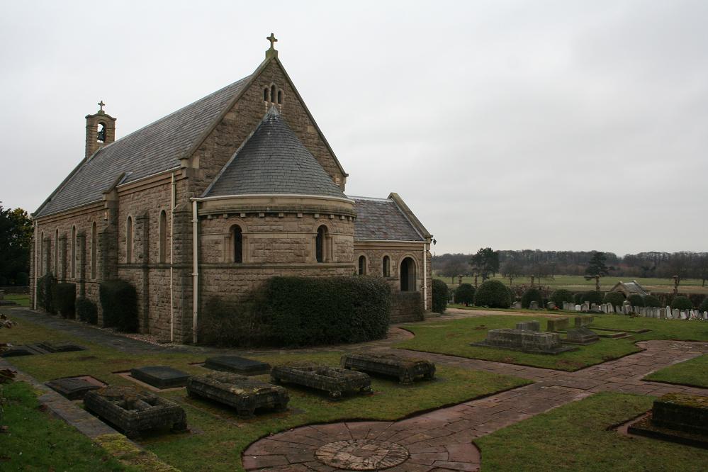
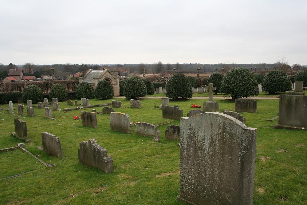
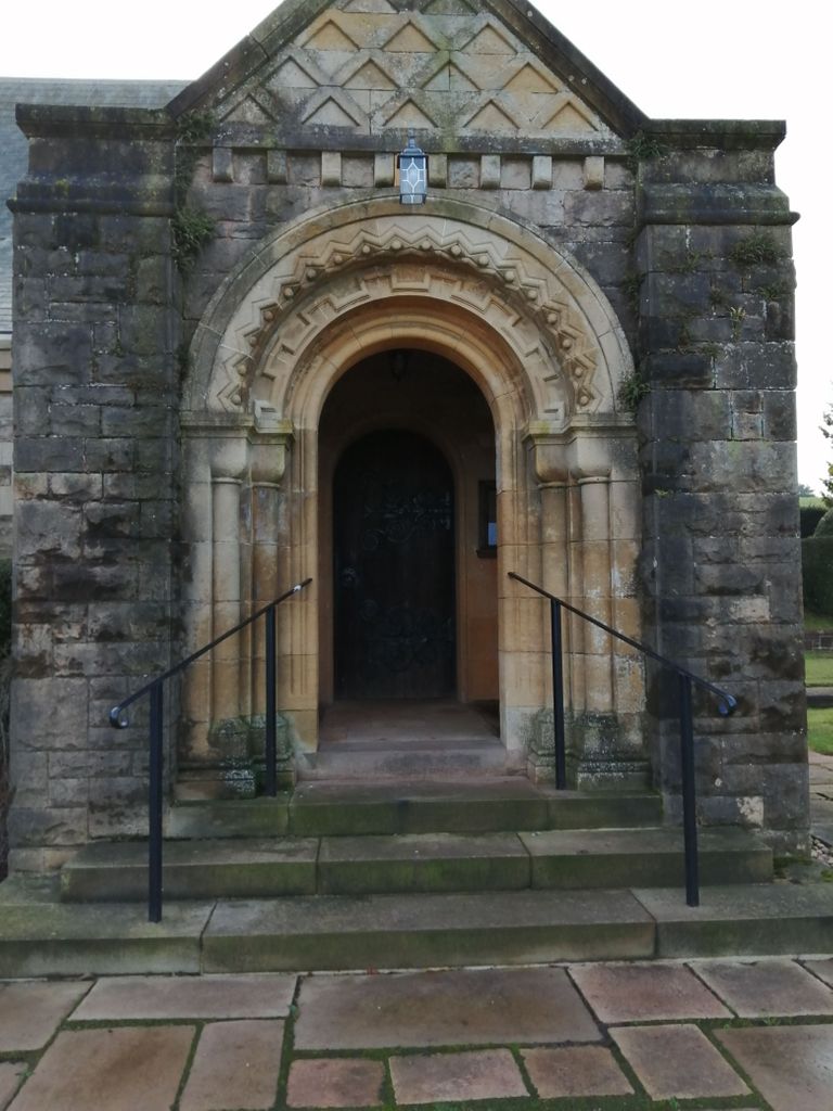
| Location | : | Holbeck, Bassetlaw District, England |
| Coordinate | : | 53.2536780, -1.1817640 |
frequently asked questions (FAQ):
-
Where is St. Winifred Churchyard?
St. Winifred Churchyard is located at Holbeck, Bassetlaw District ,Nottinghamshire ,England.
-
St. Winifred Churchyard cemetery's updated grave count on graveviews.com?
1 memorials
-
Where are the coordinates of the St. Winifred Churchyard?
Latitude: 53.2536780
Longitude: -1.1817640
Nearby Cemetories:
1. St. Lukes Whaley Thorns Burial Ground
Nether Langwith, Bassetlaw District, England
Coordinate: 53.2383210, -1.2034396
2. St. Mary Magdalene's Churchyard
Creswell, Bolsover District, England
Coordinate: 53.2630820, -1.2132450
3. St Mary Magdalene Churchyard
Creswell, Stafford Borough, England
Coordinate: 53.2631170, -1.2132800
4. St. Mary's Churchyard
Norton, Bassetlaw District, England
Coordinate: 53.2364800, -1.1530400
5. Saint Lawrence Churchyard
Whitwell, Bolsover District, England
Coordinate: 53.2859088, -1.2126154
6. Warsop Cemetery
Warsop, Mansfield District, England
Coordinate: 53.2160000, -1.1497000
7. St. Peter & St. Paul's Churchyard
Church Warsop, Mansfield District, England
Coordinate: 53.2134000, -1.1511200
8. All Saints Chapel
Bolsover District, England
Coordinate: 53.3027370, -1.1859097
9. St. Giles Churchyard
Carburton, Bassetlaw District, England
Coordinate: 53.2530500, -1.0855200
10. Saint Leonard Churchyard
Scarcliffe, Bolsover District, England
Coordinate: 53.2139400, -1.2597200
11. St. John The Baptist Churchyard
Clowne, Bolsover District, England
Coordinate: 53.2810167, -1.2750722
12. Worksop Priory
Worksop, Bassetlaw District, England
Coordinate: 53.3039030, -1.1150690
13. Oxcroft Lane Cemetery
Bolsover, Bolsover District, England
Coordinate: 53.2374098, -1.2871212
14. Retford Road Cemetery
Worksop, Bassetlaw District, England
Coordinate: 53.3021540, -1.1010040
15. Langwith Road Cemetery
Bolsover, Bolsover District, England
Coordinate: 53.2252800, -1.2883500
16. St. Mary Old Churchyard
Bolsover, Bolsover District, England
Coordinate: 53.2276370, -1.2909470
17. Clowne Cemetery
Clowne, Bolsover District, England
Coordinate: 53.2839777, -1.2917831
18. St. Peter's Churchyard
Thorpe Salvin, Metropolitan Borough of Rotherham, England
Coordinate: 53.3247920, -1.2200350
19. All Hallows Churchyard
Harthill, Metropolitan Borough of Rotherham, England
Coordinate: 53.3232800, -1.2604170
20. The Forest Cemetery
Edwinstowe, Newark and Sherwood District, England
Coordinate: 53.1990600, -1.0704800
21. St Michael Churchyard
Pleasley, Bolsover District, England
Coordinate: 53.1755900, -1.2469200
22. St. Edmund King & Martyr Churchyard Extension
Mansfield, Mansfield District, England
Coordinate: 53.1638200, -1.1900600
23. St. Mary's Churchyard
Edwinstowe, Newark and Sherwood District, England
Coordinate: 53.1958920, -1.0656390
24. St. John The Evangelist Church
Nottingham Unitary Authority, England
Coordinate: 53.2317530, -1.0345260